The best walks and hikes around Tamurejo
5.0
(1)
2
hikers
3
hikes
Hiking around Tamurejo offers diverse natural landscapes within the La Siberia Biosphere Reserve, characterized by forest formations, extensive reservoirs, and traditional olive groves. The region is shaped by the Guadiana and Zújar rivers, creating an "inland sea" environment. Hikers can explore varied terrain, from river valleys to prominent rock formations and viewpoints. The area provides opportunities to experience rich biodiversity and unique ecosystems.
Best hiking trails around Tamurejo
- The most popular hiking route is From Agudo to Tamurejo — circular…
Last updated: July 2, 2026
21.1km
05:50
350m
350m
Hard hike. Very good fitness required. Easily-accessible paths. Suitable for all skill levels.
5.01km
01:31
180m
180m
Easy hike. Great for any fitness level. Easily-accessible paths. Suitable for all skill levels.

Sign up for free
16.7km
04:31
230m
230m
Moderate hike. Good fitness required. Easily-accessible paths. Suitable for all skill levels.
16.1km
04:28
290m
290m
Moderate hike. Good fitness required. Easily-accessible paths. Suitable for all skill levels.
5.0
(1)
2
hikers
Moderate hike. Good fitness required. Easily-accessible paths. Suitable for all skill levels.
Our route recommendations are based on thousands of hikes, rides, and runs completed by other people on komoot.
Start today with a free account
Your next adventure awaits.
Login or Signup
Popular around Tamurejo
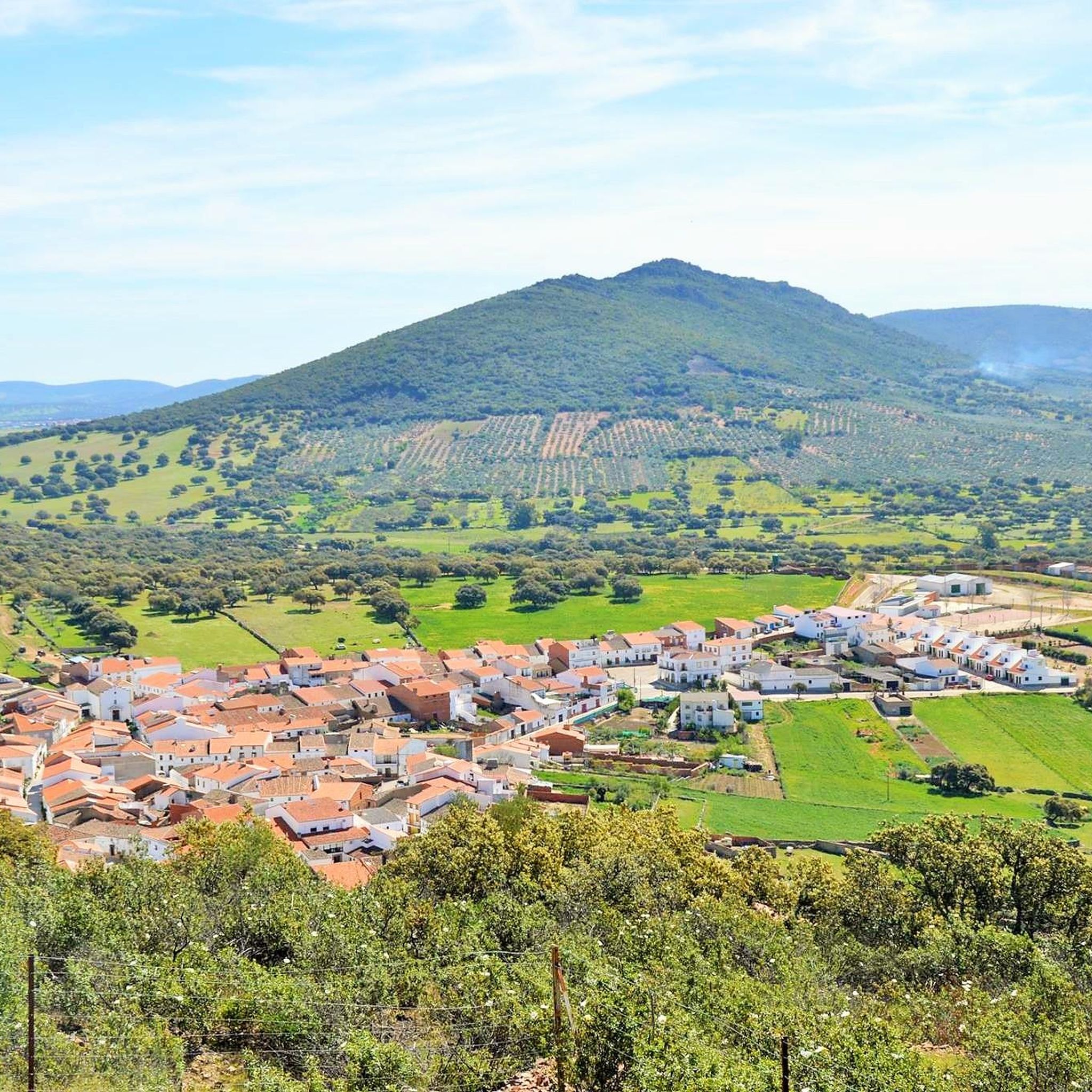
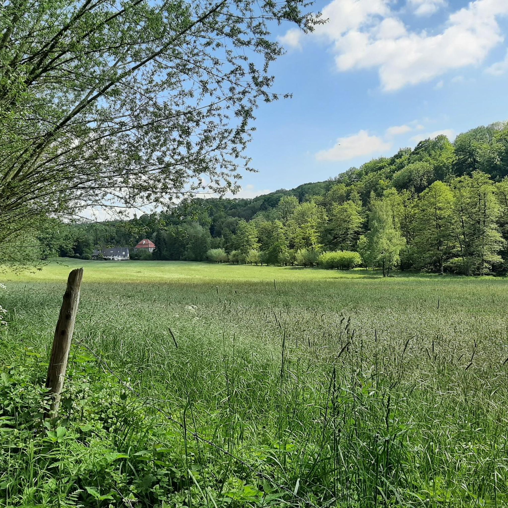
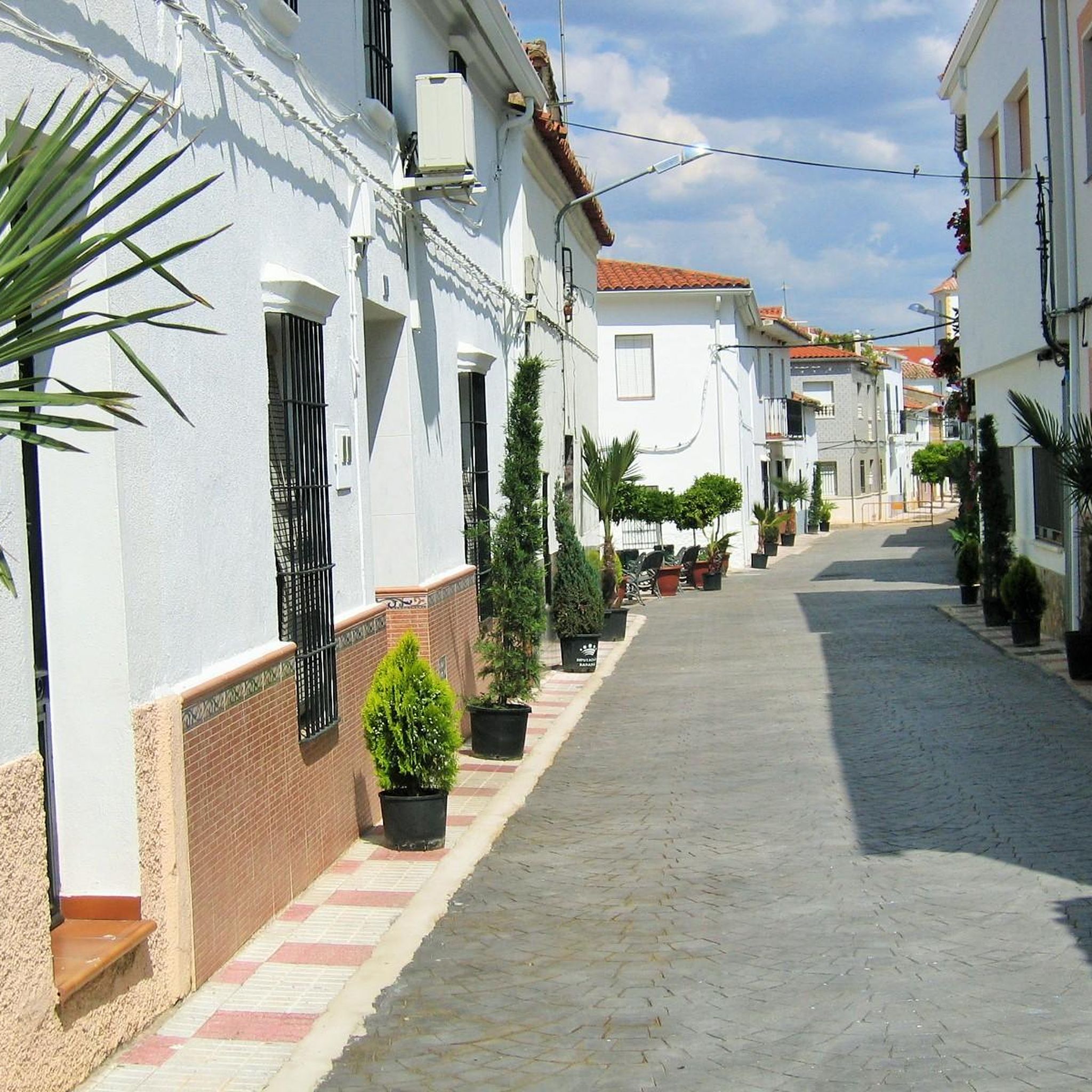
Tips from the Community

This is one of the paths that takes you in the direction of the top of Cerro de San Blas and that is further west and where the old path that took you from Agudo to Baterno is.
1
0
To the south of Cerro de San Blas we find Baterno, which is a small population center that is part of the commonwealth of La Siberia Extremeña.
2
0
Beautiful town that is located at the foot of a small hill called Pinguta del Morro and that is also located south of the Río Siruela.
1
0
Small town that is located in Valle de Alcudia and that bears the same name as the Río Agudo that runs through the north of the town.
2
0
Close to Fuenlabrada de los Montes, in the southwest, we find a mountain range that is divided into a pair, the southernmost one, called the Sierra de la Ubría. To the north is the Sierra del Chamorro.
2
0
Population that is on the border of the province of Badajoz and where it is characterized by having a hill with a viewpoint right next to the center from where you can see views of the surrounding area.
0
0
Population that is below the Sierra de los Villares and crossed by the Río Guadalemar. One of the most iconic elements of the center is its church, the Ermita de San Blas.
1
0
Frequently Asked Questions
What kind of hiking difficulty can I expect around Tamurejo?
The hiking trails around Tamurejo offer a range of difficulties. You can find easy paths, such as the Ascent to Cerro de San Blas — round trip from Baterno, which is 3.1 miles (5.0 km) long. There are also moderate routes like the Sierra de los Villares — circular desde Garbayuela, and more challenging options, such as the 13.1 miles (21.1 km) From Agudo to Tamurejo — circular from Baterno.
Are there any circular hiking routes around Tamurejo?
Yes, several circular routes are available. For a moderate challenge, consider the Sierra de la Ubría Loop from Fuenlabrada de los Montes, which covers 10.0 miles (16.1 km). Another option is the Puerto Zumajo Viejo – Puerto de la Presa loop from Fuenlabrada de los Montes, a 6.7 miles (10.7 km) moderate hike.
What natural landmarks or attractions can I discover while hiking in the Tamurejo area?
The region offers several notable natural attractions. You can explore the Sierra de la Ubría, a mountain range providing scenic views. The area is also characterized by its 'Siberian landscapes' with extensive reservoirs and forest formations. Specific points of interest mentioned in the region include Pinguta del Morro, offering panoramic vistas, and Peña del Águila, a prominent rock formation above the Agudo River.
Are there family-friendly hiking options in Tamurejo?
While specific family-focused routes aren't detailed, the presence of easy trails suggests options suitable for families. The Ascent to Cerro de San Blas — round trip from Baterno, at 3.1 miles (5.0 km) and rated easy, could be a good choice for families looking for a shorter, less strenuous walk.
Can I bring my dog on the trails around Tamurejo?
The La Siberia Biosphere Reserve, where Tamurejo is located, is rich in biodiversity, including red deer, roe deer, and wild boar, as well as various bird species. While many trails in Spain are dog-friendly, it's always recommended to keep dogs on a leash to protect local wildlife and ensure their safety, especially in a biosphere reserve.
When is the best time of year to go hiking in Tamurejo?
The region's diverse landscapes, including reservoirs and forest formations, make it appealing across seasons. Spring and autumn generally offer milder temperatures, which are ideal for hiking. Summer can be quite warm, but the presence of large reservoirs like Orellana and Zújar provides opportunities for water activities and natural beaches, which might be combined with early morning or late afternoon hikes.
Are there hikes with water features or opportunities for wild swimming?
Yes, the Tamurejo area is defined by the Guadiana and Zújar rivers and five large reservoirs, creating an 'inland sea' environment. This means many routes will feature water. The Pretura del Benazaire Route is highlighted for its appealing water features. The natural beaches along the reservoirs also offer opportunities for wild swimming, particularly during warmer months.
What kind of wildlife might I encounter on the trails around Tamurejo?
As part of the La Siberia Biosphere Reserve, Tamurejo is a haven for biodiversity. Hikers might spot numerous bird species, including griffon vultures, Bonelli's eagles, and black storks. Mammals such as red deer, roe deer, and wild boar also inhabit the area, particularly in the forest formations and dehesa landscapes.
Are there options for longer, multi-day hiking adventures in the region?
For those seeking longer adventures, the broader La Siberia region is traversed by the GR-114, known as the Camino Natural del Río Guadiana. This long-distance trail follows the Guadiana River and offers multi-stage hiking opportunities, allowing for extended exploration of the area's natural beauty.
What do other hikers say about the trails in Tamurejo?
The trails around Tamurejo are highly rated by the komoot community, with an average score of 5.0 stars from reviews. Hikers often praise the varied terrain, which includes forest formations, extensive reservoirs, and traditional olive groves, offering a rich and diverse outdoor experience.
Are there any historical or cultural points of interest along the hiking routes?
Yes, the region has cultural significance. The Fiesta de la Trashumancia Route, for example, follows a traditional livestock trail (Cañada Real) between Tamurejo and Siruela, offering an immersive experience through dehesa landscapes and highlighting the area's pastoral heritage. Additionally, the ruins of an old mill by the Agudo River, known as El Molino, are being rehabilitated into a nature and literature interpretation center, adding cultural interest to the natural beauty.
Most popular routes around Tamurejo
Most popular attractions around Tamurejo

Get inspired with the komoot mobile app


Explore more
Browse the best Hikes in other regions.
