The best MTB trails around Aguilar De La Frontera
4.7
(45)
621
riders
118
rides
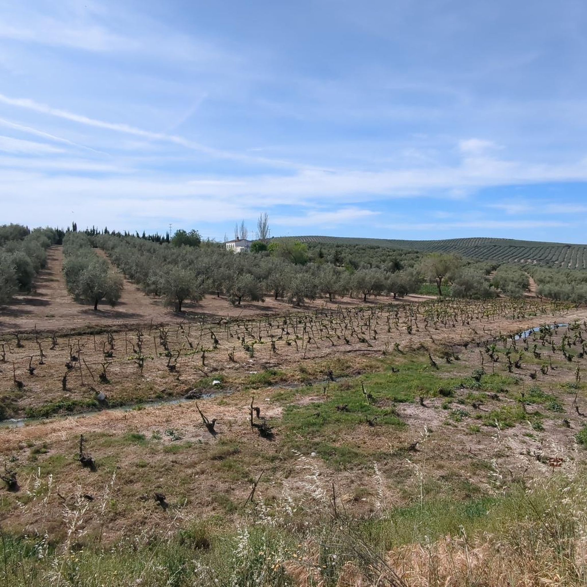
Mountain bike trails around Aguilar De La Frontera traverse a landscape characterized by rolling hills, extensive vineyards, and agricultural plains. The region features a mix of open countryside and areas with historical infrastructure, such as old railway lines and bridges, offering varied terrain for cycling. Elevations can range from gentle slopes to more significant climbs, providing diverse challenges for mountain bikers. This area in Córdoba, Spain, offers a blend of natural beauty and cultural points of interest along its routes.
…Last updated: July 5, 2026
Moderate mountain bike ride. Good fitness required. Advanced riding skills necessary.
5.0
(1)
20
riders
89.7km
07:01
1,340m
1,340m
Hard mountain bike ride. Very good fitness required. Advanced riding skills necessary.

Sign up for free
10
riders
50.1km
03:36
490m
500m
Moderate mountain bike ride. Good fitness required. Suitable for all skill levels.
6
riders
33.0km
02:27
340m
340m
Moderate mountain bike ride. Good fitness required. Suitable for all skill levels.
7
riders
Moderate mountain bike ride. Good fitness required. Suitable for all skill levels.
Get access to more routes and recommendations from other explorers.
Sign up for free
Already have an account?
Our route recommendations are based on thousands of hikes, rides, and runs completed by other people on komoot.
Start today with a free account
Your next adventure awaits.
Login or Signup
Tips from the Community

you eat well in Doña Mencía
0
0
give it your all
0
0

Old iron railway bridge, with some curious views
0
0

Aguilar de la Frontera [2] is a Spanish municipality in the southwest of the province of Córdoba, in the autonomous community of Andalusia. The municipality is located in the region of Campiña Sur Cordobesa [3] and is the seat of the judicial district of the same name. [4] It lies at an altitude of 280 m above sea level [5] and about 47 km from the provincial capital, Córdoba. [6] In 2017, it had 13,476 inhabitants and a population density of 82.01 inhabitants/km². [7]
0
0

Doña Mencía greenway station.
0
0

The viewpoint gives you impressive views of the canyon formed by the Bailón River and the town of Zuheros.
1
0
Frequently Asked Questions
What are the typical difficulty levels for mountain bike trails around Aguilar De La Frontera?
The trails around Aguilar De La Frontera offer a range of difficulties. You'll find approximately 13 easy routes, about 96 moderate routes, and 14 challenging routes, catering to various skill levels from beginners to experienced riders.
Are there any long-distance mountain bike routes in the area?
Yes, for those seeking longer rides, the Old Iron Bridge – San Marcos Bridge loop from Moriles is a challenging option, covering nearly 90 km (55.7 miles) with significant elevation gain. Another substantial route is the Plaza de San José – Montilla Town Center loop from Aguilar de la Frontera, which is about 52 km (32.3 miles) long.
What kind of terrain can I expect on mountain bike trails in Aguilar De La Frontera?
The landscape features rolling hills, extensive vineyards, and agricultural plains. You'll encounter a mix of open countryside and paths along historical infrastructure like old railway lines and bridges. Elevations vary from gentle slopes to more significant climbs, providing diverse challenges.
Are there mountain bike trails suitable for families or beginners?
Yes, the area offers options for easy family rides. With approximately 13 easy routes available, beginners and families can find suitable paths to enjoy the scenery without overly strenuous climbs. Look for routes with lower elevation gain and shorter distances.
What are some unique features or points of interest along the mountain bike trails?
Many routes incorporate historical elements, such as passages over old iron bridges and sections along former railway lines. You can also ride through picturesque areas like the Montilla Vineyards. The Moriles – Old Lucena Station loop from Moriles, for instance, passes by the Old Lucena Station, offering a glimpse into the region's past.
Are there any circular mountain bike routes available?
Yes, many routes are designed as loops. Examples include the challenging Old Iron Bridge – San Marcos Bridge loop from Moriles, the moderate San Marcos Bridge – Montilla Vineyards loop from Moriles, and the Laguna del Rincón loop from Aguilar de la Frontera.
What do other mountain bikers say about the trails in Aguilar De La Frontera?
The mountain bike trails in Aguilar De La Frontera are highly rated by the komoot community, with an average score of 4.8 stars from over 40 reviews. Riders often praise the varied terrain, the scenic vineyard landscapes, and the interesting historical infrastructure along the routes.
Are there any viewpoints or scenic spots along the trails?
Absolutely. The region's rolling hills and open countryside provide numerous scenic vistas. You can find specific viewpoints such as Views of the Malpasillo Dam and Genil River, offering expansive views of the natural landscape.
Can I find trails that pass by lakes or natural water features?
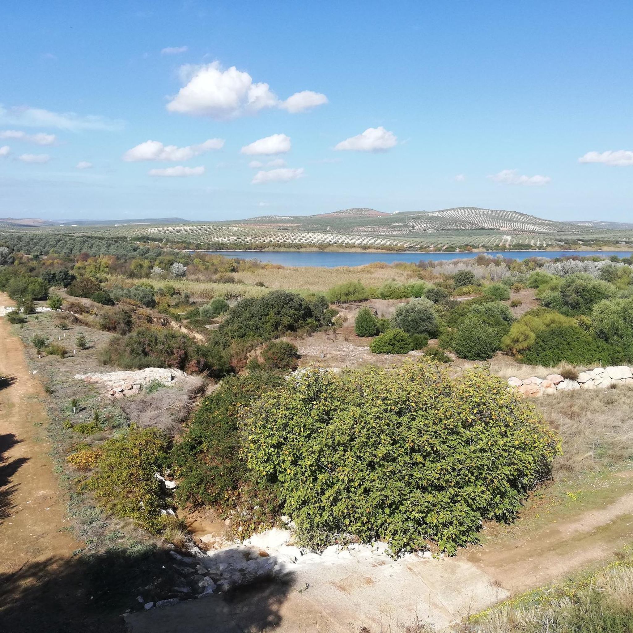
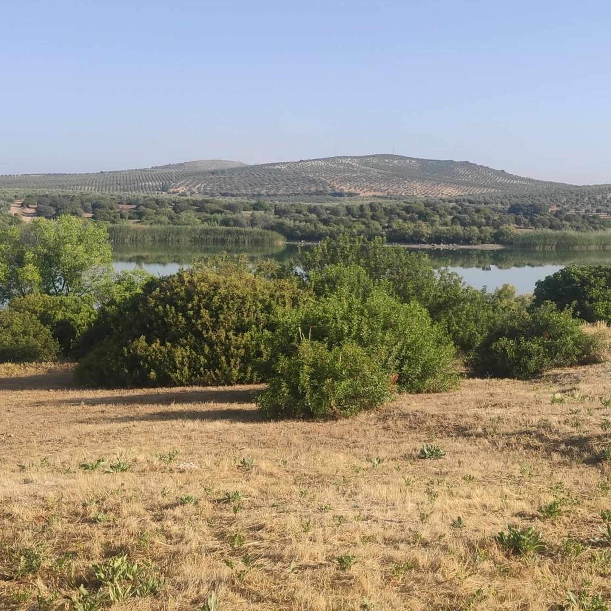
Yes, some routes will take you near natural water features. For example, the Laguna del Rincón loop from Aguilar de la Frontera passes by the Laguna del Rincón. Other notable lakes in the vicinity include Laguna de Tíscar and Laguna de los Jarales.
What is the best season for mountain biking in Aguilar De La Frontera?
While specific seasonal data isn't provided, regions in Córdoba, Spain, typically offer pleasant biking conditions in spring (March to May) and autumn (September to November) when temperatures are milder. Summers can be very hot, and winters are generally mild but can have occasional rain.
How many mountain bike routes are available in total around Aguilar De La Frontera?
There are over 120 mountain bike routes available around Aguilar De La Frontera, offering a wide variety of options for different preferences and skill levels.
Most popular routes around Aguilar De La Frontera
Most popular attractions around Aguilar De La Frontera

Get inspired with the komoot mobile app


Explore more
Browse the best MTB trails in other regions.
