The best running trails around A Peroxa
5.0
(4)
893
runners
36
runs
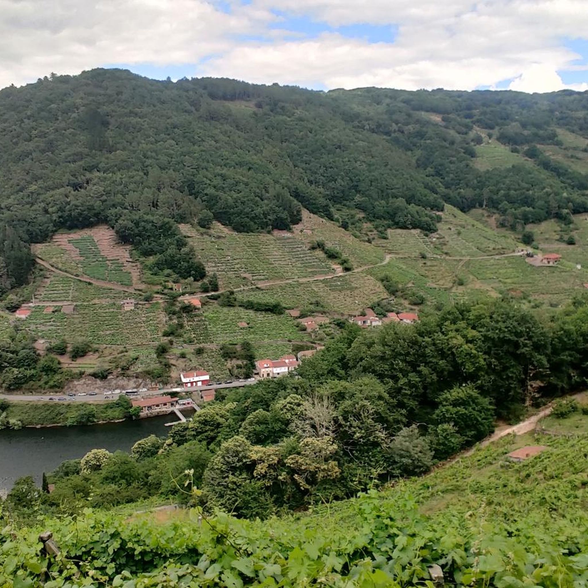
Jogging routes around A Peroxa are set within the picturesque province of Ourense in Galicia, Spain, offering diverse terrain for runners. The region is characterized by river valleys, ancient forests, and steeply terraced vineyards, particularly in areas connected to the Ribeira Sacra. Its varied topography, ranging from riverbanks to elevated viewpoints, provides a range of running experiences.
Best jogging routes around A Peroxa
- The most popular jogging route is Ribeira Sacra Natural Trail, a 11.2 miles (18.0 km) trail…
Last updated: October 15, 2026
1
runners
18.0km
02:20
630m
630m
Hard run. Very good fitness required. Mostly accessible paths. Some sure footedness required.
80
runners
50.8km
07:09
2,130m
2,130m
Hard run. Very good fitness required. Sure-footedness, sturdy shoes and alpine experience required.

10
runners
6.77km
00:55
340m
330m
Hard run. Very good fitness required. Mostly paved surfaces. Suitable for all skill levels.
7
runners
4.12km
00:35
190m
180m
Moderate run. Good fitness required. Mostly paved surfaces. Suitable for all skill levels.
7
runners
4.75km
00:39
200m
200m
Moderate run. Good fitness required. Mostly paved surfaces. Suitable for all skill levels.
Get access to more routes and recommendations from other explorers.
Already have an account?
Our route recommendations are based on thousands of hikes, rides, and runs completed by other people on komoot.
Start today with a free account
Your next adventure awaits.
Tips from the Community

Very good views of the Sil River canyon
1
0

Along the Sil River Canyon as it passes through the Ribeira Sacra there is a wide network of viewing points on both banks. Beautiful views.
6
0

Of medieval origins, this monastery is one of the most outstanding and spectacular in Galicia. Located on the left bank of the River Sil, the temple is made up of three cloisters, the monastic buildings and the church. It stands out for its large Baroque façade, although the complex also has elements of the Romanesque and Renaissance styles.
2
0
Beautiful waterfall hidden in the forest, a few meters from the Sil river.
2
0
Nice path in the middle of the forest between Santo Estevo and the Gundrei waterfall. Before reaching the waterfall, on the left you can see the River Sil running through the gorges.
2
0
Magnificent panoramic views over the Sil Canyon with a different perspective from the other viewpoints in the area. This is the reason why it is considered one of the most spectacular viewpoints in Nogueira de Ramuín.
3
1

The views of the Sil Canyon are truly incredible. They make you want to stop, stay there and be seduced by that show.
0
0
Frequently Asked Questions
How many running routes are available around A Peroxa?
There are over two dozen running routes around A Peroxa, offering a variety of experiences for different fitness levels. You'll find a good mix of moderate and challenging trails to explore.
Are there any easy or beginner-friendly jogging paths in A Peroxa?
While A Peroxa features many moderate and difficult routes, there are options that cater to varying fitness levels. For a relatively shorter and moderate option, consider the Cachamuíña Reservoir – Cachamuíña Reservoir loop from O Pereiro de Aguiar, which is 3.7 miles (5.9 km) long and takes about 37 minutes to complete.
What kind of terrain can I expect on the running trails in A Peroxa?
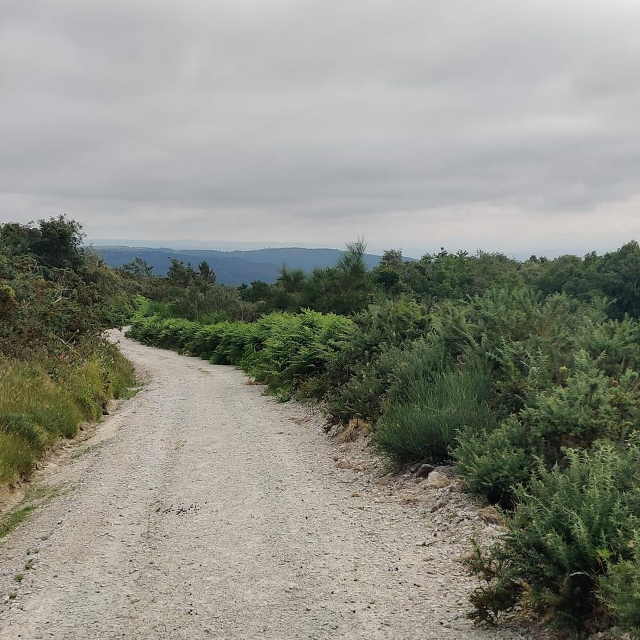
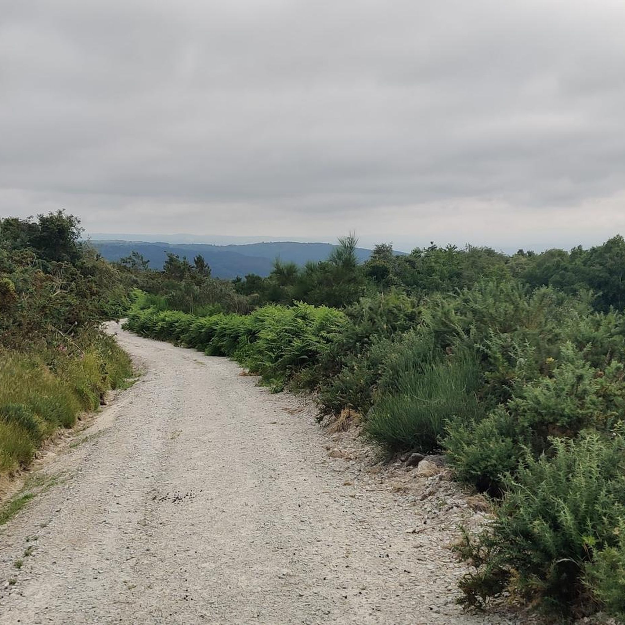
The running trails in A Peroxa offer diverse terrain, from paths winding through ancient forests and along river valleys to routes with stunning canyon views and steeply terraced vineyards, especially those connected to the Ribeira Sacra region. You'll encounter varied topography, including both flat sections and elevated viewpoints.
Are there any running routes that offer great views or pass by natural landmarks?
Absolutely. Many routes in A Peroxa provide breathtaking scenery. For instance, the Ribeira Sacra Natural Trail offers stunning canyon views, ancient forests, and terraced vineyards. You can also find routes near significant natural features like the Augacaída Waterfall, one of Galicia's highest, or the majestic Pedra Longa Viewpoint, offering expansive views of the Sil River canyon.
Can I find circular jogging routes in the A Peroxa area?
Yes, there are several circular jogging routes available. A popular choice is the Roman Bridge Ourense – Oira Footbridge loop from Ourense, which is a moderate 8.1 miles (13.1 km) path following river and urban green spaces. Another option is the Cachamuíña Reservoir – Cachamuíña Reservoir loop from O Pereiro de Aguiar.
What historical sites or attractions can I see near the jogging paths?
A Peroxa is rich in history and culture. You might encounter the ancient Monastery of San Pedro de Rocas, excavated directly into rock, or the ruins of the Castle of A Peroxa. The Ponte Vella (Roman Bridge of Ourense) is also a notable historical landmark accessible on some routes.
What do other runners say about the jogging routes in A Peroxa?
The running routes in A Peroxa are highly regarded by the komoot community, with an average score of 5.0 stars from 3 reviews. Over 500 runners have used komoot to explore the varied terrain, often praising the stunning natural landscapes, challenging ascents, and unique cultural points of interest like the terraced vineyards.
Are there any long-distance or challenging running trails for experienced runners?
Yes, experienced runners will find challenging options. The Ribeira Sacra Natural Trail is a difficult 11.2 miles (18.0 km) route with significant elevation gain, offering a demanding yet rewarding experience through canyons and ancient forests. Another difficult option is the A Lampa Viewpoint – Mirador da Lampa loop from Nogueira de Ramuín, spanning over 46 km.
Is it possible to access trailheads using public transport in A Peroxa?
While specific public transport details for every trailhead are not always readily available, many routes, especially those closer to Ourense like the Roman Bridge Ourense – Oira Footbridge loop, are often more accessible via urban or regional bus services. For more remote trails, a car might be necessary to reach the starting points.
Are there any running routes that pass by water features like rivers or waterfalls?
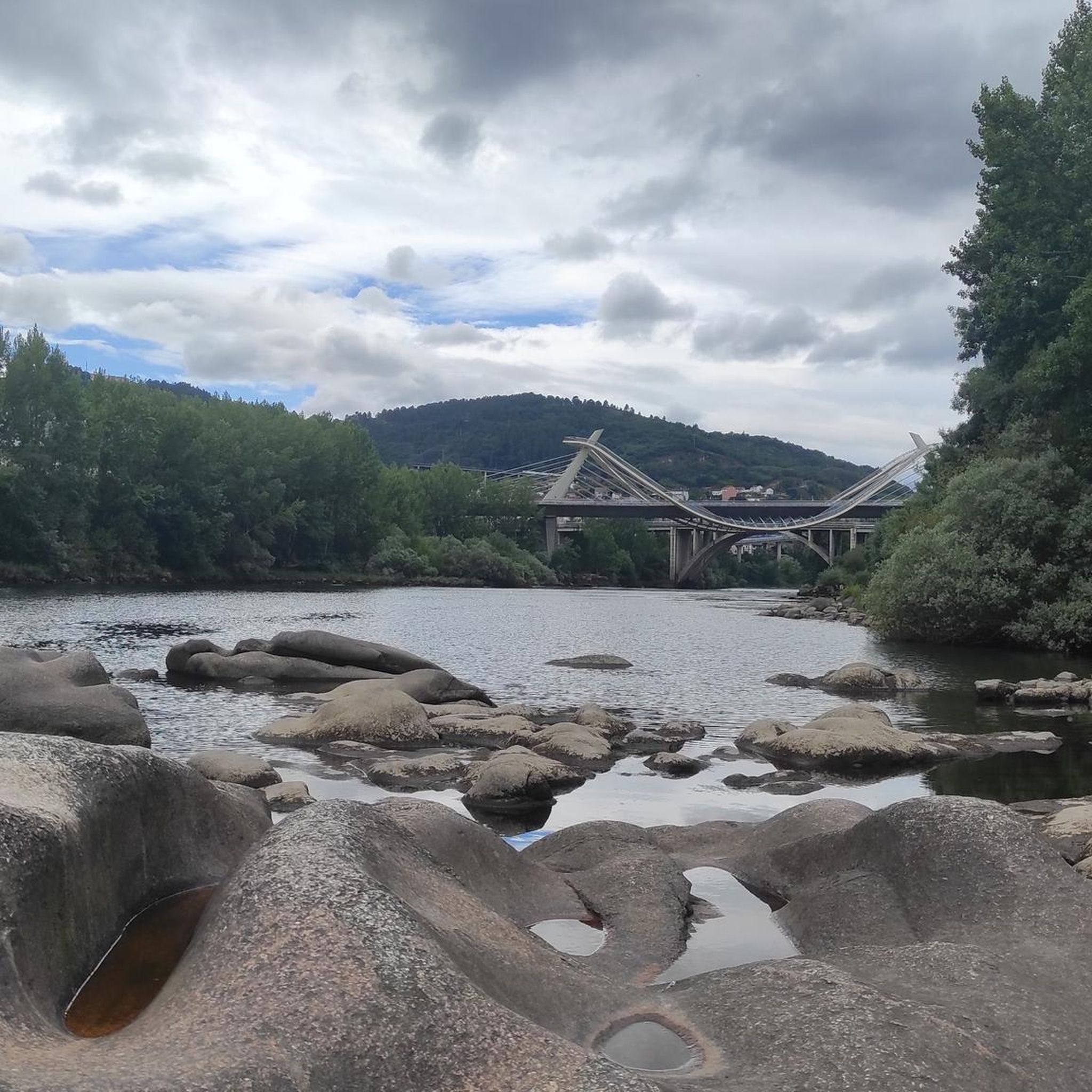
Yes, several routes incorporate water features. The region is defined by its river valleys, particularly the Miño and Sil rivers, so many paths follow riverbanks. You can also find routes that lead to natural spectacles like the Augacaída Waterfall, a magnificent 40-meter cascade.
What is the best time of year to go running in A Peroxa?
A Peroxa offers beautiful scenery year-round. Spring and autumn are generally ideal for running, with milder temperatures and vibrant natural colors. Summer can be warm, especially in the canyons, so early morning or late afternoon runs are recommended. Winter runs are possible, but be mindful of potential rain or cooler temperatures, especially at higher elevations.
Most popular attractions around A Peroxa

Get inspired with the komoot mobile app


Explore more
Browse the best Running Trails & Routes in other regions.
