The best walks and hikes around Calzada De Calatrava
4.5
(6)
11
hikers
6
hikes
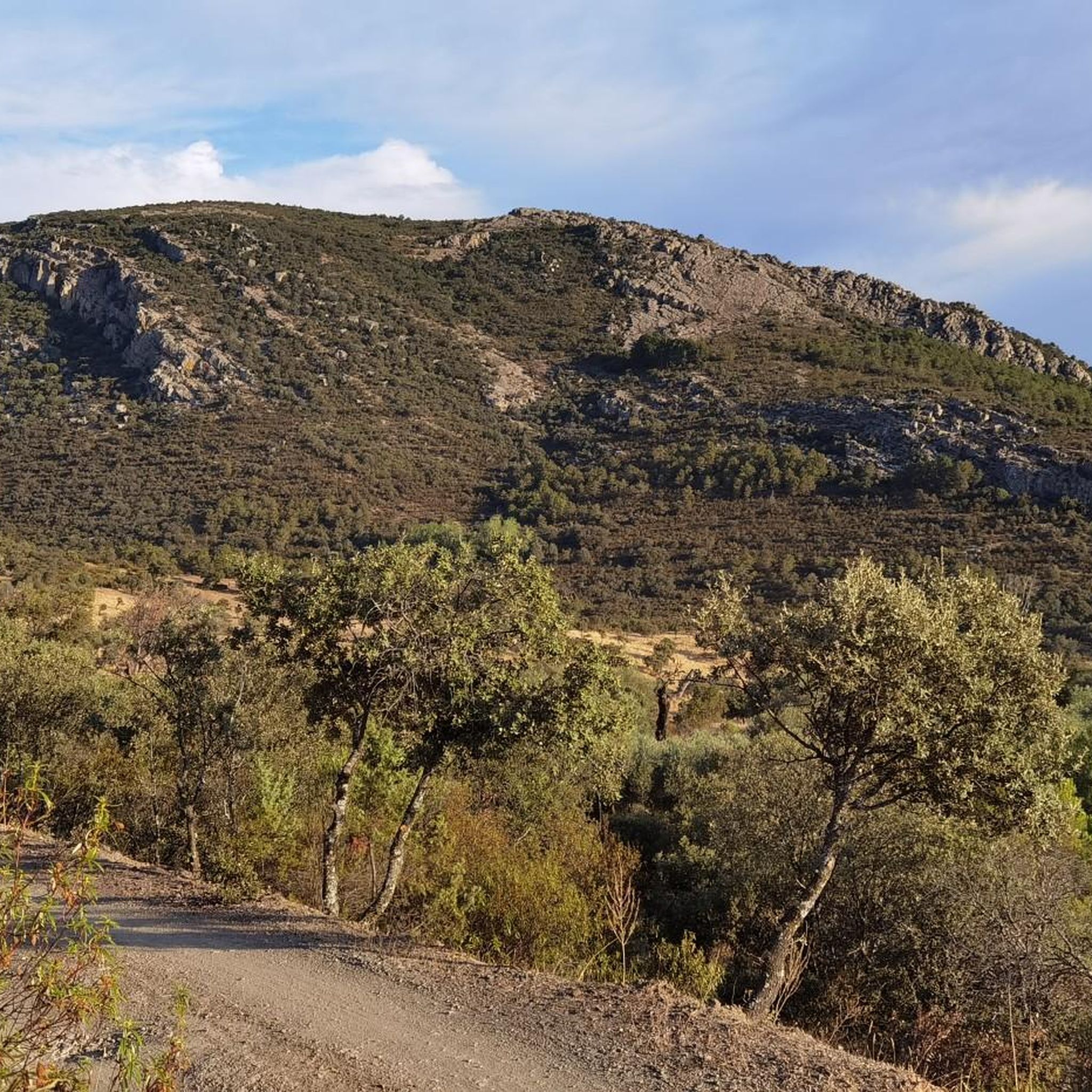
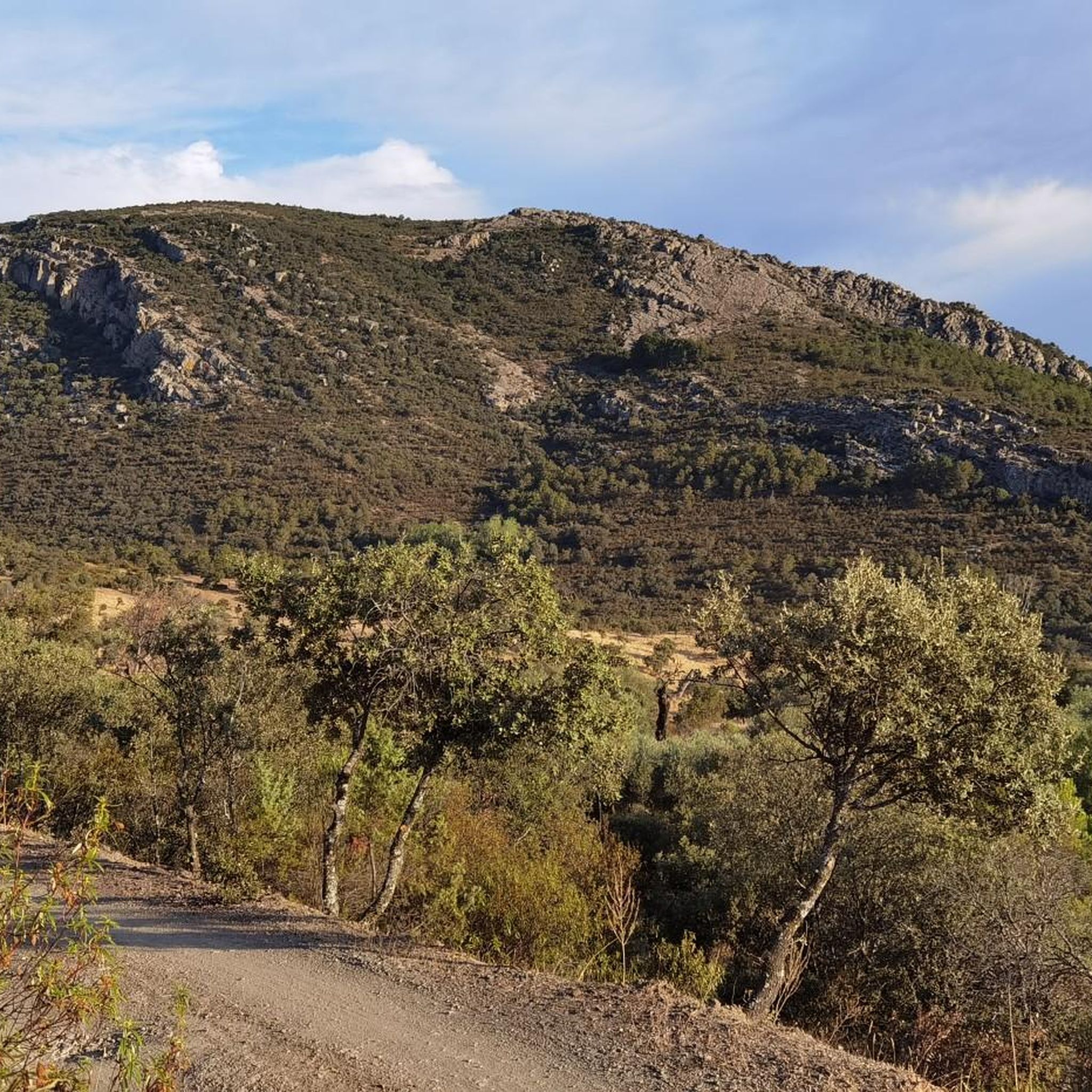
Hiking around Calzada De Calatrava offers exploration of a unique volcanic landscape in the Campo de Calatrava region of Spain, recognized by a UNESCO Global Geopark project. The terrain features over 300 volcanoes and 30 volcanic lagoons, creating a varied environment for trails. Hikers can encounter solidified lava fields, volcanic cones, and maars, alongside river valleys and historical sites. The region's geology and natural water features define its outdoor experience.
Best hiking trails around Calzada De Calatrava
- The most popular…
Last updated: June 27, 2026
1
hikers
Hard hike. Very good fitness required. Easily-accessible paths. Suitable for all skill levels.
4.0
(2)
2
hikers
16.3km
04:11
70m
70m
Moderate hike. Good fitness required. Easily-accessible paths. Suitable for all skill levels.

Sign up for free
17.0km
04:38
260m
260m
Moderate hike. Good fitness required. Easily-accessible paths. Suitable for all skill levels.
5.0
(1)
2
hikers
Moderate hike. Good fitness required. Easily-accessible paths. Suitable for all skill levels.
5.0
(1)
4
hikers
11.6km
03:01
80m
80m
Moderate hike. Good fitness required. Easily-accessible paths. Suitable for all skill levels.
Our route recommendations are based on thousands of hikes, rides, and runs completed by other people on komoot.
Start today with a free account
Your next adventure awaits.
Login or Signup
Other adventures around Calzada De Calatrava

Tips from the Community

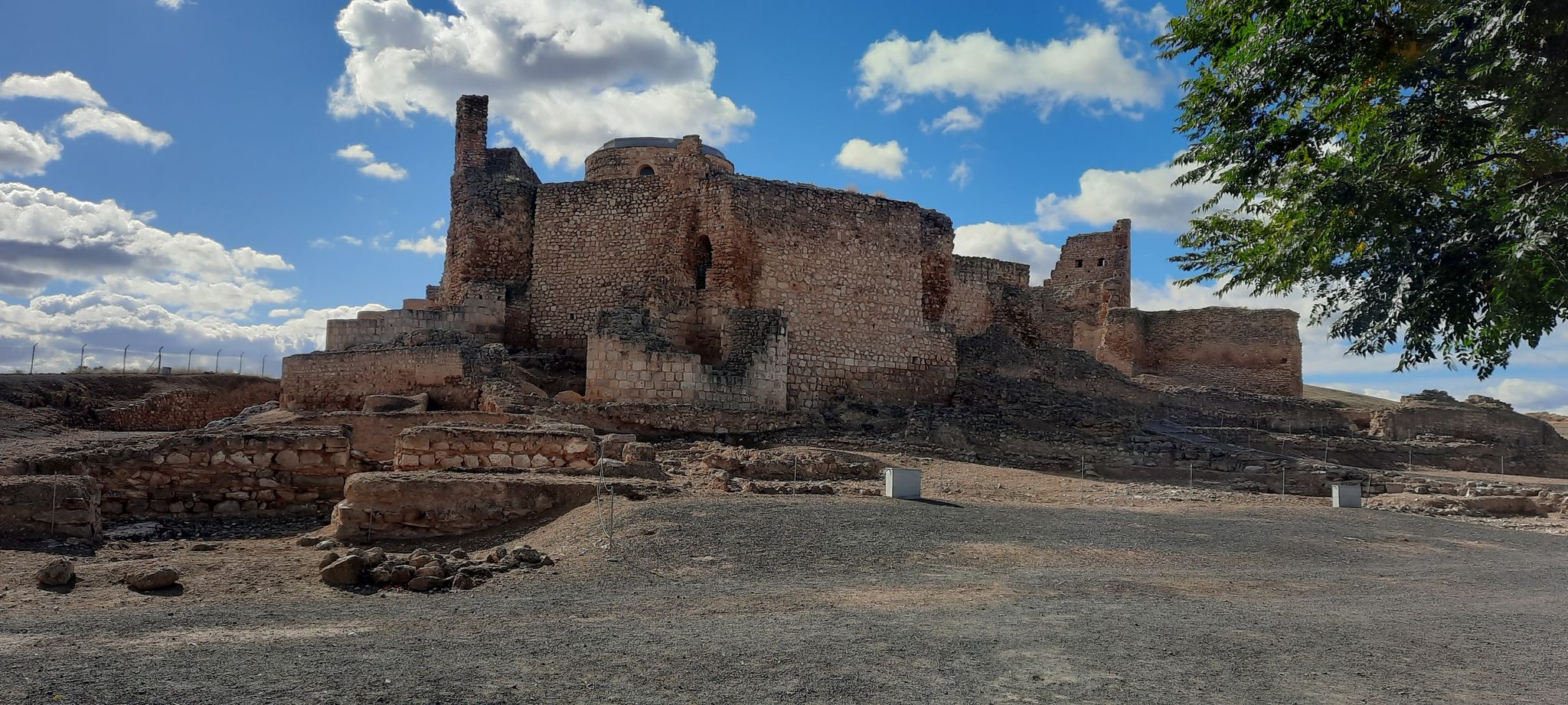
This castle stands on the impressive Alacranejo hill and, despite its original defensive character, it underwent various modifications. Opposite it there is another hill with the ruins of the Salvatierra Castle, in the lands of Calzada de Calatrava. It probably has Arab origins, but it was deeply remodeled with the transfer of the knights of the Order from the Castle of Calatrava La Vieja (Carrión de Calatrava) in 1217, after the battle of Las Navas de Tolosa with the aim of consolidating the defensive line of Sierra Morena. In turn, it is made up of three walled enclosures and is accessed by the original road that was built on the occasion of the visit of Philip II through the Iron Gate, in red volcanic stone. Afterwards, we can find the Gate of the Arches, which allows entry into the parlatorio or courtyard of the convent, the courtyards, the church, the rooms and the refectory. Really, when you walk through it, you can imagine what happened in
3
0
In the heart of Campo de Calatrava is Valenzuela de Calatrava. It limits to the north, east and west with the city of Almagro, from which it is barely 6 kilometers away, and to the south with Granátula de Calatrava. The origin of the town is in an Arab castle built by the Almoravids in the 12th century. and a small village dedicated to horticulture. In Valenzuela de Calatrava, its gasified water fountains are famous both in public fountains and in houses.
17
0

Impressive castle and church which is located on top of a hill and which can also be seen from afar. The views of both the castle and the panorama it offers are brutal!
1
0
The archaeological importance of the environment in which the site of Oreto and Zuqueca is located has been well known since ancient times, since the Cerro de Oreto is located nearby, which contains the ruins of the capital of Oretania, Oretum according to sources, ( Roman province that covered from north to south beyond Sierra Morena and extended to the end of Bética); the Cerro de los Obispos, an important Iberian site on whose slopes appeared some burials attributed to Visigothic bishops (one of them Bishop Amador, as recorded on the tombstone that covered his tomb); several late-Roman necropolises corresponding to that classical city and the Roman bridge over the Jabalón ordered to be built by Publio Baebio Venusto, dated between the end of the 1st century and the beginning of the 2nd century AD, and which has currently been covered by the waters of the Reservoir. Numerous pieces belonging to different periods have been found, among which are coins, ceramics, farm elements, and loom stones.
2
0

Ruins of the Christian castle of Salvatierra. It is located in front of the castle of Calatrava la Nueva guarding the Port of Calatrava. Very close to it, at a higher point, is the Castillo de los Cristianos or Don Alonso". Both castles can be visited, requesting the visit at the Calzada de Cva tourist office.
1
0
Bridge of the old highway "C-417, Daimiel to Calzada by Almagro" In 1992, with the commissioning of the Vega del Jabalón dam, this bridge was replaced because it was at the flood level. This bridge built by MOPU, probably in the 70's.
0
0
The so-called “hotbeds” are one of the most common phenomena in the Calatrava region, as a consequence of its intense volcanic activity. A unique spectacle that, together with sour springs, maares, wells, and jets or sinas, are part of the history of the region and that the Association for the Development of Campo de Calatrava tries to preserve and make known outside its borders.
21
0
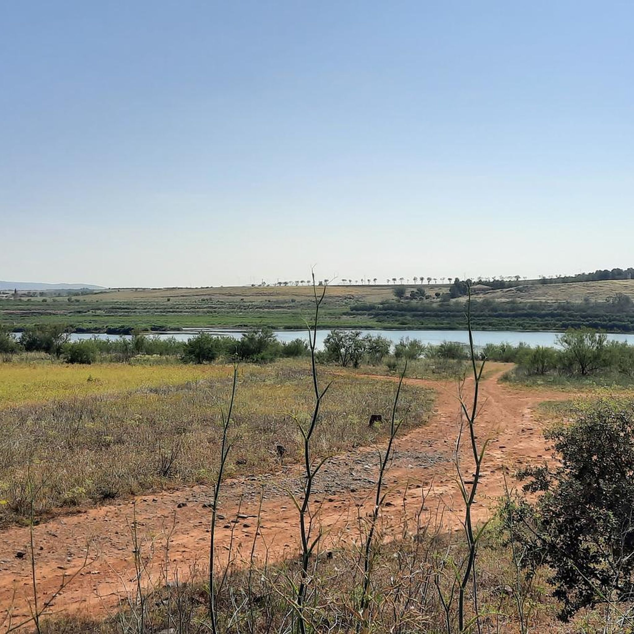
Old Jabalón River bridge parallel to the current CM-413, walking or by bike it is possible to cross.
24
0
Frequently Asked Questions
What kind of landscapes can I expect to see while hiking in Calzada De Calatrava?
Calzada De Calatrava is renowned for its unique volcanic landscapes, part of Western Europe's only volcanic area. You'll encounter trails leading through volcanic cones, craters, and solidified lava fields. The region also features picturesque volcanic lagoons, river valleys like the Jabalón, and historical sites integrated into the natural scenery.
Are there any circular hiking routes available in the area?
Yes, several circular routes are available. For instance, the Oreto y Zuqueca Archaeological Site Loop is a moderate 10.1-mile trail that explores ancient sites along the Jabalón River. Another option is the Los Castillos de los Cristianos, de Salvatierra y de Calatrava la Nueva — circular, a more challenging 10.2-mile route offering panoramic views of historical castles.
What are the difficulty levels of hiking trails around Calzada De Calatrava?
The trails around Calzada De Calatrava offer a range of difficulties. You'll find a good selection of moderate routes, such as the Sierras de Aldea del Rey — circular por el Cerro de la Higuera, which is 10.6 miles long. There are also more challenging options, including two difficult routes for experienced hikers.
Can I explore historical sites while hiking in Calzada De Calatrava?
Absolutely. Hiking in this region often combines natural beauty with historical exploration. You can visit the Castle of Calatrava la Nueva and Sacred Convent, a 13th-century fortress, or the older Salvatierra Castle. The Oreto y Zuqueca Archaeological Site Loop specifically takes you through an ancient site with remnants of a Roman bridge.
Are there any notable natural features or landmarks to see?
Yes, the region is rich in natural landmarks. You can explore the Cerro Gordo Volcano, which has a visitor center and marked paths. Other natural highlights include the Hervideros Baños del Barranco and the El Chorrillo Spring. The area's volcanic lagoons, like Posadilla and Cervera, are also significant natural features.
What do other hikers enjoy most about the trails in Calzada De Calatrava?
The trails in Calzada De Calatrava are highly rated by the komoot community, with an average score of 4.5 stars from over 6 reviews. Hikers often praise the unique volcanic landscapes, the integration of historical sites, and the diverse natural features that make each route distinct and engaging.
Is Calzada De Calatrava part of a protected or recognized natural area?
Yes, the Campo de Calatrava region, where Calzada De Calatrava is located, is recognized by a UNESCO Global Geopark project. This highlights its exceptional geological heritage, particularly its unique volcanic area with over 300 volcanoes and 30 volcanic lagoons. You can learn more about the geopark's significance at unesco.org.
Are there opportunities for birdwatching while hiking?
Yes, the diverse ecosystems, especially around the volcanic lagoons and wetlands like the Vega del Jabalón Reservoir and Laguna de la Posadilla, make the region excellent for birdwatching. You might spot species such as the Black Stork, Griffon Vulture, Golden Eagle, and various steppe birds.
What is the best time of year to go hiking in Calzada De Calatrava?
Given the Mediterranean climate, spring and autumn generally offer the most pleasant hiking conditions with milder temperatures. Summers can be very hot, making early mornings or late afternoons preferable if hiking during that season. Winters are typically mild but can have cooler temperatures.
Are there any trails suitable for families or beginners?
While there are no routes explicitly marked as 'easy' in the current selection, many of the moderate trails, especially those with less elevation gain, can be suitable for families or beginners looking for a slightly longer walk. For example, the Valenzuela de Calatrava loop from Valenzuela de Calatrava is a 7.2-mile moderate route that takes about 3 hours.
Are there any trails that feature water bodies like rivers or reservoirs?
Yes, the region's landscape is shaped by its rivers and reservoirs. The Oreto y Zuqueca Archaeological Site Loop follows the Jabalón River. The area around the Vega del Jabalón Reservoir (Embalse de Vicario) also offers hiking opportunities, known for its scenic views and birdwatching.
Most popular routes around Calzada De Calatrava
Most popular attractions around Calzada De Calatrava

Get inspired with the komoot mobile app


Explore more
Browse the best Hikes in other regions.
