The best road cycling routes around Valdehijaderos
5.0
(12)
1,926
riders
78
rides
Road cycling around Valdehijaderos, nestled in the Sierra de Béjar region of Salamanca, Spain, offers challenging terrain and diverse landscapes. The area is characterized by abundant meadows, fertile orchards, and vineyards alongside streams. Its location within the Sierra de Béjar and Francia Biosphere Reserve provides a mountainous environment with significant elevation gains. The region's roads traverse a mix of agricultural fields and historic pathways, including the Cañada Real Soriana Occidental.
Best road cycling routes around Valdehijaderos
- The most popular road…
Last updated: October 14, 2026
9
riders
72.9km
04:21
1,640m
1,640m
Hard road ride. Very good fitness required. Mostly well-paved surfaces and easy to ride.
124
riders
119km
07:08
2,700m
2,700m
Hard road ride. Very good fitness required. Mostly well-paved surfaces and easy to ride.

51
riders
81.9km
04:09
1,370m
1,370m
Hard road ride. Very good fitness required. Mostly well-paved surfaces and easy to ride.
50
riders
Moderate road ride. Good fitness required. Mostly well-paved surfaces and easy to ride.
49
riders
Moderate road ride. Good fitness required. Some segments of this route may be unpaved and difficult to ride.
Get access to more routes and recommendations from other explorers.
Already have an account?
Our route recommendations are based on thousands of hikes, rides, and runs completed by other people on komoot.
Start today with a free account
Your next adventure awaits.
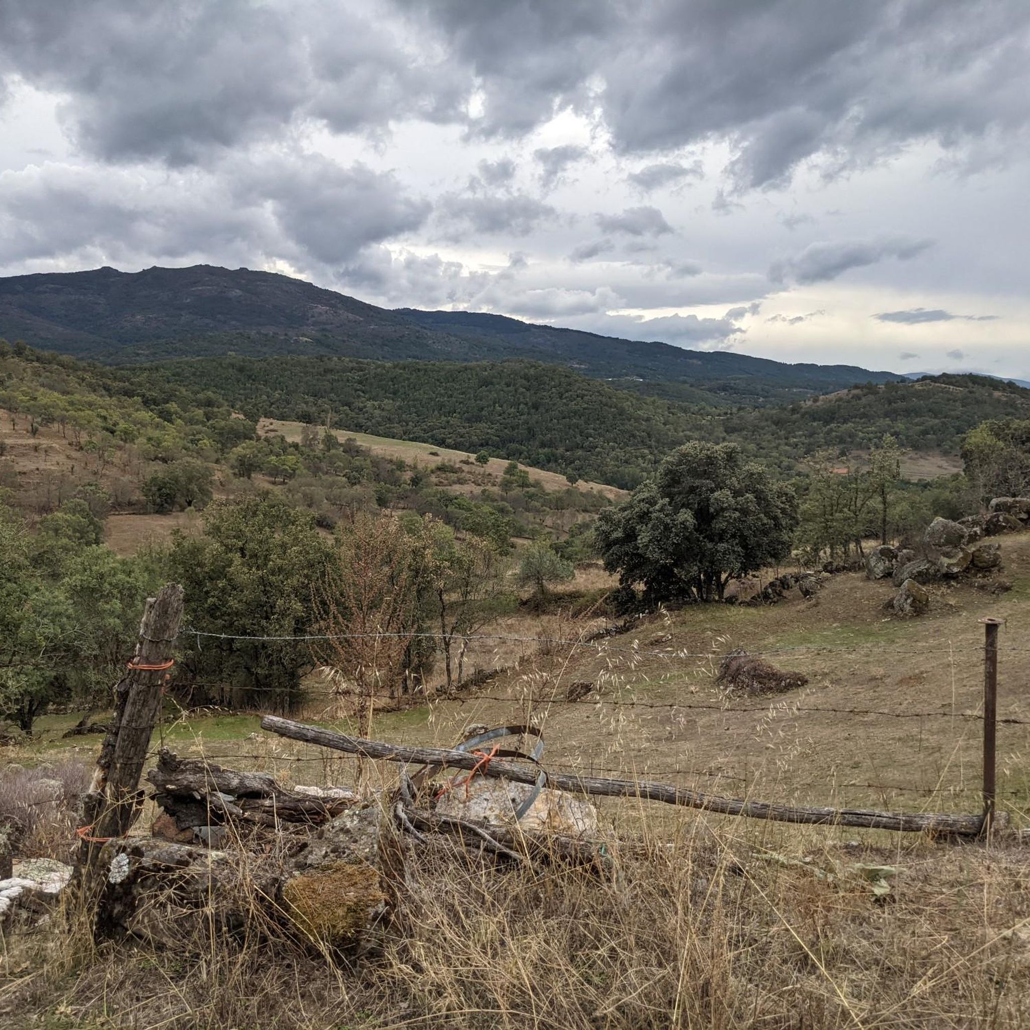

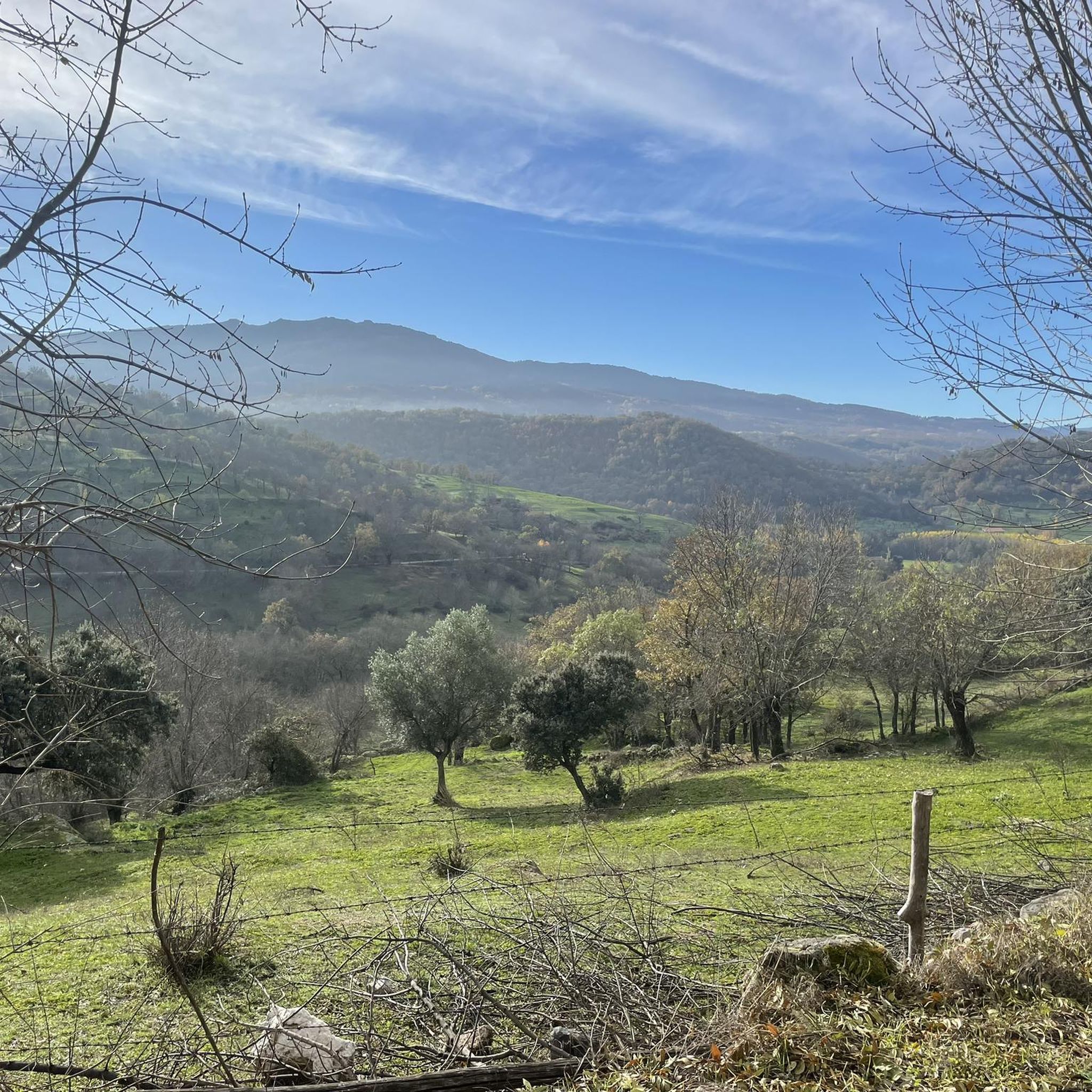

Tips from the Community

Hervás has beautiful architectural heritage such as the Davila palace, a parish church, the convent of the Trinitarian fathers etc. The largest collection of classic motorcycles in Europe!
15
0

What to see in Miranda del Castañar Medieval Walls: Over 600 meters remain intact, with four gates facing the cardinal directions: San Ginés, Nuestra Señora, La Villa, and El Postigo. Zúñiga Castle: A 15th-century fortress, symbol of the former County of Miranda. Although the interior is not open to the public, its exterior and keep are impressive. Square Bullring: Considered one of the oldest in Spain, built in the 16th century on the site of the former parade ground. Church of Santiago and San Ginés: Gothic in style (13th-16th centuries), with a detached 17th-century bell tower. Houses with Coats of Arms: More than 80 noble coats of arms adorn the facades, reflecting the town's aristocratic past.
8
0
Miranda del Castañar, one of the most beautiful villages in Spain, is located in the Sierra de Francia (Salamanca): Founded in 1213 by Alfonso IX of León as a town and council, it was the administrative capital of the Sierra de Francia. In the 15th century, the County of Miranda was created under the control of the Zúñiga family, consolidating its strategic importance.
9
0
The Soto Bridge, also known as the Roman Bridge of Sotoserrano, is a historic stone structure that spans the Alagón River in the Las Batuecas-Sierra de Francia Natural Park. It is located in the town of Sotoserrano, famous for being at the confluence of three rivers: the Alagón, the Francia, and the Cuerpo de Hombre. The bridge is one of the town's symbols and a key point on several hiking and cycling routes.
2
0
The Soto Bridge, also known as the Roman Bridge of Sotoserrano, is a historic stone structure that spans the Alagón River in the Las Batuecas-Sierra de Francia Natural Park. It is located in the town of Sotoserrano, famous for being at the confluence of three rivers: the Alagón, the Francia, and the Cuerpo de Hombre. The bridge is one of the town's symbols and a key point on several hiking and cycling routes.
1
0

17 kilometers of mountain pass (on both sides, Ambroz Valley from Hervás or Jerte Valley from Cabezuela del Valle). From Cabezuela del Valle, the first 12 kilometers average an average gradient of 7%, with some 10% gradients, and from the 12th kilometer onward, there are some rest stops with wonderful views. This side has a gradient of approximately 900 meters, up to 1,430 meters.
0
0

Beautiful port between the Ambroz Valley and the Jerte Valley with a constant slope of about 6%
0
0

The current bridge is not Roman, it does not preserve any of its characteristics, not even in the foundations. But it is without a doubt a beautiful and spectacular bridge in a very beautiful enclave.
1
0
Frequently Asked Questions
How many road cycling routes are available around Valdehijaderos?
There are over 80 road cycling routes around Valdehijaderos, offering a wide range of experiences. These include 2 easy routes, 36 moderate routes, and 46 difficult routes, catering to various skill levels.
What is the typical terrain like for road cycling in Valdehijaderos?
Road cycling in Valdehijaderos is characterized by challenging terrain within the Sierra de Béjar region. You'll encounter significant elevation gains through mountainous environments, alongside picturesque stretches through abundant meadows, fertile orchards, and vineyards. The area also features historic pathways like the Cañada Real Soriana Occidental.
When is the best time of year to go road cycling in Valdehijaderos?
Valdehijaderos experiences a continentalized Mediterranean climate. While winters are cold and dry with frost and snow, and summers are cool, the most favorable times for road cycling are typically spring and autumn. These seasons offer pleasant temperatures and the majority of rainfall, ensuring lush landscapes and varied seasonal beauty.
Are there any circular road cycling routes in the Valdehijaderos area?
Yes, many road cycling routes around Valdehijaderos are designed as loops. For example, you can explore the Climb to La Covatilla (CE pass) — circular from Béjar, a challenging 72.9 km route, or the extensive Puerto de Béjar – Honduras Pass loop from Béjar, covering 118.5 km.
What natural features or landmarks can I see while road cycling near Valdehijaderos?
The region offers several points of interest. You can encounter natural monuments like the Peña de la Cruz and Balanced Boulder or the Cedro de la Francesa. There are also scenic viewpoints such as the View of the Ambroz Valley and Reservoir and the Navamuño Reservoir Views, perfect for a break.
Are there any routes suitable for advanced road cyclists looking for a challenge?
Absolutely. Valdehijaderos is known for its demanding routes. The area is part of a 'linear route of high level' spanning 127.80 km with over 3,200 meters of accumulated elevation gain. Routes like the Puerto de Béjar – Honduras Pass loop from Béjar, at 118.5 km with significant climbs, are ideal for experienced cyclists seeking vigorous challenges.
What cultural or historical sites can be found in Valdehijaderos?
Within Valdehijaderos itself, you can explore the Church of San Juan Degollado, which houses a Visigothic baptismal font, the main square (Plaza Mayor), the recently restored Ermita de San Marcos, and a Roman bridge spanning the San Marcos stream. These offer interesting cultural stops during your cycling adventures.
Are there any moderate road cycling routes that offer varied landscapes?
Yes, routes like the Molinos de Pichón – Ascent to Puerto de Cristóbal loop from La Calzada de Béjar provide a moderate challenge. This 26.5 km trail leads through varied landscapes of meadows and agricultural fields, offering a diverse and enjoyable ride without extreme difficulty.
What do other road cyclists enjoy the most about road cycling in Valdehijaderos?
The area is highly rated by the komoot community, with an average score of 5.0 stars from 6 reviews. Road cyclists often praise the challenging mountainous terrain of the Sierra de Béjar, the diverse landscapes featuring meadows, orchards, and vineyards, and the rewarding climbs that define the region's routes.
Are there any routes that pass by significant viewpoints?
Yes, several routes offer stunning views. For instance, the Ventorro Pelayo Viewpoint – Ascent to Puerto de Cristóbal loop from Béjar is a difficult 64.7 km route that includes the Ventorro Pelayo Viewpoint, providing panoramic vistas of the surrounding Sierra de Béjar.
Can I find routes that are a bit shorter but still offer a good workout?
Certainly. The Molinos de Pichón – Ascent to Puerto de Cristóbal loop from La Calzada de Béjar is a moderate 26.5 km route that provides a good workout through varied landscapes, typically completed in about 1 hour and 16 minutes. It's a great option for a shorter, yet engaging ride.
What kind of natural environment can I expect to cycle through in Valdehijaderos?
You'll cycle through a rich natural environment within the Sierra de Béjar and Francia Biosphere Reserve. This includes abundant meadows, fertile orchards, and vineyards, especially along the banks of streams like the Arroyo de San Marcos. Cereal and carob fields also contribute to the diverse agricultural tapestry, all set against a backdrop of mountainous terrain.
Most popular routes around Valdehijaderos
Most popular attractions around Valdehijaderos

Get inspired with the komoot mobile app


Explore more
Browse the best Road cycling routes in other regions.
