The best MTB trails around Orejana
5.0
(10)
233
riders
44
rides
Mountain bike trails around Orejana traverse a landscape characterized by river valleys, natural parks, and mountain passes. The region features varied terrain, including sections along the Rio Castilla and Rio San Juan, and routes through the Parque Natural de la Sierra de Guadarrama Norte. Elevation changes are common, with some trails reaching significant heights, offering diverse challenges for mountain bikers.
Best mountain bike trails around Orejana
- The most popular mountain bike trail is Rio Castilla, Cañada Real Soriana Occidental and…
Last updated: June 28, 2026
11
riders
Moderate mountain bike ride. Good fitness required. Suitable for all skill levels.
32.1km
02:26
280m
280m
Moderate mountain bike ride. Good fitness required. Advanced riding skills necessary.

Sign up for free
5.0
(1)
37
riders
58.5km
05:05
880m
880m
Hard mountain bike ride. Very good fitness required. Advanced riding skills necessary.
5.0
(1)
35
riders
50.9km
04:49
970m
970m
Hard mountain bike ride. Very good fitness required. Suitable for all skill levels.
5.0
(1)
26
riders
53.9km
05:33
1,410m
1,410m
Hard mountain bike ride. Very good fitness required. Suitable for all skill levels.
Get access to more routes and recommendations from other explorers.
Sign up for free
Already have an account?
Our route recommendations are based on thousands of hikes, rides, and runs completed by other people on komoot.
Start today with a free account
Your next adventure awaits.
Login or Signup
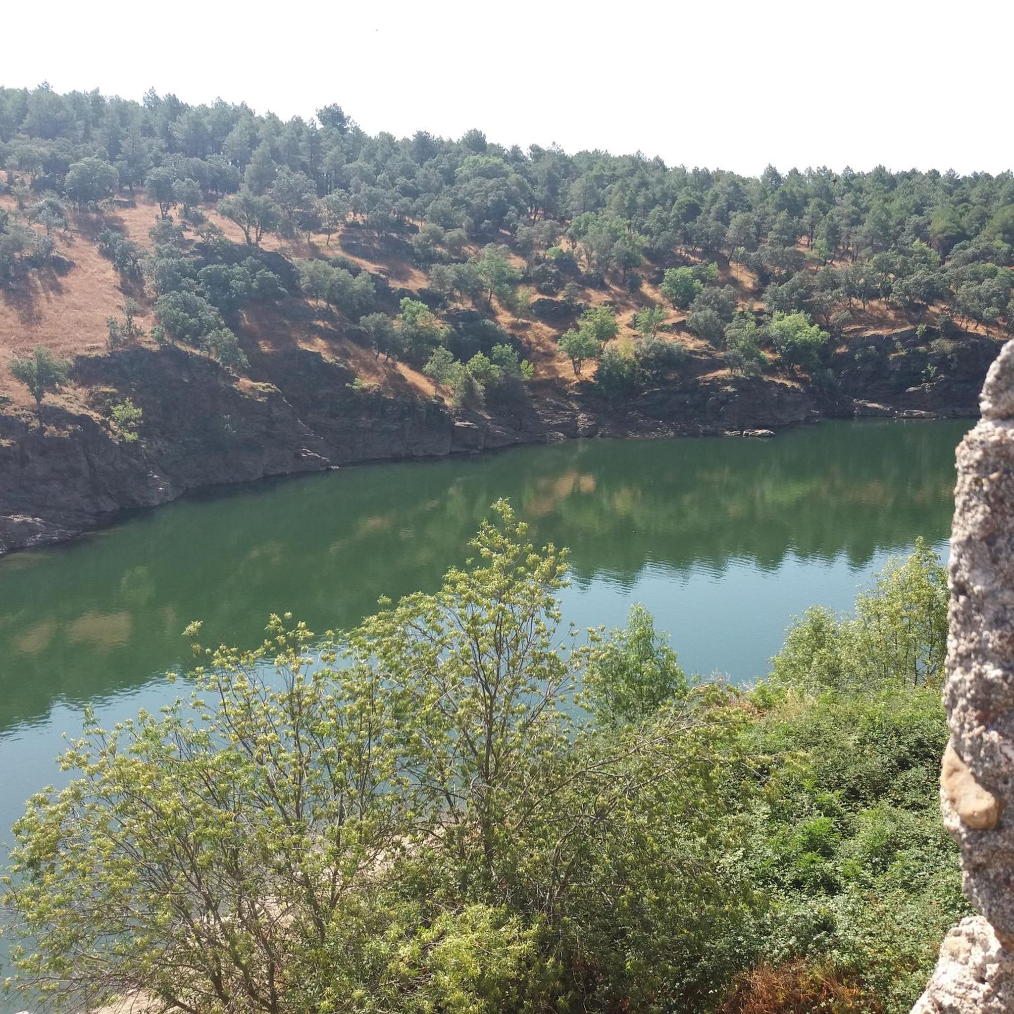
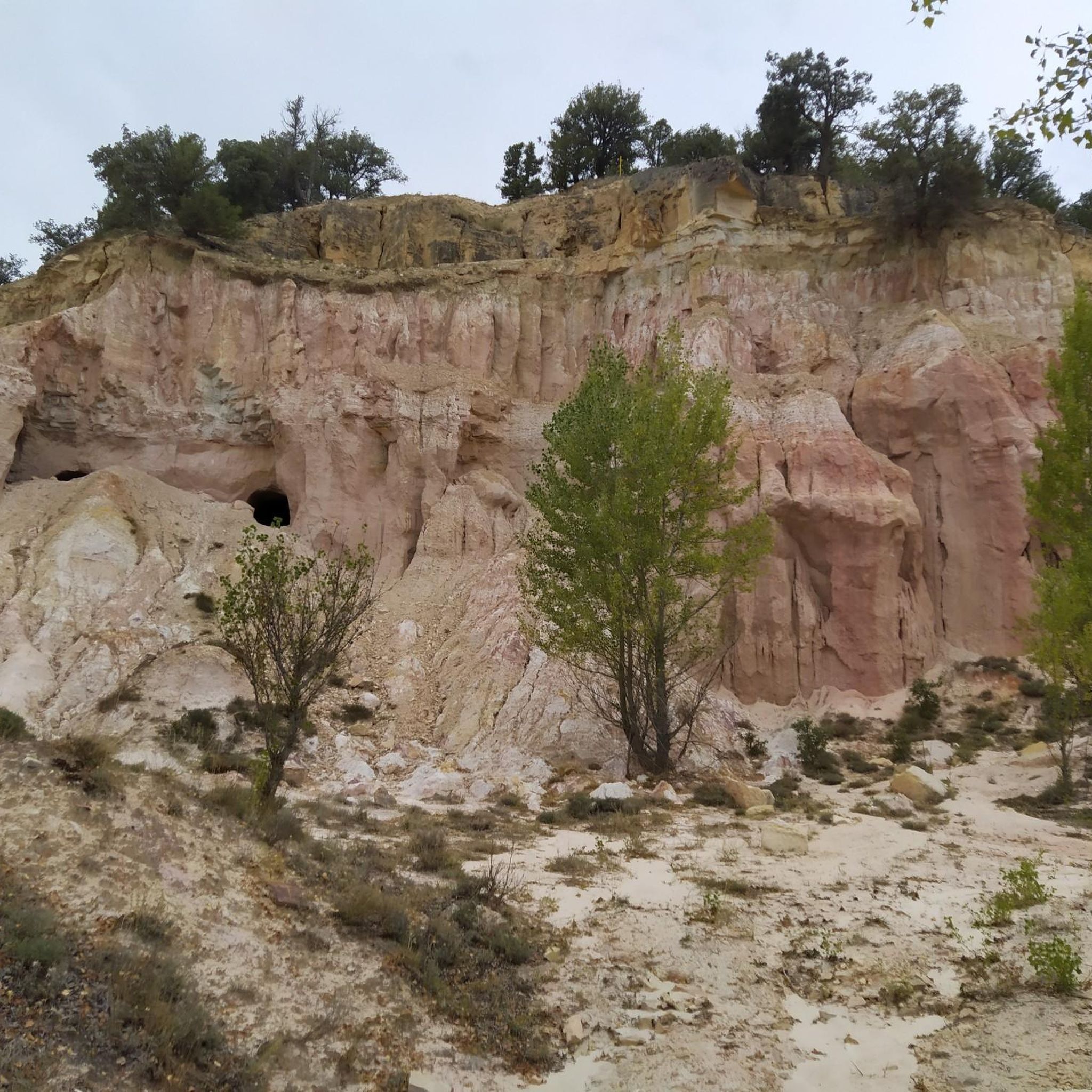
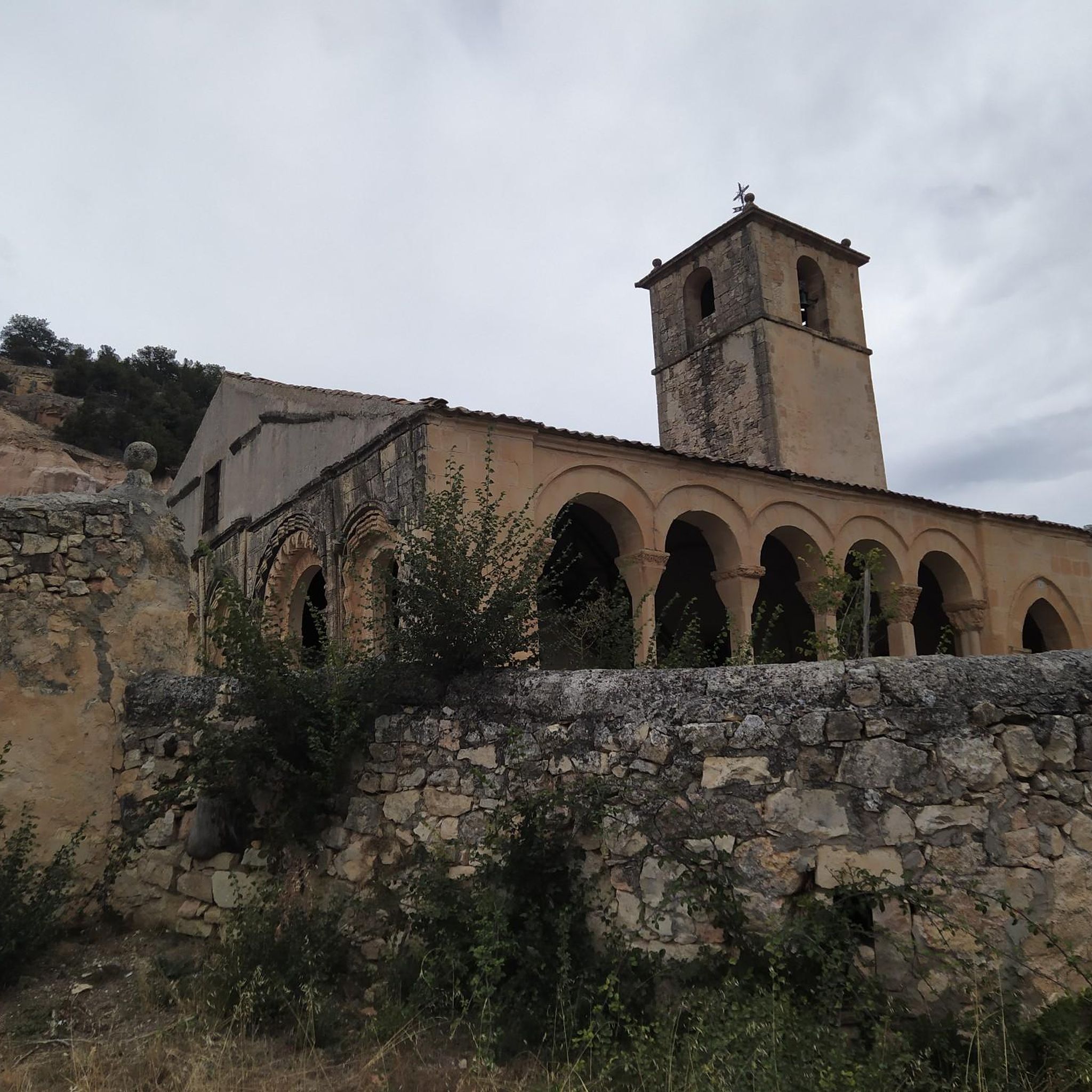

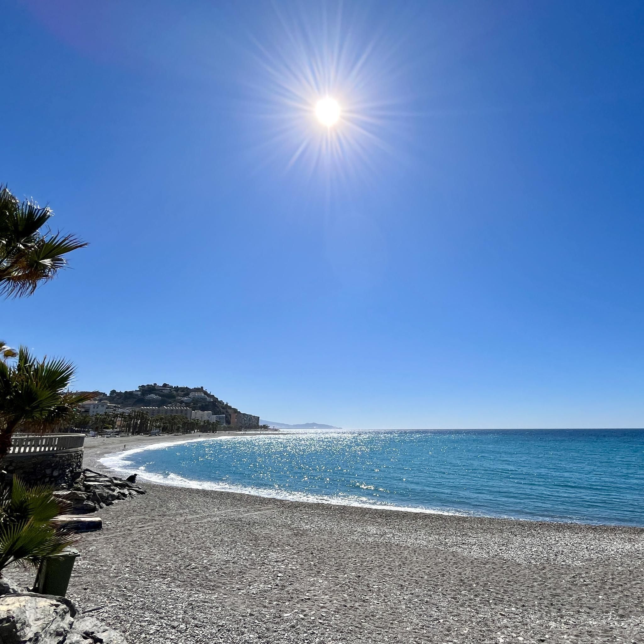
Tips from the Community

This section of the Cañada Real Soriana Occidental retains its pastoral character. Grass grows in the surroundings and cows graze at will; the views of the Sierra de Guadarrama complete a beautiful bucolic scene.
0
0

nice corner to enjoy the views
0
0

Segovia hillside, near Navafría, with beautiful landscapes.
0
0

Fire lookout tower on the slopes of Nevero. The climb here is quite tough.
0
0
Another port in Los Montes Carpetanos for the passage between the provinces of Madrid and Segovia.
0
0
The track that connects the ports of Somosierra (1,440 m) and Navafría (1,773 m) is popularly known as "La Horizontal", it is about 48 kilometers long and runs east-west on the Central System. On both sides of the track there are countless tracks that descend to the Madrid and Segovia valleys, so you can take infinite circular routes: Lozoya, Braojos, la Acebeda, Arcones, Prádena...
0
0
From Puerto Linera, at 1834m altitude, you can see part of the Lozoya Valley, the Cabrera mountain range, highlighting the Pico de la Miel, the Riosequillo reservoir, Buitrado and Villavieja. Behind us is the province of Segovia, where we can see, among others, the town of Matabuena. The name "linera" is perhaps due to the large amount of linen that was sold from the Buitrago region to the towns of Pedraza and surrounding areas. The port has a cairn of stones much larger than those that delimit the terms, since, according to tradition, it was customary to throw a stone every time you passed from one side to the other to make it more visible when there was snow, blizzards or fog. , and prevent passers-by from getting lost.
0
0
Frequently Asked Questions
How many mountain bike trails are available around Orejana?
There are over 35 mountain bike trails around Orejana, offering a variety of experiences for different skill levels.
What kind of terrain can I expect on mountain bike trails in Orejana?
Mountain bike trails around Orejana feature diverse terrain, including sections along the Rio Castilla and Rio San Juan, and routes through the Parque Natural de la Sierra de Guadarrama Norte. You'll encounter river valleys, natural park sections, and mountain passes, with elevation changes common across many routes.
What are the difficulty levels of mountain bike trails in Orejana?
The trails in Orejana cater to various skill levels. There is 1 easy route, 23 moderate routes, and 12 difficult routes, ensuring options for both casual riders and those seeking a challenge.
Are there any circular mountain bike routes in Orejana?
Yes, many routes in Orejana are circular. For example, the Rio Castilla, Cañada Real Soriana Occidental and Rio San Juan — circular from Castroserna de Abajo is a moderate 22.1-mile loop. Another option is the more challenging Navafría Pass – Puerto de Linera loop from Gallegos, covering 31.9 miles.
Are there family-friendly mountain bike trails in Orejana?
While most trails are moderate to difficult, there is 1 easy route available. For families, it's best to look for routes with minimal elevation gain and shorter distances. Always check the specific trail details on komoot to ensure it matches your family's skill level.
What can I see along the mountain bike trails in Orejana?
Along the trails, you can discover various points of interest. Notable attractions include the Puerto de Linera mountain pass, the scenic Horizontal Trail, and a charming Mill and Waterfall. You might also pass through the historic settlement of Pedraza or see the Church of Our Lady of the Vegas.
Are there any trails that offer significant viewpoints?
Many routes traverse mountain passes and natural park sections, which often provide expansive views of the surrounding landscape. The Puerto de Linera, for instance, is a mountain pass that offers scenic vistas.
What do other mountain bikers enjoy the most about mountain biking in Orejana?
The area is highly rated by the komoot community, with an average score of 5.0 stars from over 10 reviews. Mountain bikers often praise the varied terrain, from river paths to natural park sections, and the options available for different ability levels.
Are there any long-distance mountain bike routes for experienced riders?
Yes, experienced riders can find challenging long-distance routes. The San Pedro de Gaíllos – San Juan River loop is a difficult 36.3-mile trail, typically completed in about 5 hours. Another demanding option is the Navafría Pass – Puerto de Navafría loop from Gallegos, which spans 33.3 miles with significant elevation gain.
What is the longest mountain bike trail in Orejana?
The longest mountain bike trail listed is the San Pedro de Gaíllos – San Juan River loop from San Pedro de Gaíllos, which covers 36.3 miles (58.5 km) and features 881 meters of elevation gain.
Are there mountain bike trails that follow rivers?
Absolutely. The region is characterized by river valleys. The San Juan River Route is a prime example, following the San Juan River for 19.9 miles and offering a mix of riverside terrain.
Most popular attractions around Orejana

Get inspired with the komoot mobile app


Explore more
Browse the best MTB trails in other regions.
