The best walks and hikes around Castellserà
4.5
(46)
244
hikers
23
hikes
Hiking around Castellserà reveals a landscape characterized by gentle hills, agricultural plains, and notable water features like the Ivars and Vila-sana Pond. The region offers accessible terrain, making it suitable for various outdoor activities. Elevation gains are generally modest, with routes often traversing open countryside and local landmarks. This area provides a mix of easy and moderate hiking trails.
Best hiking trails around Castellserà
- The most popular hiking route is Ivars and Vila-sana Pond Loop, a 3.5 miles (5.7…
Last updated: July 2, 2026
4.6
(27)
188
hikers
5.67km
01:28
30m
30m
This easy 3.5-mile (5.7 km) circular hiking route around Estany d'Ivars i Vila-sana offers continuous lake views and excellent birdwatching.
5
hikers
5.78km
01:38
130m
130m
Easy hike. Great for any fitness level. Easily-accessible paths. Suitable for all skill levels.

Sign up for free
3
hikers
4.22km
01:08
50m
50m
Easy hike. Great for any fitness level. Easily-accessible paths. Suitable for all skill levels.
4.1
(8)
13
hikers
Moderate hike. Good fitness required. Easily-accessible paths. Suitable for all skill levels.
4.1
(7)
12
hikers
11.0km
02:50
50m
50m
Moderate hike. Good fitness required. Easily-accessible paths. Suitable for all skill levels.
Get access to more routes and recommendations from other explorers.
Sign up for free
Already have an account?
Our route recommendations are based on thousands of hikes, rides, and runs completed by other people on komoot.
Start today with a free account
Your next adventure awaits.
Login or Signup


Tips from the Community

Even in bad weather, you can take photos protected from the elements.
0
0

The murals in these towns are worth seeing and the best way to see these murals is by bicycle.
0
0

In the streets of the town of Ivars d'Urgell there are several murals painted representing species of birds and other animals that can be seen in the Estay d'Ivars and surrounding areas. Like the town of Penelles, it is worth a visit.
0
0

Video of the tour of the lake: https://youtu.be/_LsqvQN6xIg?si=WF9kh5BdDfIMXClv
0
0

The Ruins of San Vicente de Almenara are located in the municipality of Agramunt. This historic site is known for its remains of an ancient Romanesque church dating back to the 11th century. The ruins are located in a picturesque natural setting, ideal for hiking and mountain biking enthusiasts.
5
0
The Pilar de Almenara is a medieval defensive tower located at the top of the Sierra de Almenara, near Agramunt, in the Urgell region of Catalonia. This tower, dating from the 11th and 12th centuries, is 14 meters high and offers stunning panoramic views of the Urgell plain. The tower was used for surveillance and defense against Saracen raids and is similar to other Christian defensive towers in the region. From the top, on clear days, you can see as far as the Seu Vella de Lleida.
8
0
It is a nice place to stop, but you have to be careful when the weather is nice, it gets crowded.
0
0
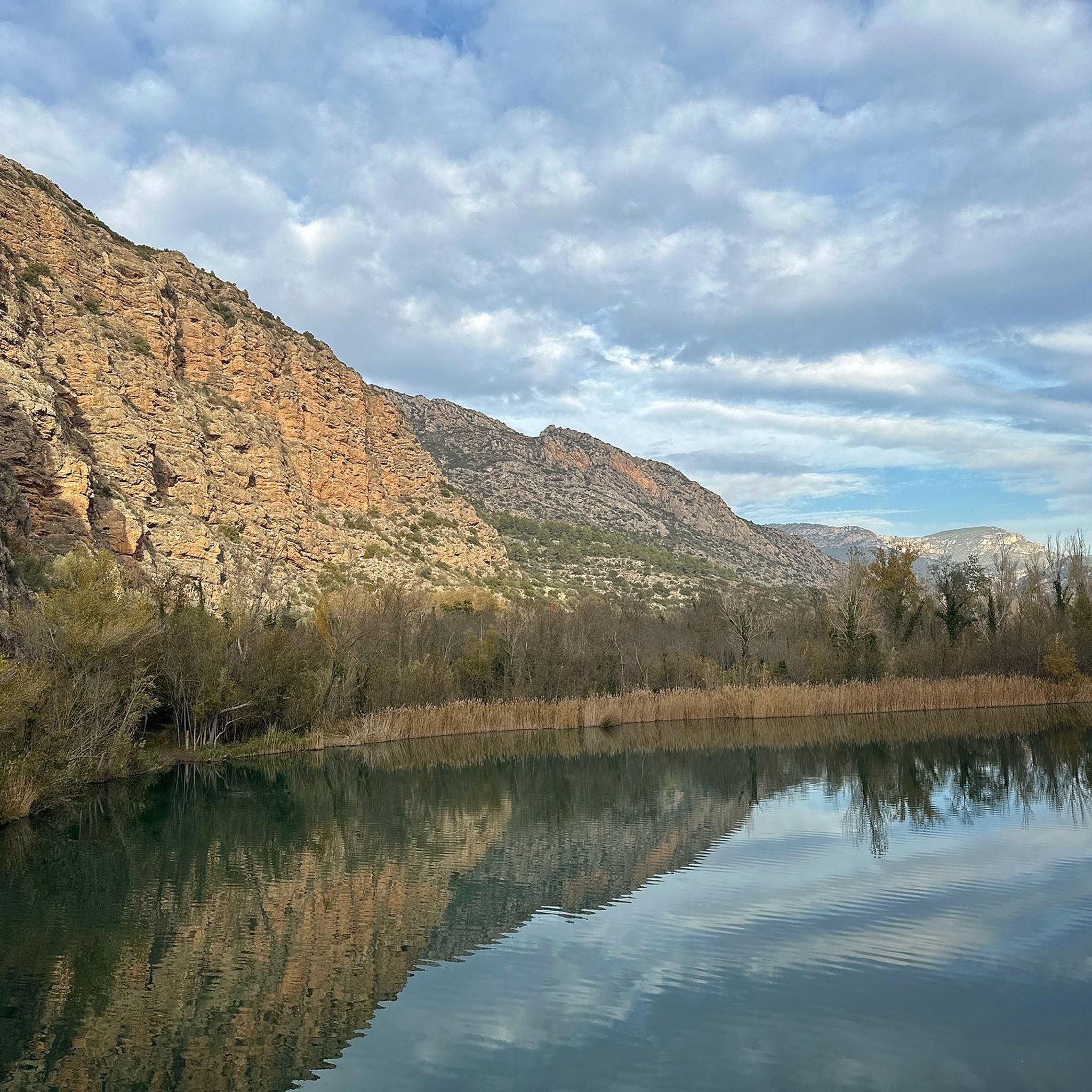
You cannot go through the area without going around the pond, the path that surrounds it is smooth, but you must go calmly. When it's good there are many people walking
0
0
Frequently Asked Questions
How many hiking trails are available around Castellserà?
There are over 20 hiking routes available around Castellserà, offering a variety of experiences for different skill levels. You'll find a balanced mix of easy and moderate trails.
What kind of landscape can I expect when hiking in Castellserà?
Hiking around Castellserà features gentle hills, expansive agricultural plains, and notable water features such as the Ivars and Vila-sana Pond. The terrain is generally accessible, providing a mix of natural beauty and historical points of interest.
Are there easy hiking trails suitable for beginners in Castellserà?
Yes, approximately half of the hiking routes in Castellserà are classified as easy, making them ideal for beginners or those looking for a relaxed walk. These trails typically have modest elevation gains and traverse open countryside.
What is the typical length of hiking routes in Castellserà?
The hiking routes in Castellserà vary in length, with many popular options ranging from 2.6 miles (4.2 km) to about 6.8 miles (11 km). For example, the Ivars and Vila-sana Pond Loop is 3.5 miles (5.7 km), while longer options like the Ivars and Vila-sana Pond loop from Aparcament Estany d'Ivars i Vilasana Oest extend to about 6.8 miles (10.9 km).
Are there family-friendly hiking options in Castellserà?
Yes, the region offers several family-friendly hikes. The accessible terrain and gentle hills make many routes suitable for all ages. The Trenches of the Bellmunt d'Urgell hills - Circular Route, for instance, is a shorter, easy path that can be enjoyed by families.
Are there circular hiking routes available in Castellserà?
Absolutely. Many of the popular trails in Castellserà are circular, allowing you to start and end at the same point. Examples include the Pilar de Almenara - Circular Route and the Trenches of the Bellmunt d'Urgell hills - Circular Route.
What are some interesting places to explore near the hiking trails in Castellserà?
Beyond the trails, you can explore several historical and natural landmarks. Consider visiting the Pilar de Almenara Tower, the Ruins of San Vicente de Almenara, or the tranquil Ivars and Vila-sana Pond. The Penelles Street Art Murals also offer a unique cultural experience nearby.
Do I need a permit to hike in the Castellserà area?
Generally, no special permits are required for hiking on the trails around Castellserà. The routes typically traverse public land and agricultural areas, making them freely accessible.
What do other hikers say about the trails in Castellserà?
The hiking trails in Castellserà are highly regarded by the komoot community, with an average rating of 4.6 stars from over 40 reviews. Hikers often praise the well-maintained paths, the peaceful agricultural landscapes, and the opportunity to explore historical sites.
Are dogs allowed on the hiking trails in Castellserà?
While specific regulations can vary, dogs are generally welcome on most hiking trails in rural areas around Castellserà, provided they are kept under control, especially when passing through agricultural land or near livestock. Always ensure to clean up after your pet.
What is the best time of year to go hiking in Castellserà?
Spring and autumn are generally the most pleasant seasons for hiking in Castellserà, offering mild temperatures and beautiful scenery. Summers can be hot, especially in the open agricultural plains, while winters are typically mild but can be damp.
Most popular routes around Castellserà
Most popular attractions around Castellserà

Get inspired with the komoot mobile app


Explore more
Browse the best Hikes in other regions.
