The best walks and hikes around Ciutadilla
4.5
(44)
251
hikers
57
hikes
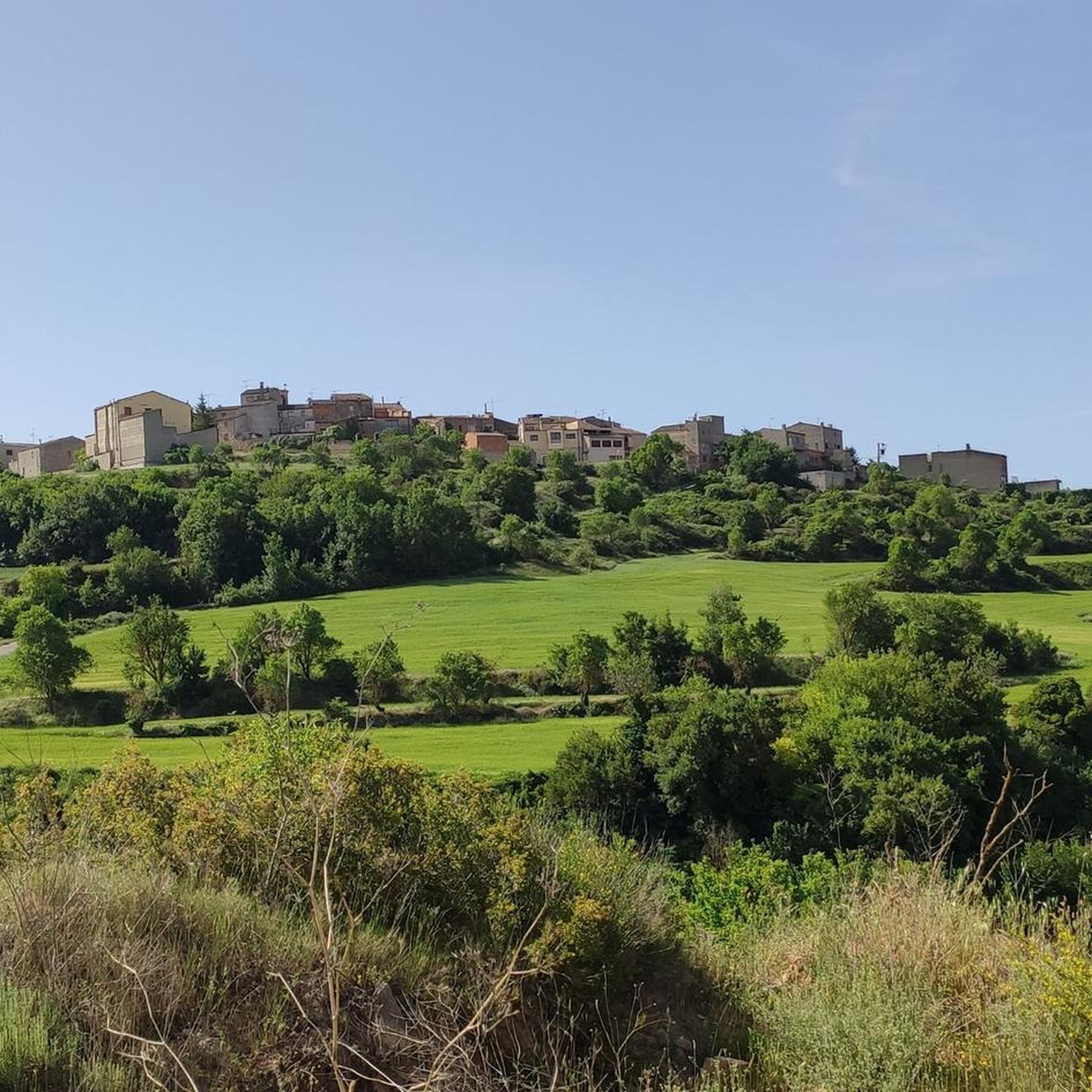
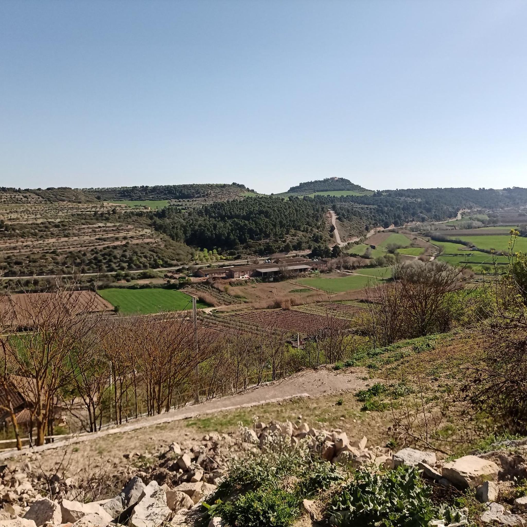
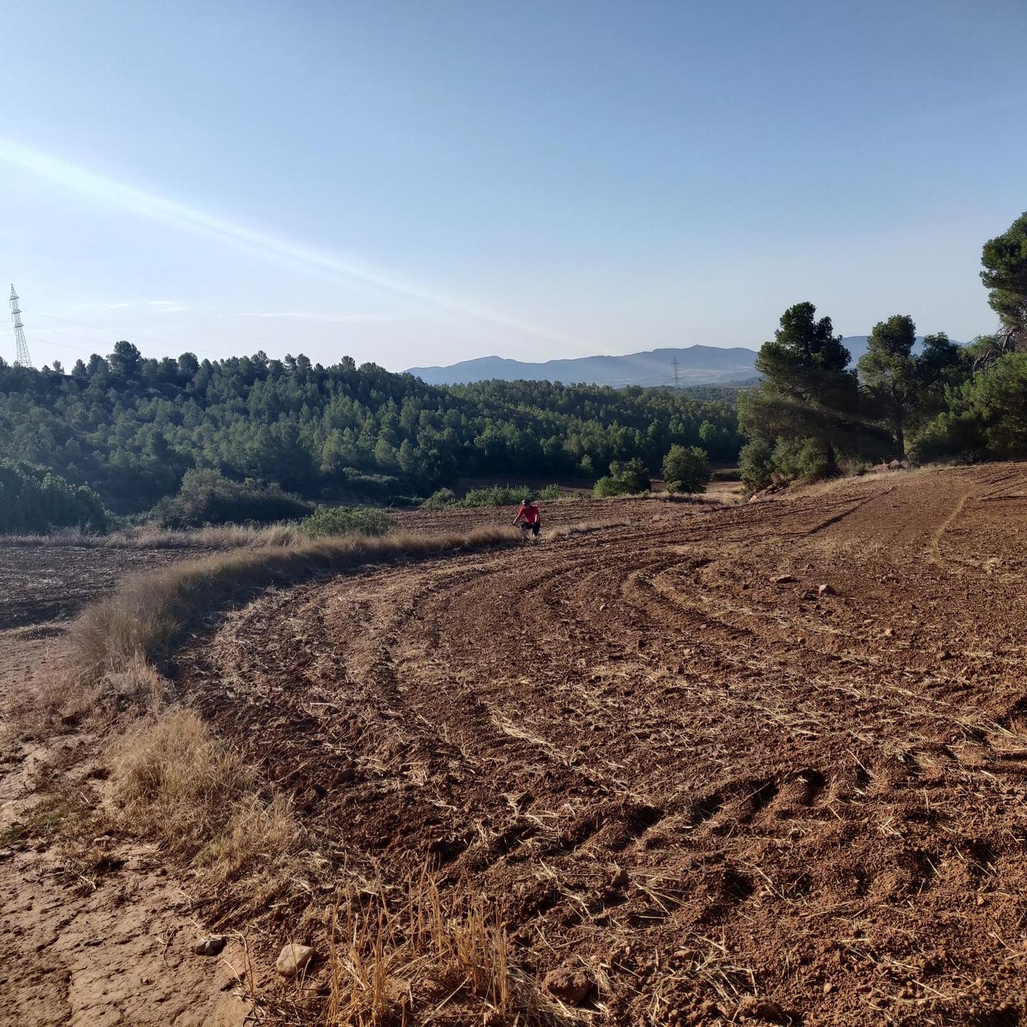
Hiking around Ciutadilla offers a variety of trails through its local landscape. The region features rolling hills and agricultural areas, providing a mix of open views and paths through cultivated land. Elevation changes are generally moderate, making many routes accessible for different fitness levels. The terrain is characterized by rural paths connecting small villages and points of interest.
Best hiking trails around Ciutadilla
- The most popular hiking route is Santuario del Tallat and Colina Grande de Vallbona — 100 summits…
Last updated: October 7, 2026
Moderate hike. Good fitness required. Easily-accessible paths. Suitable for all skill levels.
4.6
(7)
24
hikers
6.67km
01:55
160m
160m
Easy hike. Great for any fitness level. Easily-accessible paths. Suitable for all skill levels.

4.5
(2)
14
hikers
9.51km
02:43
230m
220m
Moderate hike. Good fitness required. Easily-accessible paths. Suitable for all skill levels.
5.0
(1)
11
hikers
10.5km
03:02
260m
260m
Moderate hike. Good fitness required. Easily-accessible paths. Suitable for all skill levels.
4.0
(3)
6
hikers
11.7km
03:16
220m
220m
Moderate hike. Good fitness required. Easily-accessible paths. Suitable for all skill levels.
Get access to more routes and recommendations from other explorers.
Already have an account?
Our route recommendations are based on thousands of hikes, rides, and runs completed by other people on komoot.
Start today with a free account
Your next adventure awaits.

Tips from the Community

Along with the monasteries of Poblet and Santes Creus, this is one of the three pearls of Gothic architecture in Catalonia. You won't be disappointed.
0
0


It is part of the different and numerous fountains of Guimerà, they were natural mineral water... But they are out of service.
0
0
Parking area 🅿️ Restaurant and starting point for the different routes in the area.
0
0
Currently undergoing interior restoration.
0
0

Beautiful medieval monastery from the Cistercian era, still inhabited by nuns.
0
0

The monastery of Santa María de Vallbona is a female Cistercian abbey founded in the 11th century and built in a mixture of Romanesque and Gothic styles. Together with the Poblet and Santes Creus monasteries, it forms the Cistercian Route.
0
0

Belonging to the district of Vallbona de les Monges, Montblanquet is a small town in the Sierra del Tallat, on the border between the counties of Conca de Barberà and El Urgell. Among its heritage stands out the church of Sant Andreu de Montblanquet, from the 13th century, with a single nave and Cistercian inspiration. The old washrooms, the communal oven and a couple of fountains are also preserved. In the Plaza Mayor there is a stamp for the Ruta del Cister (a cupboard inside which there is a stamp for the route).
1
0
Frequently Asked Questions
What kind of hiking trails can I expect around Ciutadilla?
Hiking around Ciutadilla features rural paths, rolling hills, and agricultural landscapes. The trails offer a mix of open views and routes through cultivated land, with generally moderate elevation changes, making them accessible for various fitness levels.
How many hiking routes are available in Ciutadilla?
There are over 40 hiking routes available around Ciutadilla. These include a variety of options, with 4 easy trails, 34 moderate trails, and 4 more challenging routes.
Are there any easy hiking trails suitable for beginners in Ciutadilla?
Yes, Ciutadilla offers several easy hiking trails. One popular option is the Hiking loop from Vallbona de les Monges, which is 6.5 km long with gentle gradients and takes approximately 1 hour 53 minutes to complete.
What are some popular moderate hiking routes in Ciutadilla?
Many of Ciutadilla's trails are moderate. A well-liked route is the Santuario del Tallat and Colina Grande de Vallbona — 100 summits of Catalonia, a 7 km trail with an ascent of 166 meters. Another option is the Santuario del Tallat – Montblanquet loop from Montblanquet, which is 9.5 km long.
What do other hikers say about the trails in Ciutadilla?
The hiking routes in Ciutadilla are highly rated by the komoot community, with an average score of 4.5 stars from over 26 reviews. Hikers often praise the varied rural terrain and the well-maintained paths.
Are there any circular walks around Ciutadilla?
Yes, Ciutadilla offers several circular walks. An example is the Hiking loop from Vallbona de les Monges, which provides a convenient way to explore the area and return to your starting point.
What historical or cultural attractions can I see near the hiking trails?
Near the hiking trails, you can explore several historical and cultural attractions. Notable sites include the Monastery of Santa María de Vallbona and the Santuario del Tallat. There are also several castles in the wider area, such as Verdú Castle and Guimerà Castle.
Are there any viewpoints along the hiking routes in Ciutadilla?
Yes, some routes offer scenic viewpoints. For example, the Views of Albió is a highlight that can be incorporated into your hike, offering expansive vistas of the surrounding landscape.
What is the longest moderate hike available in Ciutadilla?
One of the longer moderate hikes is the Montblanquet – Santuario del Tallat loop from Rocallaura, which spans 16.2 km and involves an ascent of 426 meters. This route typically takes around 4 hours 42 minutes to complete.
Can I find trails that connect different villages or points of interest?
Yes, the hiking network in Ciutadilla is characterized by rural paths that connect small villages and various points of interest, allowing you to explore the region's agricultural heartland and charming settlements.
What is the typical terrain like on Ciutadilla's hiking trails?
The terrain on Ciutadilla's hiking trails primarily consists of rural paths through rolling hills and agricultural areas. You'll encounter a mix of open fields and cultivated land, with surfaces generally suitable for walking.
Most popular routes around Ciutadilla
Most popular attractions around Ciutadilla

Get inspired with the komoot mobile app


Explore more
Browse the best Hikes in other regions.
