The best MTB trails around Cañaveral
5.0
(1)
80
riders
19
rides
Mountain biking around Cañaveral offers a diverse landscape for riders. The region features a mix of open dehesa, forested areas, and routes near water bodies like the Tajo Reservoir. Terrain varies from rolling hills to more challenging ascents, providing options for different skill levels. The area is characterized by its natural parks and rural paths, making it suitable for exploring on two wheels.
Best mountain bike trails around Cañaveral
- The most popular mountain bike trail is Route Legends BTT-short -…
Last updated: October 11, 2026
2
riders
26.1km
02:29
560m
560m
Moderate mountain bike ride. Good fitness required. Suitable for all skill levels.
Moderate mountain bike ride. Good fitness required. Advanced riding skills necessary.

21
riders
Moderate mountain bike ride. Good fitness required. Advanced riding skills necessary.
4
riders
Moderate mountain bike ride. Good fitness required. Advanced riding skills necessary.
7
riders
16.7km
01:36
320m
320m
Moderate mountain bike ride. Good fitness required. Advanced riding skills necessary.
Get access to more routes and recommendations from other explorers.
Already have an account?
Our route recommendations are based on thousands of hikes, rides, and runs completed by other people on komoot.
Start today with a free account
Your next adventure awaits.


Tips from the Community

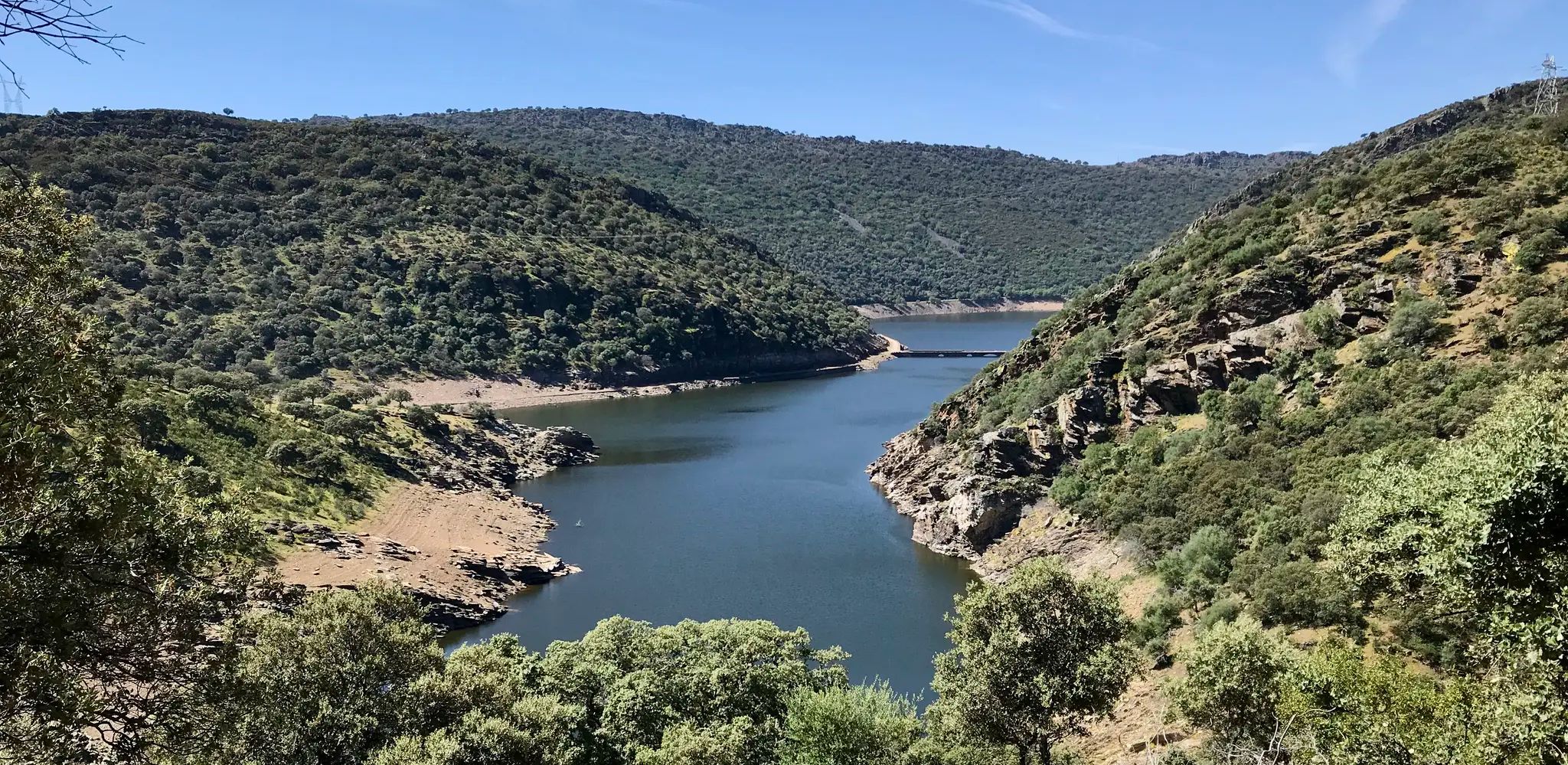
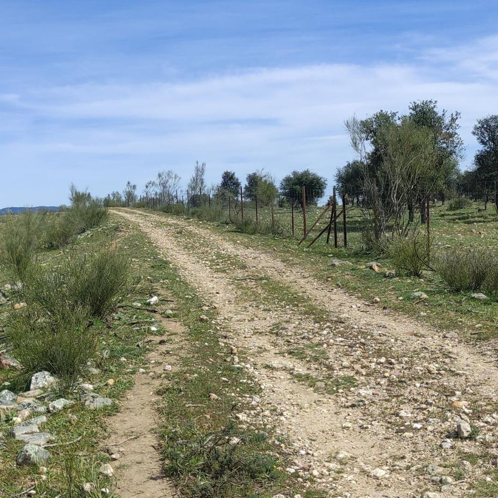
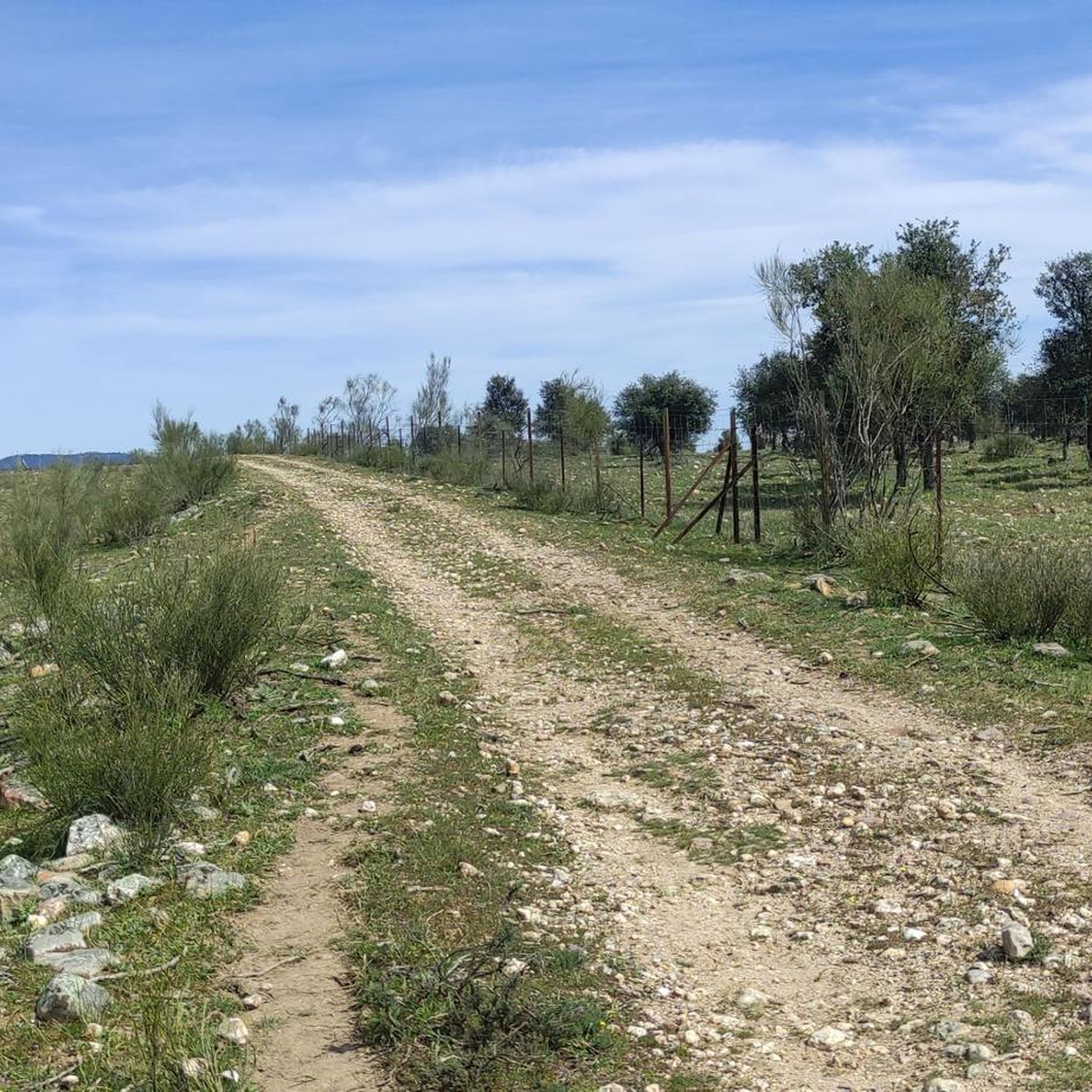
This section of the western Royal Road of Soria runs along the top of hills that reveal the beautiful surrounding landscape. The view is lost among mountain ridges and groves.
0
0

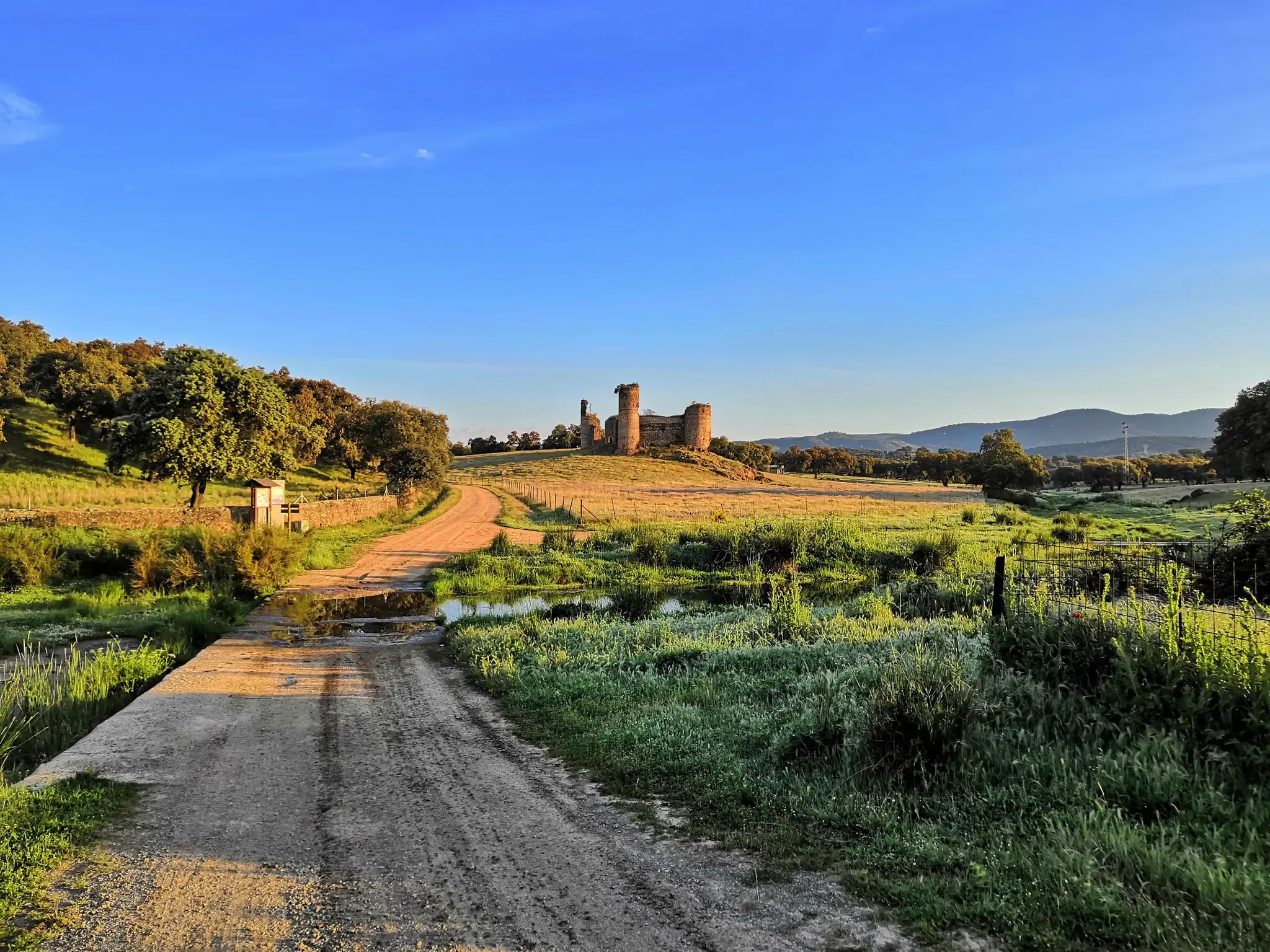
For decades it lay forgotten, becoming a remote ruin visited by few. Recently, however, Mirabel Castle (or what remains of it) has become one of the attractions in this part of the Monfragüe Biosphere Reserve. Located on a hilltop in the mountains, the castle's imposing defensive structure offers magnificent views of the Tagus River stretching out below.
12
0
For decades, it fell into oblivion, becoming a remote ruin visited by few. However, recently, Mirabel Castle (or what remains of it) has become one of the attractions in this area of the Monfragüe Biosphere Reserve. Situated on a hill in the mountains, the castle's imposing defensive fortress offers stunning views of the Tagus River stretching out below.
13
0

Located in the center of three streams. There is sales documentation from the year 1840: “...at named site of the mills, which is the highest, and borders on all sides with lands of this town...”, of the 3 mills in the town, this was the one at the highest altitude (470 meters above sea level). The sale was to Francisco Galindo and his wife Josefa Mateos, residents of Pedroso, for 7,000 reales of fleece. Reforms are known in 1934 and 1969.
0
0

Cañaveral is a Spanish town and municipality, located in the province of Cáceres, in the autonomous community of Extremadura. Administratively, it is part of the judicial district of Cáceres and the community of Riberos del Tajo. It is located in the center of the province, north of the Tagus River, near a chain of mountain ranges that extend from the Monfragüe National Park.
2
0

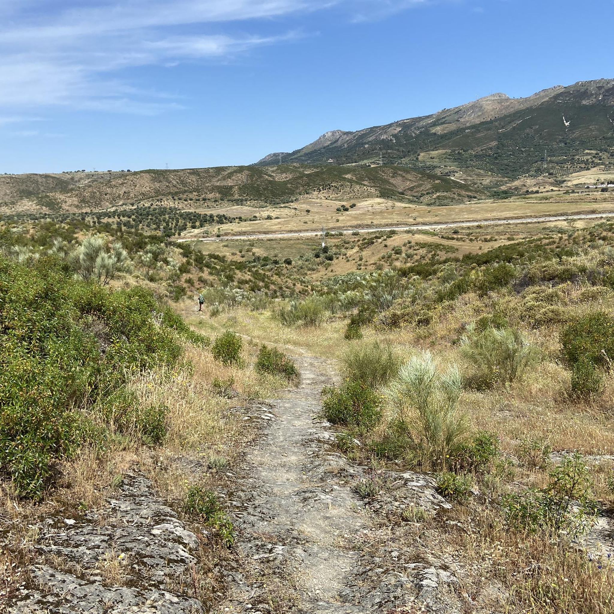
Crossing of Puerto de Castaño and crossing of the modern road between Cáceres and Plasencia with the old Roman road and the Vía de la Plata pilgrim path.
2
0
Built on an imposing rock outcrop that dominates the trade route, the defensive Mirabel Castle is located in an incredible location. You will be able to see the sanitary cattle from the road while you walk the roads that surround the Monfragüe Biosphere Reserve.
3
0

The GR-113 runs through this pretty little town to the north of the Tagus River. The medieval temple of Santa Marina is an interesting place to visit during your stay.
1
0
Frequently Asked Questions
How many mountain bike trails are available around Cañaveral?
There are 15 mountain bike trails available around Cañaveral, offering a range of experiences from easy rides to more challenging moderate routes.
Are there any easy mountain bike trails suitable for beginners in Cañaveral?
Yes, there are 2 easy mountain bike trails around Cañaveral. A good option for beginners is the Puente de Alconétar – Tajo Reservoir loop from Cañaveral, which is 15.6 miles (25.1 km) long and takes about 2 hours to complete.
What kind of terrain can I expect on mountain bike trails in Cañaveral?
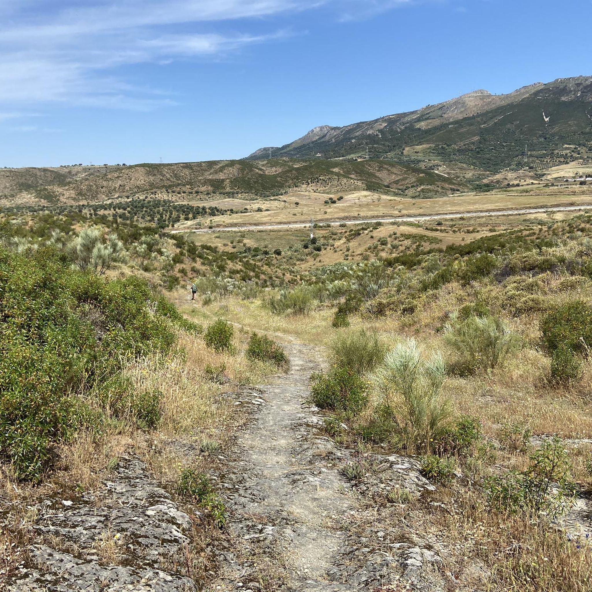
The terrain around Cañaveral is diverse, featuring a mix of open dehesa, forested areas, and routes near water bodies like the Tajo Reservoir. You'll encounter rolling hills and some challenging ascents, providing varied riding experiences.
Are there any circular mountain bike routes in the Cañaveral area?
Yes, many of the trails are circular. For example, the popular Route Legends BTT-short - circular from Casas de Millán is a 16.2 miles (26.1 km) loop, and the Cuatro Lobos, Parque Nacional de Monfragüe – circular desde Casas de Millán offers a longer 32.1 miles (51.6 km) circular path.
What are some of the more challenging mountain bike routes for advanced riders?
While there are no trails explicitly rated as 'difficult', many of the moderate routes offer significant challenges. The Cuatro Lobos, Parque Nacional de Monfragüe – circular desde Casas de Millán, for instance, has a notable elevation gain of over 700 meters, making it a demanding ride for experienced cyclists.
What can I see along the mountain bike trails around Cañaveral?
Many trails offer scenic views and pass by interesting landmarks. You can encounter historical sites like the Floripes Tower or the Castillo de Portezuelo. Some routes also feature impressive structures such as the Bridge Over the Tagus Reservoir and the San Benito Gothic Bridge.
Are there any viewpoints along the mountain bike trails in Cañaveral?
Given the region's varied landscape, including natural parkland and reservoir views, many trails offer scenic vistas. Routes exploring the Monfragüe National Park, such as the Cuatro Lobos, Parque Nacional de Monfragüe – circular desde Casas de Millán, are particularly known for their panoramic views.
What is the best time of year for mountain biking in Cañaveral?
The region experiences hot summers, so spring and autumn are generally the most pleasant seasons for mountain biking, offering milder temperatures. Winter can also be suitable, though some trails might be affected by rain.
What do other mountain bikers enjoy most about the trails in Cañaveral?
Mountain bikers frequently praise the diverse landscape, which includes natural parkland, reservoir views, and dehesa trails. The variety of routes caters to different skill levels, and the area's natural beauty provides a rewarding experience.
Are there any hidden gem mountain bike trails in the area?
While popularity varies, the Huerta de Roma Shelter – Dehesa Trail to Galisteo loop from Pedroso de Acim is a less-trafficked route that takes you through rural landscapes and dehesa, offering a more secluded experience away from the most popular paths.
Are there mountain bike trails near Cañaveral that pass by cafes or places to stop for refreshments?
While specific cafes directly on remote trails are uncommon, many routes start or pass near villages where you can find refreshments. It's advisable to check the route details on komoot for points of interest or towns along your chosen path.
What should I wear for mountain biking in Cañaveral?
Given the varied terrain and potential for sun exposure, it's recommended to wear appropriate cycling gear, including a helmet, padded shorts, and layers that can be adjusted to changing temperatures. Sunscreen and plenty of water are also essential, especially during warmer months.
Most popular attractions around Cañaveral

Get inspired with the komoot mobile app


Explore more
Browse the best MTB trails in other regions.
