The best walks and hikes around Norra Björkfjärden
4.5
(34)
181
hikers
13
hikes
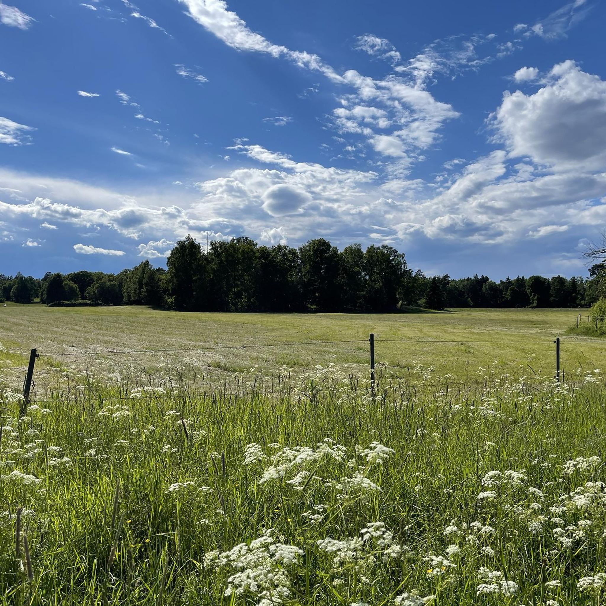
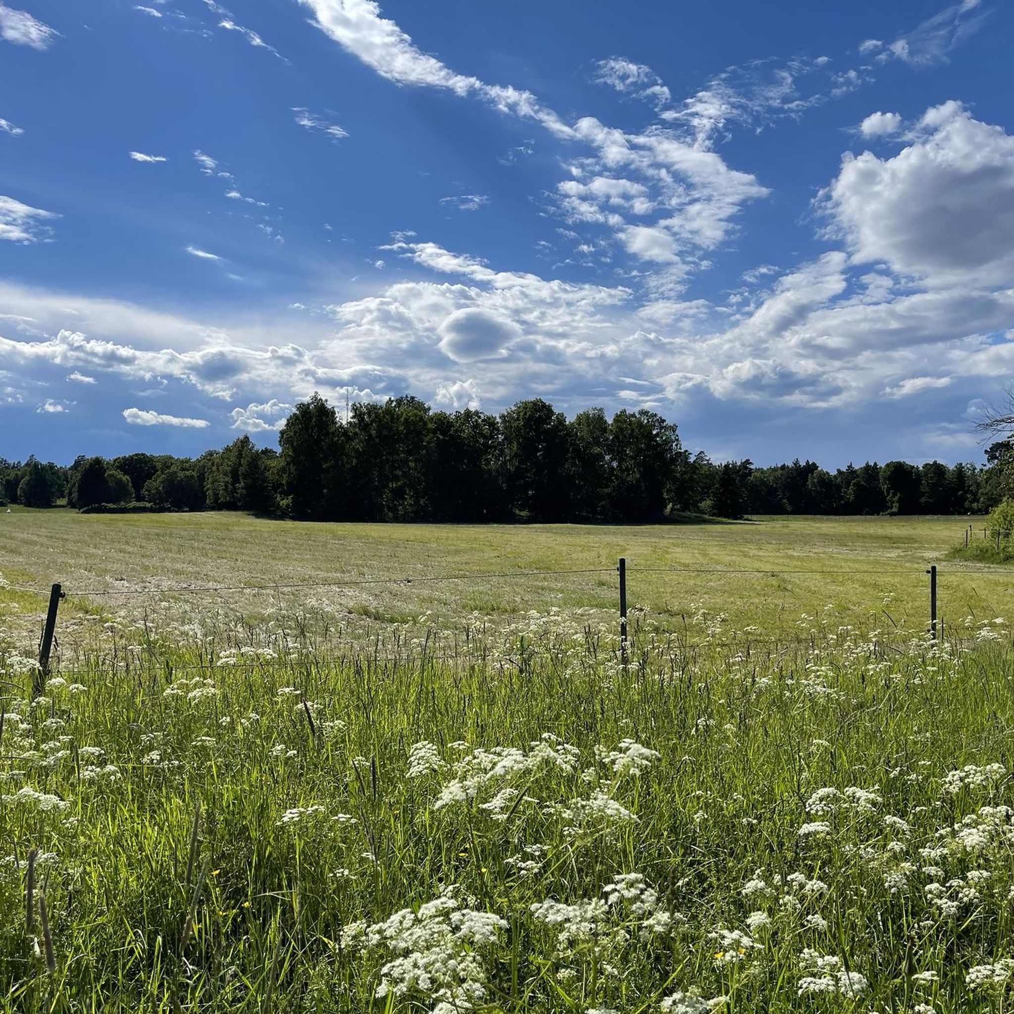
Hiking around Norra Björkfjärden offers diverse landscapes across its 18 green islands, situated in the deepest part of Lake Mälaren. The region features a mix of lush deciduous forests and dry, rocky areas with oak and pine trees. Hikers can explore sandy beaches and smooth rock slabs, while the mild Mälaren climate supports varied plant and animal life. The Uppsalaåsen esker forms a chain of islands in the eastern part of the reserve.
Best hiking trails around Norra Björkfjärden
- The…
Last updated: October 13, 2026
4.37km
01:08
30m
30m
Easy hike. Great for any fitness level. Easily-accessible paths. Suitable for all skill levels.
3.8
(4)
12
hikers
10.2km
02:40
70m
70m
Moderate hike. Good fitness required. Easily-accessible paths. Suitable for all skill levels.

5.0
(1)
4
hikers
Moderate hike. Good fitness required. Easily-accessible paths. Suitable for all skill levels.
4.5
(2)
5
hikers
Moderate hike. Good fitness required. Easily-accessible paths. Suitable for all skill levels.
5.0
(1)
4
hikers
6.45km
01:41
40m
50m
Easy hike. Great for any fitness level. Easily-accessible paths. Suitable for all skill levels.
Get access to more routes and recommendations from other explorers.
Already have an account?
Our route recommendations are based on thousands of hikes, rides, and runs completed by other people on komoot.
Start today with a free account
Your next adventure awaits.
Popular around Norra Björkfjärden

Tips from the Community

At the very tip of this peninsula, you pass by a small hut before the best viewpoint you could imagine.
0
0

Wonderful panoramic view from the tower 😍, if you are afraid of heights the ascent and descent may be a challenge 😉
1
0
A wonderful place for a picnic 🌭🥙🥗
2
0

Byviken, a small bay near Sättra. There is a boat dock and a swimming area. Benches for picnicking are available. To the south lies the Adelsö-Sättra Nature Reserve.
3
0
A sturdy observation tower on Kunstaberget, the highest point of Adelsö (53.2 metres above sea level), offering excellent views over Adelsö and located about four kilometres along the Adelsö hiking trail.
3
0

There is a windshelter, tables and benches, and fireplace, with a nice view on the lake.
0
0


Old burial field with a labyrinth and procession road.
0
0
Frequently Asked Questions
How many hiking trails are available in Norra Björkfjärden?
There are 10 hiking trails available in the Norra Björkfjärden area, offering a range of experiences from easy strolls to moderate excursions.
What kind of terrain can I expect on the hiking trails in Norra Björkfjärden?
Hikers in Norra Björkfjärden can expect a varied landscape. The trails wind through diverse forests, including lush deciduous areas and dry, rocky sections with sturdy oak and gnarled pine trees. You'll also encounter beautiful sandy beaches and smooth rock slabs, particularly on islands like Västra Högholmen.
Are there any easy hiking routes suitable for beginners or families?
Yes, Norra Björkfjärden offers several easy routes. For instance, the Härjarö loop from Härjarö is an easy 6.5 km trail that is well-suited for a relaxed walk. In total, there are 3 easy routes available in the area.
What do other hikers enjoy most about the trails in Norra Björkfjärden?
The trails in Norra Björkfjärden are highly rated by the komoot community, with an average score of 4.7 stars from over 20 reviews. Hikers often praise the diverse forests, the serene island environment, and the opportunity to discover secluded spots and picturesque beaches.
Are there any circular hiking routes in Norra Björkfjärden?
Yes, many of the trails in Norra Björkfjärden are designed as loops. For example, the Byviken Bay at Sättra – Kunstaberget Observation Tower loop from Lilla Stenby is a popular moderate circular path offering scenic views.
What natural features or landmarks can I see while hiking in Norra Björkfjärden?
Norra Björkfjärden is rich in natural features. You can explore the Uppsalaåsen esker, which forms a chain of islands in the eastern part of the reserve. The area also boasts diverse forests, sandy beaches, and smooth rock slabs. Keep an eye out for rich birdlife, including ospreys and tufted ducks, especially during non-breeding seasons.
Is Norra Björkfjärden suitable for dog-friendly hiking?
While the region offers beautiful natural spaces, specific regulations regarding dogs in nature reserves can vary. It's generally advisable to keep dogs on a leash to protect wildlife, especially during nesting seasons. Always check local signage for any specific restrictions within the Norra Björkfjärden nature reserve.
When is the best time of year to go hiking in Norra Björkfjärden?
The mild climate of Lake Mälaren makes Norra Björkfjärden enjoyable for hiking from spring through autumn. Spring brings lush greenery and active birdlife, while summer offers pleasant temperatures for exploring beaches. Autumn showcases beautiful fall foliage. Some small islands may have access restrictions during bird breeding season.
Are there any longer or more challenging routes for experienced hikers?
While there are no routes classified as 'difficult' in the immediate area, several moderate trails offer longer distances. The Lastberget loop from Härjarö is a moderate 8.1 km route that provides a good workout and takes you through varied terrain.
Are there any historical traces or points of interest along the trails?
Yes, the islands hold historical traces. You might discover older house ruins on islands like Torpholmen and Tvigölingen, as well as overgrown pastures, which hint at the past human presence and agricultural history of these serene islands.
Is there public transport available to reach the hiking areas in Norra Björkfjärden?
Access to the Norra Björkfjärden islands is primarily by boat, as it is an archipelago. For trails on the mainland surrounding the lake, public transport options may exist to nearby towns or starting points, but direct access to island trails typically requires private or ferry services. It's recommended to check local transport schedules for specific mainland access points.
Where can I find parking for hiking trails around Norra Björkfjärden?
For trails accessible from the mainland, such as those near Härjarö, designated parking areas are usually available at trailheads or nearby nature reserves. Specific parking information for each starting point should be checked locally or on detailed maps before your visit.
Most popular routes around Norra Björkfjärden

Get inspired with the komoot mobile app


Explore more
Browse the best Hikes in other regions.
