The best walks and hikes around Fuencaliente
4.7
(31)
171
hikers
10
hikes
Hiking around Fuencaliente reveals a landscape characterized by rolling hills, dense Mediterranean forests, and river valleys. The terrain often features limestone formations and rocky outcrops, providing varied natural environments for exploration. Trails frequently traverse through areas of rich biodiversity, offering views of the surrounding Sierra Madrona mountains. This diverse environment provides a range of hiking experiences for different skill levels.
Best hiking trails around Fuencaliente
- The most popular hiking route is Las Lastras and La Batanera Trail, a 6.4…
Last updated: October 10, 2026
4.4
(8)
33
hikers
10.4km
03:02
290m
290m
Moderate hike. Good fitness required. Easily-accessible paths. Suitable for all skill levels.
2
hikers
24.1km
06:59
640m
640m
Hard hike. Very good fitness required. Easily-accessible paths. Suitable for all skill levels.

4.5
(8)
35
hikers
Moderate hike. Good fitness required. Easily-accessible paths. Suitable for all skill levels.
4.3
(3)
24
hikers
Hard hike. Very good fitness required. Easily-accessible paths. Suitable for all skill levels.
5.0
(2)
13
hikers
5.04km
01:28
140m
140m
Easy hike. Great for any fitness level. Easily-accessible paths. Suitable for all skill levels.
Get access to more routes and recommendations from other explorers.
Already have an account?
Our route recommendations are based on thousands of hikes, rides, and runs completed by other people on komoot.
Start today with a free account
Your next adventure awaits.
Tips from the Community

It is not actually an oak, it is a hybrid between a gall oak and a holm oak, with more than 500 years of life.
0
0

The Batanera Waterfall and Shelter is located in the Alcudia Valley and Sierra Madrona Natural Park. Route 10.- LAS LASTRAS- LA BATANERA
16
0

Nucleus that is integrated in the Valle de Alcudia and is located in one of the most important mountain ranges in this area, the Sierra Madrona. It is a kernel that offers a large number of options for running.
0
1
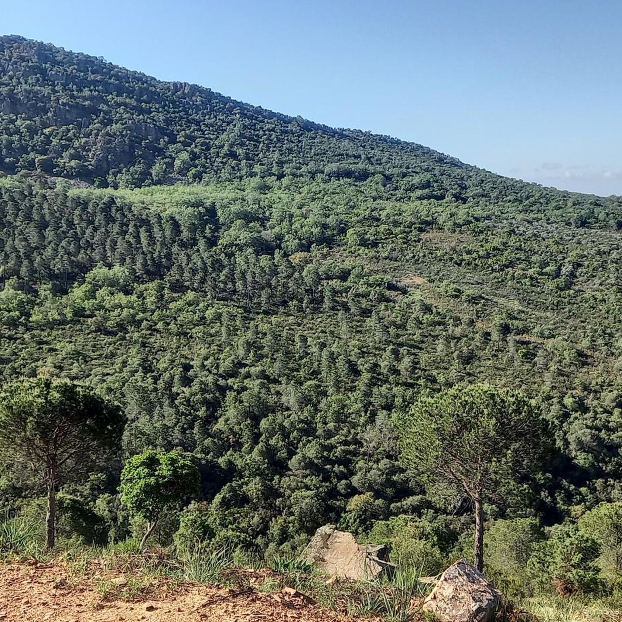
The Sierra de Navalmanzano is today a protected massif and is located just below the Sierra Madrona, which is much better known and longer.
0
1
The Sierra Madrona has this, spaces like the Cascada de la Batanera, a river that forms a waterfall full of life and charm, ideal for passing by and cooling off!
2
0
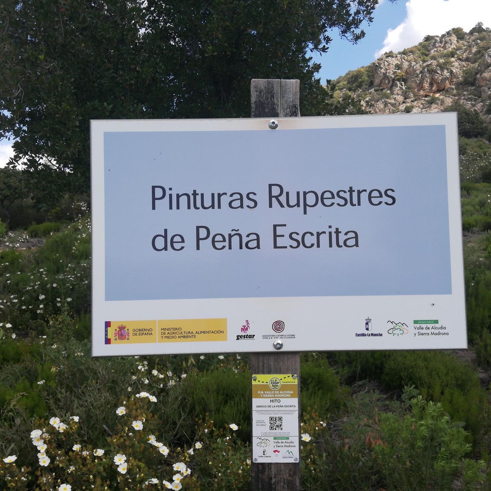
Area where stones appear in the background and where there are a group of rock paintings that show us how old these areas are, already inhabited since time immemorial.
0
1
The Sierra de Navalmanzano is a massif today preserved in this border area between Ciudad Real and Jaén.
0
0
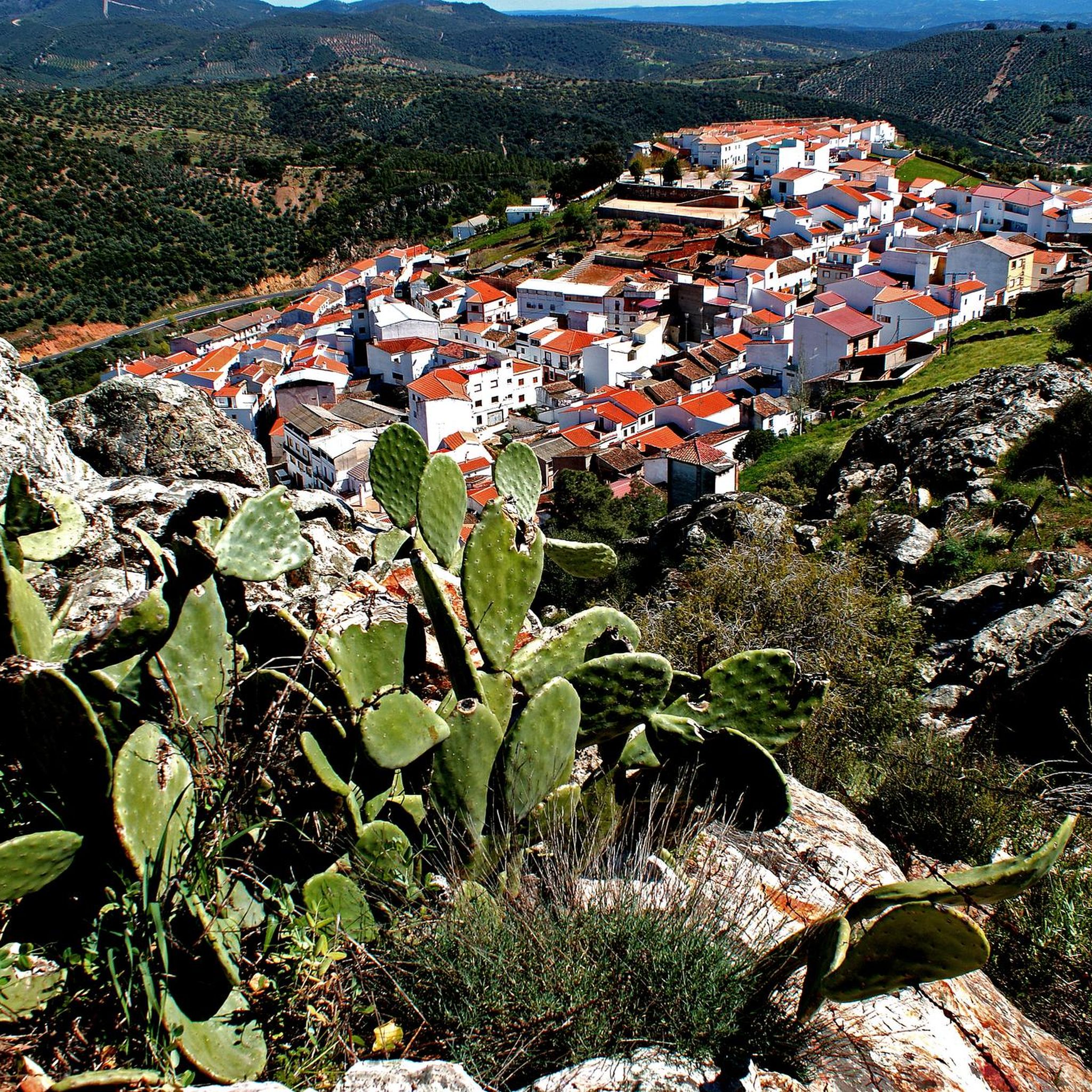
Very close to the border with Andalusia, in Sierra Morena, and within the Valle de Alcudia and Sierra Madrona Natural Park, is the municipality of Fuencaliente. It is famous for housing the cave paintings of Peñaescrito and La Batanera, declared a National Monument. It also owes its name to the thermal water spring that rises under the church of the Virgen de Baños, and that in its day attracted many pilgrims called by the healing power of its waters. This spring was declared a public utility asset in 1869 and continues to be a source of vitality. If we add to all this its unique urban ensemble, we find ourselves before a town worthy of the most beautiful tourist postcard.
43
0
Frequently Asked Questions
How many hiking trails are available in Fuencaliente?
Fuencaliente offers a diverse network of over 10 hiking trails, catering to various skill levels. You'll find a mix of easy walks, moderate treks, and challenging routes through the region's unique landscapes.
Are there any easy hiking trails suitable for beginners or families in Fuencaliente?
Yes, there are several easy trails. For a pleasant, shorter walk, consider the La Batanera Rock Art Site – Batanera Waterfall loop from Plaza de toros, which is about 5 kilometers long and takes around 1.5 hours. It's a great way to experience the local scenery without significant elevation changes.
What kind of natural features or landmarks can I expect to see on hikes in Fuencaliente?
Hiking in Fuencaliente offers a journey through dramatic volcanic terrain, Mediterranean forests, and river valleys. You can explore unique geological formations, discover historical sites like the La Batanera Rock Art Site and Peñaescrita Cave Paintings, and encounter beautiful waterfalls such as Batanera Waterfall and Las Lastras.
Are there any circular hiking routes in Fuencaliente?
Yes, many routes in Fuencaliente are designed as circular walks, allowing you to start and end in the same location. An example of a challenging circular route is the Sierra de Navalmanzano y Peñaescrita — circular desde Fuencaliente, offering extensive views over the Sierra de Navalmanzano.
What is the best time of year to go hiking in Fuencaliente?
Fuencaliente, located on La Palma, generally offers good hiking conditions year-round due to its mild climate. However, the cooler months from autumn to spring (October to May) are often preferred for longer hikes to avoid the peak summer heat. Always check local weather forecasts before heading out.
Are there any challenging hikes for experienced trekkers in the area?
Absolutely. For experienced hikers seeking a challenge, the Batanera Waterfall – La Batanera Rock Art Site loop from Parking La Batanera is a difficult 18.2 km route with significant elevation gain, offering a rewarding experience through rugged terrain.
What do other hikers say about the trails in Fuencaliente?
The hiking routes in Fuencaliente are highly rated by the komoot community, with an average score of 4.8 stars from over 20 reviews. Hikers often praise the varied terrain, the stunning views, and the well-maintained paths that showcase the region's unique natural beauty.
Can I find trails with good viewpoints in Fuencaliente?
Yes, Fuencaliente is known for its panoramic vistas, especially from its volcanic ridges. The View of Los Riscos – Mountain View loop from Parque Natural del Valle de Alcudia y Sierra Madrona is a moderate trail specifically highlighted for its mountain views, offering expansive scenery across the landscape.
Are there any specific trails that feature waterfalls?
Yes, you can definitely find trails that lead to beautiful waterfalls. The Las Lastras and La Batanera Trail is a moderate route that explores woodlands and natural features, including the picturesque Las Lastras waterfall.
Is public transport available to access hiking trailheads in Fuencaliente?
While specific public transport routes directly to all trailheads can vary, Fuencaliente itself is accessible by local bus services on La Palma. For detailed information on routes and schedules to reach specific starting points, it's best to consult the local public transport provider's website or information centers on the island.
Are there any dog-friendly hiking routes in Fuencaliente?
Many trails in Fuencaliente are suitable for hiking with dogs, provided they are kept on a leash and you adhere to local regulations regarding protected areas. It's always recommended to check specific trail rules or local signage, especially in natural parks, to ensure a pleasant and responsible experience for everyone.
What are the typical terrain conditions for hiking in Fuencaliente?
The terrain around Fuencaliente is highly varied, characterized by rolling hills, dense Mediterranean forests, and river valleys. You'll often encounter limestone formations and rocky outcrops, especially on trails traversing the Sierra Madrona mountains. The volcanic history of the wider La Palma region also means some areas feature dramatic volcanic landscapes and black sand.
Most popular attractions around Fuencaliente

Get inspired with the komoot mobile app


Explore more
Browse the best Hikes in other regions.
