The best walks and hikes around Cenes De La Vega
4.5
(4036)
19,099
hikers
12
hikes
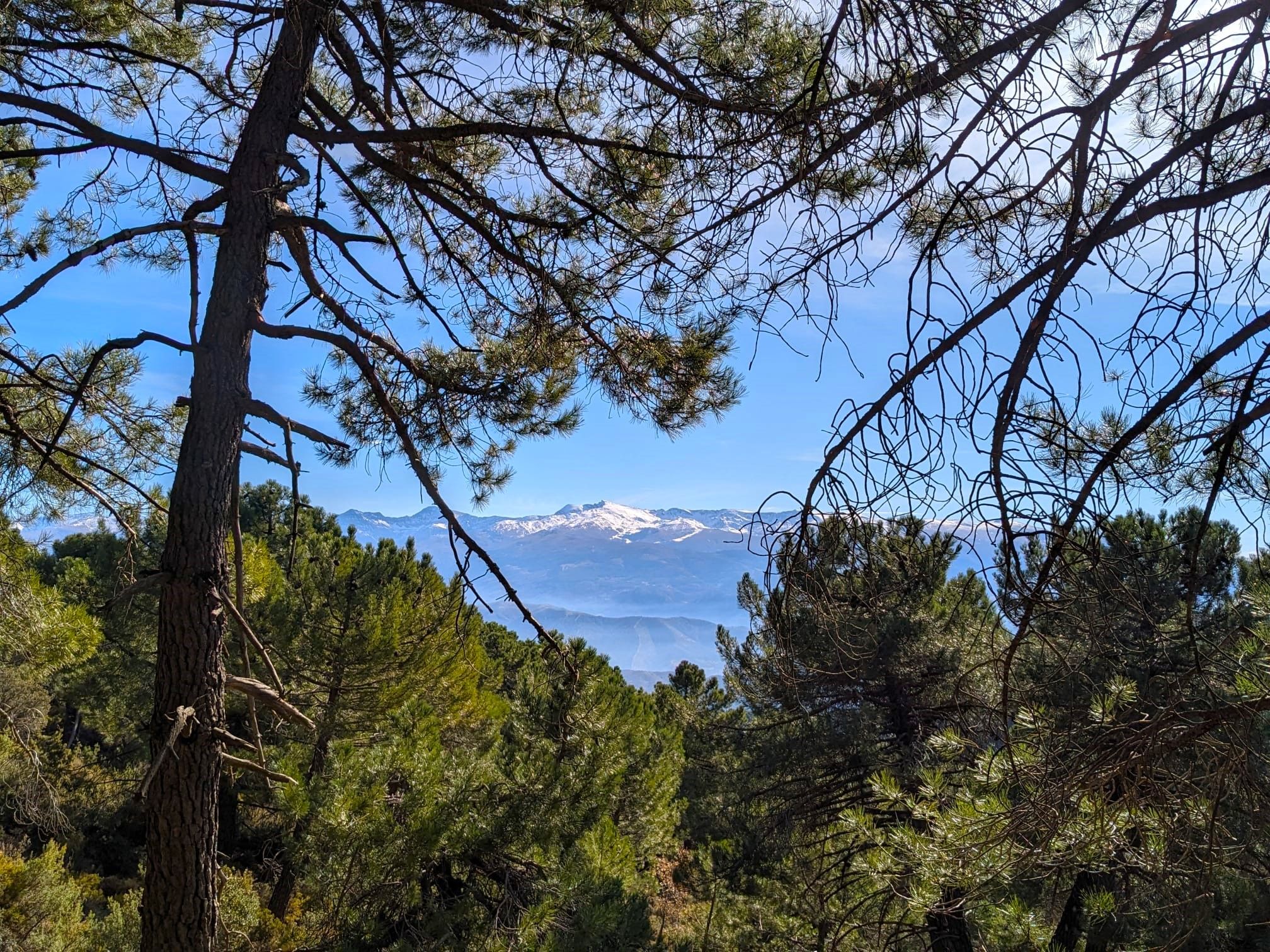
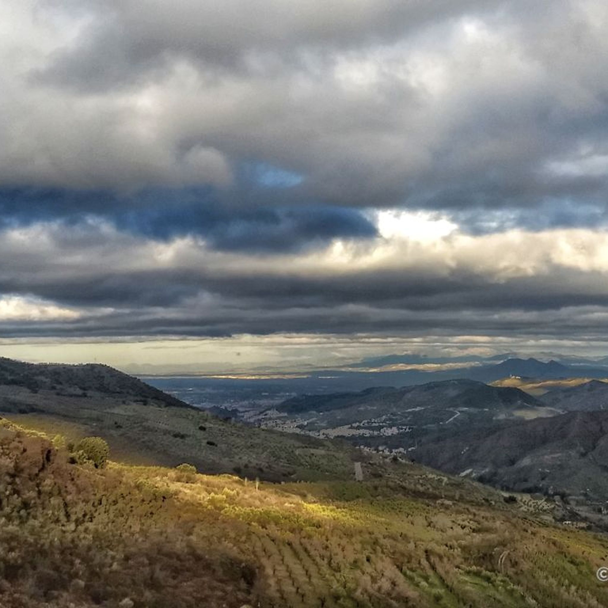
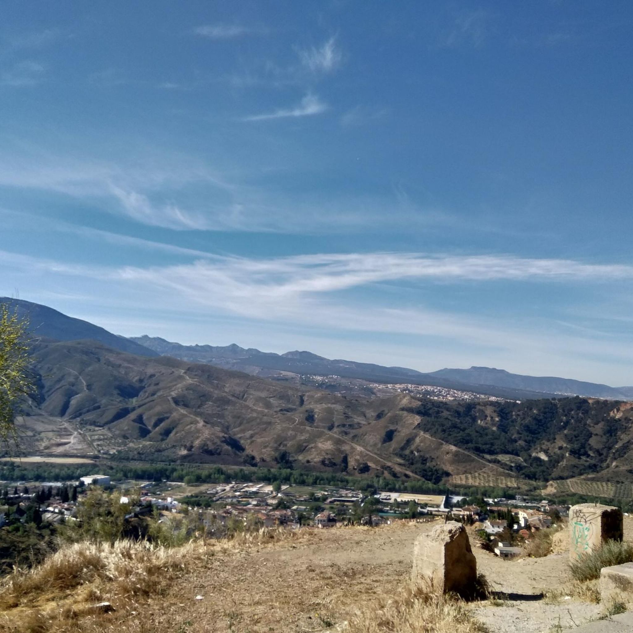
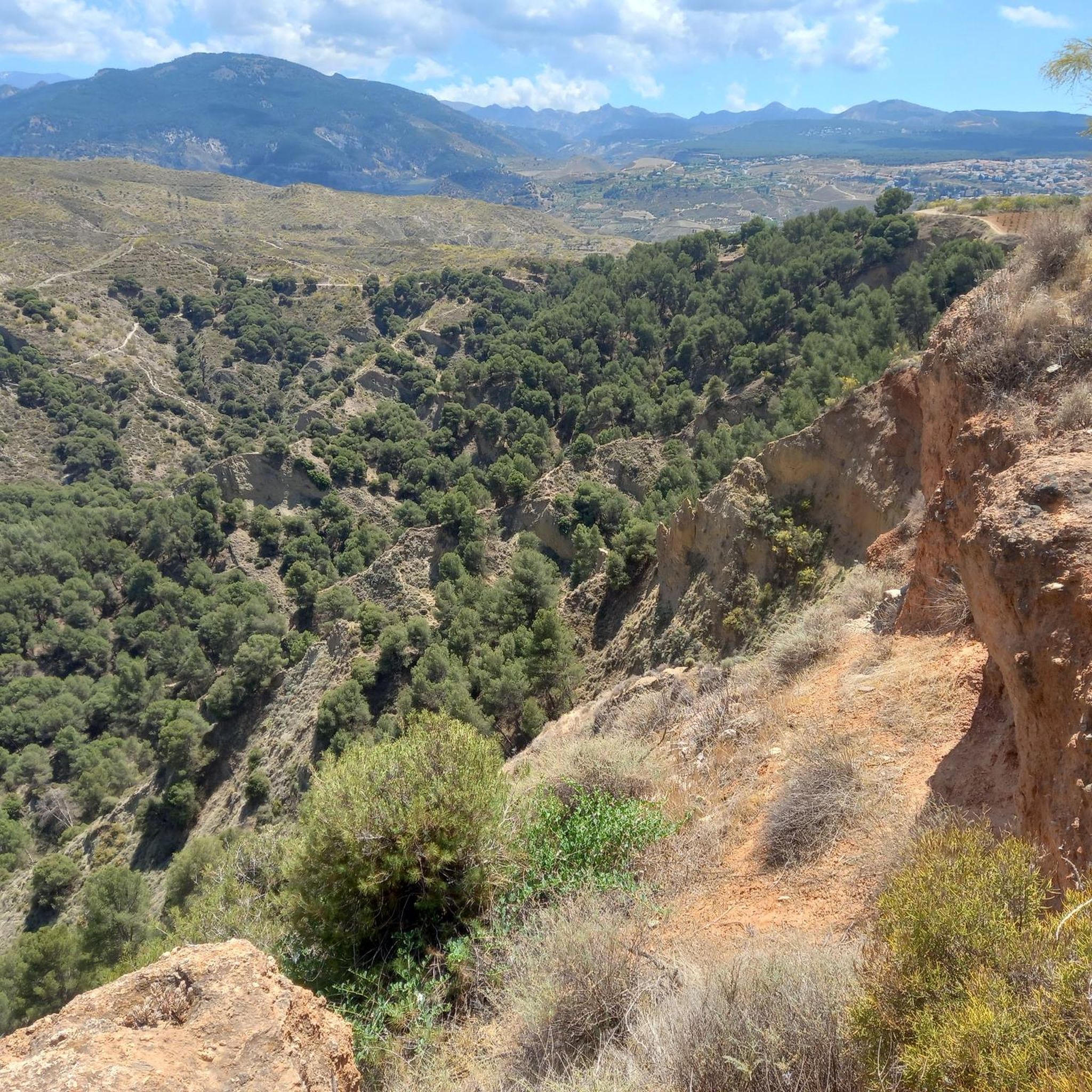
Hiking around Cenes De La Vega offers routes through varied terrain, characterized by the Genil River valley and surrounding hills. The area provides views towards Granada and the Sacromonte district, with trails often traversing agricultural land and Mediterranean scrub. Elevation changes are common, ranging from gentle riverside paths to more sustained climbs on higher ground.
Best hiking trails around Cenes De La Vega
- The most popular hiking route is Pico de la Cruz loop from Huétor Vega, a 6.4…
Last updated: October 12, 2026
4.0
(5)
35
hikers
8.33km
02:13
80m
80m
Moderate hike. Good fitness required. Easily-accessible paths. Suitable for all skill levels.
17
hikers
15.5km
04:15
240m
240m
Moderate hike. Good fitness required. Easily-accessible paths. Suitable for all skill levels.

4.0
(1)
3
hikers
3.10km
00:49
30m
30m
Easy hike. Great for any fitness level. Easily-accessible paths. Suitable for all skill levels.
7
hikers
4.06km
01:04
30m
30m
Easy hike. Great for any fitness level. Easily-accessible paths. Suitable for all skill levels.
4.0
(1)
10
hikers
Easy hike. Great for any fitness level. Easily-accessible paths. Suitable for all skill levels.
Get access to more routes and recommendations from other explorers.
Already have an account?
Our route recommendations are based on thousands of hikes, rides, and runs completed by other people on komoot.
Start today with a free account
Your next adventure awaits.
Popular around Cenes De La Vega

Other adventures around Cenes De La Vega

Tips from the Community

My advice is to follow the course of the Genil
0
0

Lovely and beautiful place, a good stop on the way to regain strength
0
0
Mandatory stop once you are in it.I call it.the.pwdiez
1
0

Good starting or ending point for a walk because of the bus connection and delicious coffee on the terrace.
0
0

Do not bring water. There are many sources.
0
0

Simply beautiful to look at
2
0

I have never seen so much dog excrement on the streets. What a disgrace! What kind of people live there?
1
0

Canales Reservoir is located in the municipality of Güéjar Sierra. This reservoir, opened in 1988, is located on the foothills of the Sierra Nevada and is a key infrastructure for the region. Its main uses include water supply, irrigation and hydroelectric power generation. In addition, the reservoir area is popular for recreational activities such as fishing, water sports and swimming.
3
0
Frequently Asked Questions
How many hiking trails are available around Cenes De La Vega?
There are over 500 hiking trails around Cenes De La Vega. These routes cater to various skill levels, with nearly 200 easy trails, over 250 moderate options, and more than 70 challenging routes for experienced hikers.
Are there any easy, family-friendly hikes in Cenes De La Vega?
Yes, Cenes De La Vega offers several easy routes suitable for families. A good option is the Genil River in Pinos Genil loop from Cenes de la Vega, which is 3.3 miles (5.3 km) long and follows the Genil River valley. Another easy trail is the View from Cerro del Sol loop from Cenes de la Vega, offering pleasant views over 3.9 miles (6.3 km).
What kind of views can I expect on hikes around Cenes De La Vega?
Hiking routes in Cenes De La Vega often provide diverse views. You can expect panoramic vistas of the historic Sacromonte area, as seen on the View of Sacromonte loop from Cenes de la Vega. Many trails also offer views towards Granada and traverse the scenic Genil River valley and surrounding hills.
Are there any circular hiking routes in the area?
Yes, many trails around Cenes De La Vega are circular, allowing you to start and end at the same point. Examples include the Pico de la Cruz loop from Huétor Vega, which offers local hill views, and the Genil River in Pinos Genil – Fountain of the Four Lions loop from Cenes de la Vega, a longer moderate option.
What are some notable natural attractions or landmarks to see near the trails?
The region boasts several interesting natural and historical sites. You can explore the dramatic Los Cahorros Gorge, Monachil, known for its hanging bridges like the Hanging Bridge of Los Cahorros. Other highlights include the Quéntar Reservoir and the beautiful Carmen de los Mártires Gardens.
What is the best time of year to go hiking in Cenes De La Vega?
The best time for hiking in Cenes De La Vega is generally during the spring (March to May) and autumn (September to November) months. During these periods, the weather is typically mild and pleasant, making for comfortable conditions on the trails. Summers can be very hot, and winters, while generally mild, can bring cooler temperatures and occasional rain.
Are there any advanced or challenging hiking routes in Cenes De La Vega?
Yes, for more experienced hikers, Cenes De La Vega offers over 70 difficult routes. These trails typically feature more significant elevation changes and longer distances, providing a greater challenge. You can find detailed information and GPX tracks for these routes on komoot to plan your adventure.
What do other hikers enjoy most about the trails in Cenes De La Vega?
The hiking trails in Cenes De La Vega are highly rated by the komoot community, with an average score of 4.5 stars from over 3,800 reviews. Hikers often praise the varied terrain, from gentle riverside paths to more sustained climbs, and the rewarding views towards Granada and the Sacromonte district.
Is public transport available to reach hiking trailheads in Cenes De La Vega?
Cenes De La Vega is well-connected to Granada by local bus services, which can provide access to the town itself. From there, many trailheads are accessible on foot. For specific routes, it's advisable to check local bus schedules and route maps to plan your approach to the starting points.
Are there options for parking near the hiking trails?
Yes, Cenes De La Vega, being a residential area and a gateway to the surrounding hills, typically offers various parking options. You can often find street parking in and around the town, especially near popular access points for trails. It's always recommended to arrive early, especially on weekends, to secure a spot.
Can I find cafes or places to eat near the hiking trails?
Cenes De La Vega has a selection of local cafes, bars, and restaurants where you can refuel before or after your hike. These establishments are generally located within the town center, making it convenient to grab a coffee, a snack, or a meal. Some trails may pass closer to these amenities than others, so check your route beforehand.
Are there any gorges or canyons to explore in the area?
Yes, the region around Cenes De La Vega is known for its impressive gorges. The most famous is the Los Cahorros Gorge, Monachil, which features stunning rock formations and the iconic Hanging Bridge of Los Cahorros. Another notable natural feature is the Tajo de las Palomas.
Most popular routes around Cenes De La Vega
Most popular attractions around Cenes De La Vega

Get inspired with the komoot mobile app


Explore more
Browse the best Hikes in other regions.
