The best running trails around Sorihuela
343
runners
49
runs
Jogging around Sorihuela offers diverse terrain in the southeast of Salamanca province, Spain. The landscape features lush meadows, small orchards, and wooded areas with oak, ash, and elm trees. Elevated regions provide mountainous views and granite rock formations. This varied environment, including ancient transhumance routes, creates a dynamic setting for running.
Best jogging routes around Sorihuela
- The most popular jogging route is Embalse de Navamuño from Candelario — circular through the Parque regional Sierra de Gredos, a 5.8 miles…
Last updated: June 27, 2026
6
runners
Moderate run. Good fitness required. Mostly paved surfaces. Suitable for all skill levels.
4
runners
Moderate run. Good fitness required. Mostly accessible paths. Some sure footedness required.

Sign up for free
1
runners
Hard run. Very good fitness required. Sure-footedness, sturdy shoes and alpine experience required.
26
runners
13.1km
01:36
360m
360m
Hard run. Very good fitness required. Mostly paved surfaces. Suitable for all skill levels.
23
runners
16.3km
01:59
660m
660m
Hard run. Very good fitness required. Sure-footedness, sturdy shoes and alpine experience required.
Get access to more routes and recommendations from other explorers.
Sign up for free
Already have an account?
Our route recommendations are based on thousands of hikes, rides, and runs completed by other people on komoot.
Start today with a free account
Your next adventure awaits.
Login or Signup
Tips from the Community

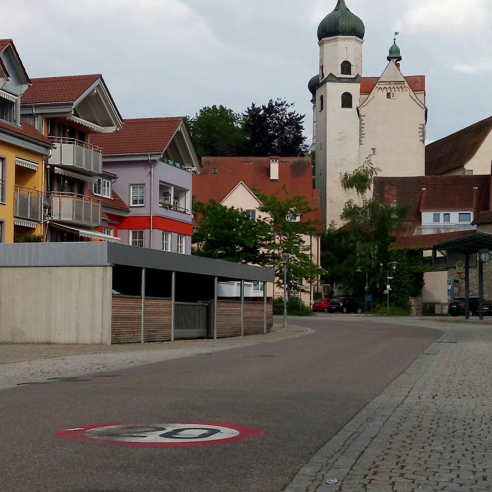
Regarding its history, the cross is a traditional symbol often associated with popular religiosity and the protection of the people. Although there is not much specific historical documentation about this cross, in Candelario it is common to find elements linked to Christian tradition, given that the municipality has a strong cultural and religious identity, also reflected in its festivals and architecture.
1
0
The Cross in Candelario Park is located in the municipality of Candelario, in the province of Salamanca (Castilla y León), within the town's Municipal Park. This park is a green space frequently visited by locals and tourists, and the cross is one of its most distinctive features, situated in an elevated area that offers views of the surrounding area.
1
0

The bullring of the city of Béjar, in the province of Salamanca (Spain), better known as La Ancianita, is the oldest bullring preserved in Spain, inaugurated in 1711.2 Located on the Castañar mountain next to the Sanctuary of the Virgen del Castañar, two kilometers from Béjar.3
0
0

Old power plant that used the current of the waters of the Río Cuerpo del Hombre to create electricity. Its walls are currently there.
0
1
Section of road that is located at 1080 meters and where it is possible to make a stop and refill the water bottle. If necessary, rest a bit...
0
0

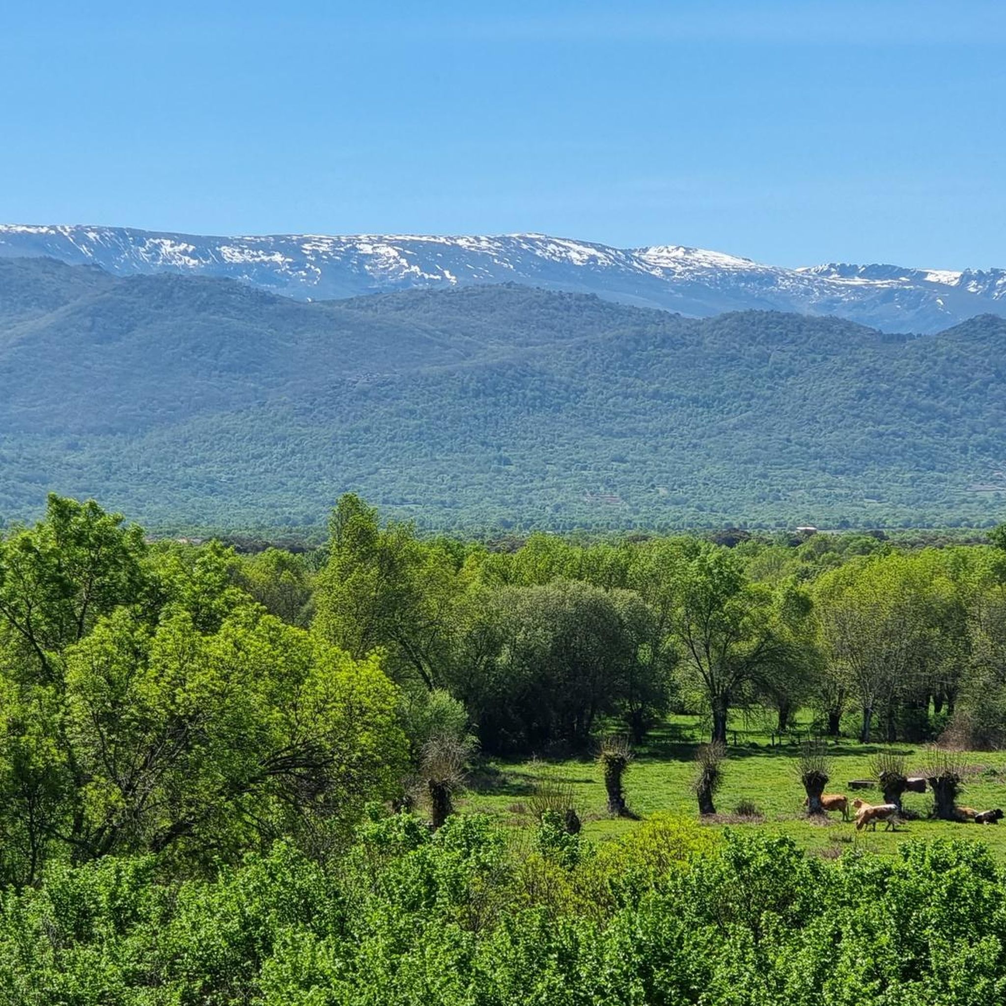
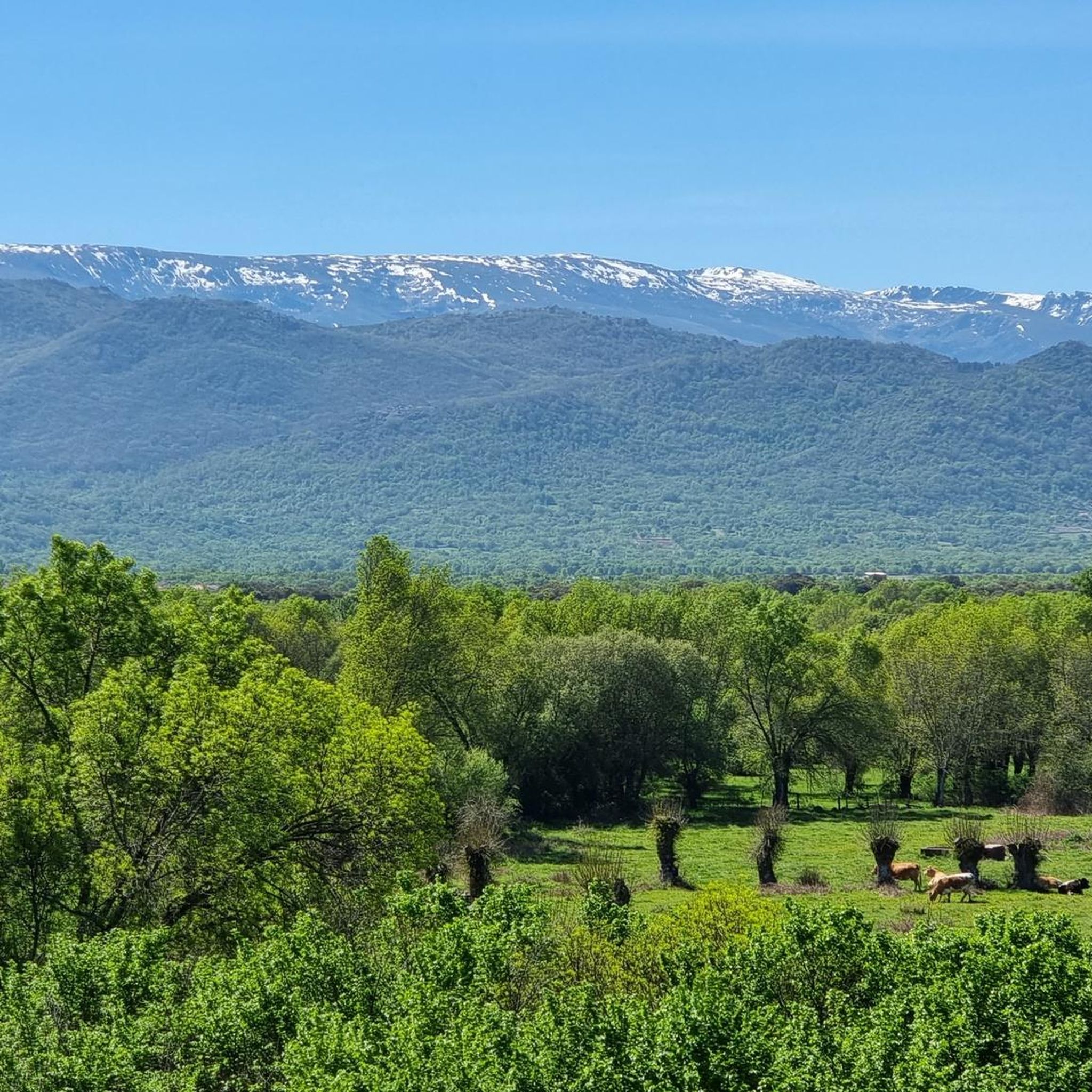
Candelario Park is a beautiful place full of trees and a small beach bar in which to spend a pleasant summer afternoon after a little run. On the bench next to the cross you can enjoy a beautiful view of the town and the Sierra de Candelario.
2
0
Nice dam on the Cuerpo de hombre river. Perfect for taking a dip on a hot summer day.
2
1

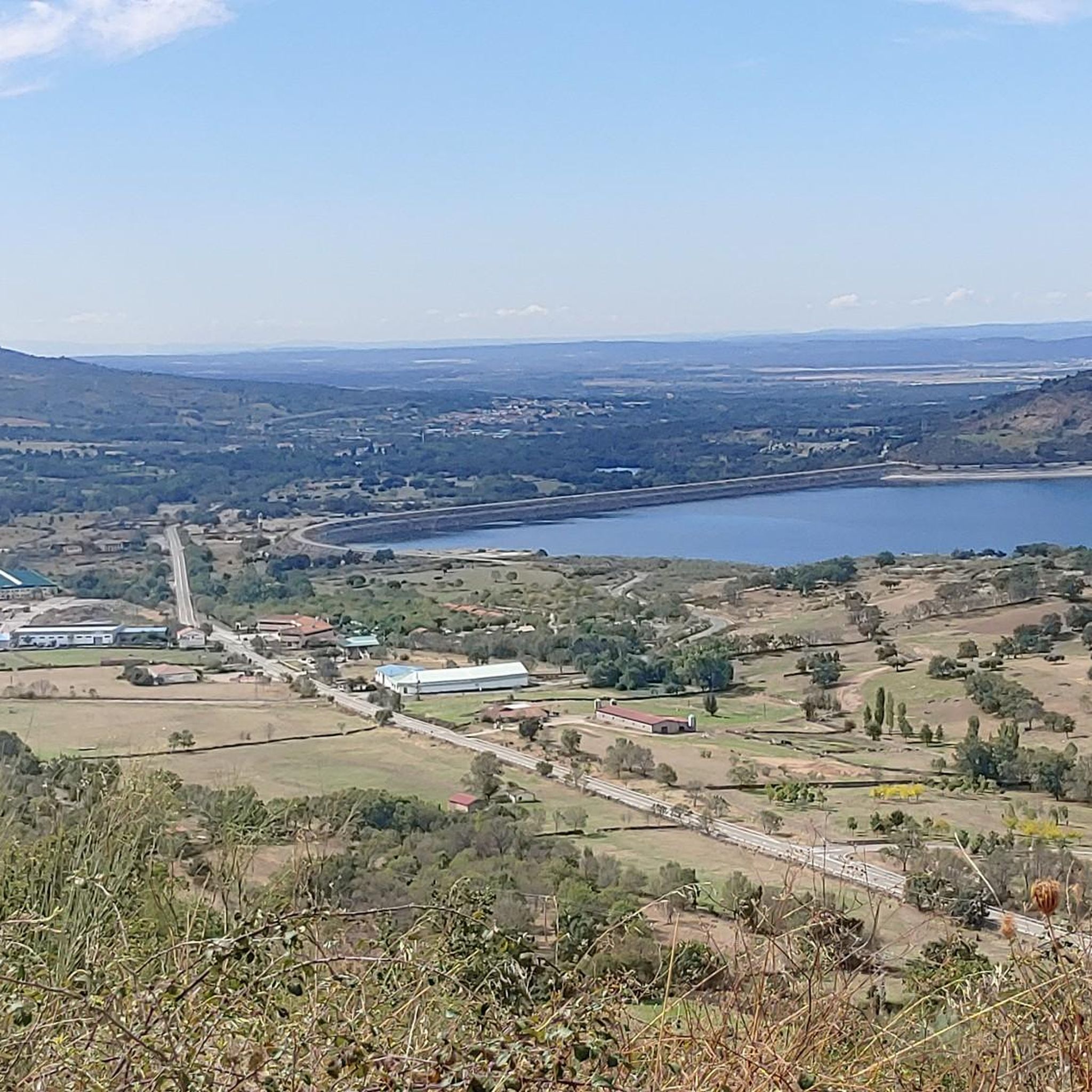
One of the many jewels offered by the Sierra de Candelario, the Navamuño Reservoir combines perfectly with the landscape that surrounds it.
1
0
Frequently Asked Questions
What kind of terrain can I expect on the running trails around Sorihuela?
The area around Sorihuela offers a diverse and engaging landscape for runners. You'll find lush meadows, small orchards, and wooded areas with oak, ash, and elm trees. Higher regions feature rugged granite rock formations and offer spectacular panoramic views, providing a mix of flat riverside paths and undulating routes through natural spaces.
How many running routes are available in the Sorihuela area?
There are over 50 running routes recorded around Sorihuela on komoot, catering to various preferences and fitness levels. This extensive network ensures a wide range of options for your jogging adventures.
Are there running routes suitable for beginners or those looking for an easy jog?
Yes, while many routes are moderate or difficult, there is at least one easy running route available in Sorihuela. The diverse terrain also allows for less strenuous sections within longer trails, making it possible to find paths suitable for a relaxed pace.
Can I find challenging or long-distance running trails near Sorihuela?
Absolutely. Sorihuela is an excellent destination for advanced runners. Over 30 of the routes are classified as difficult, and many are long-distance. For example, the La Ancianita bullring – Views on the embalse de Navamuño loop from Béjar is a challenging 16.3 km route with significant elevation gain.
Are there any circular running routes in Sorihuela?
Yes, many of the running routes around Sorihuela are circular, offering convenient loops. Popular options include Embalse de Navamuño from Candelario — circular through the Parque regional Sierra de Gredos and Peña de la Cruz – running circular through the Espacio Natural de la Sierra de Candelario.
What natural features or landmarks can I see while running in Sorihuela?
The region boasts beautiful natural features and historical points of interest. You might encounter ancient transhumance routes, lush meadows, and dense woodlands. Notable natural highlights include the Cedro de la Francesa and the Risco Gordo – Cardosa Balcony, which offers stunning views. You can also find the Garganta del Oso waterfall.
Are there any viewpoints or panoramic vistas along the running trails?
Yes, the higher mountainous regions around Sorihuela are known for their rugged granite formations and offer spectacular panoramic views. The Risco Gordo – Cardosa Balcony is specifically highlighted as a summit offering great vistas.
What do other runners say about the trails in Sorihuela?
The running routes in Sorihuela are highly rated by the komoot community, with an average score of 4.0 stars from over 1 review. More than 350 runners have used komoot to explore Sorihuela's varied terrain, often praising the diverse landscapes and engaging environment.
Are the running routes in Sorihuela suitable for families?
While specific family-friendly routes are not detailed, the varied terrain includes lush meadows and riverside paths that can be suitable for families looking for a gentler experience. It's advisable to check the difficulty and length of individual routes to match your family's capabilities.
Can I bring my dog on the running trails in Sorihuela?
The natural environment of Sorihuela, with its extensive trail network and varied landscapes, is generally welcoming for dogs. However, it's always recommended to check local regulations or specific route details for any restrictions, especially in protected natural spaces, and to keep your dog on a leash where required.
Are there any routes that pass by water features like reservoirs or waterfalls?
Yes, some routes incorporate water features. For instance, the Embalse de Navamuño from Candelario — circular through the Parque regional Sierra de Gredos offers views of the reservoir. Additionally, the Garganta del Oso is a notable waterfall highlight in the area.
What is the historical significance of some of the trails in Sorihuela?
Sorihuela was historically part of traditional transhumance routes, which were seasonal migration paths for livestock. Many of these ancient paths have been preserved and now form part of the well-established trail network, offering a unique historical context to your run through the natural landscape.
Most popular attractions around Sorihuela

Get inspired with the komoot mobile app


Explore more
Browse the best Running Trails & Routes in other regions.
