The best walks and hikes around Sanchotello
4.5
(130)
654
hikers
62
hikes
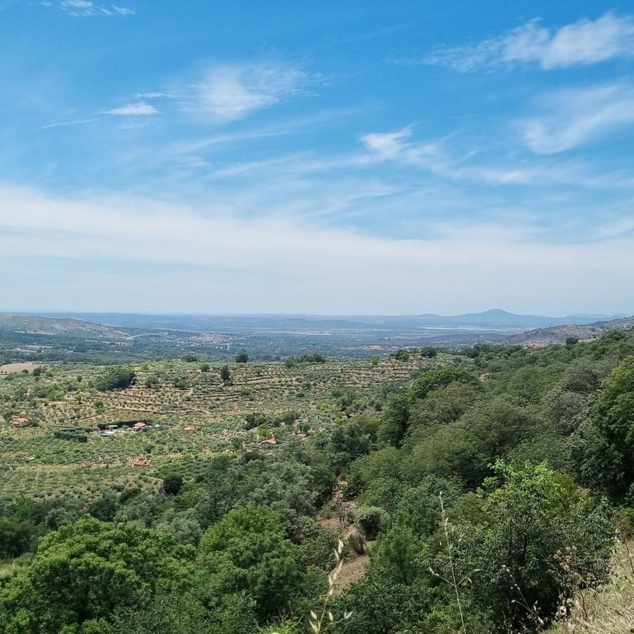
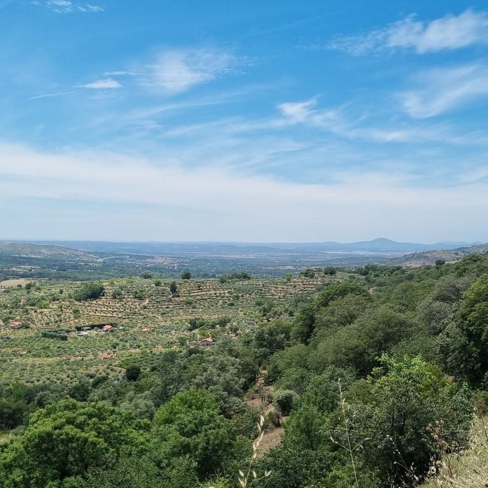
Hiking around Sanchotello offers access to varied terrain within the Sangusín river valley and the northern slopes of the Sierra de Béjar. The region is characterized by lush riparian landscapes, green forests, and elevated viewpoints. Streams like the Arroyo de los Puentes contribute to a rich valley environment, while the nearby Sierra de Béjar features steep mountains and diverse ecosystems. This area is part of the Sierras de Béjar y Francia Biosphere Reserve, providing a compelling environment for outdoor activities.
…Last updated: June 28, 2026
4.21km
01:25
180m
180m
Hike the difficult 2.6-mile Santuario de Nuestra Senora del Castanar from Bejar trail, gaining 602 feet to reach the historic sanctuary.
4.6
(5)
34
hikers
10.7km
03:03
250m
250m
Moderate hike. Good fitness required. Easily-accessible paths. Suitable for all skill levels.

Sign up for free
4.2
(6)
31
hikers
19.0km
05:55
710m
710m
Hard hike. Very good fitness required. Mostly accessible paths. Sure-footedness required.
5.0
(9)
39
hikers
Hard hike. Very good fitness required. Easily-accessible paths. Suitable for all skill levels.
4.9
(7)
24
hikers
14.6km
04:23
450m
450m
Moderate hike. Good fitness required. Easily-accessible paths. Suitable for all skill levels.
Get access to more routes and recommendations from other explorers.
Sign up for free
Already have an account?
Our route recommendations are based on thousands of hikes, rides, and runs completed by other people on komoot.
Start today with a free account
Your next adventure awaits.
Login or Signup

Tips from the Community

The Peña de la Cruz shelter has 20 beds and offers traditional cuisine for both guests and passers-by. According to its own promotion, it is an ideal place to go and see the stars with friends.
1
0

The bullring of the city of Béjar, in the province of Salamanca (Spain), better known as La Ancianita, is the oldest bullring preserved in Spain, inaugurated in 1711.2 Located on the Castañar mountain next to the Sanctuary of the Virgen del Castañar, two kilometers from Béjar.3
0
0


This hermitage receives the visitor as soon as they enter the Villa de Candalario and is called the hermitage of Santo Cristo del Refugio, on a large esplanade presided over by the Terminus Cross. Inside rests the Cristo del Refugio, of great devotion by the residents of the town.
2
0
Nice dam on the Cuerpo de hombre river. Perfect for taking a dip on a hot summer day.
2
1

One of the many jewels offered by the Sierra de Candelario, the Navamuño Reservoir combines perfectly with the landscape that surrounds it.
1
0
Located on the outskirts of Béjar in the middle of the Sierra de Candelario forest, this magnificent Sanctuary was built after the apparition of the Virgin in 1496. It is a very picturesque building and it is also worth visiting inside.
1
1
A very popular place in the area and with good reason it is. Next to the cross is the viewpoint that offers beautiful panoramic views of the entire Sierra de Béjar valley and the town below. A few meters away is the refuge and an area with tables to take a break and enjoy this wonderful place.
1
1
Frequently Asked Questions
What kind of terrain can I expect on hikes around Sanchotello?
Hiking around Sanchotello offers a diverse range of terrain. You'll find lush riparian landscapes along the Sangusín river valley, green, leafy forests, and more rugged, steep mountains as you approach the Sierra de Béjar. The area is part of the Sierras de Béjar y Francia Biosphere Reserve, featuring varied ecosystems including oak, chestnut, ash, and strawberry-tree forests, alongside spectacular glacial landforms.
Are there hiking trails suitable for all difficulty levels in Sanchotello?
Yes, Sanchotello offers a variety of trails catering to different abilities. Out of over 60 routes available, you'll find approximately 15 easy trails for leisurely walks, around 33 moderate paths, and about 14 more difficult routes for experienced hikers seeking a challenge. For example, the Béjar - El Castañar Trail is considered difficult, while the Fuente de la Hoja – Ermita del Humilladero loop from Béjar is a moderate option.
What natural features or landmarks can I see while hiking near Sanchotello?
The region is rich in natural beauty and interesting landmarks. You can explore the Sangusín River valley with its converging streams, or ascend to viewpoints like Peña de los Frailes for impressive vistas of the valley and the Sierra de Francia. Notable highlights include the Cedro de la Francesa, a significant natural monument, and the Fountain of the Souls. The Peña Negra Summit also offers panoramic views.
When is the best time of year to go hiking in Sanchotello?
The diverse landscapes of Sanchotello, from river valleys to mountain slopes, make it enjoyable across seasons. Spring and autumn generally offer the most pleasant temperatures for hiking, with lush greenery in spring and vibrant colors in autumn. Summer can be warm, especially in the valleys, but higher elevations in the Sierra de Béjar provide cooler options. Winter hikes are possible, particularly at lower altitudes, but conditions can be more challenging in the mountains.
Are there family-friendly hiking options in Sanchotello?
While specific family-friendly routes are not detailed, Sanchotello offers approximately 15 easy trails that would be suitable for families. The varied terrain, including the lush Sangusín river valley, provides opportunities for more leisurely treks that can be enjoyed by all ages. Look for routes with minimal elevation gain and shorter distances for a comfortable family outing.
Are dogs allowed on hiking trails around Sanchotello?
The Sierra de Béjar y Francia is a Biosphere Reserve, which often implies certain regulations regarding pets to protect wildlife. While specific rules for dogs on trails around Sanchotello are not provided, it's generally advisable to keep dogs on a leash, especially in protected areas, and to clean up after them. Always check local signage at trailheads for any specific restrictions.
Are there any circular walks available near Sanchotello?
Yes, there are several circular routes to enjoy. A popular option is the Fuente de la Hoja – Ermita del Humilladero loop from Béjar, a moderate 9.8-mile path. Another highly-rated circular trail is the Viewpoint – Cedro de la Francesa loop from Béjar, which covers 6.8 miles and offers impressive views.
What do other hikers enjoy the most about hiking in Sanchotello?
The hiking experience around Sanchotello is highly rated by the komoot community, with an average score of 4.6 stars from over 100 reviews. Hikers often praise the diverse landscapes, from the tranquil riverine environments to the challenging mountain ascents, and the impressive viewpoints like Peña de los Frailes. The well-preserved ecosystems within the Biosphere Reserve are also a significant draw.
Is public transport available to access hiking trails in Sanchotello?
While Sanchotello is nestled in a rural area, the nearby town of Béjar serves as a more accessible hub. From Béjar, you can often find local transport options or arrange for taxis to reach specific trailheads. However, direct public transport to all hiking starting points within Sanchotello itself may be limited, so planning private transport or carpooling is often recommended.
Are there any permits required for hiking in the Sierra de Béjar y Francia Biosphere Reserve?
The Sierra de Béjar y Francia is recognized as a UNESCO Biosphere Reserve, highlighting its ecological importance. While general hiking does not typically require permits, certain activities or access to specific sensitive areas might. It's always a good practice to check with local tourism offices or park authorities for the most current regulations, especially if planning off-trail exploration or group activities.
What is the highest point I can reach on a hike near Sanchotello?
Among the mountains protecting Sanchotello, Piquitos is identified as the highest point, offering potential panoramic views for hikers who reach its summit. The broader Sierra de Béjar range features altitudes up to 2,425 meters, providing challenging ascents for experienced hikers seeking significant elevation.
Most popular routes around Sanchotello
Most popular attractions around Sanchotello

Get inspired with the komoot mobile app


Explore more
Browse the best Hikes in other regions.
