The best running trails around Encinacorba
136
runners
16
runs
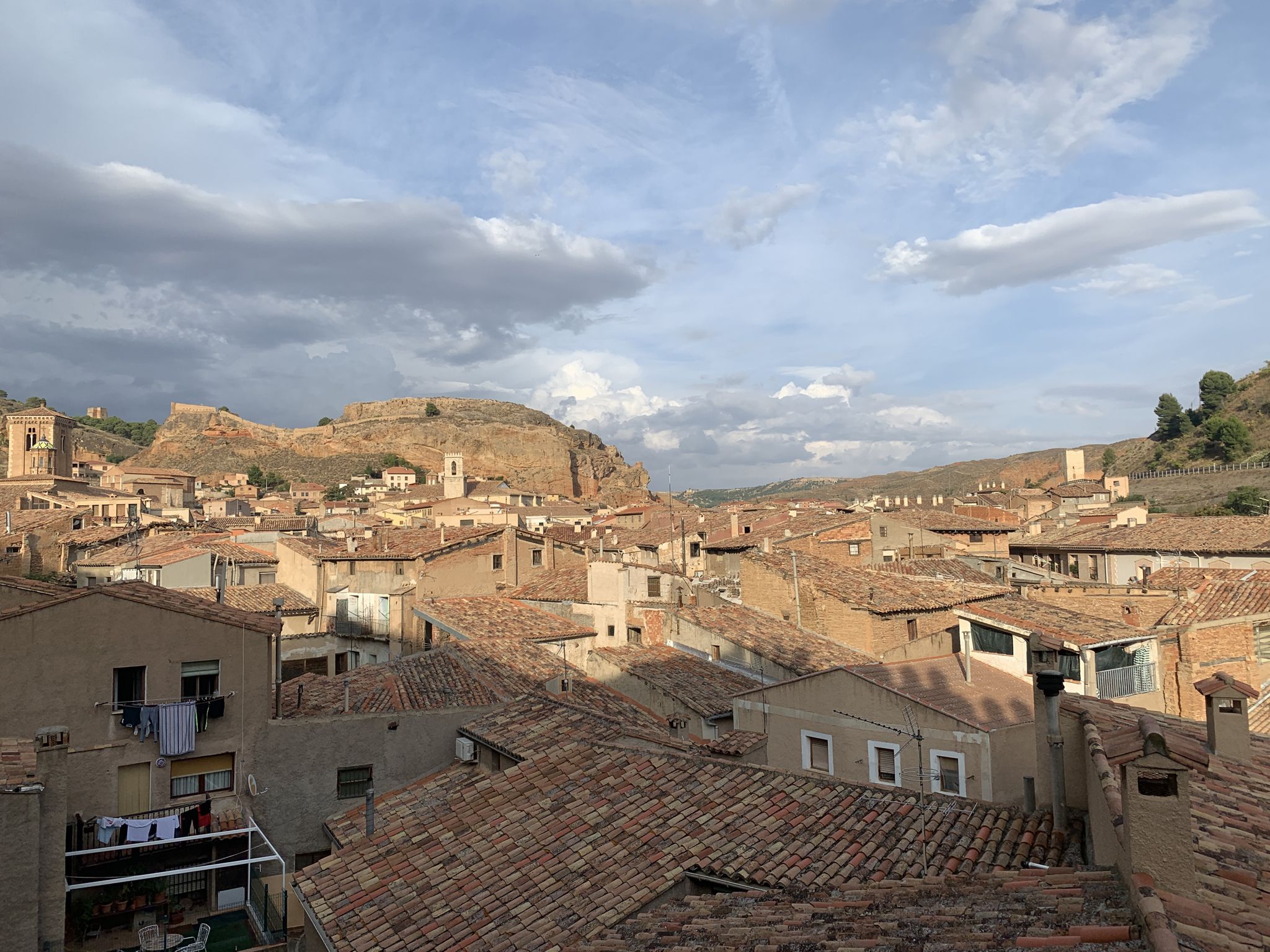
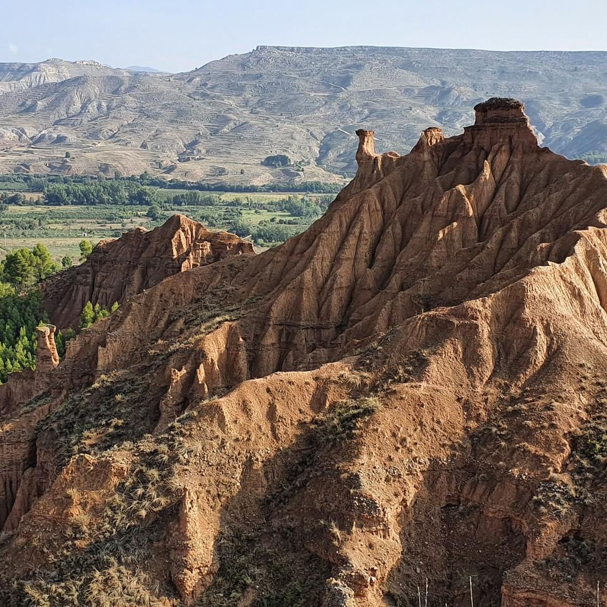
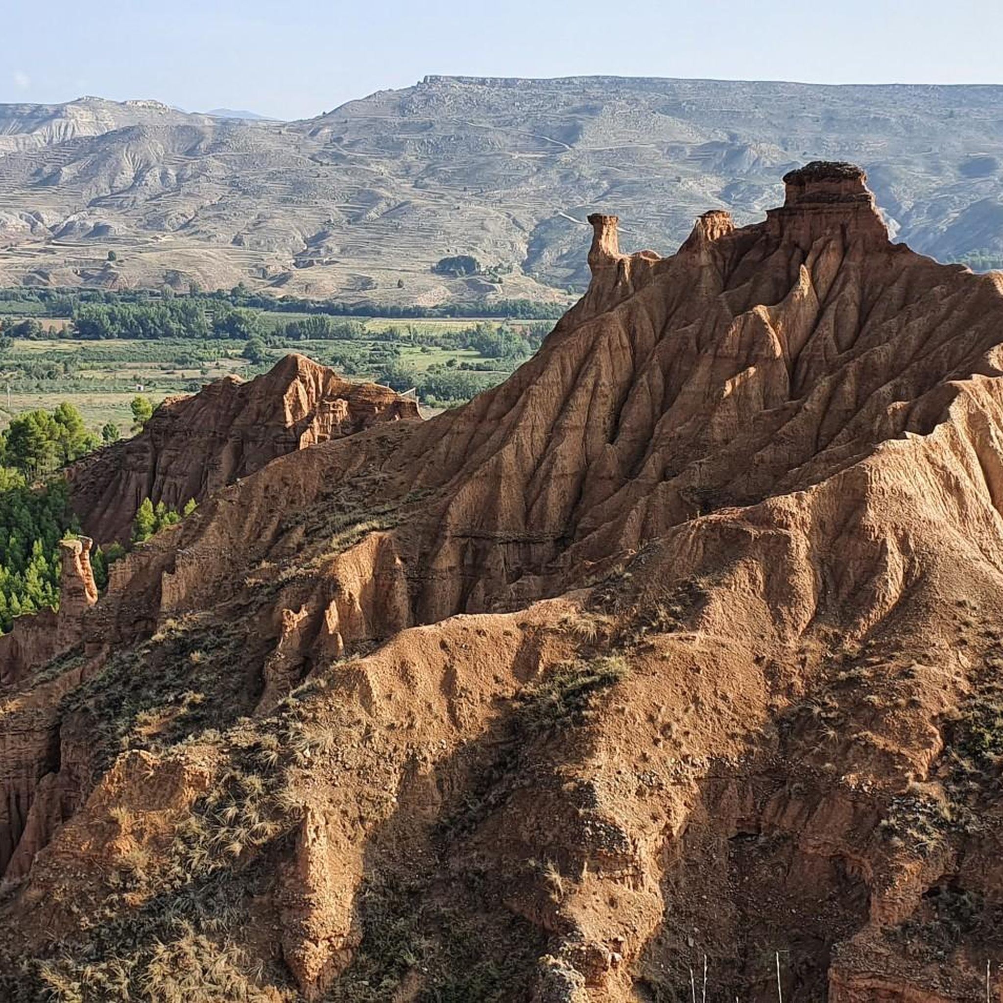
Jogging routes around Encinacorba are set within the Aragonese countryside, offering diverse natural landscapes at an altitude of approximately 800 meters above sea level. The region is characterized by varied terrain, including rocky sections and dense forest areas, particularly at the foot of the Sierra de Algairén. These features provide a dynamic environment for running, with routes that often lead to panoramic views of the surrounding valleys and mountains.
Best jogging routes around Encinacorba
- The most popular jogging route is…
Last updated: July 1, 2026
17
runners
Hard run. Very good fitness required. Mostly paved surfaces. Suitable for all skill levels.
34
runners
20.0km
02:55
960m
960m
Hard run. Very good fitness required. Mostly paved surfaces. Suitable for all skill levels.

Sign up for free
26
runners
18.1km
02:39
860m
860m
Hard run. Very good fitness required. Mostly paved surfaces. Suitable for all skill levels.
10
runners
25.7km
03:40
1,030m
1,030m
Hard run. Very good fitness required. Mostly paved surfaces. Suitable for all skill levels.
10
runners
10.9km
01:42
530m
530m
Hard run. Very good fitness required. Mostly paved surfaces. Suitable for all skill levels.
Get access to more routes and recommendations from other explorers.
Sign up for free
Already have an account?
Our route recommendations are based on thousands of hikes, rides, and runs completed by other people on komoot.
Start today with a free account
Your next adventure awaits.
Login or Signup
Other adventures around Encinacorba

Tips from the Community

Crossroads between the Valdemadera peak, the Tiermas valley and Cerro del Espino
0
0

Beautiful hill located in the middle of a long trail.
0
0

We find beautiful views from the Tío Franisco pass, a connection point between the Cosuenda area and the Tiernas de Alpartir ravine
1
0
Cerro del Espino is located in the center of the Sierra de Algairén, between Almonacid de la Sierra and Cosuenda, which is 50 kilometers from Zaragoza. At the top of this mountain, we will find a metal cross that is usually adorned with handkerchiefs and the typical cachirulo of the Aragonese lands.
1
0
Located 1038 meters above sea level and on the path of La Lechera, we find this beautiful picture in the Collado de la Hermana with views of the top of Monte del Cortado
1
0
We find ourselves going up the ravine of the hortales, by the path known as the one of the Tía. It will guide us until we reach the North range of the Sierra de Algairén. Nice path with awesome views when you reach the top.
1
0
Cerro del Espino is located in the center of the Sierra de Algairén, between Almonacid de la Sierra and Cosuenda, which is 50 kilometers from Zaragoza. At the top of this mountain, we will find a metal cross that is usually adorned with handkerchiefs and the typical cachirulo of the land.
1
0
Frequently Asked Questions
How many running routes are available around Encinacorba?
There are 15 dedicated running routes documented on komoot for the Encinacorba area. These routes offer a variety of experiences through the Aragonese countryside.
What kind of terrain can I expect on the jogging trails in Encinacorba?
The jogging trails around Encinacorba are characterized by varied terrain, including rocky sections and dense forest areas, especially at the foot of the Sierra de Algairén. You can expect a dynamic environment with trails that often lead to panoramic views of the surrounding valleys and mountains.
Are there any easy running routes for beginners in Encinacorba?
While many routes in Encinacorba are challenging, there is at least one easy route available. The Monte Calvario Circular Route (not explicitly in guide data, but mentioned in region research as easy) is ideal for those seeking a less strenuous run, offering panoramic views. Most of the documented komoot routes are rated as difficult, so beginners should check route details carefully.
What are some notable landmarks or viewpoints I can discover while running in the area?
Encinacorba offers several scenic points. You can find excellent vistas at the Collado de la Luz, or explore the Ridge of the Sierra de Algairén. The "La Peña Val de Tobarcé" – Mirador de "Val de Cerezo" loop from Albergue de Aguarón also offers potential viewpoints.
Are there any circular running routes around Encinacorba?
Yes, there are several circular running routes. For example, the Aunt's Trail loop from Albergue de Aguarón and the "La Peña Val de Tobarcé" – Mirador de "Val de Cerezo" loop from Albergue de Aguarón are popular options that bring you back to your starting point.
Can I bring my dog on the running trails in Encinacorba?
While specific regulations for each trail are not detailed, generally, most outdoor trails in natural areas like Encinacorba are dog-friendly. It's always recommended to keep your dog on a leash and ensure you clean up after them to preserve the natural environment for everyone.
What makes Encinacorba a good destination for outdoor running?
Encinacorba is an appealing destination for runners due to its diverse natural landscapes, including the Sierra de Algairén, and its tranquil environment. The trails offer not just physical exercise but also a profound engagement with nature, providing fresh air and scenic beauty away from urban bustle.
Are there any long-distance or advanced running trails for experienced runners?
Yes, Encinacorba is particularly well-suited for experienced runners, with 14 out of 15 routes rated as difficult. Trails like the Collado de la Hermana y Cerro del Espino desde el Raso de la Cruz — Sierra de Algairén (17.3 km) or the Collado de la Hermana loop from Albergue de Aguarón (25.7 km) offer significant challenges in terms of distance and elevation.
What is the best time of year to go running in Encinacorba?
Encinacorba's tranquil environment and fresh air make it suitable for running throughout much of the year. While no specific season is highlighted, the diverse terrain and scenic beauty can be enjoyed in spring and autumn for milder temperatures, or during summer mornings/evenings to avoid peak heat.
Are there any attractions nearby that I can visit after a run?
Absolutely! After your run, you could visit the historic Hermitage of the Virgin of the Eagle, or explore the charming Plaza de la Iglesia of Almonacid de la Sierra, which is a short distance away.
Are the running routes around Encinacorba suitable for families with children?
Given that most of the documented routes are rated as difficult, many may not be ideal for families with young children. However, the region research mentions an 'easy' Monte Calvario Circular Route which might be more suitable for a family walk or a very gentle jog, offering great views without extreme difficulty.
Is parking available near the trailheads in Encinacorba?
While specific parking facilities are not detailed for every trailhead, many routes start from accessible points like the 'Raso de la Cruz' or 'Albergue de Aguarón', suggesting that parking options are likely available in these areas to accommodate visitors.
Most popular attractions around Encinacorba

Get inspired with the komoot mobile app


Explore more
Browse the best Running Trails & Routes in other regions.
