The best walks and hikes around Blanca
4.4
(246)
1,294
hikers
82
hikes
Hiking around Blanca offers diverse trails through the Ricote Valley, characterized by the Segura River, agricultural landscapes, and surrounding hills. The region features a mix of arid terrain, lush orchards, and significant reservoirs like Azud de Ojós. These physical features provide varied hiking experiences, from riverside paths to elevated viewpoints.
Best hiking trails around Blanca
- The most popular hiking route is Moriscos - Huerta de Ricote Trail, a 4.5 miles (7.3 km) trail that takes 2 hours 5 minutes…
Last updated: June 25, 2026
4.7
(31)
147
hikers
7.29km
02:05
170m
170m
Moderate hike. Good fitness required. Easily-accessible paths. Suitable for all skill levels.
4.6
(7)
41
hikers
4.07km
01:06
60m
60m
Easy hike. Great for any fitness level. Easily-accessible paths. Suitable for all skill levels.

Sign up for free
4.9
(9)
40
hikers
12.1km
03:34
290m
290m
Moderate hike. Good fitness required. Mostly accessible paths. Sure-footedness required.
4.6
(13)
53
hikers
11.0km
03:21
360m
360m
Moderate hike. Good fitness required. Easily-accessible paths. Suitable for all skill levels.
4.5
(6)
19
hikers
9.36km
02:29
100m
100m
Moderate hike. Good fitness required. Easily-accessible paths. Suitable for all skill levels.
Get access to more routes and recommendations from other explorers.
Sign up for free
Already have an account?
Our route recommendations are based on thousands of hikes, rides, and runs completed by other people on komoot.
Start today with a free account
Your next adventure awaits.
Login or Signup

Tips from the Community

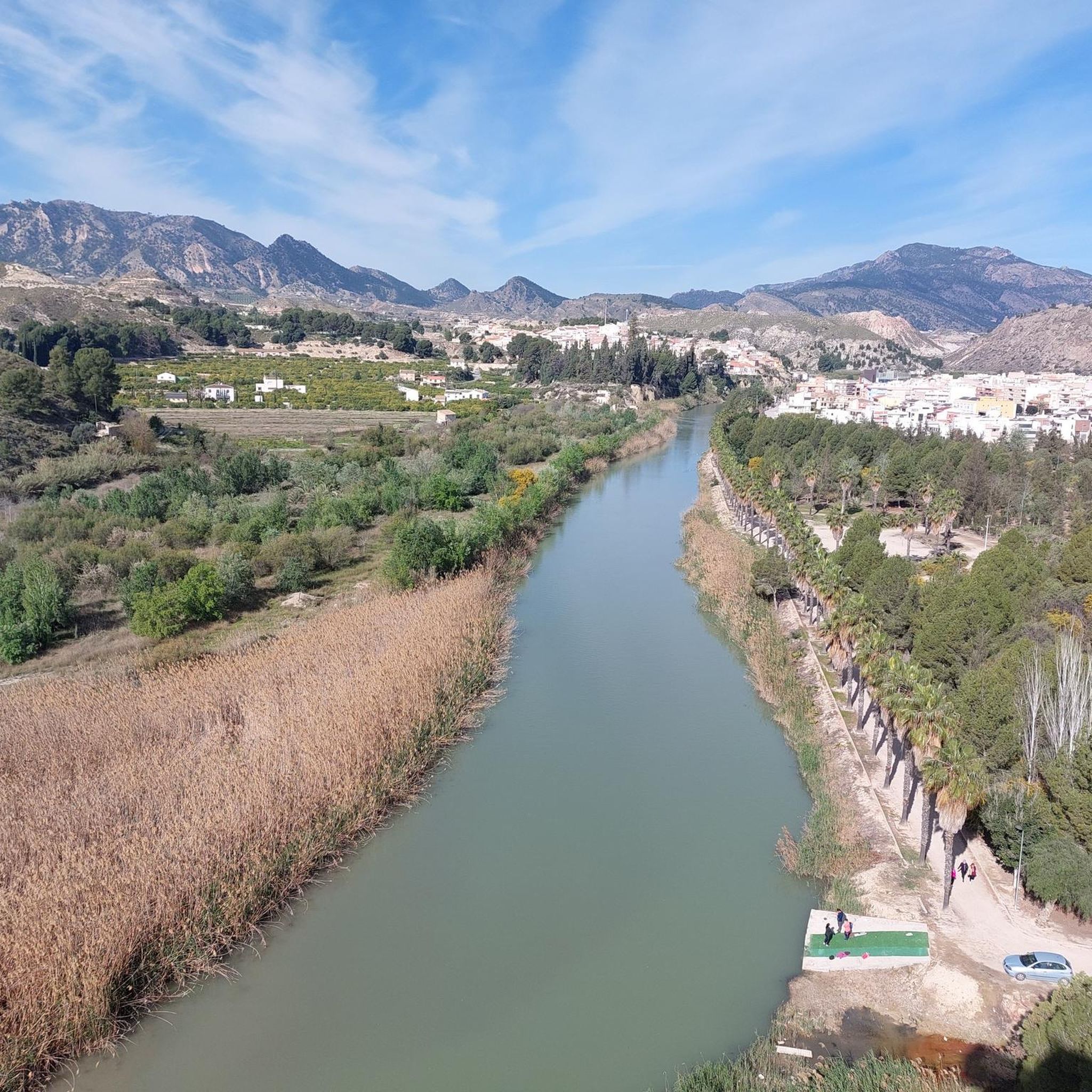
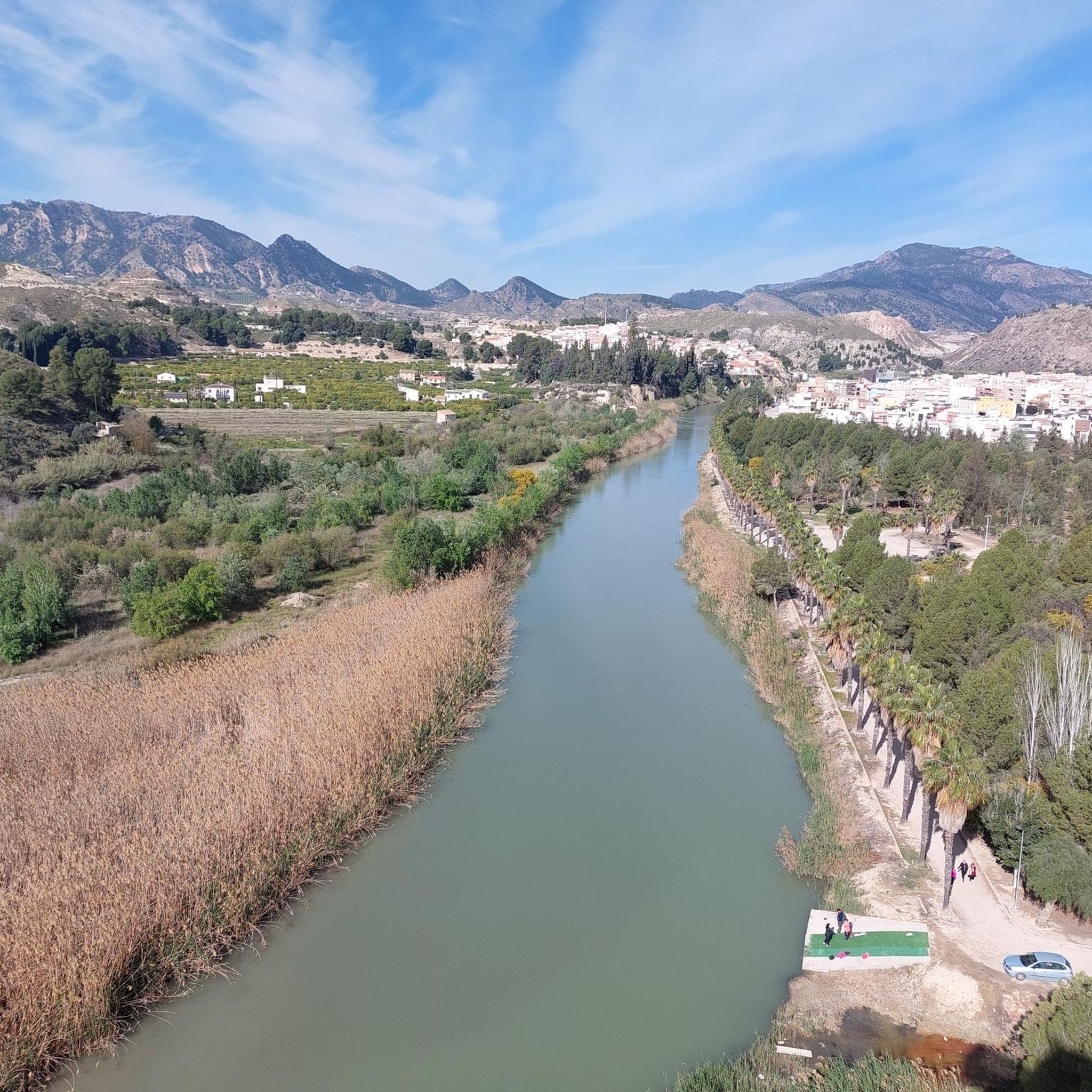
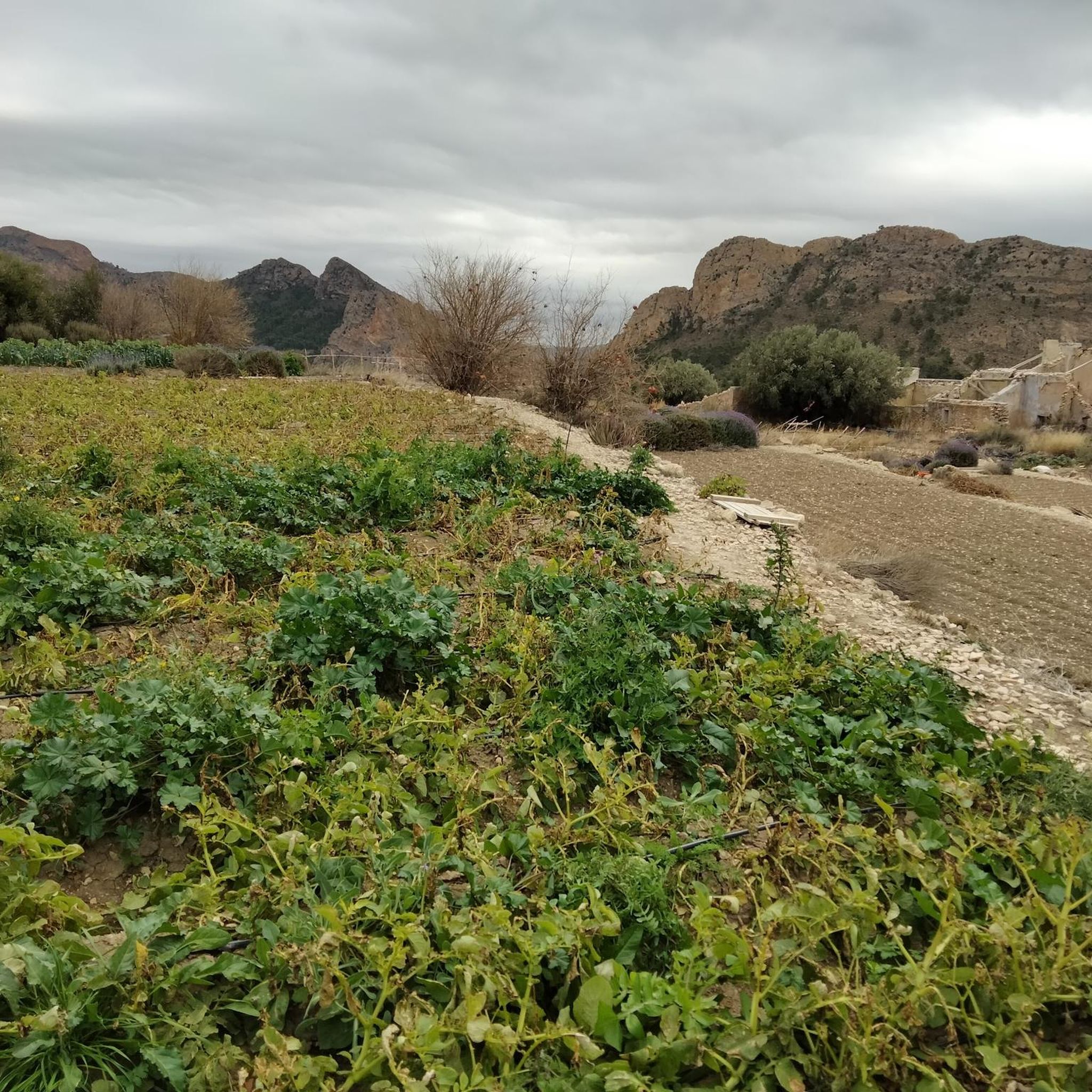
From this path we will have beautiful views of the Ricote valley at all times.
0
0

On your way back through town, be sure to admire the giant, ball-shaped rock next to the houses. Unfortunately, I'm already back in Germany and can't take a picture.
0
0

I really liked this route, except for the return trip, which went through the town. I would have returned the same way I came.
0
0


A short tour with a real wow moment.
0
1

A very nice quiet walking trail. One downside is that the path goes along a street for a large part. Not a busy street, but less fun. The first part along the Río Segura is great.
0
0

The viewpoint is located on the side of the road. I advise you to stop for a few moments and enjoy the views of the Ulea Castle, the Pila de la Reina Mora and the Ojós orchard. A real spectacle.
1
0
The viewpoint is located on the side of the road. I advise you to stop for a few moments and enjoy the views of the castle of Ulea, the Pila de la Reina Mora and the Huerta de Ojos. A real show.
0
0
Frequently Asked Questions
How many hiking trails are available around Blanca?
There are over 85 hiking trails in the Blanca region, offering a wide variety of experiences. This includes 23 easy routes, 44 moderate trails, and 18 more challenging options.
Are there any easy, family-friendly hiking trails in Blanca?
Yes, Blanca offers several easy trails suitable for families. One popular option is The Norias Trail (PR-MU 28) — Circular from Abarán, an easy 4.1 km (2.5 miles) path that explores traditional irrigation systems and riverside scenery. Many trails along the Segura River are also generally flat and accessible.
What kind of scenery can I expect on hikes around Blanca?
Hiking around Blanca is characterized by the diverse landscapes of the Ricote Valley. You'll encounter the lush agricultural areas along the Segura River, arid hills, and significant reservoirs like Azud de Ojós. Trails often feature a mix of riverside paths, elevated viewpoints, and traditional irrigation systems.
Are there any circular hiking routes in the Blanca area?
Yes, several circular routes are available. A notable one is The Norias Trail (PR-MU 28) — Circular from Abarán, which is an easy loop. Another is the View of Azud de Ojós Reservoir – Trail of the Moriscos loop from Ricote, a moderate 12.1 km (7.5 miles) trail offering reservoir views.
What are some challenging hiking routes near Blanca?
For those seeking a challenge, Blanca has 18 difficult routes. While specific names aren't listed here, trails that ascend into the surrounding hills and mountains, such as those leading towards summits like Almeces or Pico de La Pila, tend to be more demanding due to elevation gain and rugged terrain.
What attractions or landmarks can I see along the hiking trails?
Along the trails, you can discover various points of interest. These include the historic Puente de Alambre, the traditional Acequia de la Andelma, and the scenic Jarral River Beach. You might also encounter viewpoints like the Viewpoint of the Cross of Abarán, offering panoramic vistas of the region.
What do other hikers say about the trails in Blanca?
The hiking routes in Blanca are highly rated by the komoot community, with an average score of 4.4 stars from over 200 reviews. Hikers often praise the diverse scenery, the well-maintained paths along the river, and the unique cultural insights provided by trails exploring traditional irrigation systems and historic sites.
Are there any trails that offer views of the Azud de Ojós Reservoir?
Yes, the View of Azud de Ojós Reservoir – Trail of the Moriscos loop from Ricote is a moderate 12.1 km (7.5 miles) trail specifically designed to offer excellent views of the reservoir. Another option is the Azud de Ojós Reservoir – Azud de Ojós Reservoir loop from Blanca, a moderate 9.4 km (5.8 miles) route that also circles the reservoir.
What is the best time of year to go hiking in Blanca?
The best time for hiking in Blanca is typically during the cooler months, from autumn through spring (October to May). Summers can be very hot in this region of Murcia, making longer hikes less comfortable. Spring offers pleasant temperatures and blooming landscapes, while autumn provides mild weather and beautiful light.
Are there any less crowded hiking options around Blanca?
While popular routes like the Moriscos - Huerta de Ricote Trail can see more foot traffic, exploring some of the 23 easy or 18 difficult routes might lead to quieter experiences. Trails further away from the main towns or those with more significant elevation changes often offer more solitude. Early mornings or weekdays are also good for avoiding crowds.
What kind of wildlife might I encounter while hiking in Blanca?
The diverse ecosystems of the Ricote Valley, from riverside habitats to arid hills, support various wildlife. You might spot birds of prey soaring above the hills, waterfowl near the Segura River and reservoirs, and smaller mammals or reptiles adapted to the Mediterranean climate. Keep an eye out for local flora and fauna unique to the region.
Most popular attractions around Blanca

Get inspired with the komoot mobile app


Explore more
Browse the best Hikes in other regions.
