The best walks and hikes around Camporredondo
5.0
(4)
30
hikers
16
hikes
Hiking around Camporredondo offers a variety of trails through a landscape characterized by gently rolling terrain and wooded areas. The region features a mix of open fields and forested paths, with modest elevation changes. Many routes follow natural contours, providing accessible outdoor experiences. The area's trails are suitable for those seeking walks with varied scenery without significant climbs.
Best hiking trails around Camporredondo
- The most popular hiking route is Atalaya Trail, a 3.3 miles (5.3 km) trail that takes…
Last updated: July 2, 2026
4
hikers
5.35km
01:32
130m
130m
Hike the easy 3.3-mile Sendero de la Atalaya circular trail from Traspinedo, enjoying views of the Duero valley and the Atalaya viewpoint.
5.0
(1)
7
hikers
14.0km
03:42
130m
130m
Hike the moderate 8.7-mile Pino Pinilla Trail near Portillo, enjoying pine forests, the Pino Pinilla natural monument, and views of Portillo

Sign up for free
5.0
(1)
2
hikers
8.30km
02:18
140m
140m
Moderate hike. Good fitness required. Easily-accessible paths. Suitable for all skill levels.
1
hikers
6.57km
01:46
80m
80m
Easy hike. Great for any fitness level. Easily-accessible paths. Suitable for all skill levels.
8.19km
02:14
120m
120m
Moderate hike. Good fitness required. Easily-accessible paths. Suitable for all skill levels.
Get access to more routes and recommendations from other explorers.
Sign up for free
Already have an account?
Our route recommendations are based on thousands of hikes, rides, and runs completed by other people on komoot.
Start today with a free account
Your next adventure awaits.
Login or Signup


Tips from the Community

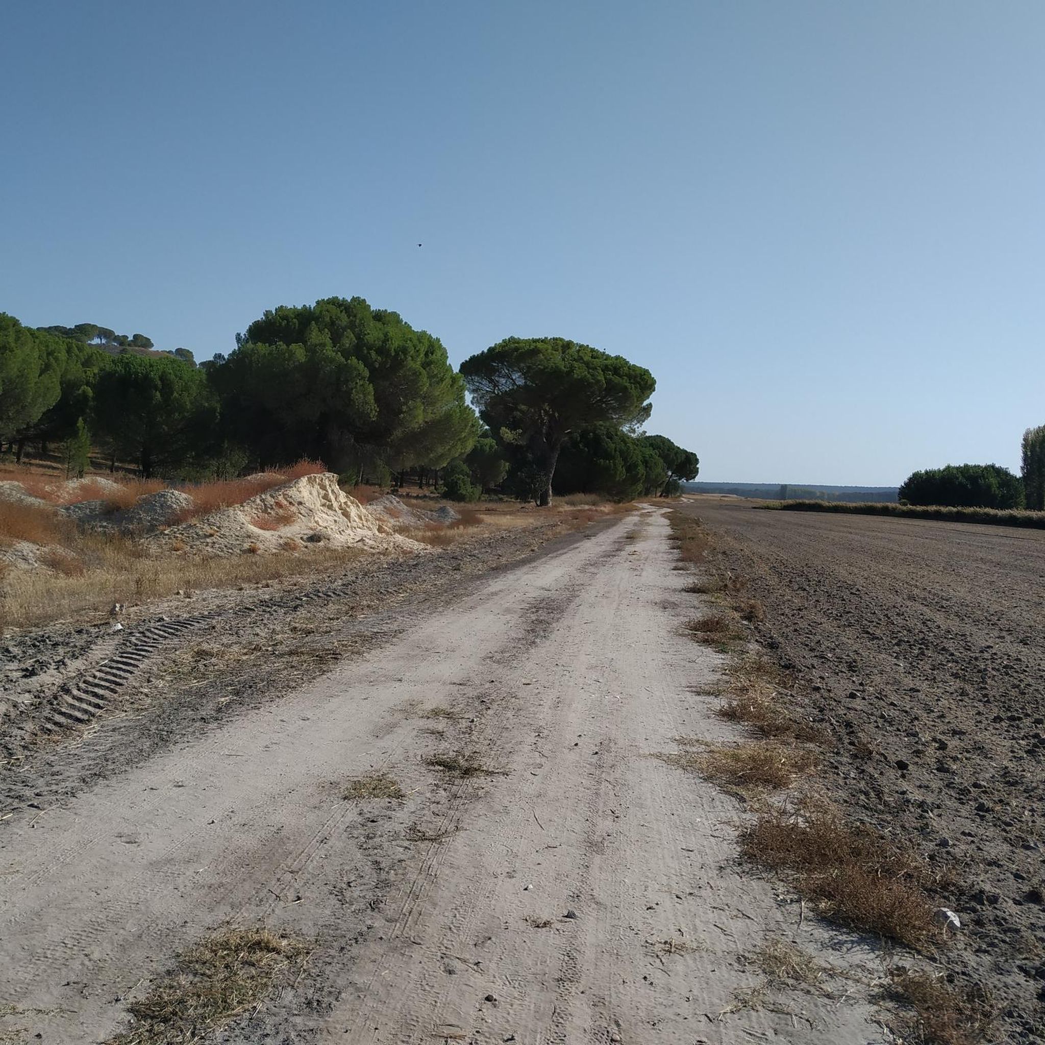
The Old Hermitage of Traspinedo is a favorite place for hiking lovers. Its location on the outskirts of town makes it ideal for a quiet and contemplative walk. If you ever visit Traspinedo, do not hesitate to explore this historical corner and enjoy its charm. 🌿🏰 Despite its current state, the entrance arch and stone cross add a touch of beauty and mystery to the place.
6
0

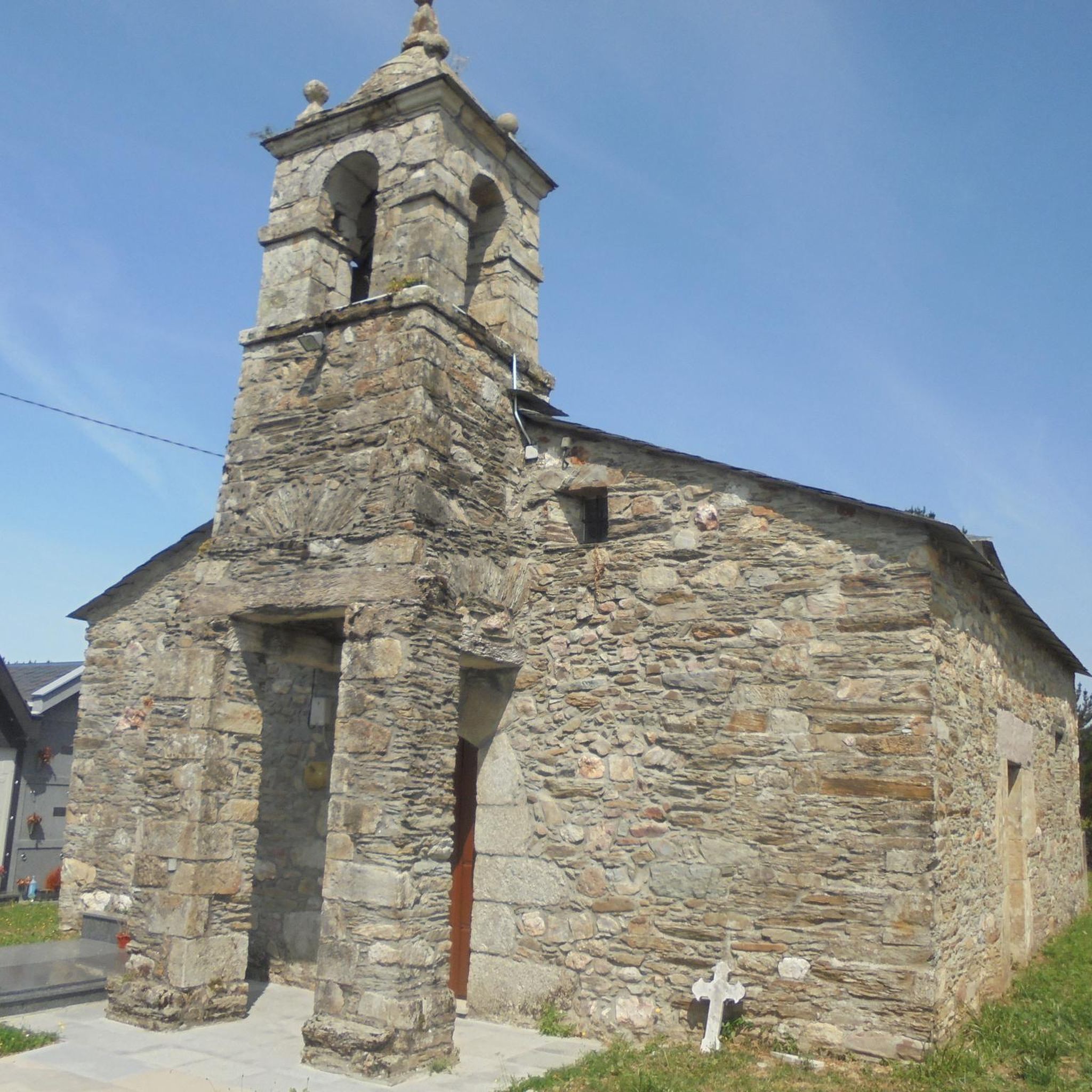
The church of San Juan de Santibáñez de Valcorva, built between the 12th and 13th centuries, has a brick Mudejar or Romanesque style. It is the oldest church in the region and is protected by the castle or Casa Fuerte de Santibáñez de Valcorba on its north side and by the Valcorba stream on its south side. Over the centuries, it has undergone extensions and modifications, including the construction of a Gothic nave and a fortress bell tower in the 17th century.
1
0
The castle of Portillo stands on top of a hill that dominates Tierra de Pinares. Built in the 14th century and restored in the 15th century, the castle was the scene of the arrest and imprisonment of Álvaro de Luna. It represents the power and wealth of its lords, with a square structure, keep, barbican and three fortified gates. In its parade ground there is a well more than 30 meters deep.
1
0

Viewpoint located in the middle of the Valcorba trail with panoramic views of the valley of the same name.
1
0
Religious sanctuary dating from the 13th century in which some remains of Mudejar architecture are preserved. It is the oldest church in the region and one of the oldest in the province
1
1
A little outside of the small town of Traspinedo are the ruins of a small hermitage known as "hermitage del Humilladero".
1
1
Path that runs through part of the Montevalduero route and looks for the outstanding picón that offers beautiful views of the fields around Traspinedo.
2
0
A point that is part of the PRC-VA 31 circular route in Tierra de Pinares, which starts in Portillo, is about 12.5 km with hardly any elevation gain and low difficulty.
7
0
Frequently Asked Questions
How many hiking trails are available around Camporredondo?
Camporredondo offers a selection of around 15 hiking routes. These trails vary in length and difficulty, providing options for different preferences, from easy strolls to more moderate excursions through the local landscape.
Are there easy hiking trails suitable for beginners in Camporredondo?
Yes, Camporredondo has 5 easy hiking trails perfect for beginners or those looking for a relaxed walk. An excellent option is the Atalaya Trail, which is 3.3 miles (5.3 km) long and takes about 1 hour 31 minutes to complete, offering accessible paths through varied scenery.
What is the best time of year to go hiking in Camporredondo?
The region's gently rolling terrain and wooded areas make it suitable for hiking through much of the year. Spring and autumn offer pleasant temperatures and vibrant natural colors. Summer can be warm, so early morning or late afternoon hikes are recommended, while winter walks can be enjoyed on milder days.
Are there any circular hiking routes in Camporredondo?
Yes, Camporredondo features several circular routes. For example, the Sendero del Valcorba (PRC®-VA 21) — circular Santibáñez de Valcorba is a moderate 5.2 miles (8.3 km) loop that takes about 2 hours 18 minutes, leading through the scenic Valcorba valley. Another option is the Sendero de Negredo (PRC-VA 32) — circular desde Traspinedo, an easy 6.57 km circular route.
What kind of terrain can I expect on the hiking trails around Camporredondo?
The hiking trails around Camporredondo are characterized by gently rolling terrain, a mix of open fields, and wooded areas. You'll find modest elevation changes, making most routes accessible and enjoyable without significant climbs. Paths often follow natural contours, providing varied scenery.
Are there any interesting landmarks or attractions to see near the hiking trails?
Yes, the area around Camporredondo offers several points of interest. You can explore historical sites like Portillo Castle or the Old Hermitage of Traspinedo. Other notable sights include the Megeces Bridge and the Church of San Juan de Santibáñez, which can add cultural depth to your hiking experience.
What do other hikers say about the trails in Camporredondo?
The hiking routes in Camporredondo are highly rated by the komoot community, with an average score of 5.0 stars from 3 reviews. Hikers often appreciate the varied scenery, accessible paths, and the peaceful atmosphere of the region's open fields and pine forests.
Are permits required for hiking in Camporredondo?
No, permits are generally not required for hiking on the established trails around Camporredondo. The routes are publicly accessible, allowing hikers to explore the natural surroundings freely.
Are the hiking trails in Camporredondo suitable for families with children?
Many of the trails in Camporredondo are suitable for families, especially the 5 easy routes. The gentle hills and modest elevation changes make them manageable for children. Consider routes like the Atalaya Trail for a shorter, family-friendly outing.
Can I bring my dog on the hiking trails in Camporredondo?
Generally, dogs are welcome on most hiking trails in Camporredondo. It's always recommended to keep your dog on a leash, especially in areas where wildlife might be present or near agricultural land, and to clean up after them to maintain the natural environment for everyone.
Are there any longer, more challenging hikes for experienced hikers?
While Camporredondo is known for its gentle terrain, there are moderate routes for those seeking a longer excursion. The Pino Pinilla Trail is a moderate 8.7 miles (14.0 km) path that winds through pine forests, providing a more extended journey into the natural surroundings.
Where can I find parking at the trailheads in Camporredondo?
Specific parking information varies by trailhead. Many routes in Camporredondo start from villages or accessible points where street parking or small designated areas may be available. It's advisable to check the individual route details on komoot for the most precise starting points and potential parking suggestions.
Most popular attractions around Camporredondo

Get inspired with the komoot mobile app


Explore more
Browse the best Hikes in other regions.
