The best road cycling routes around Fortaleny
4.8
(175)
6,433
riders
77
rides
Road cycling around Fortaleny is characterized by its predominantly flat terrain, making it suitable for smooth, high-speed rides through agricultural landscapes. The village is situated on the right bank of the River Júcar, which forms a natural boundary to its north and east. Expansive rice and orange groves define much of the surrounding area, offering scenic routes. While Fortaleny itself is flat, it lies north of the Sierra de Corbera range, with the wider Valencian Community providing access to more…
Last updated: October 15, 2026
5.0
(5)
381
riders
98.6km
04:07
550m
550m
Moderate road ride. Good fitness required. Mostly well-paved surfaces and easy to ride.
4.5
(4)
245
riders
50.9km
02:07
230m
230m
Moderate road ride. Good fitness required. Mostly well-paved surfaces and easy to ride.

178
riders
114km
05:08
990m
990m
Hard road ride. Very good fitness required. Some segments of this route may be unpaved and difficult to ride.
139
riders
100.0km
04:20
500m
500m
Moderate road ride. Good fitness required. Mostly well-paved surfaces and easy to ride.
4.0
(3)
100
riders
32.4km
01:33
260m
260m
Easy road ride. Great for any fitness level. Mostly well-paved surfaces and easy to ride.
Get access to more routes and recommendations from other explorers.
Already have an account?
Our route recommendations are based on thousands of hikes, rides, and runs completed by other people on komoot.
Start today with a free account
Your next adventure awaits.

Tips from the Community

La Font de la Drova is a traditional fountain and washhouse surrounded by nature and mountains, located in the municipality of Barx (Valencia). The place stands out for its large, greenish-toned water basin and its historic supply facilities, making it an ideal and very popular point of interest among hiking and outdoor route enthusiasts.
0
0
El Puerto de La Drova is a Valencian mountain pass located 382 meters above sea level on the CV-675 road between Gandía and Barx, famous for its beautiful views of the Mondúver surroundings and very popular with cyclists and hikers.
1
0

It is very beautiful, the peace that is there and the natural beauty
1
0

The port of Barx is a Valencian classic. Its horseshoe bends run over the panorama of the surrounding mountains and the Mediterranean coast.
3
0

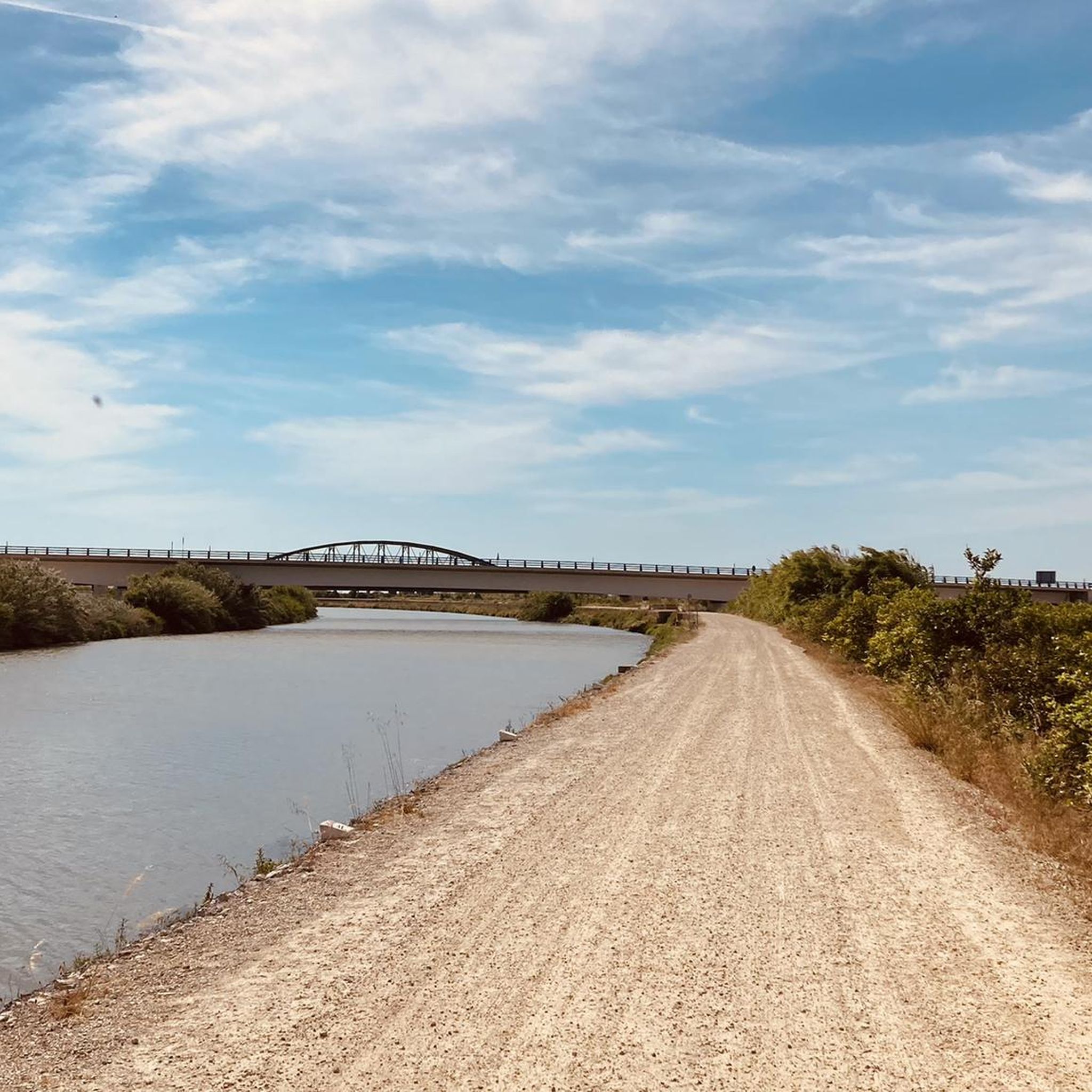
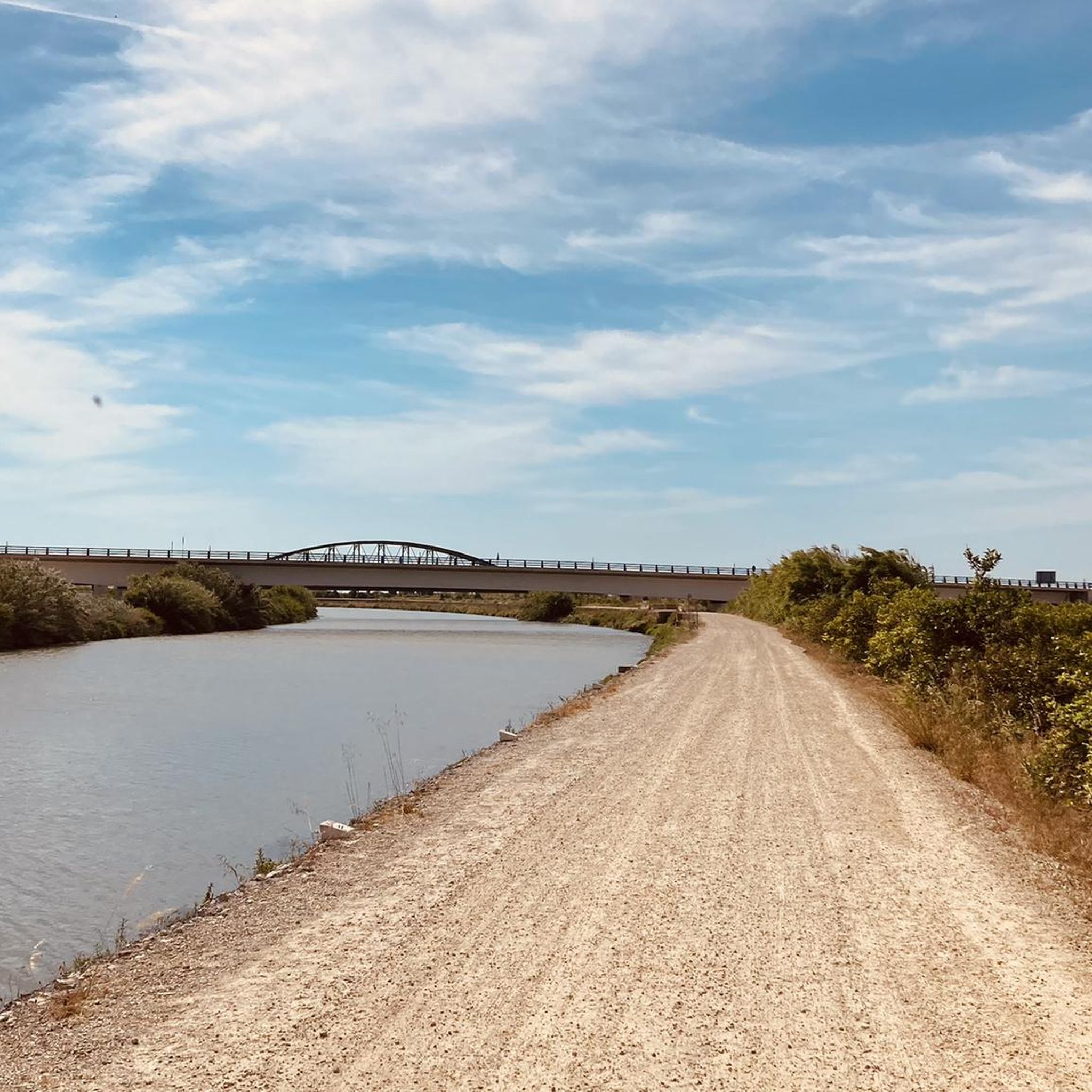
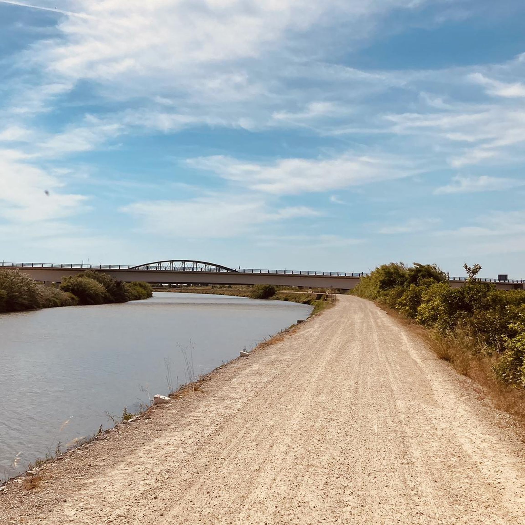
Tram del riu Xúquer entre el poble vell de Gavarda i el poble nou, que va ser construït després del desastre de la pantanada de Tous de 1982.
1
0

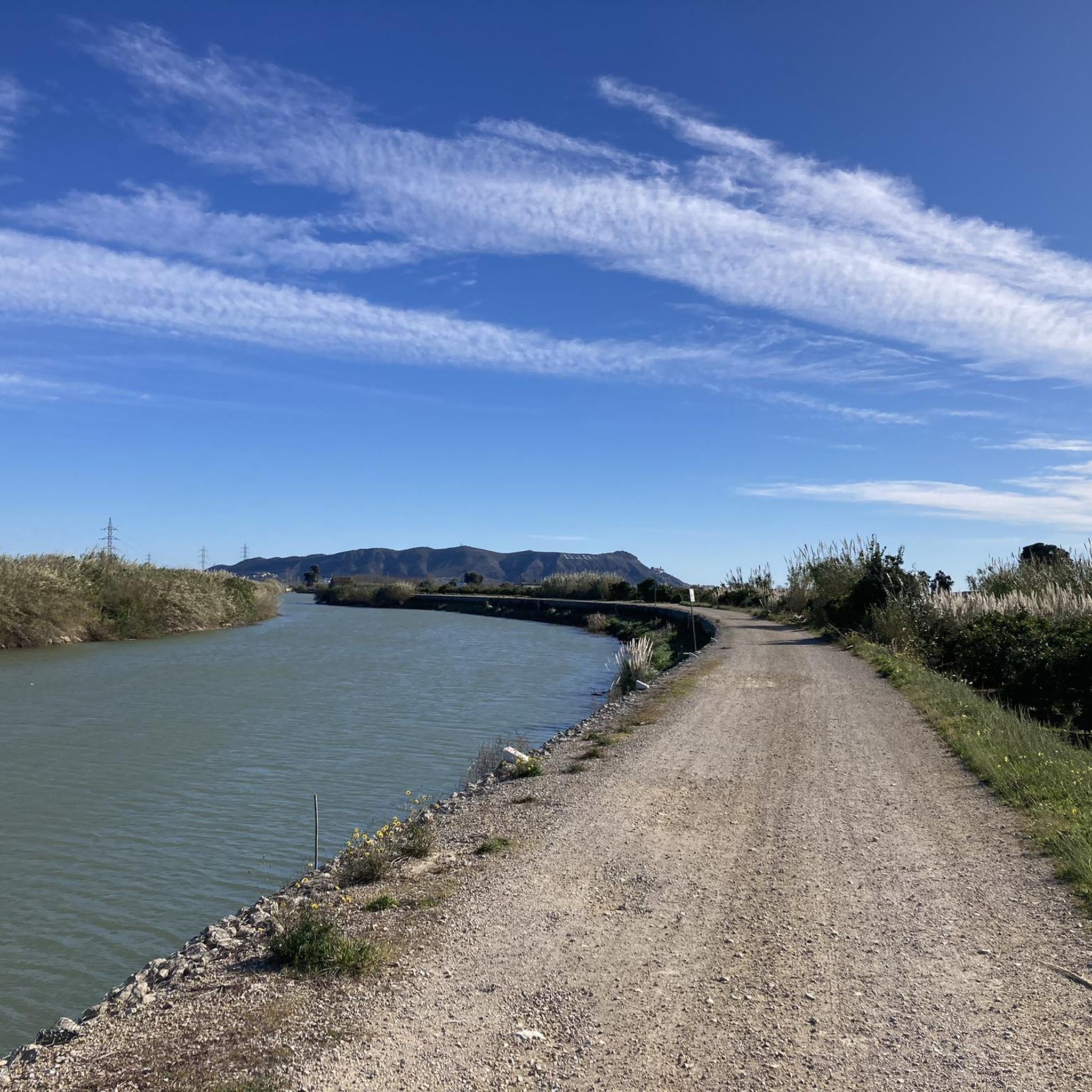
Mareny Barraquetes (in Valencian and officially, Mareny de Barraquetes) is a minor local entity of the Valencian Community, Spain, belonging to the province of Valencia. Formerly a district of the municipality of Sueca, since 1999 it has been an entity of territorial scope below the municipality (EATIM) belonging to said municipal term. Mareny de Barraquetes is located in the heart of the Albufera natural park and next to the sea. The nearest towns are Sueca 7 km (kilometers) away, 28 km from Valencia and 9 km from Cullera. Its toponym mareny means ‘marshland’, that is, an area very close to the sea and easily flooded. For its part, the term barraquetes indicates the type of habitat that was frequent throughout the area, huts built with reeds and mud, materials from the marshes and the dune cordon. The historical origin of the first human settlements in this area dates back to the period of Roman domination, when the Phocaean colonies were established near Sicania, with El Mareny de Barraquetes being one of them. It survived through the centuries, as an alquería, thus reaching the first historical antecedents, which are found in the first census of inhabitants that was made in Sueca in 1795, by governmental order for the preparation of the conscription, as Spain was at war against Revolutionary France of the Directory (1793-1795). Likewise, until the 1845 census, we do not have a specific list of residents from El Mareny, with nine huts. Its inhabitants are mainly engaged in agriculture. In the last century, the population nucleus based its economy mainly on fishing. There were three fishing settlements where families lived who were dedicated to freshwater fishing (in the canals coming from the Júcar). Until recently, there was a fishing settlement where this work continued, but with modern facilities.
0
0

Overview along the coast to Denia
1
0
The Royal Monastery of Santa Maria de Valldigna was founded by James II the Just on March 15, 1298, who gave the Alfàndec valley to Abbot Bononat of Vila-seca to found a monastery of the Cistercian order, a branch of the Santes Creus monastery. It was the first monastery of such importance built in the ancient Kingdom of Valencia, after the Christian conquest. Days after the royal donation, James II, brother Bononat and his entourage met at the place of Ràfol (a Christian village in the valley founded after the conquest of James I) to take possession of the territory, plus one mile inland, the castles of Marinyén, Alcalà and the tower of Mondúber.
1
0
Frequently Asked Questions
What kind of terrain can I expect on road cycling routes near Fortaleny?
Fortaleny itself is characterized by a completely flat municipality, making it ideal for smooth, high-speed rides through expansive rice and orange groves. The River Júcar also offers flat routes along its banks. However, the wider Valencian Community, where Fortaleny is located, provides access to more varied terrain, including the Sierra de Corbera range to the north, offering more challenging climbs for those seeking them.
How many road cycling routes are available around Fortaleny?
There are over 75 road cycling routes available around Fortaleny, catering to various skill levels. This includes 20 easy routes, 54 moderate routes, and 5 more difficult options for experienced cyclists.
What is the best time of year for road cycling in Fortaleny?
The Valencia region, including Fortaleny, generally offers favorable conditions for road cycling for much of the year. Spring and autumn provide pleasant temperatures, while winter can also be mild. Summers can be hot, so early morning or late afternoon rides are often preferred during those months.
Are there road cycling routes suitable for beginners in Fortaleny?
Yes, Fortaleny's flat terrain makes it very suitable for beginners. There are 20 easy road cycling routes available, perfect for those looking for leisurely tours through agricultural scenery without significant climbs. These routes often follow quiet secondary roads.
Are there challenging road cycling routes for experienced cyclists?
While Fortaleny itself is flat, the broader Valencian Community offers more challenging terrain. Experienced cyclists can find routes with demanding mountain passes in nearby natural parks like the Sierra Calderona Natural Park or the Sierra de Espadán Natural Park. Within the immediate area, routes like Cullera Lighthouse – La Visteta Viewpoint loop from Sueca offer moderate challenges with over 500 meters of elevation gain.
Can I find circular road cycling routes around Fortaleny?
Yes, many of the road cycling routes around Fortaleny are designed as loops, allowing you to start and finish in the same location. Examples include the popular Cullera Lighthouse – Barraca Roundabout loop from Sueca and the Ateneo Sueco del Socorro loop from Sueca, which take you through coastal scenery and agricultural heartlands.
What natural landmarks can I see along road cycling routes near Fortaleny?
The region offers several natural highlights. You can cycle along the banks of the River Júcar, which forms a natural boundary to Fortaleny. Further afield, you might encounter natural monuments like Font del Garrofer or explore the unique landscape around Cova de la Galera. The expansive rice and orange groves themselves are a defining natural feature of the landscape.
Are there any cultural or historical sites to explore while cycling?
Yes, cycling routes in the region often pass through charming villages, offering opportunities to explore local culture. In Fortaleny, the Parish Church of Saint Anthony the Abbott is a notable local monument. Routes like Xàtiva Cathedral – Ateneo Sueco del Socorro loop from Sueca can lead you past significant historical sites such as the Xàtiva Cathedral.
What do other road cyclists say about the routes in Fortaleny?
The road cycling routes around Fortaleny are highly rated by the komoot community, with an average score of 4.9 stars from over 160 reviews. More than 5,000 road cyclists have used komoot to explore the varied terrain, often praising the smooth, quiet roads through picturesque agricultural landscapes and the diverse options for different skill levels.
Are there options for parking when starting a road cycling route in Fortaleny?
While specific parking information for each route start point isn't detailed, Fortaleny and surrounding towns like Sueca, which are common starting points for many routes, typically offer public parking options. It's advisable to check local parking availability in the specific village you plan to start from.
Are there places to stop for refreshments or food along the cycling routes?
Yes, many road cycling routes in the Fortaleny area pass through or near charming villages and towns. These offer opportunities to stop at local cafes, pubs, or restaurants for refreshments and food. The region's agricultural heartlands mean you'll often find local produce and traditional Valencian cuisine available.
Are there family-friendly road cycling routes in Fortaleny?
Absolutely. The predominantly flat terrain and quiet secondary roads through the agricultural heartlands make Fortaleny an excellent location for family-friendly road cycling. The 20 easy routes are particularly suitable for families looking for a relaxed and safe cycling experience.
How does the River Júcar influence road cycling routes in the area?
The River Júcar forms a natural boundary to the north and east of Fortaleny, and its banks provide excellent, flat routes for road cyclists. These routes offer scenic views of the river and the surrounding agricultural landscape, making for pleasant and easy rides. The river also contributes to the lushness of the rice and orange groves you'll cycle through.
Most popular attractions around Fortaleny

Get inspired with the komoot mobile app


Explore more
Browse the best Road cycling routes in other regions.
