The best running trails around Ampuero
4.8
(12)
1,485
runners
85
runs
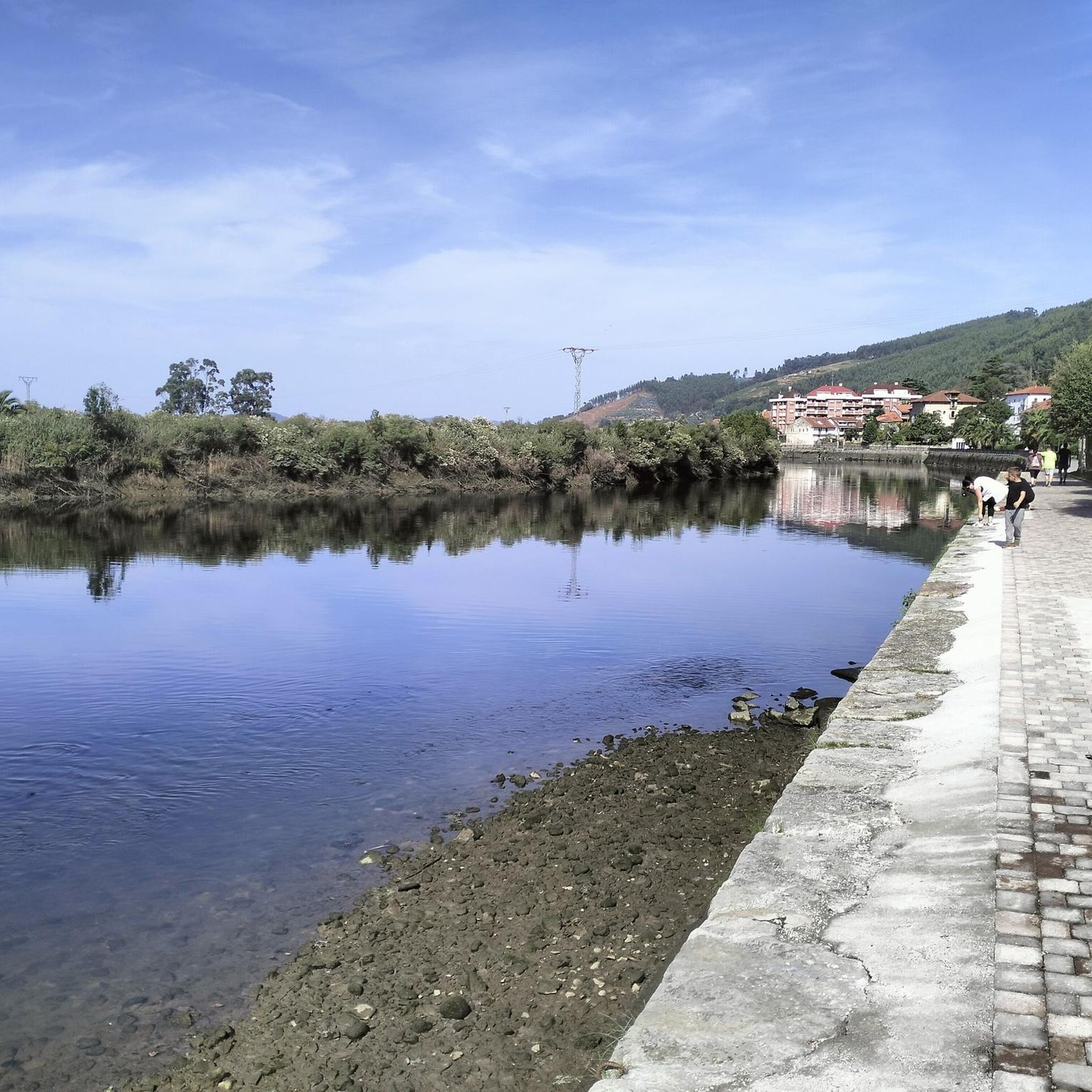
Jogging around Ampuero offers diverse terrain, characterized by the fertile meadows of the Asón River valley and surrounding limestone mountains. The region features a mix of relatively flat riverbanks and challenging inclined routes through hills and forests. Its strategic location also provides access to coastal paths, offering varied scenery for runners. This combination of river, mountain, and coastal influences creates a dynamic environment for outdoor activity.
Best jogging routes around Ampuero
- The most popular jogging route is Sanctuary of the…
Last updated: July 1, 2026
11
runners
9.48km
01:04
250m
250m
Moderate run. Good fitness required. Mostly paved surfaces. Suitable for all skill levels.
10
runners
20.8km
02:13
210m
210m
Hard run. Very good fitness required. Mostly paved surfaces. Suitable for all skill levels.

Sign up for free
8
runners
5.20km
00:33
40m
40m
Moderate run. Good fitness required. Mostly paved surfaces. Suitable for all skill levels.
10
runners
20.2km
02:33
680m
680m
Hard run. Very good fitness required. Mostly paved surfaces. Suitable for all skill levels.
4
runners
11.5km
01:17
240m
240m
Moderate run. Good fitness required. Mostly paved surfaces. Suitable for all skill levels.
Get access to more routes and recommendations from other explorers.
Sign up for free
Already have an account?
Our route recommendations are based on thousands of hikes, rides, and runs completed by other people on komoot.
Start today with a free account
Your next adventure awaits.
Login or Signup
Tips from the Community

It is a good hike to get to know two small but very beautiful villages with very friendly people
0
0

Award-winning Hencina follow as far as the Hermitage
0
0

Beautiful and well-kept sanctuary located in a beautiful setting. It houses the image of La Bien Aparecida, patron saint of Cantabria. Free access. Outside is La Solana restaurant, with very good reviews.
1
0

Also known as "high cairn", the menhir is approximately 3 meters high and is made of sandstone. It is estimated that it was buried by the inhabitants of the area more than 5,000 years ago.
2
0


An easy site, but demanding in some points, for the road bike. With impressive views.
1
0
Frequently Asked Questions
How many running routes are available in Ampuero?
Komoot offers a wide selection of running routes around Ampuero, with over 90 trails to choose from. This includes a variety of options suitable for different fitness levels and preferences.
What kind of terrain can I expect on running routes around Ampuero?
The terrain around Ampuero is quite diverse, offering something for every runner. You'll find relatively flat and scenic paths along the Asón River and its fertile meadows, as well as more challenging, inclined routes through limestone mountains and hills. The area also features wooded sections with pine, eucalyptus, and native holm oak trees, providing shaded trails. Its proximity to the coast means you can also access coastal paths and promenades for ocean views.
Are there running routes with good viewpoints in Ampuero?
Yes, several routes offer rewarding views. For instance, the area around the Sanctuary of Bien Aparecida, located in Hoz de Marrón, provides beautiful elevated vistas. Mount Candiano, at 500 meters altitude, offers exceptional panoramic views of the Asón estuary and the Treto and Limpias estuaries, ideal for those seeking challenging uphill runs with spectacular rewards. You can also find viewpoints like Alto de la Mina.
What do other runners enjoy most about jogging in Ampuero?
The running routes in Ampuero are highly rated by the komoot community, with an average score of 4.8 stars from more than 10 reviews. Over 1000 runners have used komoot to explore the area, often praising the varied terrain that combines river valleys, limestone mountains, and accessible coastal areas, catering to various ability levels.
Are there family-friendly jogging routes in Ampuero?
While specific family-friendly routes aren't detailed, the presence of relatively flat paths along the Asón River and its meadows suggests suitable options for families or those looking for an easier pace. These serene environments provide a pleasant setting for a leisurely run or walk with children.
Are there options for beginners or easy running routes in Ampuero?
Yes, Ampuero offers several easy running routes, with 6 trails specifically categorized as easy. These are typically found along the riverbanks and meadows, providing a gentler experience compared to the more challenging mountain climbs. For example, the Running loop from Limpias is a moderate 3.2-mile trail through river valley landscapes.
What landmarks or points of interest can I explore near the running trails?
Beyond the trails themselves, Ampuero's surroundings offer interesting landmarks. You can find several mountain passes such as Paso de Presa or Fuente Las Varas Pass. There are also notable peaks like Solpico Summit and the Peña Pando Summit and Bunker, which can be incorporated into longer runs or visited separately.
Are there circular jogging routes in Ampuero?
Many of the running routes in Ampuero are designed as loops, offering circular paths that bring you back to your starting point. An example is the popular Sanctuary of the Bien Aparecida loop from Marrón, which is a 5.9-mile trail.
What is the best time of year for running in Ampuero?
Ampuero's diverse landscapes make it suitable for running throughout much of the year. The river valleys and coastal areas are pleasant in spring and autumn, while the wooded trails offer shade during warmer summer months. For challenging mountain runs, cooler temperatures in spring and autumn might be preferred. Always check local weather conditions before heading out.
Are there challenging long-distance running trails in Ampuero?
Yes, for experienced runners seeking a challenge, Ampuero offers several difficult long-distance trails. The Ampuero Climb – Centenary Holm Oak loop from Marrón is a difficult 12.9-mile path with significant elevation gain. Another challenging option is the Menhir Yelso de Hayas loop from Marrón, which spans over 12.5 miles and features substantial elevation changes.
How can I find parking near the running trails in Ampuero?
While specific parking details for every trail are not provided, Ampuero is a municipality with various access points to its natural areas. It's generally advisable to look for parking in or near the main town of Ampuero or smaller villages like Marrón and Limpias, which serve as common starting points for many routes. Always ensure you park responsibly and legally.
Can I access running routes in Ampuero using public transport?
Ampuero is situated in the Cantabrian region of Spain, and while specific public transport links to every trailhead are not detailed, the town itself is accessible. For routes starting directly from Ampuero or nearby villages like Limpias and Marrón, local bus services might be available. It's recommended to check local public transport schedules for the most up-to-date information on reaching specific starting points.
Most popular attractions around Ampuero

Get inspired with the komoot mobile app


Explore more
Browse the best Running Trails & Routes in other regions.
