The best walks and hikes around Atzeneta Del Maestrat
4.6
(104)
1,075
hikers
62
hikes
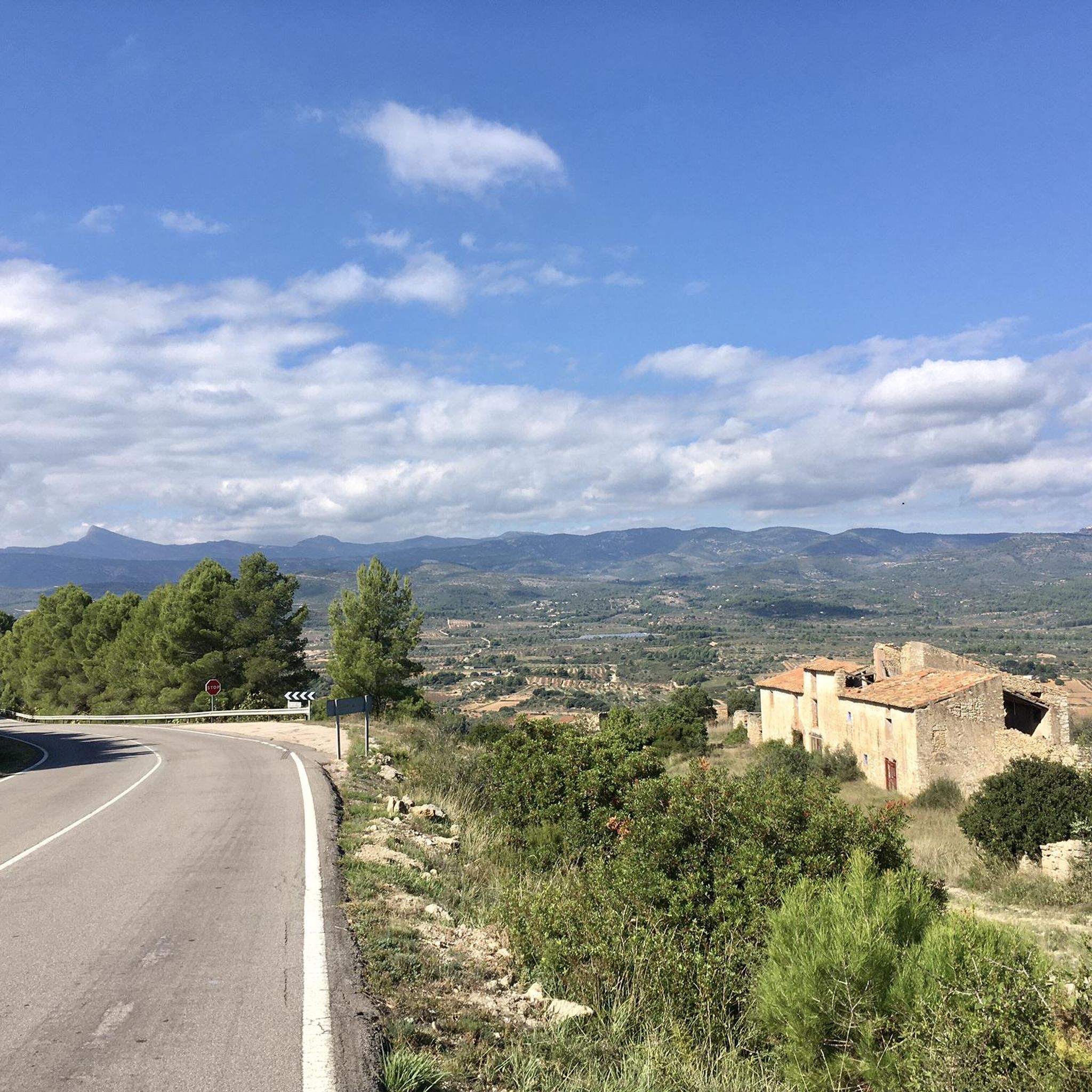
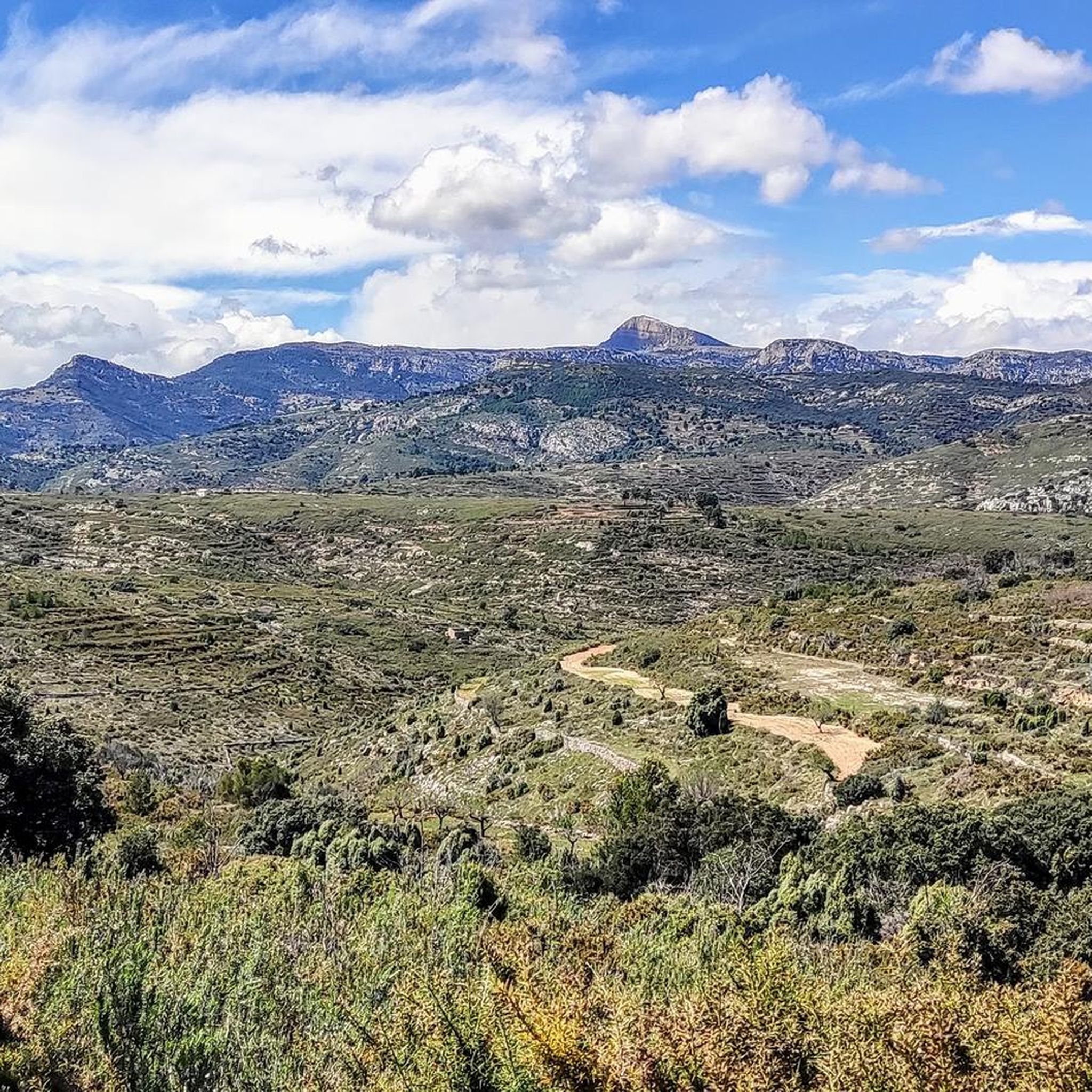
Hiking around Atzeneta Del Maestrat offers diverse landscapes, situated in an inland valley approximately 401 meters above sea level. The terrain features prominent peaks like Carril (1,201 meters) and La Nevera (1,195 meters), along with significant elevation changes. Geological formations include ravines such as Vall and Torrosselles, converging into the Castell ravine, and a rugged character defined by silicic materials and red Triassic sandstones. The area also presents picturesque white pine groves and extensive olive and almond groves.
Best hiking…
Last updated: July 9, 2026
29
hikers
19.0km
06:43
830m
830m
Hard hike. Very good fitness required. Mostly accessible paths. Sure-footedness required.
9
hikers
20.9km
07:14
810m
810m
Hard hike. Very good fitness required. Sure-footedness, sturdy shoes and alpine experience required.

Sign up for free
5.0
(1)
6
hikers
15.3km
05:07
630m
630m
Hard hike. Very good fitness required. Mostly accessible paths. Sure-footedness required.
5.0
(1)
2
hikers
12.5km
03:47
320m
320m
Hard hike. Good fitness required. Sure-footedness, sturdy shoes and alpine experience required.
3.0
(1)
7
hikers
8.63km
02:17
90m
90m
Moderate hike. Good fitness required. Easily-accessible paths. Suitable for all skill levels.
Get access to more routes and recommendations from other explorers.
Sign up for free
Already have an account?
Our route recommendations are based on thousands of hikes, rides, and runs completed by other people on komoot.
Start today with a free account
Your next adventure awaits.
Login or Signup

Tips from the Community

It is very soft but beautiful
0
0

Penyagolosa is known for its stunning panoramic views and is a popular destination for hiking enthusiasts. The route to the summit will take you through pine forests and rocky terrain, offering a unique experience in contact with nature. In addition, at the base of the mountain is the hermitage of Sant Joan de Penyagolosa, an important pilgrimage destination.
3
0

More than a castle, it looks like a hermitage. It is located on a hill and therefore has wonderful views of Alto Maestrazgo.
0
0
El Marinet Peak is a mountain located in the town of Chodos (Xodos), in the province of Castellón, Valencian Community. With an altitude of 1,466 metres, it is a popular destination for hiking and trail running enthusiasts.
3
0

Chodos (in Valencian Xodos) is a municipality in the region of Alcalatén (Castellón). In the center of the town is its castle, of which only the remains of a tower and walls remain.
1
0
It is a complex of Arab origin that was used by Christians for defensive purposes. Currently, the hermitage and the walled enclosure still exist and are in good condition.
9
0

Municipality of the Alto Maestrazgo region, in the province of Castellón (Valencian Community). The place name comes from Arabic, and refers to the Berber tribe of the Zenatas. The abundant archaeological remains of the place explain its long history, from Iberian ceramics to the Arab castle and medieval walls. The remains of the medieval walls and the castle of Adzaneta, or the Torre de la Presó, form part of its cultural heritage. The current town hall, formerly a hospital and Palace of the Commander of the Setena Culla during the 16th century, is also a historic building.
0
0
Population of the Alcalatén region, in the province of Castellón (Valencian Community), very popular as a hiking and cycling destination, due to its proximity to the Penyagolosa National Park. The origin of Xodos is Arab, and after the Reconquest, King Jaume I granted the lordship to the Aragonese nobleman Ximén de Urrea. The cultural heritage of Xodos includes the parish church of San Pedro Mártir, from the 17th century, which has a nave with three altars and a bell tower, and the castle and walls of Xodos. It is believed that the whole municipality was surrounded by a wall, of which now only the tower of homage remains. The geographical location of Xodos, perched on a rock mass on a precipice above the Alcalatén river valley, was of great strategic importance. The fortification allowed the defense of one of the natural routes that communicated with Aragon.
0
0
Frequently Asked Questions
What kind of terrain can I expect when hiking in Atzeneta Del Maestrat?
Atzeneta Del Maestrat offers a diverse and rugged landscape. You'll encounter prominent peaks like Carril (1,201 meters) and La Nevera (1,195 meters), deep ravines such as Vall and Torrosselles, and geological formations characterized by silicic materials and red Triassic sandstones. The area also features picturesque white pine groves, especially in the Bovalar region, and extensive olive and almond groves, providing varied scenery.
How many hiking trails are available in Atzeneta Del Maestrat?
There are over 60 hiking routes available in Atzeneta Del Maestrat, catering to various skill levels. This includes 10 easy routes, 37 moderate routes, and 19 difficult routes, ensuring options for everyone from casual walkers to experienced trekkers.
Are there any family-friendly hiking options in Atzeneta Del Maestrat?
Yes, Atzeneta Del Maestrat offers trails suitable for families. While specific 'easy' routes are available, many paths provide access to natural beauty and historical heritage without being overly strenuous. For example, parts of the 'Paseo por las Pozas del Castell' offer picturesque views and are generally accessible.
What are some notable natural features or landmarks to see while hiking?
Hikers can explore several significant natural and historical landmarks. The Penyagolosa Summit is a major draw, offering expansive views. You can also discover the Cova de Pere Tomàs, a rock shelter with a Bronze Age petroglyph, or visit the 16th-century defensive fortification of El Castell and its adjacent chapel within the El Castell Natural Municipal Park.
Are there any circular hiking routes in the region?
Yes, Atzeneta Del Maestrat features several circular routes. A notable option is the Xodos – Penyagolosa Summit loop from Xodos, which is a challenging 19.0 km trail. Another is the Pico El Marinet – Xodos loop from Xodos / Chodos, a 15.8 km route through mountainous terrain.
What is the best time of year to go hiking in Atzeneta Del Maestrat?
The region's diverse landscape makes it suitable for hiking across multiple seasons. Spring and autumn generally offer the most pleasant temperatures for exploring. However, the mountainous character means conditions can vary, so checking local weather forecasts is always recommended.
What do other hikers enjoy most about hiking in Atzeneta Del Maestrat?
The area is highly rated by the komoot community, with an average score of 4.5 stars from over 90 reviews. Hikers frequently praise the diverse landscapes, from challenging mountain peaks to serene pine and olive groves, and the extensive network of trails that cater to various abilities.
Are there any routes that connect Atzeneta Del Maestrat with neighboring villages?
Yes, the region is known for its interconnected trails. The 'Route of the Penyagolosa villages' specifically links Atzeneta Del Maestrat with nearby communities such as Benafigos and Xodos, offering longer, multi-village hiking experiences.
Can I find routes that lead to higher peaks for expansive views?
Absolutely. The area is characterized by significant peaks. The Xodos – Penyagolosa Summit loop from Xodos provides access to the significant Penyagolosa mountain. Additionally, the 'La Nevera route' leads to one of the higher peaks, offering challenging climbs and rewarding vistas.
Are there any historical sites accessible via hiking trails?
Yes, hiking in Atzeneta Del Maestrat often combines natural beauty with historical heritage. You can visit the archaeological remains of an Iberian settlement at Ermita de San Juan within El Castell Natural Municipal Park, or explore the ancient Sant Joan de Penyagolosa Sanctuary, which is a significant religious building in the area.
What is the difficulty level of most trails in Atzeneta Del Maestrat?
While there are 10 easy routes, the majority of trails in Atzeneta Del Maestrat are categorized as moderate (37 routes) or difficult (19 routes). This reflects the region's mountainous and rugged character, offering substantial challenges for experienced hikers, such as the Xodos – Más de la Cambreta loop from Xodos.
Are there any unique geological features to observe on the trails?
The geological formations are a key aspect of the landscape. You can observe ravines like Vall and Torrosselles, which converge to form the Castell ravine. The broader Castelló interior, part of the Iberian Range, is characterized by silicic materials such as red Triassic sandstones, creating a rugged landscape with steep slopes and rocky outcrops.
Most popular routes around Atzeneta Del Maestrat
Most popular attractions around Atzeneta Del Maestrat

Get inspired with the komoot mobile app


Explore more
Browse the best Hikes in other regions.
