The best walks and hikes around Camprovín
4.6
(162)
1,027
hikers
63
hikes
Hiking around Camprovín offers access to the diverse landscapes of La Rioja, situated on the slopes of the Serradero Mountains and at the foot of the Moncalvillo and Sierra ranges. The region features high mountain terrain, lush forests, and views over the Najerilla Valley. These varied environments provide a range of hiking experiences.
Best hiking trails around Camprovín
- The most popular hiking route is Camino Francés: Nájera and Alesón Loop, a 9.7 miles (15.5 km) trail that takes 4…
Last updated: July 4, 2026
5.0
(1)
1
hikers
15.5km
04:14
220m
220m
Hike a moderate 9.6-mile circular route near Nájera, exploring historic sites like the Monastery of Santa Helena and the legendary Poyo de R
27.3km
08:21
930m
930m
This difficult 16.9-mile hike in Sierra de Moncalvillo leads through diverse forests to historic ice pits, offering panoramic views.

Sign up for free
4.8
(4)
43
hikers
11.3km
03:04
170m
170m
Moderate hike. Good fitness required. Easily-accessible paths. Suitable for all skill levels.
5.0
(4)
14
hikers
16.4km
05:02
570m
570m
Hard hike. Very good fitness required. Easily-accessible paths. Suitable for all skill levels.
4.0
(1)
11
hikers
7.22km
01:52
40m
40m
Easy hike. Great for any fitness level. Easily-accessible paths. Suitable for all skill levels.
Get access to more routes and recommendations from other explorers.
Sign up for free
Already have an account?
Our route recommendations are based on thousands of hikes, rides, and runs completed by other people on komoot.
Start today with a free account
Your next adventure awaits.
Login or Signup

Tips from the Community

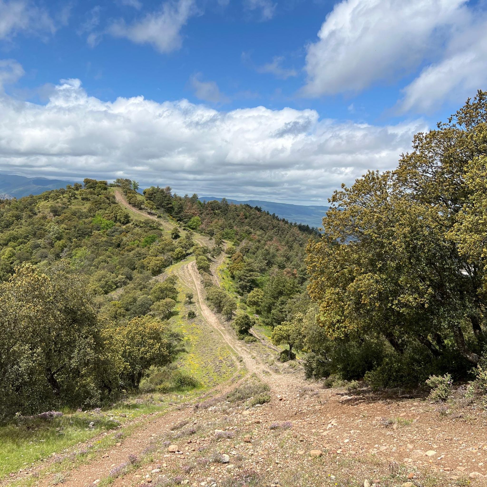
A beautiful village in the Sierra Riojana mountains. From here, you can take many hikes through the surrounding forests.
0
0

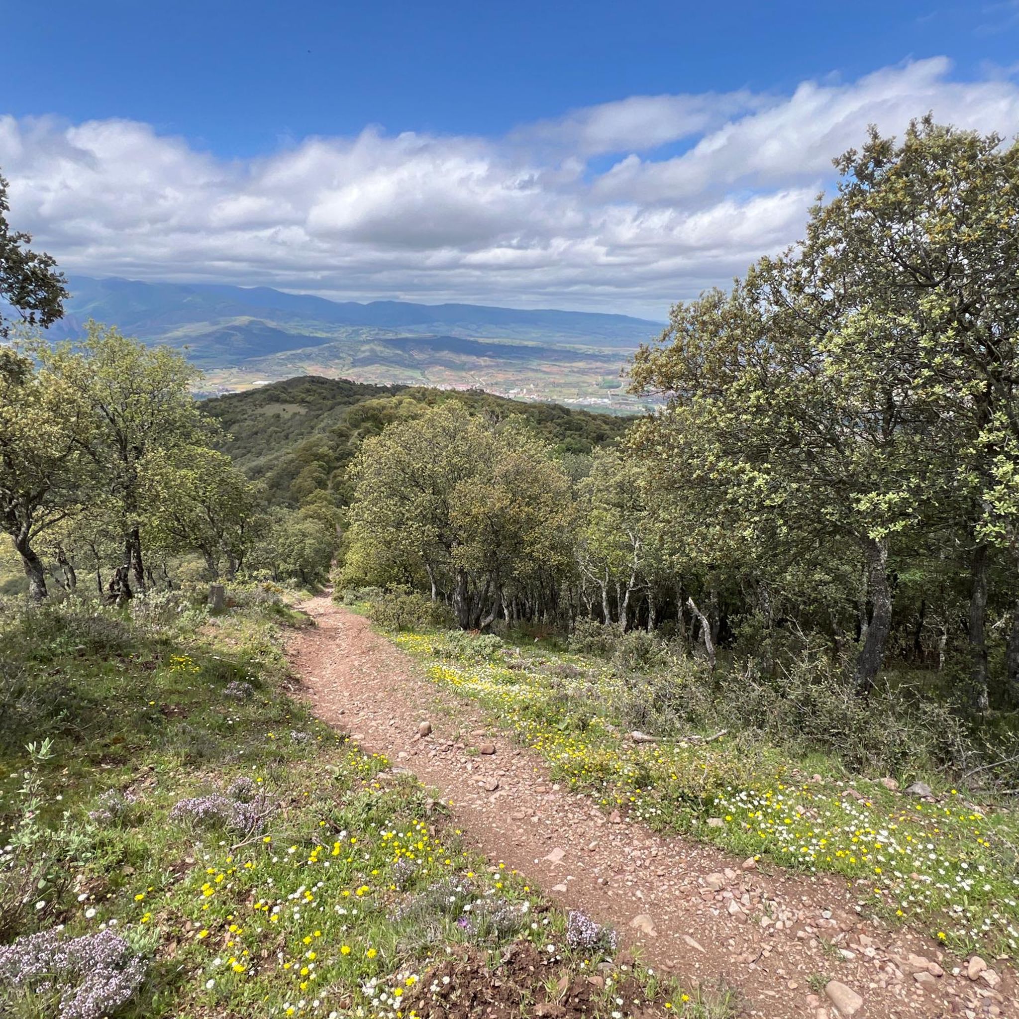
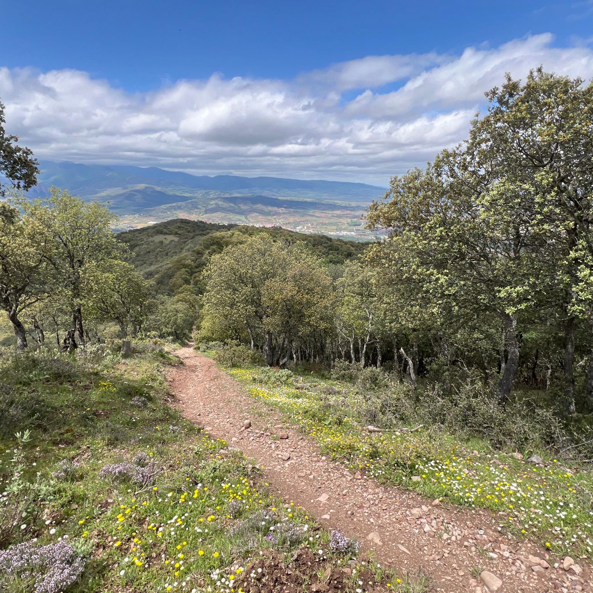
A hill that has its own legend: in the castle of Nájera lived Farragut or Ferragut, a Syrian giant descended from Goliath and stronger than him, who fought and defeated the best warriors of Charlemagne except Roldán, who one day from the poyo spotted the giant sitting at the door of his castle. Roldán picked up a round stone weighing two arrobas (~22kg) and threw it in the direction of the giant, whom he hit in the forehead, knocking him down. Since then the hill has been called Poyo de Roldán.The stone hut is likely a traditional stone vineyard shelter.
2
0
Stone bridge over the river leading to the oldest part of the town. Albergue Puerta de Nájera is to the right just after the bridge.
0
0

On the Caminos, there are often kilometer markings on monoliths, painted on house walls or in the form of wooden posts along the way, indicating how far it is to Santiago de Compostela.
0
0
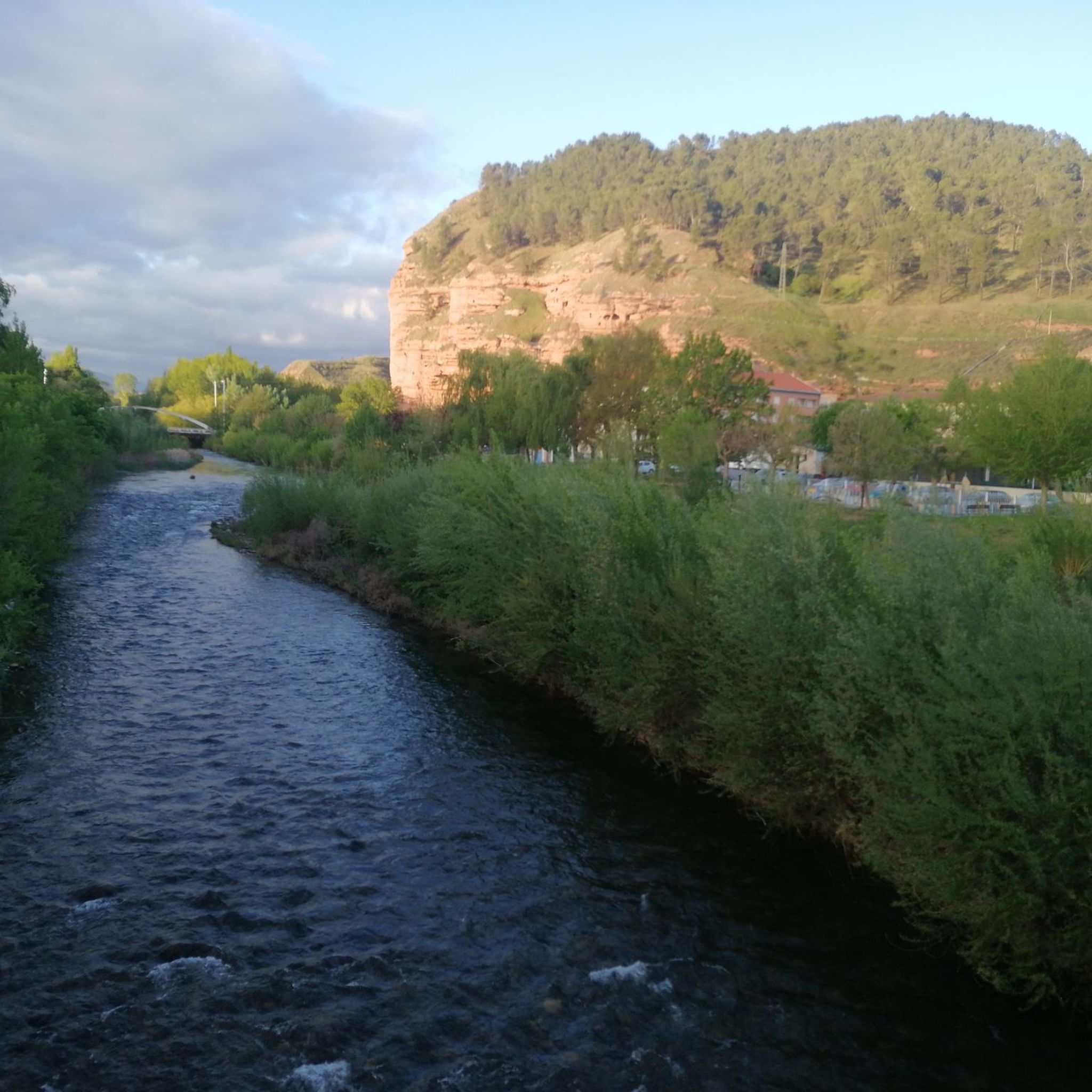
Nájera is a small town on the Way of St. James with a remarkable monastery. The bustling town is the district capital, but it is difficult to imagine that Nájera was once the capital of La Rioja in the Middle Ages. The historic old town lies on the western bank of the small Najerilla river, which divides the city into two unequal halves. https://reisen-nach-spanien.com/la-rioja/najera
2
0
On the 8th stage of the Camino Francés from Logroño to Najéra, the Camino crosses this wooden bridge about 3 km before Najéra.
0
0
Frequently Asked Questions
How many hiking trails are available around Camprovín?
There are over 60 hiking routes around Camprovín, offering a wide range of experiences. These include 29 easy trails, 28 moderate routes, and 7 challenging hikes, ensuring options for all skill levels.
What kind of landscapes can I expect to see while hiking near Camprovín?
Hiking around Camprovín offers diverse landscapes, from the mountainous terrain of the Serradero, Moncalvillo, and Sierra ranges to the lush beech forests. You'll also find picturesque views over the Najerilla Valley, with the River Najerilla flowing nearby, providing a rich variety of natural beauty.
Are there any easy, family-friendly hikes around Camprovín?
Yes, there are 29 easy routes suitable for families. A good option for a gentle walk is the Park on the riverbank (Nájera) loop from Nájera, which is 7.2 km long and takes less than two hours to complete, offering a pleasant experience along the river.
Are there any circular hiking routes available near Camprovín?
Many of the trails around Camprovín are circular. For example, the Camino Francés: Nájera and Alesón Loop is a moderate 15.5 km circular route, and the more challenging Moncalvillo and Las Neveras Loop covers 27.3 km, both starting and ending in the same general area.
What are some notable landmarks or attractions I can visit while hiking in the area?
The region around Camprovín is rich in historical and natural landmarks. You can explore the historic San Millán de la Cogolla Monastery or the Suso and Yuso Monasteries. For natural viewpoints, consider trails that lead to peaks like Alto de Moncalvillo or LasNeveras, offering stunning vistas of the surrounding mountains.
What is the best time of year to go hiking around Camprovín?
The diverse landscapes of Camprovín make it suitable for hiking across multiple seasons. Spring and autumn generally offer pleasant temperatures and vibrant scenery, with lush forests and comfortable conditions. Summer can be warm, especially at lower elevations, while winter hikes are possible, particularly on less exposed routes, though higher mountain areas may require appropriate gear for snow or ice.
Are there any dog-friendly hiking trails in Camprovín?
Many trails in the natural areas around Camprovín are suitable for hiking with dogs, provided they are kept under control, often on a leash, to respect wildlife and other hikers. It's always recommended to check local regulations or signage for specific trails, but generally, the region's open spaces welcome well-behaved dogs.
What do other hikers say about the trails in Camprovín?
The trails around Camprovín are highly regarded by the komoot community, with an average rating of 4.6 out of 5 stars from over 140 reviews. Hikers often praise the unspoilt nature, the variety of landscapes from mountains to forests, and the stunning views over the Najerilla Valley.
Are there any challenging hikes for experienced trekkers?
Yes, for experienced trekkers, there are 7 difficult routes. The Castroviejo – PiedraHincada(II) loop from Castroviejo is a challenging 16.4 km trail with significant elevation gain, offering a rewarding experience through mountainous terrain.
Is public transport available to reach hiking areas near Camprovín?
While Camprovín itself is a small municipality, public transport options in the broader La Rioja region can connect you to nearby towns like Nájera, which serves as a starting point for several trails. From these towns, you may need to rely on local services or personal transport to reach specific trailheads further into the natural areas.
Are there viewpoints along the hiking trails where I can enjoy scenic vistas?
Absolutely. The region is known for its scenic beauty. Many trails offer wonderful viewpoints overlooking the Najerilla Valley. Additionally, specific highlights like LasNeveras are designated viewpoints, providing panoramic vistas of the surrounding mountains and forests.
Most popular attractions around Camprovín

Get inspired with the komoot mobile app


Explore more
Browse the best Hikes in other regions.
