The best walks and hikes in Lichtenfels
4.6
(17789)
59,683
hikers
1,943
hikes
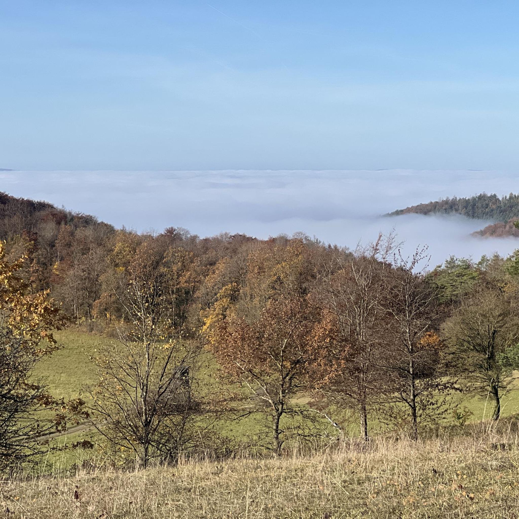
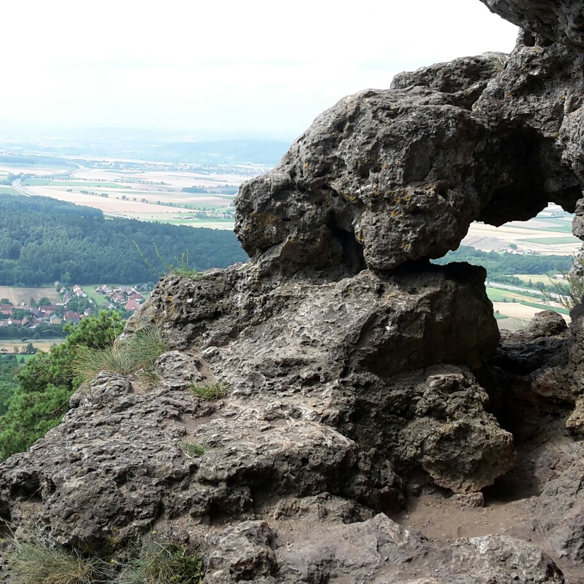
Hiking in Lichtenfels, Germany, offers diverse terrain across picturesque valleys, rolling hills, and dense forests. The region is characterized by its natural features, including the Main-Danube Canal, the prominent Staffelberg hill, and unique rock formations like the Hohler Stein. Numerous trails explore these landscapes, providing varied experiences for outdoor enthusiasts.
Best hiking trails in Lichtenfels
- The most popular hiking route is Pfersag Waterfall – Rock cellars in the Ebnet Forest loop from Burgkunstadt, a 5.4 miles (8.6 km) trail…
Last updated: September 30, 2026
4.7
(402)
1,079
hikers
8.69km
02:20
110m
110m
Moderate hike. Good fitness required. Easily-accessible paths. Suitable for all skill levels.
4.8
(341)
1,158
hikers
5.45km
01:47
250m
250m
Easy hike. Great for any fitness level. Easily-accessible paths. Suitable for all skill levels.

4.6
(210)
608
hikers
Easy hike. Great for any fitness level. Easily-accessible paths. Suitable for all skill levels.
4.5
(263)
884
hikers
Easy hike. Great for any fitness level. Easily-accessible paths. Suitable for all skill levels.
4.8
(696)
2,491
hikers
11.2km
03:12
240m
240m
Moderate hike. Good fitness required. Mostly accessible paths. Sure-footedness required.
4.8
(534)
1,542
hikers
Moderate hike. Good fitness required. Easily-accessible paths. Suitable for all skill levels.
4.8
(307)
1,112
hikers
5.07km
01:37
220m
220m
Easy hike. Great for any fitness level. Easily-accessible paths. Suitable for all skill levels.
4.8
(573)
1,642
hikers
12.6km
03:33
250m
250m
Moderate hike. Good fitness required. Easily-accessible paths. Suitable for all skill levels.
4.8
(176)
559
hikers
18.9km
05:25
440m
440m
Hard hike. Very good fitness required. Mostly accessible paths. Sure-footedness required.
4.7
(122)
369
hikers
8.30km
02:18
140m
140m
Moderate hike. Good fitness required. Easily-accessible paths. Suitable for all skill levels.
Get access to more routes and recommendations from other explorers.
Already have an account?
Our route recommendations are based on thousands of hikes, rides, and runs completed by other people on komoot.
Other adventures in Lichtenfels


Tips from the Community

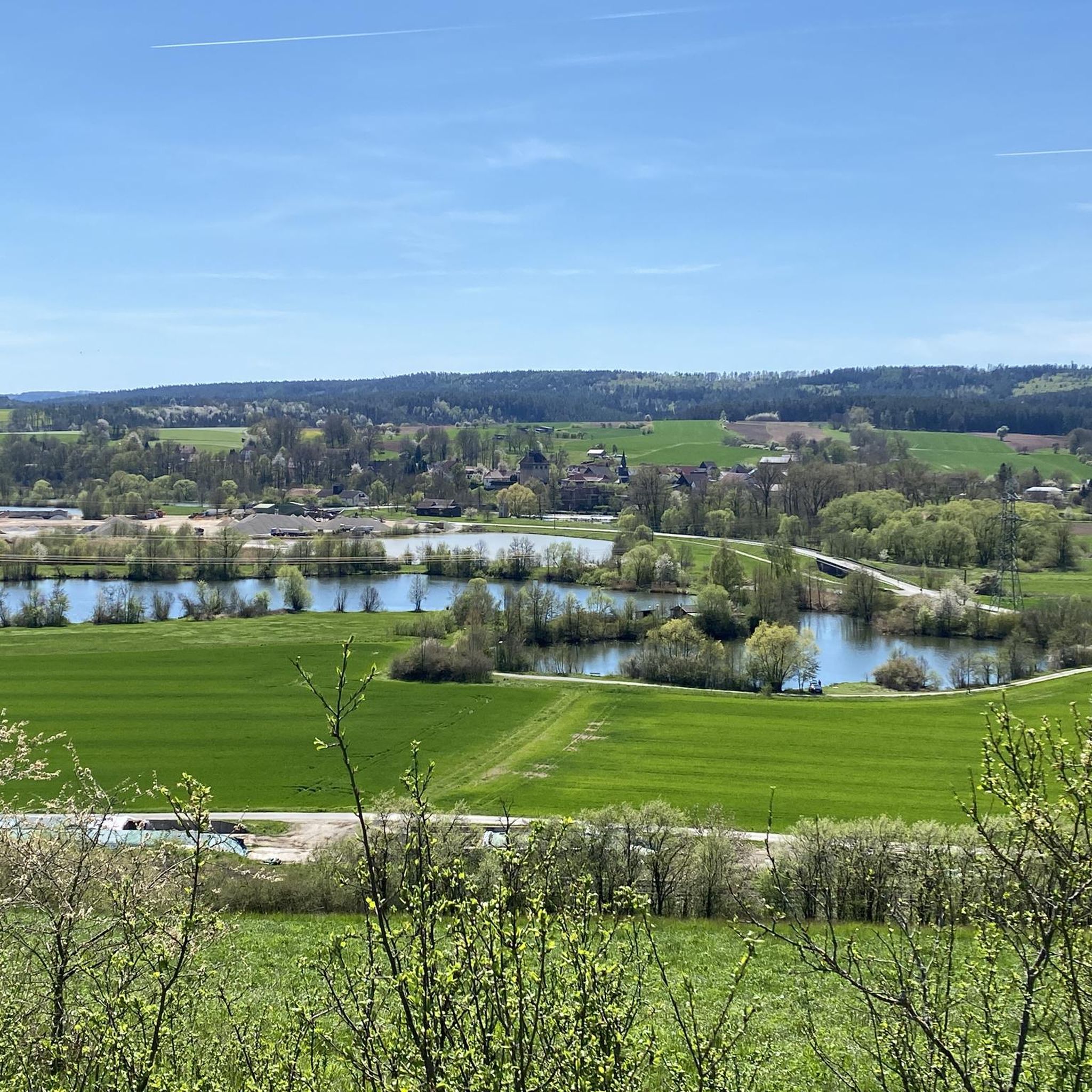
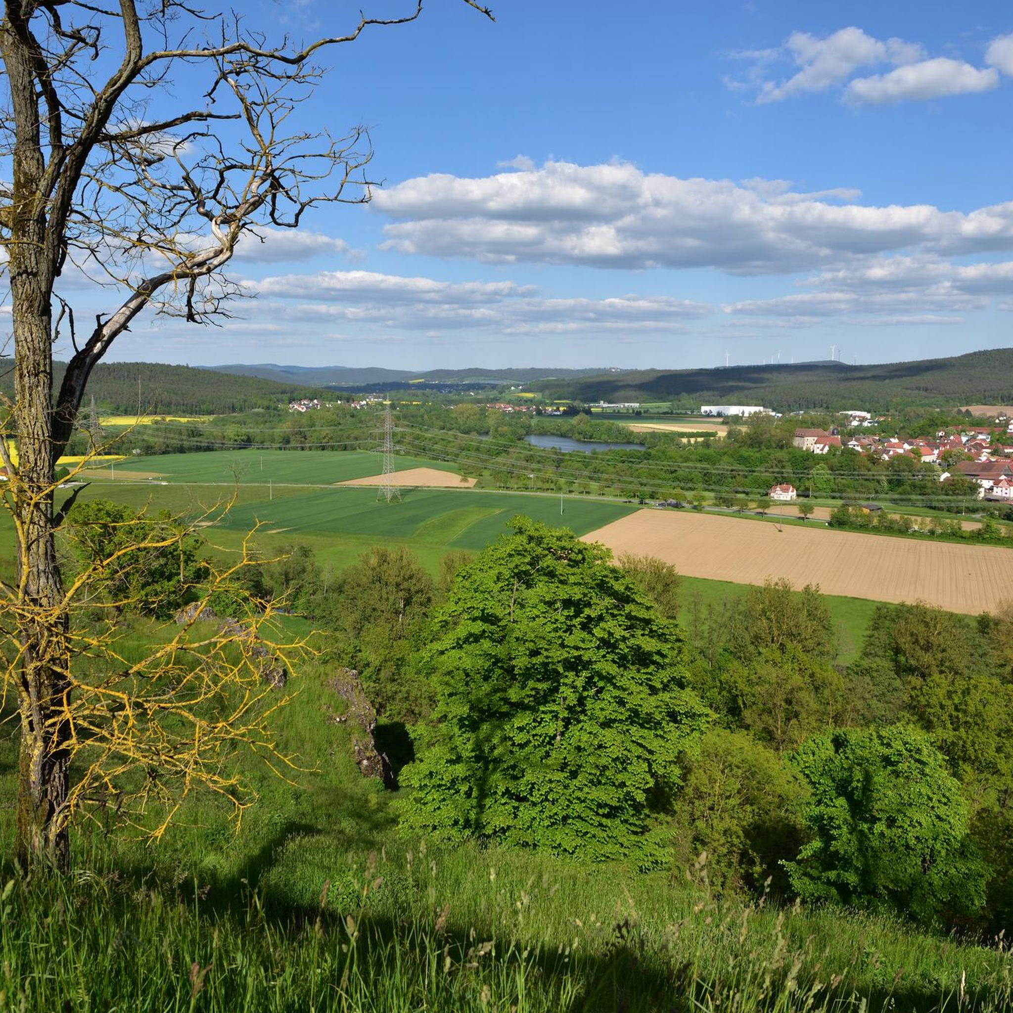
From this viewpoint, there is a beautiful view of the Riedsee lake and the surrounding landscape. Especially in calm weather, the water surface, together with the meadows and forests of the surroundings, appears pleasantly idyllic. A rather quiet highlight away from the major sights and thus a nice stopover on a hike around the Obermain. Especially in good weather, it is worth stopping for a moment and letting your gaze wander over the lake.
6
0
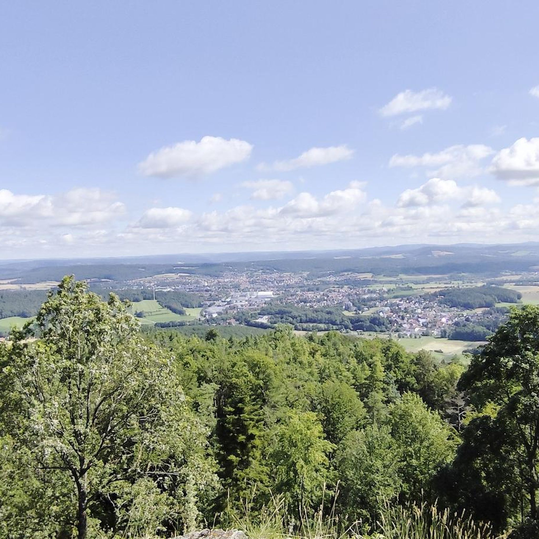
From the Staffelberg, you get one of the most beautiful views in the Gottesgarten am Obermain. From the high plateau, your gaze sweeps far over the Main valley and the varied landscape around Bad Staffelstein and Lichtenfels. With good visibility, numerous striking elevations and places in the region can be recognized. Particularly charming is the view over the rolling hills and forests of the Obermainland – a view that quickly makes you forget the climb. An ideal place for a break and to simply let the landscape sink in.
3
0
The Staffelberg is one of the best-known viewpoints in Gottesgarten am Obermain – and rightly so. From the high plateau, wide views open up over the Maintal valley and the surrounding Franconian landscape. The view across to the striking elevations of the surrounding area is particularly beautiful. With good visibility, the view extends far beyond the Obermain and quickly makes it clear why the Staffelberg is one of the classic destinations in this region. On the plateau, you will also find the Staffelbergklause, which is well-suited for a stop during your hike. Together with the Basilica of Vierzehnheiligen and Banz Monastery, the Staffelberg forms the well-known trinity of Gottesgarten am Obermain. An absolute highlight of the region – and a viewpoint that is definitely worth the climb.
6
0
The fountain in the spa park of Bad Staffelstein is a nice little stopover if you are passing through the spa park. Well-maintained paths and green spaces all around invite you to linger for a short while. Particularly practical after a hike: You can take a short break here before continuing on – and the spa park is centrally located in Bad Staffelstein and thus in the middle of the Gottesgarten am Obermain. A rather small highlight, but definitely nice for a short breather on the tour.
6
0
High above the Obermain, the impressive Basilica of Vierzehnheiligen towers – one of the most famous buildings of Franconian Baroque and part of the classic trio in the Gottesgarten am Obermain. The Franciscan monastery adjoins the basilica directly. Those looking for a Franconian specialty after their visit can try the well-known Nothelfer Bier at the Trunk brewery, not far from the basilica. Vierzehnheiligen can be easily reached from Lichtenfels on foot and is also well connected by bus. A large car park is also located in the immediate vicinity of the basilica. A highlight that is perfectly suited as a hiking destination as well as a short stopover in the Gottesgarten am Obermain. Opening hours of the basilica: ☀️ May to September: 06:30–19:00 ❄️ October to April: 07:30–17:00 Please note: The opening hours are not automatically equivalent to the visiting hours. During services and liturgical celebrations, the basilica is closed for visits. A church cleaning also takes place on Thursdays from 09:00–16:00. (vierzehnheiligen.de)
6
0


You can do everything here. Whether hiking, jogging, biking, fishing or swimming. The lake can be easily circled and you can also find a quiet spot to relax.
11
5

There are many signposted hiking trails on and around the Staffelberg.
0
0
Frequently Asked Questions
How many hiking trails are available in Lichtenfels?
Lichtenfels offers a vast network of nearly 2,000 hiking trails. These routes cater to all skill levels, with over 1,000 easy trails, more than 800 moderate options, and around 80 challenging routes for experienced hikers.
Are there any family-friendly hiking trails in Lichtenfels?
Yes, Lichtenfels has several family-friendly options. The region research highlights a circular hiking trail around the Ratzenbergsee lake, which is particularly recommended for families, leading through wooded areas and past the lake. Many of the easy routes, such as the View of the Riedsee – View of Staffelberg loop from Bad Staffelstein, are also suitable for families.
What are the best seasons for hiking in Lichtenfels?
Spring and autumn are generally considered the best seasons for hiking in Lichtenfels. During these times, temperatures are pleasant, and nature displays its full splendor, from blooming flowers in spring to vibrant autumnal foliage.
Are there any circular hiking routes in Lichtenfels?
Yes, many trails in Lichtenfels are designed as loops. For example, the popular Pfersag Waterfall – Rock cellars in the Ebnet Forest loop from Burgkunstadt is a moderate circular route. Another great option is the Staffelberg – View of Kloster Banz loop from Staffelberg, which offers panoramic views.
Can I find trails with waterfalls in Lichtenfels?
Yes, the region features natural attractions like the Pfersag Waterfall. You can explore this on the Pfersag Waterfall – Rock cellars in the Ebnet Forest loop from Burgkunstadt, a moderate 5.4-mile (8.6 km) trail.
What kind of natural landmarks or viewpoints can I see while hiking?
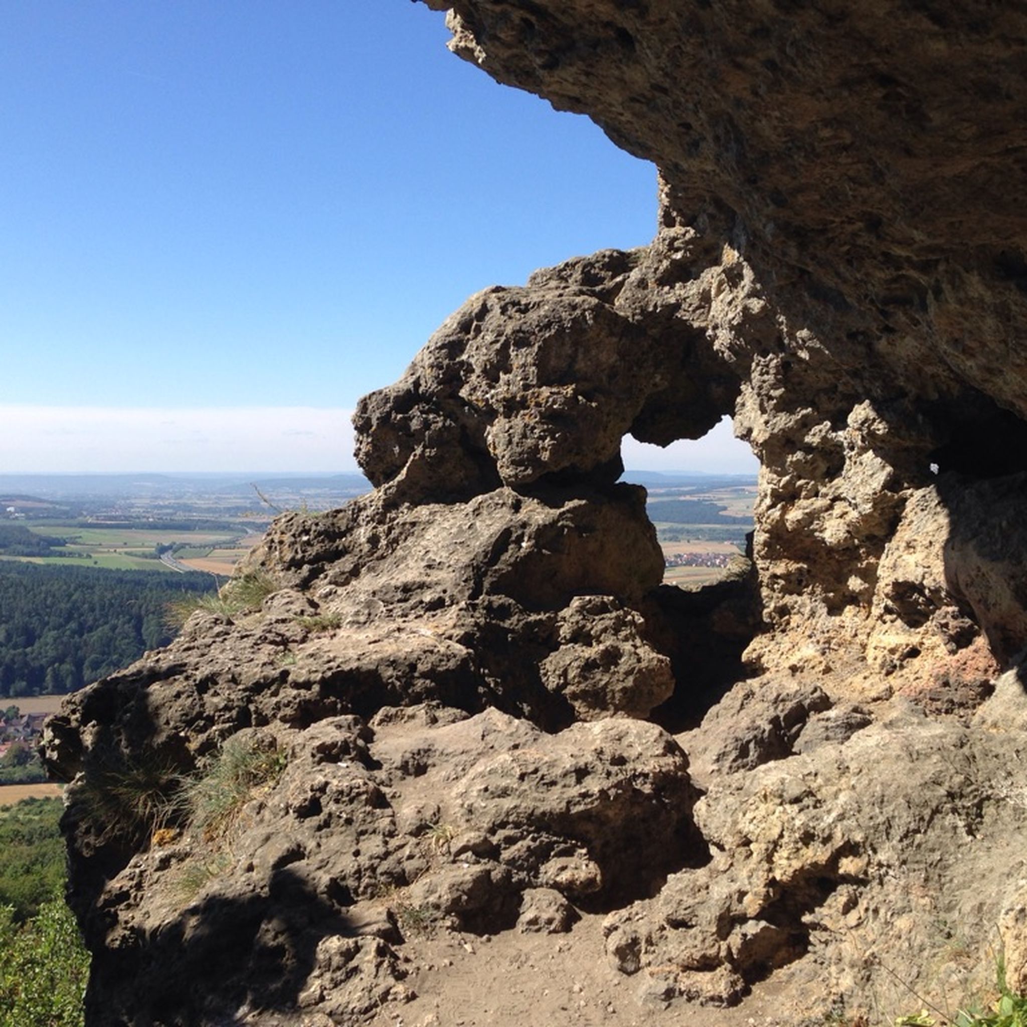
Lichtenfels offers diverse natural landmarks and stunning viewpoints. The prominent Staffelberg hill provides panoramic views over the Upper Main valley. You can also explore unique rock formations like the Kemitzenstein and the Hohler Stein. The Weinhügel near Kaider – Hohler Stein rock formation loop from Kümmersreuth is a moderate route that takes you past the Hohler Stein. For a great view, consider hiking the View of Kloster Banz – Staffelberg loop from Loffeld.
Are there any challenging hikes in the Lichtenfels area?
Yes, for more experienced hikers, Lichtenfels offers challenging routes. The Banz Abbey – Staffelberg loop from Bad Staffelstein is a difficult 11.7-mile (18.8 km) trail with significant elevation gain, providing a rewarding experience.
What do other hikers enjoy most about hiking in Lichtenfels?
The hiking trails in Lichtenfels are highly rated by the komoot community, with an average score of 4.6 stars from over 16,000 reviews. Hikers often praise the diverse terrain, from picturesque valleys and dense forests to prominent hills like the Staffelberg, and the well-maintained paths that cater to various ability levels.
Are there hiking trails that pass by historical or cultural sites?
Yes, many hiking trails in Lichtenfels integrate cultural and historical elements. Routes often lead past significant sites such as the pilgrimage church Vierzehnheiligen and the Kloster Banz. The Staffelsteiner Kreuz – Staffelberg loop from Romansthal offers a chance to see historical markers, while the Niesten castle ruins also add a historical dimension to tours in the region.
Are there options for hiking along rivers or canals?
Absolutely. Hikers can enjoy leisurely strolls along the Main-Danube Canal, which offers breathtaking views of calm waters and green riverside landscapes. Additionally, the Weismain Riverside Trail – Millstream loop from Stadelhofen is a popular moderate route that leads through scenic riverside areas.
Are there any trails that include a stop at a pub or restaurant?
While specific pub stops aren't always highlighted on every route, the region research mentions that trails often pass through idyllic villages, which typically offer opportunities for refreshments. The Millstream – 🍺 Schrepfersmühle loop from Wallersberg specifically mentions a pub, suggesting a trail designed with a refreshment stop in mind.
What are some unique natural features to look out for on hikes?
Beyond the Staffelberg and its panoramic views, keep an eye out for the unique rock formations like the Kemitzenstein and the Hohler Stein. The Tiefenthal Gorge also offers appealing natural sights. The Tiefenthal Gorge – Weinhügel near Kaider loop from Krögelhof is a moderate route that explores this area.
Most popular routes in Lichtenfels
Most popular attractions in Lichtenfels

Get inspired with the komoot mobile app


Didn’t find what you were looking for?
Check out more Hikes throughout Lichtenfels below and find the perfect route in your destination.
Explore more
Browse the best Hikes in other regions.
