The best running trails around Iznatoraf
3.5
(5)
49
runners
13
runs
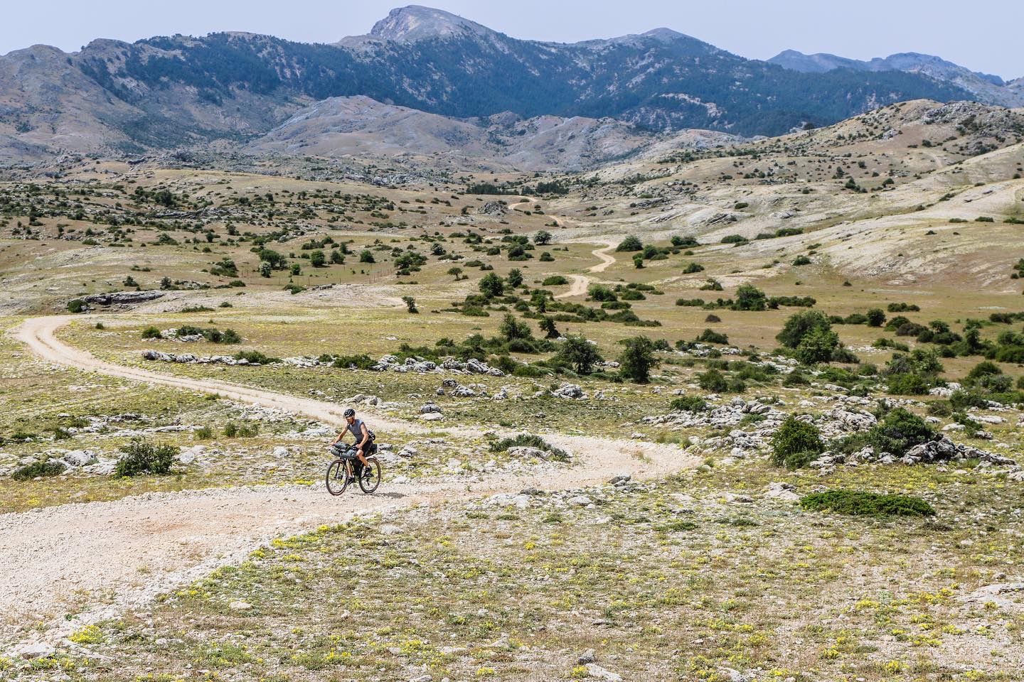
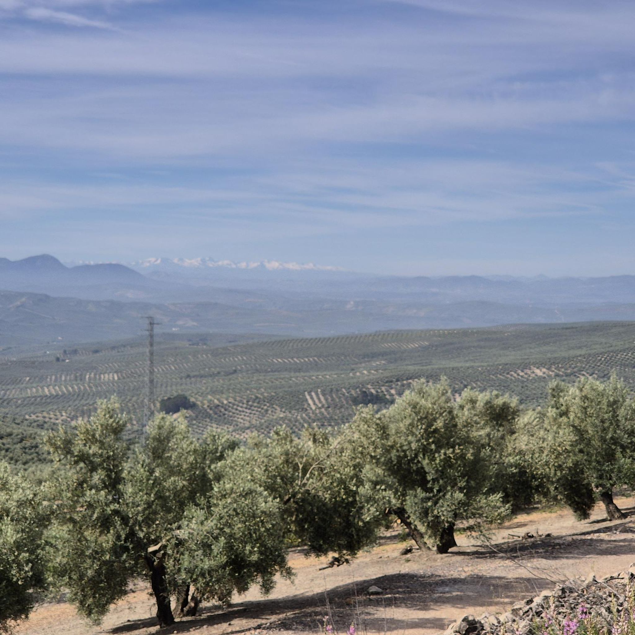
Jogging routes around Iznatoraf are set within a diverse landscape, largely integrated into the Sierras de Cazorla, Segura and Las Villas National Park. This region is characterized by an intricate network of valleys, gorges, mountains, and flat lands, with significant hydrological features like rivers and streams. The terrain offers a mix of pine forests, olive groves, and the unique historical setting of the hilltop village itself, providing varied backdrops for running.
Best jogging routes around Iznatoraf
- The most popular jogging…
Last updated: June 29, 2026
1
runners
8.40km
01:00
190m
190m
This moderate 5.2-mile (8.4 km) circular trail running route around Embalse de Aguascebas offers 633 feet (193 m) of elevation gain in under
Easy run. Great for any fitness level. Mostly paved surfaces. Suitable for all skill levels.

Sign up for free
5
runners
8.87km
01:00
120m
120m
Moderate run. Good fitness required. Mostly paved surfaces. Suitable for all skill levels.
3
runners
5.21km
00:34
120m
120m
Moderate run. Good fitness required. Mostly paved surfaces. Suitable for all skill levels.
2
runners
19.4km
02:22
460m
460m
Hard run. Very good fitness required. Mostly paved surfaces. Suitable for all skill levels.
Get access to more routes and recommendations from other explorers.
Sign up for free
Already have an account?
Our route recommendations are based on thousands of hikes, rides, and runs completed by other people on komoot.
Start today with a free account
Your next adventure awaits.
Login or Signup



Tips from the Community

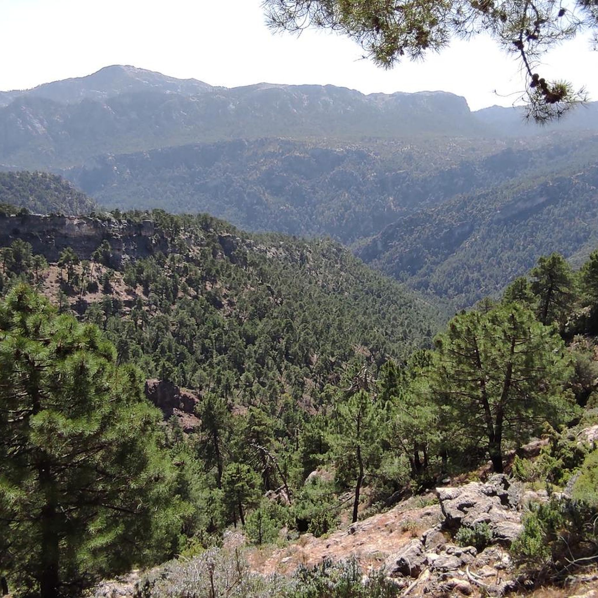
The Aguascebas Reservoir, also known as the Aguaderondo Reservoir, is located in the municipality of Villacarrillo. This reservoir was built between 1967 and 1969 on the streams of Aguascebas de la Fuente del Tajo and Aguascebas de Chorro Gil. The natural surroundings of the reservoir are impressive, with a karst landscape that includes waterfalls and a rich flora and fauna. Pine forests and riverside vegetation predominate among the vegetation, while common and rainbow trout can be found in its waters.
5
0

Beautiful road along the riverbed of the Río Guadalquivir that comes as its name indicates, full of life in its path. The path is perfect for running in peace in the middle of nature.
0
0

Small oasis on the banks of the Guadalquivir river, at the foot of the Sierra de las Cuatro Villas. Refreshing river water is captured to provide a beautiful natural pool.
1
0
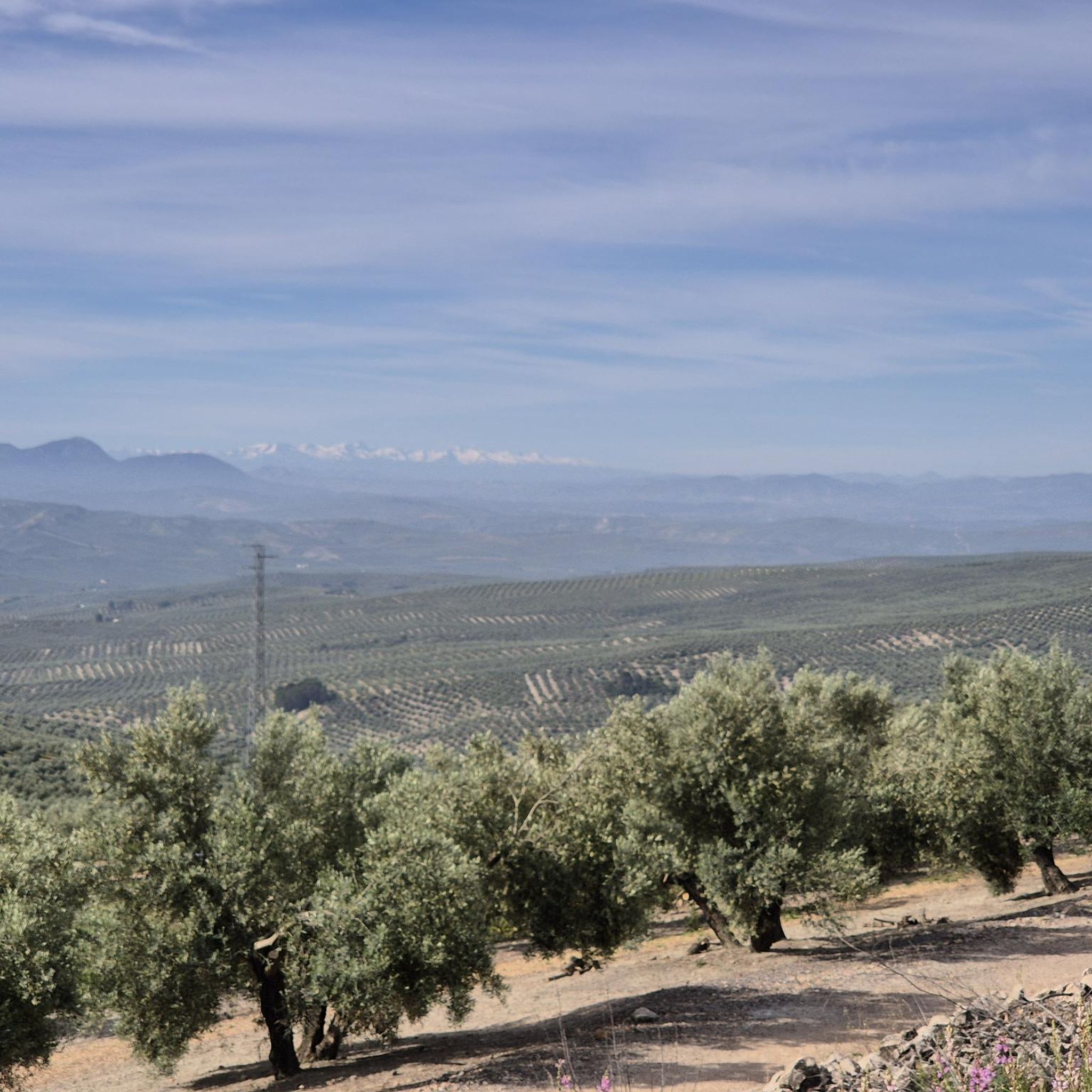
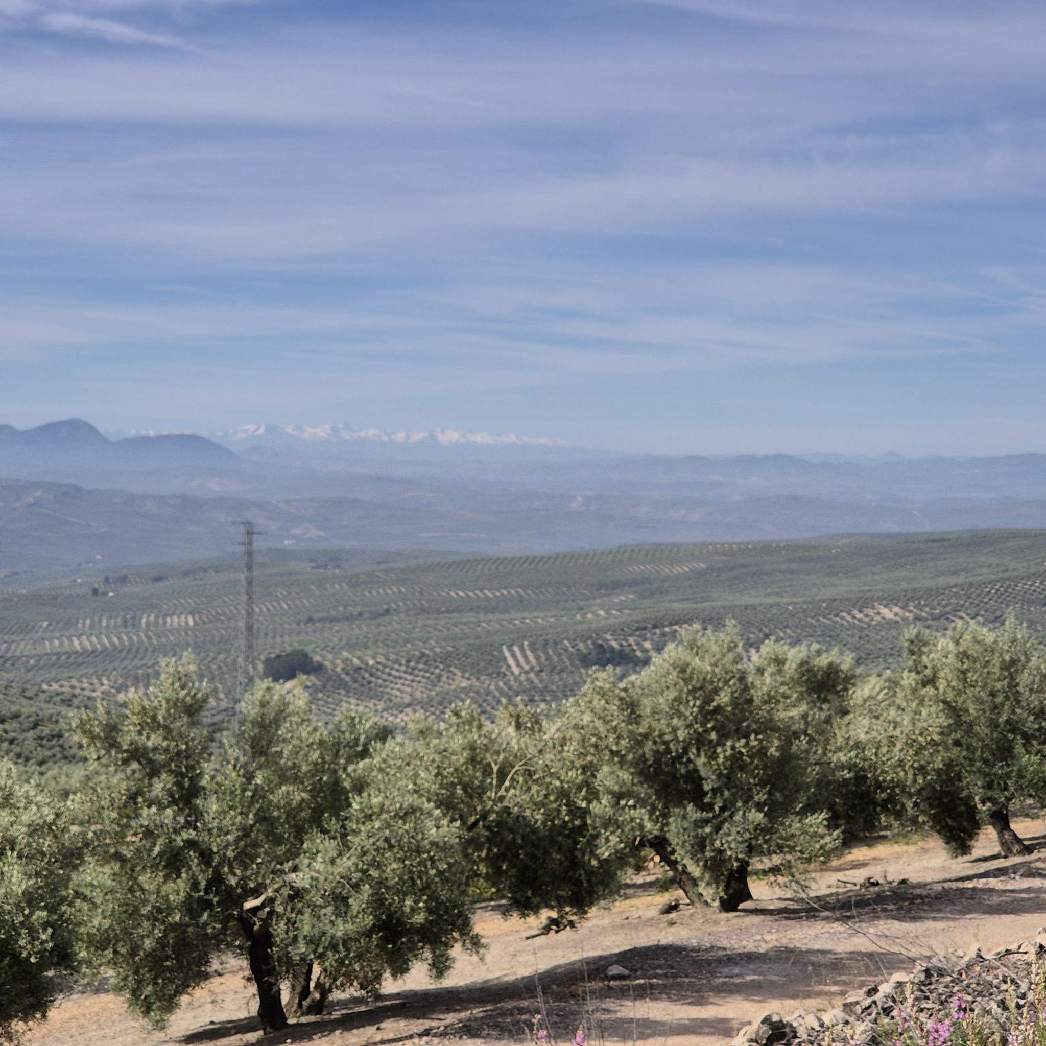
A small town is located in the hills above Úbeda, near the mountains of the Sierra de las Cuatro Villas, overlooking the sea of olive trees of the surrounding landscape. The origin of the town dates back to 1212 and at the end of the Battle of Las Navas de Tolosa.
1
0
The town of Villanueva del Arzobispo is located in the Sierra de las Cuatro Villas, surrounded by olive groves and cereal fields.
2
0

Bridge that saves the course of the Guadalquivir in the town of Mogón, in the province of Jaén.
0
0
Spanish town and municipality located in the southwestern part of the Las Villas region, in the province of Jaén. The municipality of Villacarrillense includes the population centers of Villacarrillo, which holds the capital of the region of Las Villas, Mogón, La Caleruela, Agrupación de Mogón and Arroturas.
1
0
Reservoir with a capacity of 6.37 hm³ built between 1967-1969. It collects the waters of the Aguascebas de la Fuente del Tajo and the Aguascebas de Chorro Gil streams, in the municipality of Villacarrillo, in the province of Jaén. It is located within the Sierras de Cazorla, Segura y Las Villas Natural Park.
0
0
Frequently Asked Questions
How many running routes are available around Iznatoraf?
There are 9 running routes available around Iznatoraf, catering to various fitness levels. These routes are highly rated by the komoot community, with an average score of 3.5 stars from over 5 reviews.
Are there easy running routes suitable for beginners in Iznatoraf?
Yes, Iznatoraf offers easy running routes perfect for beginners. One such option is the Round trip on the Paseo de Vida path — banks of the Río Guadalquivir, which is 4.8 km (3.0 miles) long and features minimal elevation gain, making it a gentle introduction to the area's trails.
What is the most challenging running route in Iznatoraf?
For experienced runners seeking a challenge, the Hornos de Segura – Hornos Viewpoint loop from Tranco is the most difficult route. This extensive 25 km (15.5 miles) loop includes significant elevation changes, offering a demanding workout through the scenic landscape.
Are there any circular running routes in Iznatoraf?
Yes, many of the running routes in Iznatoraf are circular, allowing you to start and finish at the same point. A popular choice is the Aguascebas Reservoir Loop, an 8.4 km (5.2 miles) path that offers beautiful views around the reservoir. Another great option is Santo Tomé y Cerró de las Albahacas — circular, a moderate 9.1 km (5.7 miles) route.
What kind of landscapes can I expect while running in Iznatoraf?
Running in Iznatoraf offers a diverse range of landscapes. You'll find yourself within the vast Sierras de Cazorla, Segura and Las Villas National Park, characterized by an 'orographic labyrinth of valleys, calares, gorges, mountains and flat lands.' Expect to see pine forests, olive groves, and significant hydrological features like rivers and streams. The historic hilltop village of Iznatoraf itself also provides a unique backdrop with its narrow, winding streets.
Are there any viewpoints or natural attractions along the running routes?
Absolutely! The region is rich in natural beauty. You can find stunning viewpoints like Isla Cabeza de la Viña Viewpoint and Mirabueno Viewpoint. The Osera Trail is known for its stunning waterfalls, and you can explore areas around the Charco del Aceite or the Tranco de Beas Reservoir.
Can I run with my dog on the trails in Iznatoraf?
While many natural areas in Spain are dog-friendly, it's always best to check specific regulations for the Sierras de Cazorla, Segura and Las Villas National Park, as rules can vary regarding leashes and protected zones. Generally, well-behaved dogs on a leash are welcome on many trails, but always be mindful of wildlife and other trail users.
Are there any running routes suitable for families with children?
For families, routes with gentler terrain and shorter distances are ideal. The Round trip on the Paseo de Vida path — banks of the Río Guadalquivir is an easy, flat option. Additionally, natural enclaves like the 'Paisaje de la Parra' and 'Paraje de Jesús del Monte' offer shaded picnic areas, making them great starting points for shorter, family-friendly explorations before or after a run.
What is the typical length of running routes around Iznatoraf?
The running routes around Iznatoraf vary significantly in length. You can find shorter paths like the Round trip on the Paseo de Vida path at 4.8 km (3.0 miles), moderate options such as the Aguascebas Reservoir Loop at 8.4 km (5.2 miles), and challenging long-distance trails up to 25 km (15.5 miles).
What do other runners enjoy most about jogging in Iznatoraf?
The komoot community highly rates the running experience in Iznatoraf, with an average score of 3.5 stars. Runners frequently praise the diverse terrain, from riverside paths to routes with elevation, and the stunning natural beauty of the Sierras de Cazorla, Segura and Las Villas National Park. The blend of natural landscapes and the unique historical setting of the village also contributes to a memorable experience.
Are there any specific areas for picnics or rest stops along the trails?
Yes, several natural enclaves in the region offer excellent spots for picnics and rest. The 'Paisaje de la Parra' provides shaded picnic areas, as does the 'Cueva del Peinero' area near the Aguascebas Grande stream, which also features a forest refuge. The 'Paraje de Jesús del Monte' is another well-equipped natural spot with a picnic area and the 'Fuente del Avellano' (Hazelnut Fountain).
What are the best times of year for running in Iznatoraf?
Iznatoraf's location within the Sierras de Cazorla, Segura and Las Villas National Park makes it suitable for running during much of the year. Spring and autumn generally offer the most pleasant temperatures for outdoor activities. Summers can be warm, so early morning or late evening runs are advisable, while winters are typically mild, allowing for comfortable running, especially on sunny days.
Most popular attractions around Iznatoraf

Get inspired with the komoot mobile app


Explore more
Browse the best Running Trails & Routes in other regions.
