The best MTB trails around Zamarra
4.5
(15)
144
riders
31
rides
Mountain bike trails around Zamarra offer a diverse topography within the Salamanca province, featuring varied landscapes for riders. The region includes mountain ranges such as the Sierra de Béjar and Sierra de Francia, providing challenging climbs and descents. Riders can also explore holm oak dehesas and routes along river valleys, such as the Águeda River. This area combines natural beauty with historical sites, making it suitable for varied mountain biking experiences.
Best mountain bike trails around Zamarra
- The most popular…
Last updated: June 28, 2026
5.0
(2)
12
riders
Moderate mountain bike ride. Good fitness required. Suitable for all skill levels.
4.0
(2)
14
riders
39.2km
02:51
350m
350m
Moderate mountain bike ride. Good fitness required. Suitable for all skill levels.

Sign up for free
5.0
(1)
14
riders
59.7km
05:03
820m
820m
Hard mountain bike ride. Very good fitness required. Suitable for all skill levels.
10
riders
41.8km
04:09
950m
950m
Hard mountain bike ride. Very good fitness required. Suitable for all skill levels.
3.5
(2)
7
riders
31.1km
02:27
280m
280m
Moderate mountain bike ride. Good fitness required. Suitable for all skill levels.
Get access to more routes and recommendations from other explorers.
Sign up for free
Already have an account?
Our route recommendations are based on thousands of hikes, rides, and runs completed by other people on komoot.
Start today with a free account
Your next adventure awaits.
Login or Signup


Tips from the Community

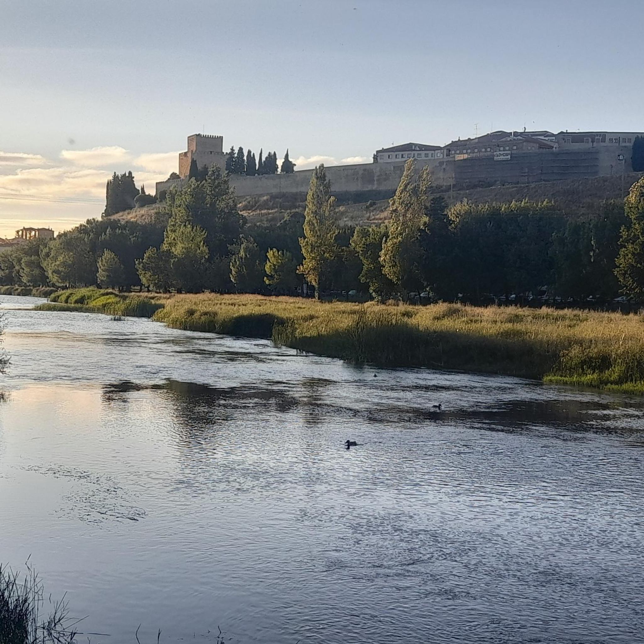
The Alcázar Gate in Ciudad Rodrigo is one of the historic entrances to the city walls and has great heritage and scenic value. It was opened in 1507 by Antonio del Águila, warden of the Alcázar, when he built the defensive barrier in that area. It is located next to the Castle of Henry II of Trastámara, in the section of the wall facing the Águeda River, known as the Battery, due to the cannons that were once installed there.
4
0
The Plaza Mayor of Ciudad Rodrigo is the historical and social heart of the city, with a rich history that reflects its importance as an urban center: Since the Middle Ages, the Plaza Mayor has been the hub of public life: markets, proclamations, and council meetings were held there in the cloister of the former Church of San Juan. In the 16th century, public butcher shops were built, and it became a consolidated space for commercial and festive activities. Until then, the square was home to the Three Roman Columns, a vestige of the ancient Miróbriga, which had been a symbol of the city since the 13th century. In 1580, the square was expanded, incorporating the space that once housed the old prison and the Audiencia (Courthouse). It even had corridors for watching bullfights, a tradition that continues during carnivals.
7
0
Ciudad Rodrigo's Town Hall is located in the Plaza Mayor and is one of the city's most emblematic buildings. Its history is linked to the urban and political development of Ciudad Rodrigo since the Middle Ages. Medieval Origins: Ciudad Rodrigo was founded in Roman times, but its consolidation as a fortified urban center occurred in the Middle Ages. Municipal government was organized around the council, which initially met in council houses until the current building was built.
1
0
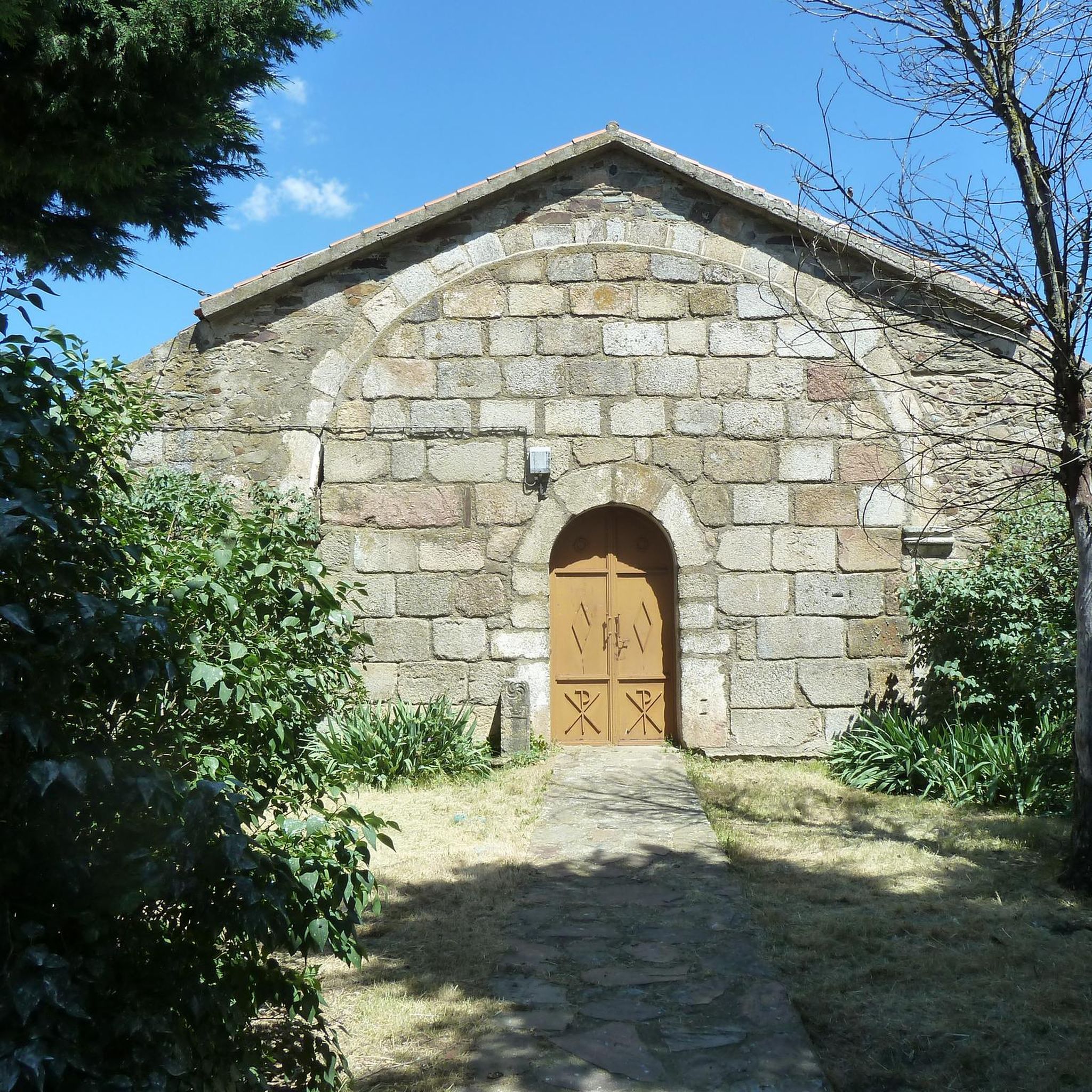
The Puerta del Alcázar is one of the ancient access gates to the walled enclosure of Ciudad Rodrigo. This gate, along with others such as the Puerta del Sol and the Puerta de Santiago, was part of the city's defensive system.
4
0

High point bordering the Hurdes and the Sierra de Francia. If you continue along the ridge you will reach the Puerto de Esperabán. At the top there is a forest hut and incredible views. Recommended for mountain bikes, a bit more difficult for gravel due to the stones, incline and broken ground, but it could be done with gravel. A very hard port from the Castile and Leon side.
0
0
The port starts in Descargamaría, on the bridge over the Arrago River, heading towards Robledillo de Gata. The road is in perfect condition up to this beautiful town, but from here on the road surface is quite deteriorated and the width of the road decreases, but, yes, we gain in beauty, since we enter a beautiful area, leaving Robledillo on the left we will be surrounded by chestnut trees, pines, oaks, olive trees, rockroses, etc. A delight for the senses to travel along this little road without hardly finding a car. As for difficulty, as we said before, it exceeds 100 coefficient, which is a lot, a lot, but the climb is bearable. We will find two very hard kilometers, which are the ones that will basically mark that coefficient, at the exit of Robledillo, a full kilometer above 8% and a couple of kilometers higher, another kilometer above 7%. From there, the difficulty level remains around 4 or 5 percent, but alternating with several downhill or flat sections, which lowers the percentage.
0
0
The Esperabán pass is a mountain pass in the interior of the Iberian Peninsula, located in the Central System. The route that crosses it connects the Spanish provinces of Cáceres and Salamanca. This pass, which divides the provinces of Cáceres and Salamanca, is located at an altitude of 1,295 m. Access to the pass is paved and in good condition. The pass runs along the road that connects the town of Pinofranqueado with the farmhouses located on the banks of the Esperabán River. The last 7 km, with an average gradient of 8%, run along a perfectly paved forest track that was once used for transporting wood. The end of the asphalt, at 1,285 m above sea level, is just a few meters from the summit that gives the pass its name. We can climb to the highest point with MTB or gravel without problems.
0
0

watch out for the ruts
0
0
Frequently Asked Questions
How many mountain bike trails are available around Zamarra?
There are 12 mountain bike trails around Zamarra, offering a variety of experiences for riders. These routes are highly rated by the komoot community, with an average score of 4.6 stars.
What kind of terrain can I expect on mountain bike trails near Zamarra?
The terrain around Zamarra is diverse, reflecting the wider Salamanca province. You can expect to encounter challenging climbs and descents in mountain ranges like the Sierra de Béjar and Sierra de Francia, as well as picturesque rides through holm oak dehesas and along river valleys such as the Águeda River. The landscape also features open pastures and cereal fields, providing varied riding environments.
Are there any mountain bike trails suitable for beginners or families in Zamarra?
While the trails around Zamarra are generally categorized as moderate to difficult, with no easy routes listed, the broader Salamanca province offers over 50 cycle paths catering to various skill levels. For specific family-friendly options, it's advisable to check individual route details for less technical sections or consider exploring the wider regional network.
What are some of the longer or more challenging mountain bike routes in the area?
For a challenging ride, consider the Puerto Espaban – Puerto de los Corrales loop from El Sahúgo. This difficult route spans 61.2 km and features a significant elevation gain of over 1140 meters. Another demanding option is the Puerto Viejo loop from Martiago, which is 59.9 km long with over 840 meters of ascent.
Are there any circular mountain bike routes around Zamarra?
Yes, many of the mountain bike trails around Zamarra are designed as loops. For example, the Monastery of La Caridad – Alcázar Gate loop from La Encina is a moderate 39.2 km circular route. Another option is the Puerto Espaban – Puerto de los Corrales loop from Martiago, a difficult 41.1 km loop through mountainous terrain.
What historical or natural landmarks can I see while mountain biking near Zamarra?
The region around Zamarra offers a blend of natural beauty and historical sites. While riding, you might encounter impressive mountain passes such as Robledo Pass or Esperabán Pass. Nearby Ciudad Rodrigo, approximately 30 km away, boasts historical attractions like the Castle of Enrique II of Trastámara, the Plaza Mayor Ciudad Rodrigo, and the magnificent Cathedral of Santa María.
What is the best time of year for mountain biking in Zamarra?
The Salamanca province generally offers diverse landscapes suitable for mountain biking throughout much of the year. However, considering the region's climate, spring and autumn typically provide the most pleasant temperatures for outdoor activities, avoiding the intense heat of summer and potential colder, wetter conditions in winter. Always check local weather forecasts before heading out.
Are there any amenities or services for mountain bikers in the Zamarra area?
While specific amenities directly in Zamarra are not detailed, the wider Salamanca province is committed to cycling tourism. There are MTB Centers in the province, such as one in Aldeadávila de la Ribera, which provide information, repair tools, and bike washing facilities. Ciudad Rodrigo, a short distance away, also offers bike support facilities. These regional resources indicate a supportive environment for mountain bikers.
What do other mountain bikers enjoy most about the trails around Zamarra?
The mountain bike trails around Zamarra are highly rated by the komoot community, with an average score of 4.6 stars from over 10 reviews. Riders often praise the varied terrain, which includes mountain ranges, holm oak dehesas, and river valleys, offering diverse and engaging experiences. The combination of natural beauty and historical proximity also adds to the appeal.
Are there any routes that offer significant elevation gain for a good workout?
Absolutely. For a substantial climb, the Puerto de los Corrales – Puerto Golosa loop from Agallas is a moderate 52.6 km route with an elevation gain of nearly 900 meters. Another option is the Puerto Espaban – Puerto de los Corrales loop from Martiago, which ascends over 910 meters over 41.1 km.
What are the typical difficulty levels of mountain bike trails in Zamarra?
The mountain bike trails directly around Zamarra are predominantly categorized as moderate to difficult. There are 9 moderate routes and 3 difficult routes listed, indicating that most trails require a good level of fitness and some technical skill. Riders should be prepared for significant elevation changes and varied terrain.
Most popular attractions around Zamarra

Get inspired with the komoot mobile app


Explore more
Browse the best MTB trails in other regions.
