The best road cycling routes around Sayatón
4.3
(6)
226
riders
28
rides
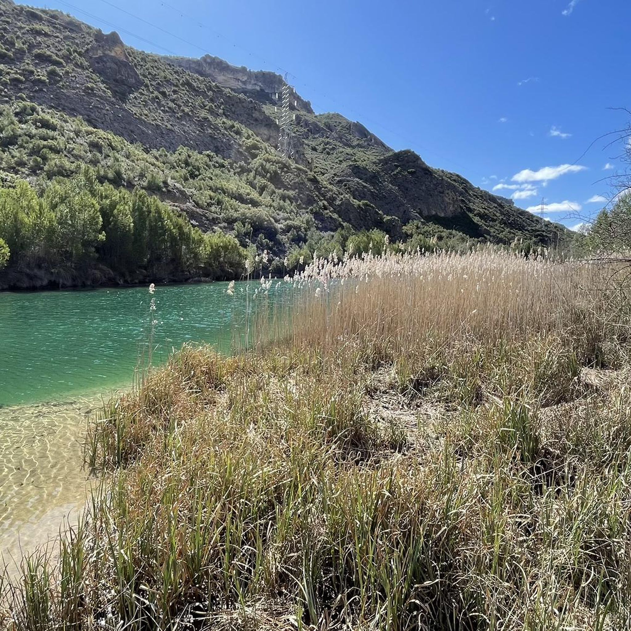
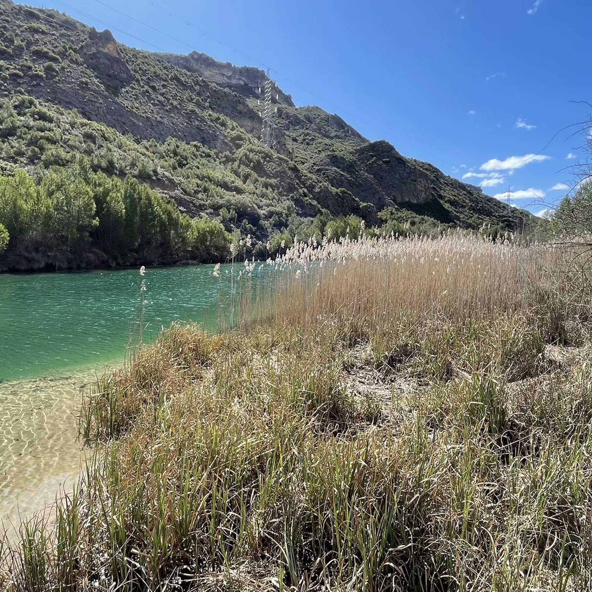
Road cycling around Sayatón, located in the province of Guadalajara, offers diverse landscapes for exploration. The region is characterized by its proximity to the Bolarque reservoir and the Tagus River, providing scenic waterside routes. It lies within the La Alcarria region, known for its rolling hills and rural roads that traverse olive groves and varied terrain. This area presents a mix of elevations, suitable for different cycling preferences.
Best road cycling routes around Sayatón
- The most popular road cycling route is Almoguera and Sierra de Altomira Loop, a 49.8 miles (80.1 km) trail that takes 3 hours 46 minutes to complete. This difficult route features significant elevation gain through the Sierra de Altomira.
- Another top favourite among local road cyclists is Entrepeñas Viaduct – Entrepeñas Reservoir Dam loop from Estación de Auñón, a moderate 38.5 miles (61.9 km) path. This route offers views of the Entrepeñas Reservoir and its dam, winding through rural environments.
- Local road cyclists also love the Cifuentes River Waterfall – Entrepeñas Reservoir Dam loop from Estación de Auñón, a 77.3 miles (124.5 km) trail leading through varied landscapes including the Cifuentes River Waterfall, often completed in about 6 hours 18 minutes.
- Road cycling around Sayatón is defined by the Bolarque reservoir, the Tagus River, and the rolling hills of the La Alcarria region. The network offers options for easy, moderate, and difficult routes, catering to various ability levels.
- The routes in Sayatón are highly rated by the komoot community with an average score of 4.2 stars from 5 reviews. More than 200 road cyclists have used komoot to explore Sayatón's varied terrain.
Last updated: July 2, 2026
9
riders
105km
04:45
1,030m
1,030m
This difficult 65.5-mile road cycling route from Sacedón explores the Embalse de Buendía and the Roman City of Ercávica.
7
riders
74.9km
03:35
970m
980m
This difficult 46.6-mile road cycling route from Sacedón circles the Entrepeñas Reservoir and visits the historic town of Pastrana.

Sign up for free
7
riders
80.1km
03:46
950m
950m
This difficult 49.8-mile (80.1 km) road cycling route takes you through the Sierra de Altomira, passing Almoguera Castle and offering divers
4
riders
Moderate road ride. Good fitness required. Some segments of this route may be unpaved and difficult to ride.
31
riders
58.8km
02:51
790m
790m
Moderate road ride. Good fitness required. Some segments of this route may be unpaved and difficult to ride.
Get access to more routes and recommendations from other explorers.
Sign up for free
Already have an account?
Our route recommendations are based on thousands of hikes, rides, and runs completed by other people on komoot.
Start today with a free account
Your next adventure awaits.
Login or Signup



Other adventures around Sayatón

Tips from the Community

I saw that there is a recreational and bathing area on the river that could be interesting on hot days. From what I saw, access is subject to a fee.
0
0

This time we went down to the River through the Presa tunnel.
1
0
The Embalse Dam and the entire area is very touristy, suitable for quiet hiking.
1
0

Vellisca is the typical La Mancha town of whitewashed houses surrounded by cereal fields. It is located at the foot of the Altomira mountain range and very close to the source of the Riánsares river. Its natural environment is fascinating.
1
0

The castle of Almoguera dates from the 15th century, although it was built on the ruins of an old Arab fortification. Little remains of this medieval construction, as the current castle is a reconstruction from the end of the 20th century.
1
0
The Entrepeñas viaduct is an impressive construction that allows you to cross this reservoir located in the bed of the Tagus River.
1
0

In the plain of the Arles river, between the Tagus and the Tajuña, the Villa Ducal de Pastrana welcomes us. Its multiple samples of artistic and cultural heritage have given it the title of Artistic Historical Site. Pastrana is enriched with figures and literary stories; Thus, its Carmelite convents were founded by Saint Teresa and Saint John of the Cross. Moratín later settled in the town for long periods of time and, closer to our days, Camilo José Cela immortalized it by portraying it in his Viaje a la Alcarria. The Plaza de la Hora is governed by the imposing Ducal Palace, in Renaissance style and with an abundance of Mannerist elements. Some wonderful coffered ceilings also designed by Alonso de Covarrubias, in Plateresque style, have been preserved. Likewise, the skirting boards of Toledo tiles in the Mudejar style stand out. It offers its visitors the opportunity to visit various museums and emblematic monuments of the town. DUCAL PALACE TAPESTRY MUSEUM SANTA TERESA V CENTENARY MUSEUM
18
0

Great walk through the incredibly diverse landscape created around the Entrepeñas Reservoir located near the city of Sacedón.
1
0
Frequently Asked Questions
How many road cycling routes are available around Sayatón?
There are over 25 road cycling routes around Sayatón, offering diverse options for exploration. These routes are highly rated by the komoot community, with an average score of 4.2 stars.
What are the difficulty levels of road cycling routes in Sayatón?
The routes around Sayatón cater to various skill levels. You'll find a mix of easy, moderate, and difficult routes. Specifically, there is 1 easy route, 11 moderate routes, and 17 difficult routes, ensuring options for every cyclist.
What natural features can I expect to see while road cycling in Sayatón?
Road cycling in Sayatón offers stunning natural scenery. Many routes feature the picturesque Bolarque Reservoir and the Tagus River. You'll also traverse the rolling hills and olive groves characteristic of the La Alcarria region, and some routes, like the Cifuentes River Waterfall – Entrepeñas Reservoir Dam loop, pass by the Cifuentes River Waterfall.
Are there any historical landmarks or points of interest along the road cycling routes?
Yes, the region is rich in history. You can incorporate visits to landmarks such as the Zorita de los Canes Castle, an ancient Arab fortification. Further afield, the unique Route of the Faces near Buendía offers an intriguing cultural stop, and the Recópolis Archaeological Site provides a glimpse into the region's past.
Where can I find scenic viewpoints on the road cycling routes?
Several routes offer breathtaking views, particularly around the reservoirs. The Peña de la Virgen Viewpoint and the Entrepeñas Dam Viewpoint are notable spots to pause and enjoy panoramic vistas of the water and surrounding landscapes.
Are there any family-friendly road cycling routes in Sayatón?
While many routes in Sayatón feature varied elevation and can be challenging, there is at least one easy route available. For families, it's advisable to look for routes with minimal elevation gain and shorter distances, focusing on the quieter rural roads of the La Alcarria region.
Are there any circular road cycling routes around Sayatón?
Yes, many of the road cycling routes around Sayatón are designed as loops. Examples include the Almoguera and Sierra de Altomira Loop, the Entrepeñas Viaduct – Entrepeñas Reservoir Dam loop, and the Bolarque Dam loop from Almonacid de Zorita, allowing you to start and finish in the same location.
What is the best time of year for road cycling in Sayatón?
The region generally offers good cycling conditions for much of the year. Spring and autumn are often ideal, with milder temperatures and pleasant scenery. Summers can be hot, so early morning or late afternoon rides are recommended, while winters are generally mild but can have cooler temperatures.
Is parking available for cyclists in Sayatón?
While specific designated cyclist parking areas are not detailed, Sayatón is a small municipality. Cyclists typically find parking in or near the town center or at the start points of popular routes, especially in areas like Estación de Auñón or Almonacid de Zorita, which serve as common starting points for tours.
Are there any challenging road cycling routes for experienced riders?
Absolutely. Sayatón offers 17 difficult road cycling routes for experienced riders seeking a challenge. Routes like the Almoguera and Sierra de Altomira Loop feature significant elevation gain through the Sierra de Altomira, while the Cifuentes River Waterfall – Entrepeñas Reservoir Dam loop covers a substantial distance with considerable climbing.
What kind of terrain defines road cycling in the Sayatón region?
Road cycling in Sayatón is characterized by a mix of terrain. You'll encounter rolling hills typical of the La Alcarria region, quiet rural roads winding through olive groves, and scenic stretches alongside the Bolarque and Entrepeñas reservoirs. The area offers varied elevation, from flatter sections near the water to more challenging climbs in the Sierra de Altomira.
Most popular routes around Sayatón
Most popular attractions around Sayatón

Get inspired with the komoot mobile app


Explore more
Browse the best Road cycling routes in other regions.
