The best walks and hikes around Yésero
4.5
(2158)
16,634
hikers
278
hikes
Hiking around Yésero offers access to diverse terrain within the Aragonese Pyrenees. The region is characterized by mountainous landscapes, extensive forests, and deep ravines like the Barranco de Sía. Trails often feature significant terrain elevation, with routes traversing meadows and following river valleys.
Best hiking trails around Yésero
- The most popular hiking route is Yésero and Barranco de Sía Loop Trail, a 12.3 miles (19.8 km) trail that takes 6 hours 33 minutes to complete. This difficult route explores…
Last updated: June 25, 2026
5.0
(2)
4
hikers
19.8km
06:33
790m
790m
This difficult 12.3-mile circular hike from Gaví to Yésero through Barranco de Sía offers challenging terrain and scenic views.
4.7
(12)
113
hikers
10.7km
03:43
560m
560m
Moderate hike. Good fitness required. Mostly accessible paths. Sure-footedness required.

Sign up for free
4.3
(7)
78
hikers
12.5km
04:02
530m
540m
Moderate hike. Good fitness required. Easily-accessible paths. Suitable for all skill levels.
5.0
(3)
24
hikers
10.7km
03:13
330m
330m
Moderate hike. Good fitness required. Easily-accessible paths. Suitable for all skill levels.
5.0
(3)
25
hikers
8.94km
02:45
330m
320m
Moderate hike. Good fitness required. Easily-accessible paths. Suitable for all skill levels.
Get access to more routes and recommendations from other explorers.
Sign up for free
Already have an account?
Our route recommendations are based on thousands of hikes, rides, and runs completed by other people on komoot.
Start today with a free account
Your next adventure awaits.
Login or Signup

Tips from the Community

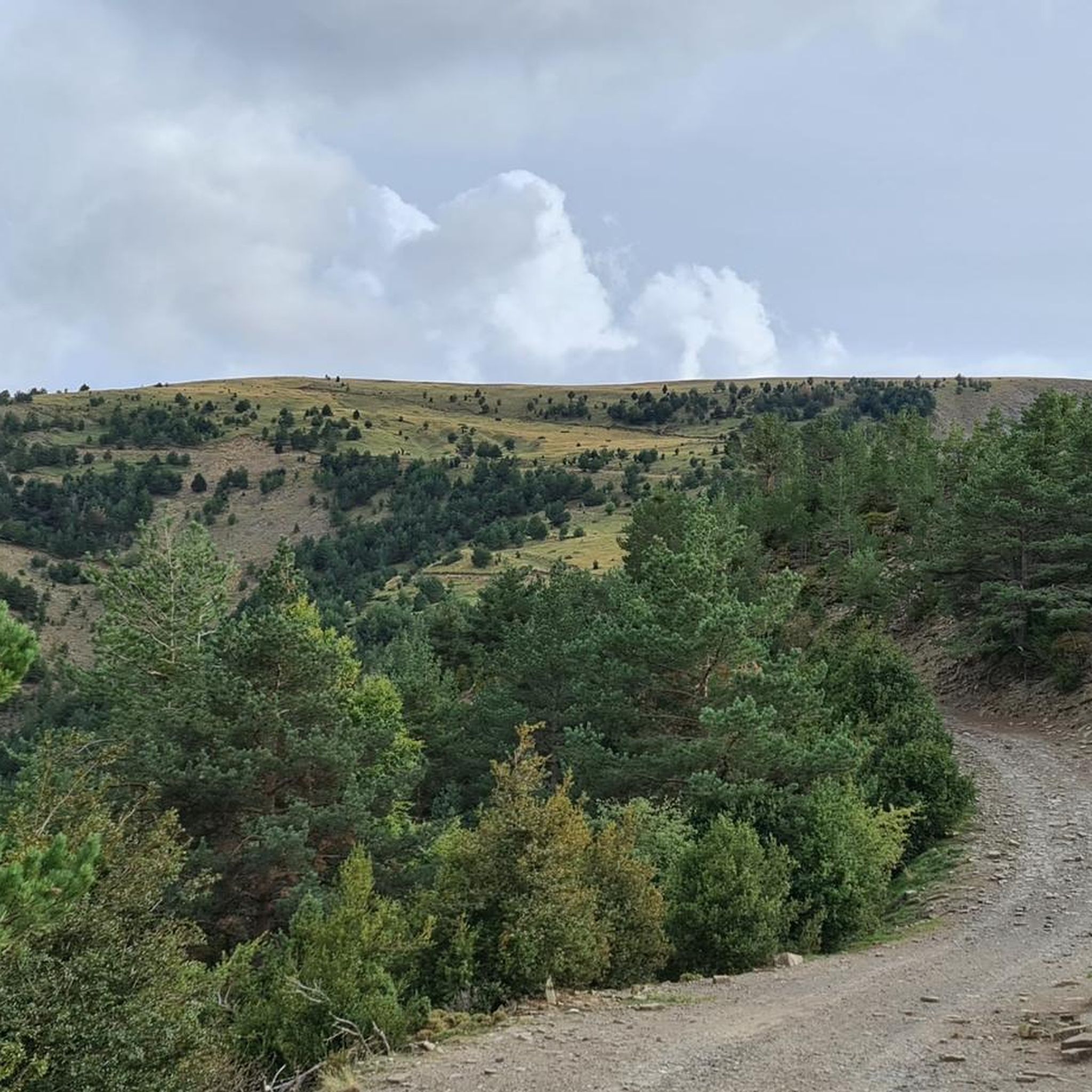
The Cotefablo Pass is a mountain pass located in the province of Huesca between the towns of Biescas and Broto.
0
0


Very good aerial path. easy but dangerous due to vacuum
0
0

Between the Sierras de Tendeñera and the Sierra de Serrablo lies this beautiful and picturesque village in the middle of the Barranco de Sia.
0
0
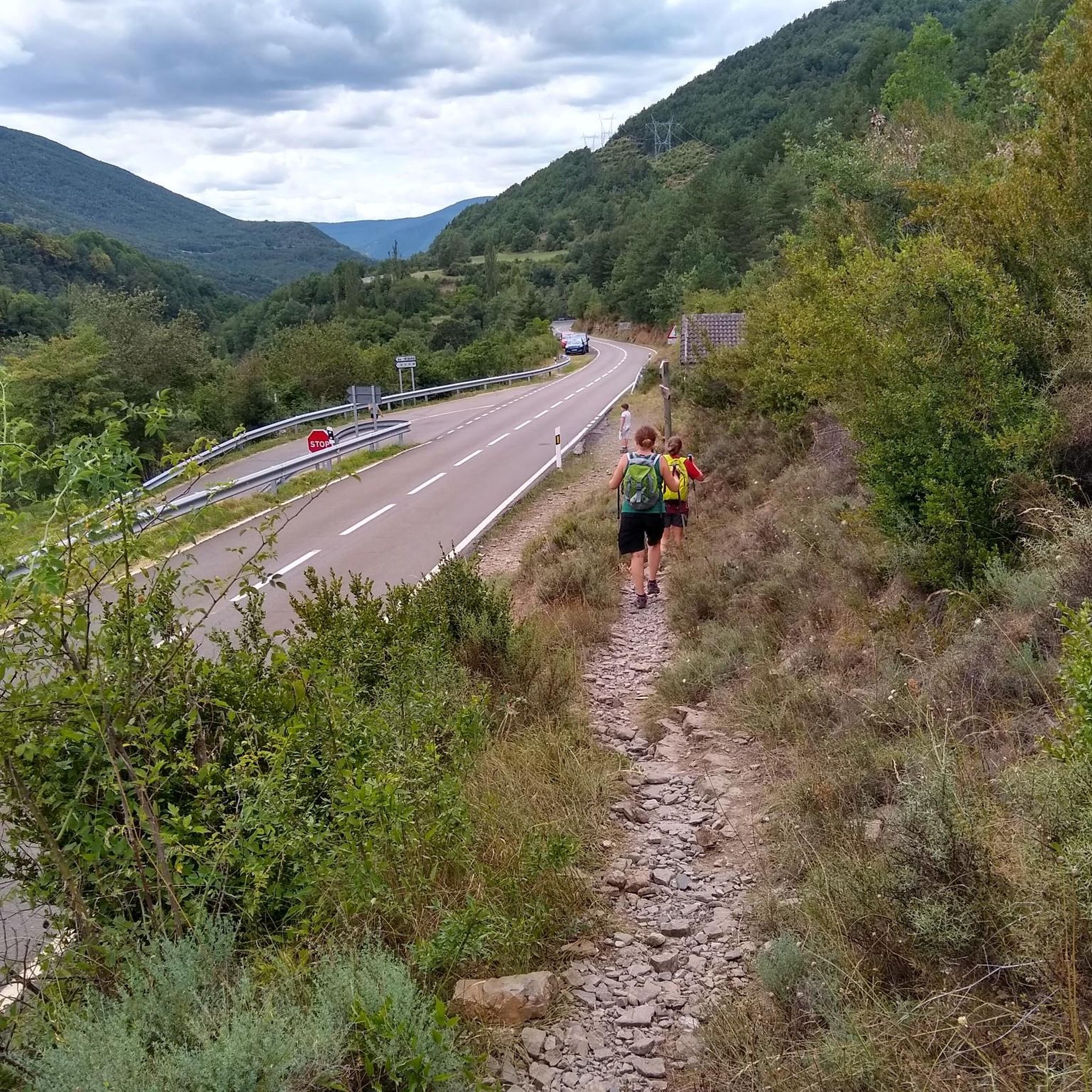
Beautiful path that passes over the Barranco de Sia and is a path that used to connect the town of Gavín with San Bartolomé de Gavín.
0
0
Beautiful hermitage that in past times was important for the population of Gavín and the group of nearby towns. It is currently restored and in good condition.
0
0
Between the Sierras de Tendeñera and the Sierra de Serrablo lies this beautiful and picturesque village in the middle of the Barranco de Sia.
0
0
Beautiful path that passes over the Barranco de Sia and is a path that used to connect the town of Gavín with San Bartolomé de Gavín.
0
0
Frequently Asked Questions
How many hiking trails are available around Yésero?
Yésero offers a wide selection of hiking routes, with over 280 trails available. These range from easy paths to more challenging ascents, catering to various fitness levels.
What kind of terrain and elevation can I expect on Yésero's trails?
The region is characterized by diverse mountainous terrain, extensive forests, and deep ravines like the Barranco de Sía. You can expect significant elevation changes, with routes traversing meadows, following river valleys, and ascending to viewpoints. For example, the Yésero and Barranco de Sía Loop Trail involves over 790 meters of ascent.
Are there many circular hiking routes available in Yésero?
Yes, Yésero offers several circular hiking routes. These are popular for exploring the diverse landscapes and returning to your starting point. An example is the Yésero – Yésero loop from Yésero, which is a moderate 8.9 km trail.
Are there any notable natural features or waterfalls to see on hikes?
Absolutely. The area is rich in natural beauty. You can discover the impressive Sorrosal Waterfall, a prominent cascade near Broto. Many trails also lead through picturesque ravines like the Barranco de Sía, and you can find beautiful lakes such as Bernatuara Lake and Brazato Lakes.
What historical or cultural landmarks can I discover while hiking?
Beyond natural beauty, you can encounter historical points of interest. The Romanesque bridge of San Nicolás de Bujaruelo, dating back to the 13th century, is a notable landmark. You might also find sites like the Dolmen of Santa Elena or the Santa Elena Hermitage and Fountain.
Are there family-friendly hiking options in Yésero?
Yes, Yésero provides hiking options suitable for families. While many routes involve significant elevation, there are easier paths available. You can find over 50 easy routes, which are generally shorter and have less demanding ascents, perfect for a family outing.
When is the best time of year to go hiking in Yésero?
Yésero, located in the Aragonese Pyrenees, is generally best for hiking during the spring, summer, and early autumn months. During these periods, the weather is more stable, and trails are typically clear of snow, offering pleasant conditions for exploration. Always check local weather forecasts before heading out.
What do other hikers say about the trails in Yésero?
The trails in Yésero are highly regarded by the komoot community, with an average rating of 4.5 stars from over 2,000 reviews. Hikers often praise the stunning mountainous landscapes, the variety of terrain, and the opportunity to explore deep ravines and extensive forests.
What are the parking options for hikers in Yésero?
While specific parking details for every trailhead are not available, Yésero and nearby villages typically offer designated parking areas for visitors. For routes like the Cotefablo Picnic Area – Pelupín Summit loop, there is an Aparcamiento de Cotefablo (Cotefablo Parking) available, indicating that many popular trailheads have facilities for vehicles.
Besides hiking, what other outdoor activities can I do in Yésero?
The Yésero area is a hub for various outdoor pursuits. In addition to hiking, you can enjoy cycling, mountain biking, and trail running on specific routes. The Sorrosal Waterfall area is also known for canyoning and via ferrata, offering more adventurous options.
Can I hike with my dog in Yésero?
Many trails in the Aragonese Pyrenees are generally dog-friendly, allowing you to enjoy the natural beauty with your canine companion. However, it's always advisable to keep dogs on a leash, especially in areas with livestock or protected wildlife, and to check specific regulations for national parks or nature reserves if your route enters one.
Are there any trails that offer panoramic views?
Yes, many trails in Yésero provide breathtaking panoramic views of the surrounding Pyrenees. Routes that ascend to summits or high passes, such as the Cotefablo Picnic Area – Pelupín Summit loop, offer expansive vistas. You can also find specific viewpoints like the Punta de el Barco Viewpoint.
Most popular routes around Yésero
Most popular attractions around Yésero

Get inspired with the komoot mobile app


Explore more
Browse the best Hikes in other regions.
