The best walks and hikes around La Torre De Fontaubella
4.5
(700)
3,399
hikers
203
hikes
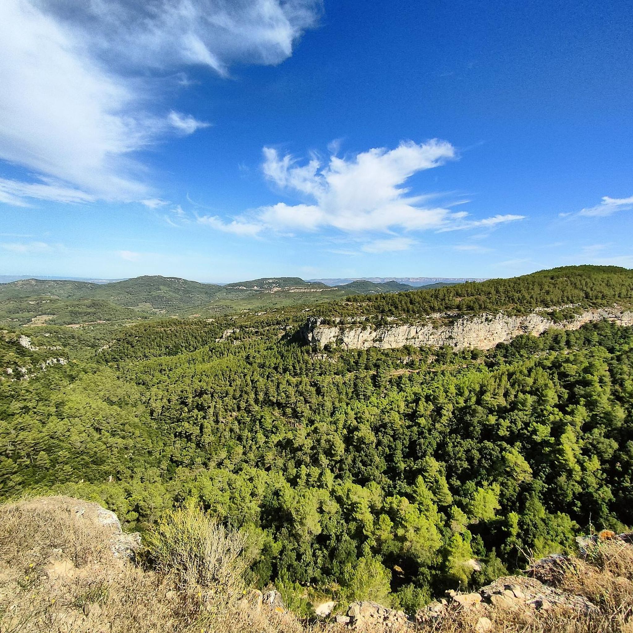
Hiking around La Torre De Fontaubella offers access to the diverse and captivating landscape of the Serra de Llaberia Natural Reserve in Catalonia, Spain. This mountainous region features imposing steep reliefs, ravines, and abrupt cliffs, with peaks such as La Miranda reaching close to 1,000 meters above sea level. The terrain includes forests and agricultural land, providing varied natural features for outdoor activities.
Best hiking trails around La Torre De Fontaubella
- The most popular hiking route is Trails steeped in…
Last updated: October 18, 2026
4.7
(3)
19
hikers
9.03km
03:22
460m
460m
Moderate hike. Good fitness required. Mostly accessible paths. Sure-footedness required.
14
hikers
3.37km
01:50
310m
310m
Hard hike. Good fitness required. Sure-footedness, sturdy shoes and alpine experience required.

3.8
(4)
7
hikers
16.2km
05:00
580m
580m
Moderate hike. Good fitness required. Easily-accessible paths. Suitable for all skill levels.
5.0
(2)
15
hikers
6.79km
03:07
530m
530m
Hard hike. Good fitness required. Sure-footedness, sturdy shoes and alpine experience required.
3
hikers
8.63km
03:28
570m
570m
Hard hike. Good fitness required. Sure-footedness, sturdy shoes and alpine experience required.
Get access to more routes and recommendations from other explorers.
Already have an account?
Our route recommendations are based on thousands of hikes, rides, and runs completed by other people on komoot.
Start today with a free account
Your next adventure awaits.
Popular around La Torre De Fontaubella

Tips from the Community

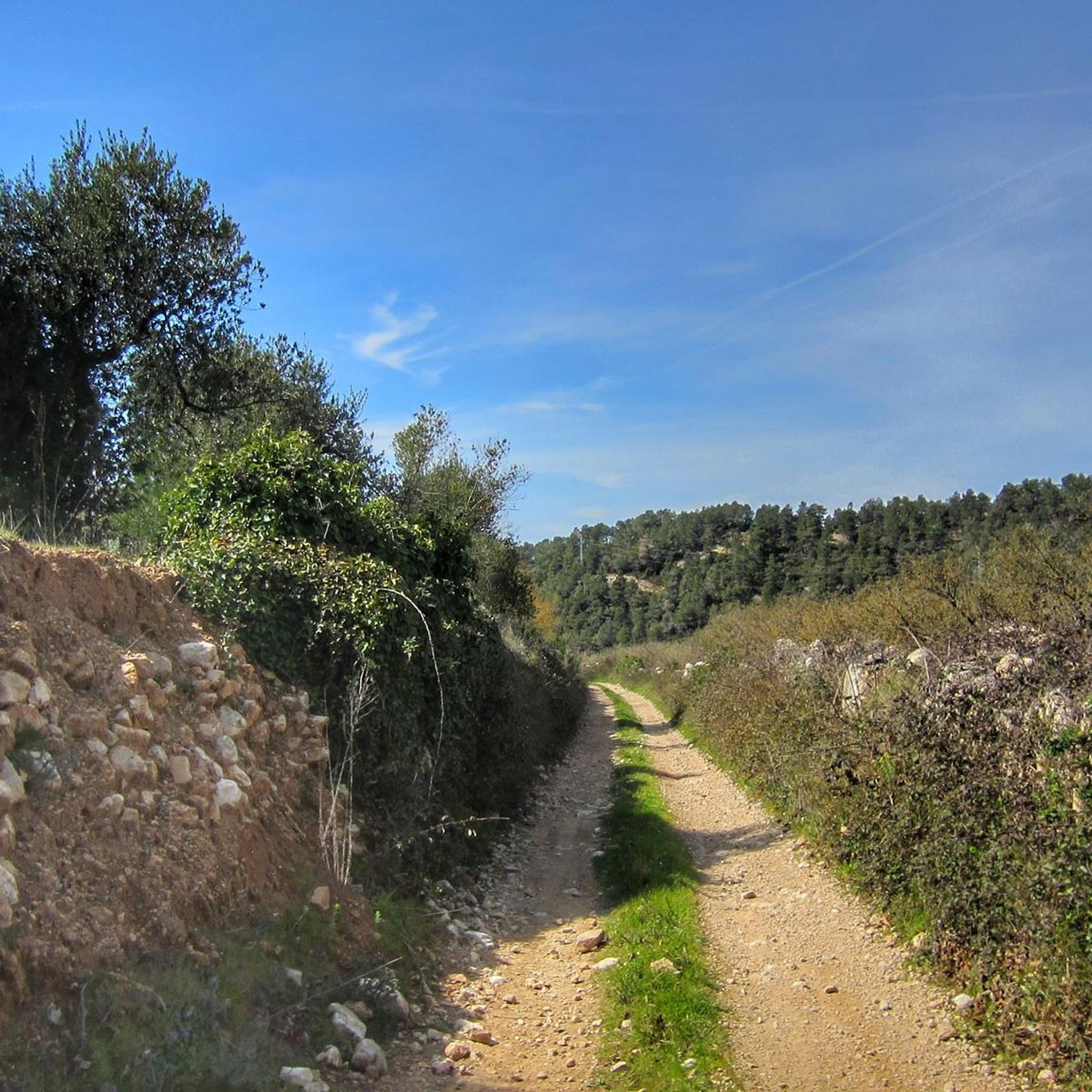
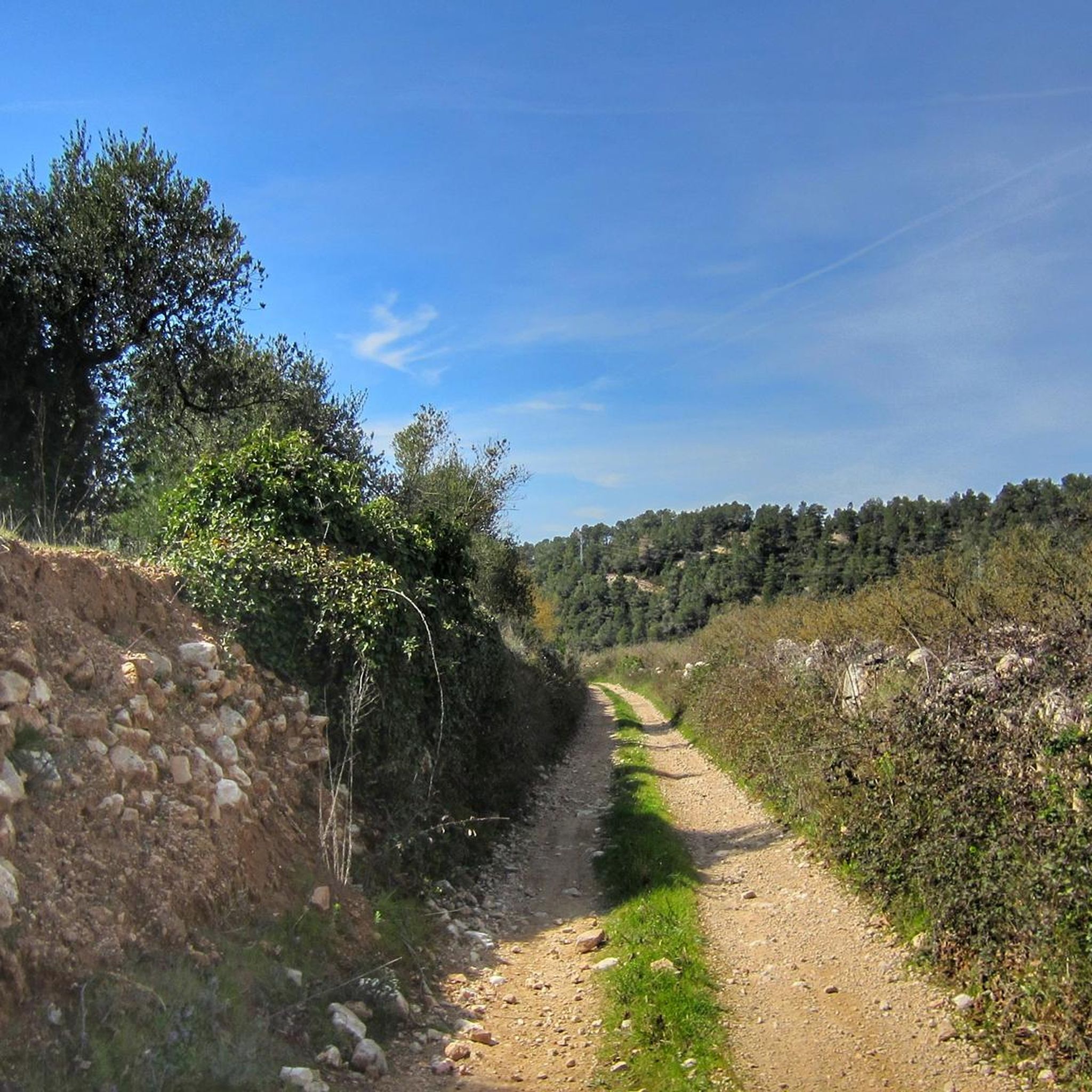
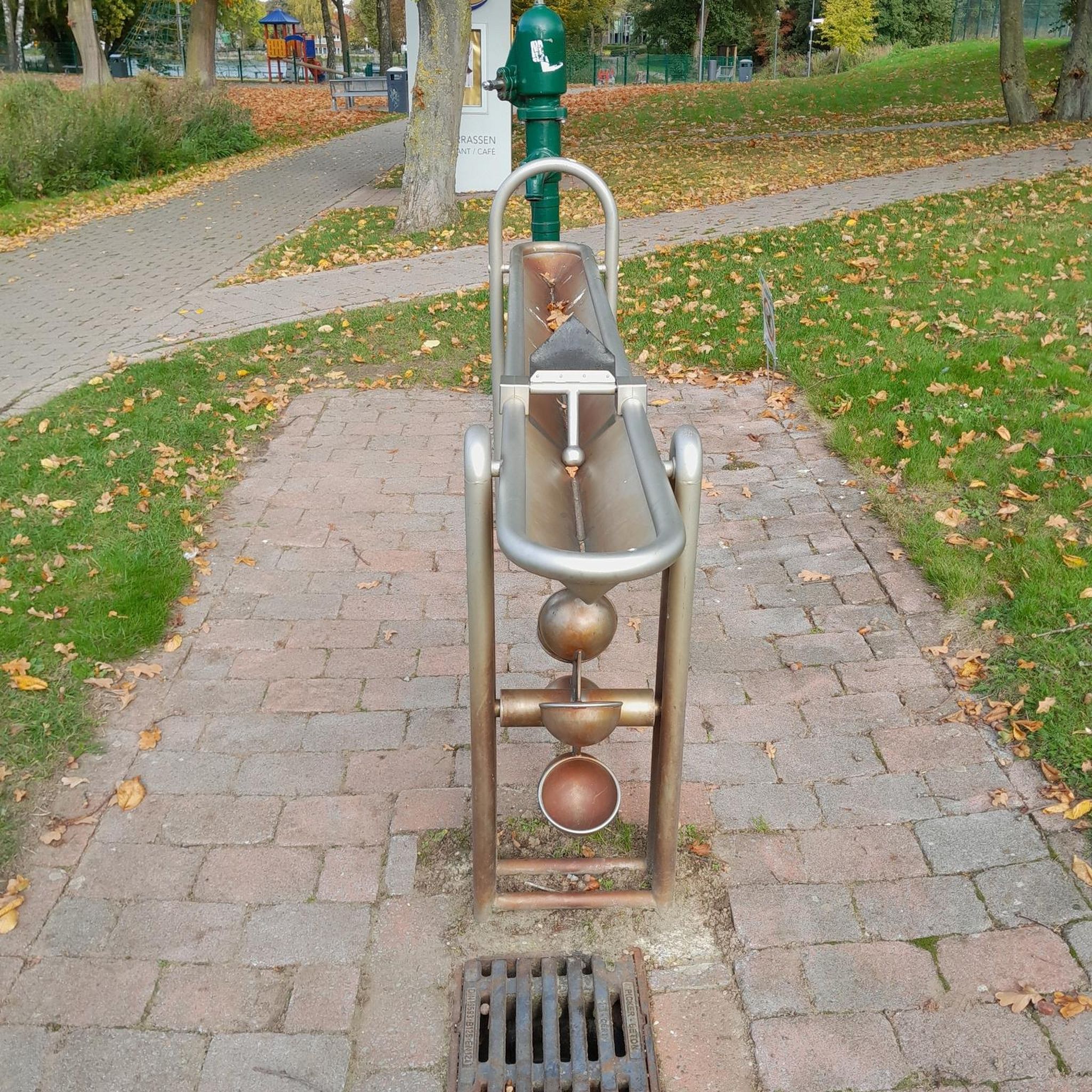
Possible stop for water!
0
0

Short stretch on a mix of scree and rock, to be tackled without problems with suitable footwear, also suitable for trained dogs and children accustomed to the mountains
1
0

Beautiful wine-growing region in Catalonia
3
0

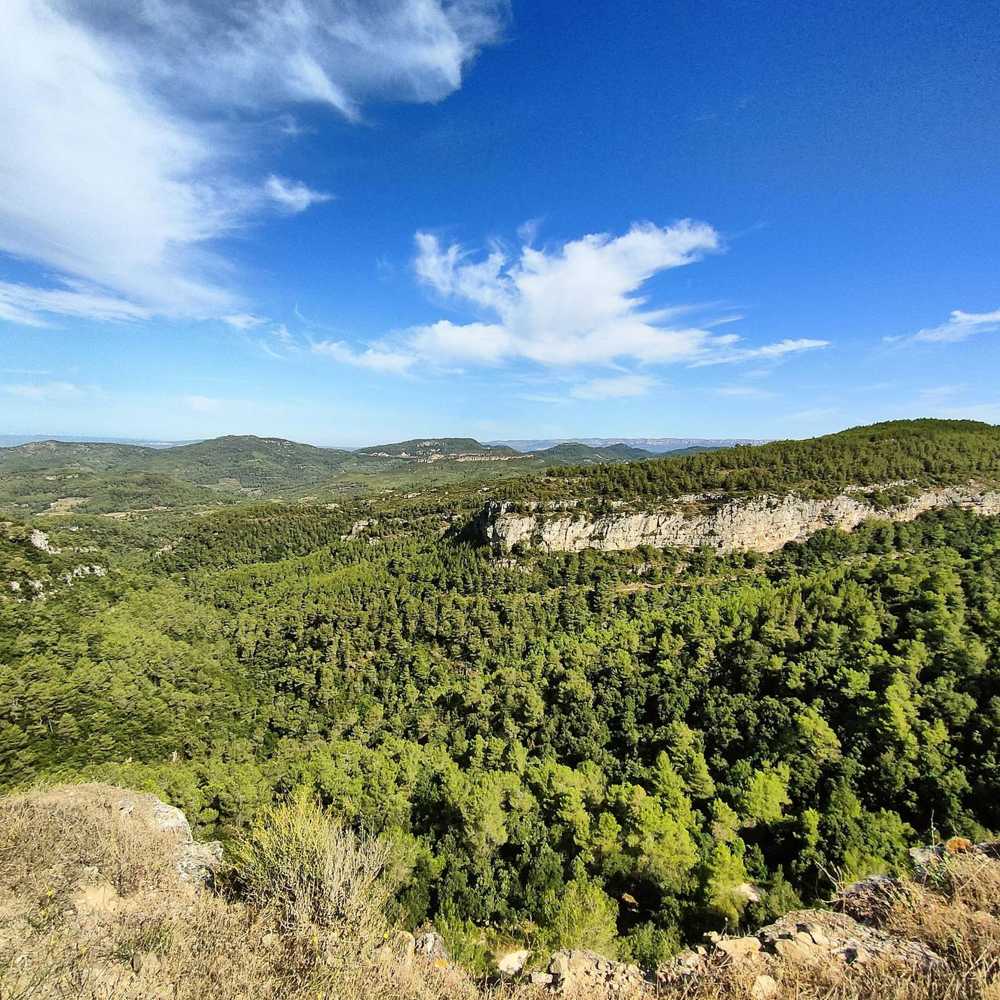
From up here you have a beautiful view.
1
0

Water source to fill the drums en route, a mandatory stop.
0
0

It is a short section of barely 200 meters located on one of the slopes of the Mola de Colldejou. It runs through a fairly incline pan and ends in a meadow. You have to be careful with loose stones, because in some points it exceeds the 25% inclination.
2
0
Located in the highest part of the Mola de Colldejou and just a few meters from the castle, the view reaches the coast of Cambrils. You can also see the impressive Llaberia mountain range and the Pradell-L'Argentera mountain ranges.
1
0

La Mola de Colldejou is a table that is located above the town of Colldejou. It is part of the Serra de Llaberia and offers one of the most extensive views of the Costa Daurada
1
0
Frequently Asked Questions
How many hiking trails are available around La Torre De Fontaubella?
There are over 190 hiking trails in the La Torre De Fontaubella area, offering a wide variety of options for all skill levels. You'll find everything from easy strolls to challenging mountain ascents.
What types of terrain can I expect on hikes in La Torre De Fontaubella?
The region is characterized by mountainous terrain with imposing steep reliefs, ravines, and abrupt cliffs, especially within the Serra de Llaberia Natural Reserve. You'll encounter diverse ecosystems, including forests and agricultural land, with limestone formations leading to numerous caves and grottoes. Trails often feature significant elevation changes.
Are there any easy hiking routes suitable for beginners or families?
Yes, out of the nearly 200 trails, 41 are rated as easy. An excellent option is Paved path – The Puigferrós Viewpoint loop from l'Argentera, which is 4.5 km long and offers beautiful views with a moderate elevation gain, making it suitable for a relaxed outing.
What are the most challenging hikes in the area?
For experienced hikers seeking a challenge, there are 38 difficult routes. One such demanding trail is Trucafort Wind Farm – Bassot de la Mola loop from Colldejou. This 8.1 km path features significant elevation changes and offers stunning views of the Mola de Colldejou's distinctive limestone cliffs.
Are there any circular hiking routes around La Torre De Fontaubella?
Yes, many routes in the area are circular, allowing you to start and end at the same point. The region research highlights circular routes that explore the Mola de Colldejou. For example, the La Miranda (918 m) – Tivissa Weather Radar loop from Colldejou is a popular 8.2 km loop through mountainous terrain.
What kind of views can I expect on hikes in this region?
Hiking in La Torre De Fontaubella offers spectacular panoramic views. From higher elevations like the Mola de Colldejou, you can see from Penedès to the Ebro River, with the Mediterranean Sea on the horizon. On clear days, you might even spot landmarks like the Mare de Déu de la Roca hermitage perched on a mountaintop.
What historical landmarks or attractions can I find along the trails?
The area is rich in history. You can explore ancient communication paths between villages and historical sites like the fortress of Torre de Rosanes. The Trails steeped in history in Escornalbou – hiking in Catalonia route specifically explores historical sites. Additionally, nearby attractions include the impressive Sant Miquel d'Escornalbou Castle and Monastery and La Mola Castle, Colldejou.
What is the best time of year to go hiking in La Torre De Fontaubella?
The Serra de Llaberia offers incredibly authentic landscapes, especially between autumn and spring. During these seasons, views are generally clearer, and wildlife is more active, providing an optimal hiking experience. Summer can be hot, so early mornings or late afternoons are recommended if hiking then.
What do other hikers say about the trails in La Torre De Fontaubella?
The trails in La Torre De Fontaubella are highly rated by the komoot community, with an average score of 4.5 stars from over 500 reviews. Hikers often praise the diverse and captivating landscapes, the well-signposted network of paths, and the spectacular views over the Camp de Tarragona plain.
Are there any mountain passes or bridges to discover?
Yes, the region features several notable mountain passes and bridges. You can find highlights such as Coll de la Teixeta, Coll Roig Pass (Colldejou), and the Rifà Bridge, which add to the scenic and historical interest of the trails.
Is there a visitor information point in the area?
Yes, the Serra de Llaberia consortium provides a visitor welcome and information point. This is a great resource for outdoor enthusiasts to get local insights, maps, and details about the trails and facilities.
Most popular routes around La Torre De Fontaubella
Most popular attractions around La Torre De Fontaubella

Get inspired with the komoot mobile app


Explore more
Browse the best Hikes in other regions.
