The best walks and hikes around Montijo
5.0
(3)
42
hikers
4
hikes
Hiking around Montijo offers opportunities to explore its riverine landscapes and green spaces. The municipality is characterized by its connection to the Tagus River and estuary, providing a scenic backdrop for outdoor activities. While specific long-distance trails are regional, local routes exist within municipal parks and along the waterfront. The terrain generally features moderate elevation changes, suitable for various hiking abilities.
Best hiking trails around Montijo
- The most popular hiking route is View from Cerro de San Serván loop from Arroyo de San Serván, a 4.5 miles (7.2 km) trail that takes 2 hours 18 minutes to complete. This moderate route includes an ascent of 335 meters.
- Another top favourite among local hikers is Cerro San Gregorio – Church of Saint Peter the Apostle loop from Montijo - El Molino, a moderate 7.8 miles (12.6 km) path. This route offers views of the local landscape with an elevation gain of 110 meters.
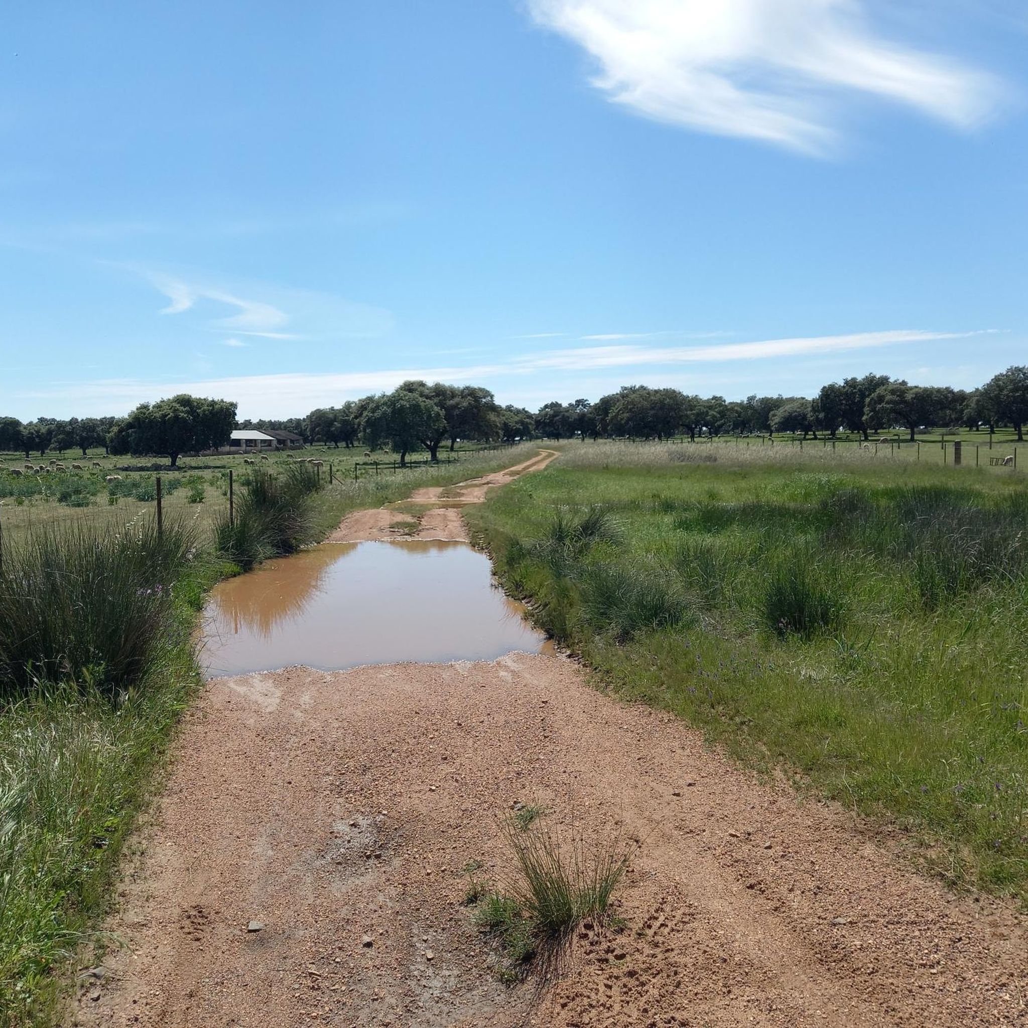
- Local hikers also love the Estanque loop from Guadiana, a 6.7 miles (10.7 km) trail leading through varied terrain, often completed in about 2 hours 44 minutes. This path features a gentle elevation gain of 35 meters.
- Hiking around Montijo is defined by its Tagus Riverfront, estuary views, and accessible green spaces like the Carlos Hidalgo Gomes de Loureiro Municipal Park. The network offers options for different ability levels, primarily moderate.
- The routes in Montijo are highly rated by the komoot community with an average score of 5.0 stars from 3 reviews. More than 30 hikers have used komoot to explore Montijo's varied terrain.
Last updated: July 8, 2026
30
hikers
7.18km
02:19
330m
330m
Moderate hike. Good fitness required. Easily-accessible paths. Suitable for all skill levels.
5.0
(3)
6
hikers
Moderate hike. Good fitness required. Easily-accessible paths. Suitable for all skill levels.

Sign up for free
1
hikers
11.0km
02:48
40m
40m
Moderate hike. Good fitness required. Easily-accessible paths. Suitable for all skill levels.
Our route recommendations are based on thousands of hikes, rides, and runs completed by other people on komoot.
Start today with a free account
Your next adventure awaits.
Login or Signup

Other adventures around Montijo

Tips from the Community

Cerro de San Serván is a popular hiking destination in the Arroyo de San Serván mountain range near Mérida. At an altitude of 608 metres, it offers stunning views of the surrounding plain.
4
0

The highest peak of the Arroyo de San Serván mountain range, with its 608 m high, offers us beautiful views of the plain that surrounds us.
3
1

Spectacular church located in the old center of the city of Montijo. The space that surrounds it is always full of people and with atmosphere.
0
0
Frequently Asked Questions
How many hiking trails are available around Montijo?
Montijo offers several hiking routes, with over 4 trails documented on komoot. These routes provide opportunities to explore the region's riverine landscapes and green spaces.
What kind of terrain can I expect on hikes in Montijo?
The terrain around Montijo generally features moderate elevation changes, making it suitable for various hiking abilities. You'll find paths that traverse riverfront areas, green spaces, and some routes with gentle ascents, such as the Estanque loop from Guadiana which has an elevation gain of 35 meters.
Are there any family-friendly hiking options in Montijo?
While specific trails are not explicitly labeled 'family-friendly' in the data, the Carlos Hidalgo Gomes de Loureiro Municipal Park offers green areas and trails that are generally suitable for leisurely walks. Its facilities, including a children's playground, make it a good option for families looking for accessible outdoor time.
Can I bring my dog on the hiking trails in Montijo?
Montijo's outdoor spaces, particularly along the riverfront and in municipal parks, are generally welcoming for dogs. It's always recommended to keep dogs on a leash and adhere to local regulations regarding pet waste to ensure a pleasant experience for everyone.
Are there circular hiking routes available in Montijo?
Yes, Montijo features several circular hiking routes. For example, the View from Cerro de San Serván loop from Arroyo de San Serván and the Cerro San Gregorio – Church of Saint Peter the Apostle loop from Montijo - El Molino are popular options that allow you to start and end at the same point.
What natural features or landmarks can I see while hiking in Montijo?
Hiking in Montijo allows you to experience its strong connection to the Tagus River and estuary, which is a defining characteristic of the region. You can enjoy views of the riverine landscape, potentially spot birds in the Tejo Estuary Nature Reserve, and explore green spaces like the Carlos Hidalgo Gomes de Loureiro Municipal Park. Notable landmarks include the Montijo Dam and the Church of Saint Peter the Apostle.
Are there any viewpoints offering scenic views in Montijo?
Yes, Montijo offers several spots with scenic views. The View from Cerro de San Serván and the Balcony of Extremadura are specific highlights known for their panoramic vistas. Additionally, Praia Fluvial Samouco provides unique views of Lisbon across the Tagus River and the Vasco da Gama Bridge.
What is the best time of year to go hiking in Montijo?
Montijo's climate makes it suitable for hiking for much of the year. Spring and autumn generally offer the most pleasant temperatures for outdoor activities. Summer can be warm, especially midday, so early morning or late afternoon hikes are recommended. Winter hiking is also possible, though some paths might be wetter.
Is parking available near the trailheads in Montijo?
While specific parking details for every trailhead are not provided, Montijo, as a municipality, generally offers parking options in urban areas and near popular parks like the Carlos Hidalgo Gomes de Loureiro Municipal Park. For routes starting from smaller villages or more remote areas, street parking might be available.
How do other hikers rate the trails in Montijo?
The hiking routes in Montijo are highly rated by the komoot community, with an impressive average score of 5.0 stars from 3 reviews. Hikers appreciate the varied terrain and the opportunities to explore the region's natural beauty.
Are there any historical sites or cultural attractions accessible via hiking?
Yes, Montijo has historical points of interest that can be incorporated into walks. The Tide Mill (Moinho de Maré) and the Esteval Windmill, which functions as a museum, are significant historical landmarks along the waterfront that offer cultural insights into the region's past.
What is the typical duration for a hike in Montijo?
Hikes in Montijo vary in duration depending on the route. For instance, the View from Cerro de San Serván loop from Arroyo de San Serván typically takes about 2 hours and 18 minutes, while the Estanque loop from Guadiana can be completed in approximately 2 hours and 44 minutes. There are options for both shorter strolls and longer excursions.
Most popular attractions around Montijo

Get inspired with the komoot mobile app


Explore more
Browse the best Hikes in other regions.
