The best MTB trails around Pradoluengo
4.4
(15)
188
riders
32
rides
Mountain biking around Pradoluengo offers diverse terrain within the Sierra de la Demanda in Burgos, Spain. The region is characterized by significant elevation changes, with the town itself at 962 meters and differences of up to 1,000 meters in its municipal area. Lush forests of beeches, pines, hollies, and oaks crisscross the landscape, providing varied natural features for mountain bike trails. The Oropesa River source and mountain passes like Alto de la Pradilla contribute to the area's rugged and appealing…
Last updated: October 15, 2026
3.0
(1)
33
riders
44.5km
05:38
1,570m
1,570m
Hard mountain bike ride. Very good fitness required. Advanced riding skills necessary.
4.5
(4)
24
riders
47.6km
05:31
1,650m
1,650m
Hard mountain bike ride. Very good fitness required. Advanced riding skills necessary. Some portions of the route may require you to push your bike.

22
riders
22.3km
02:42
670m
670m
Moderate mountain bike ride. Good fitness required. Advanced riding skills necessary.
5
riders
58.8km
06:15
1,520m
1,520m
Hard mountain bike ride. Very good fitness required. Advanced riding skills necessary. Some portions of the route may require you to push your bike.
7
riders
47.0km
04:47
1,220m
1,220m
Hard mountain bike ride. Very good fitness required. Advanced riding skills necessary.
Get access to more routes and recommendations from other explorers.
Already have an account?
Our route recommendations are based on thousands of hikes, rides, and runs completed by other people on komoot.
Start today with a free account
Your next adventure awaits.
Tips from the Community

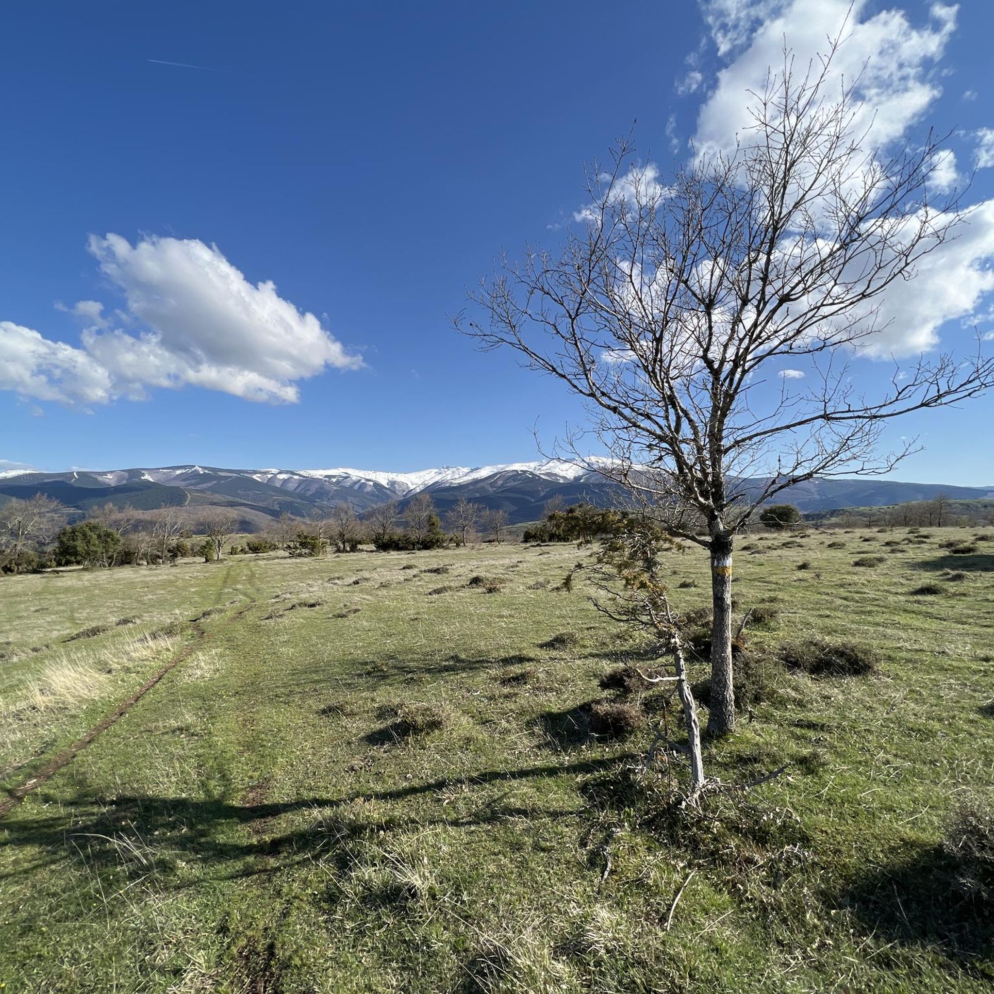
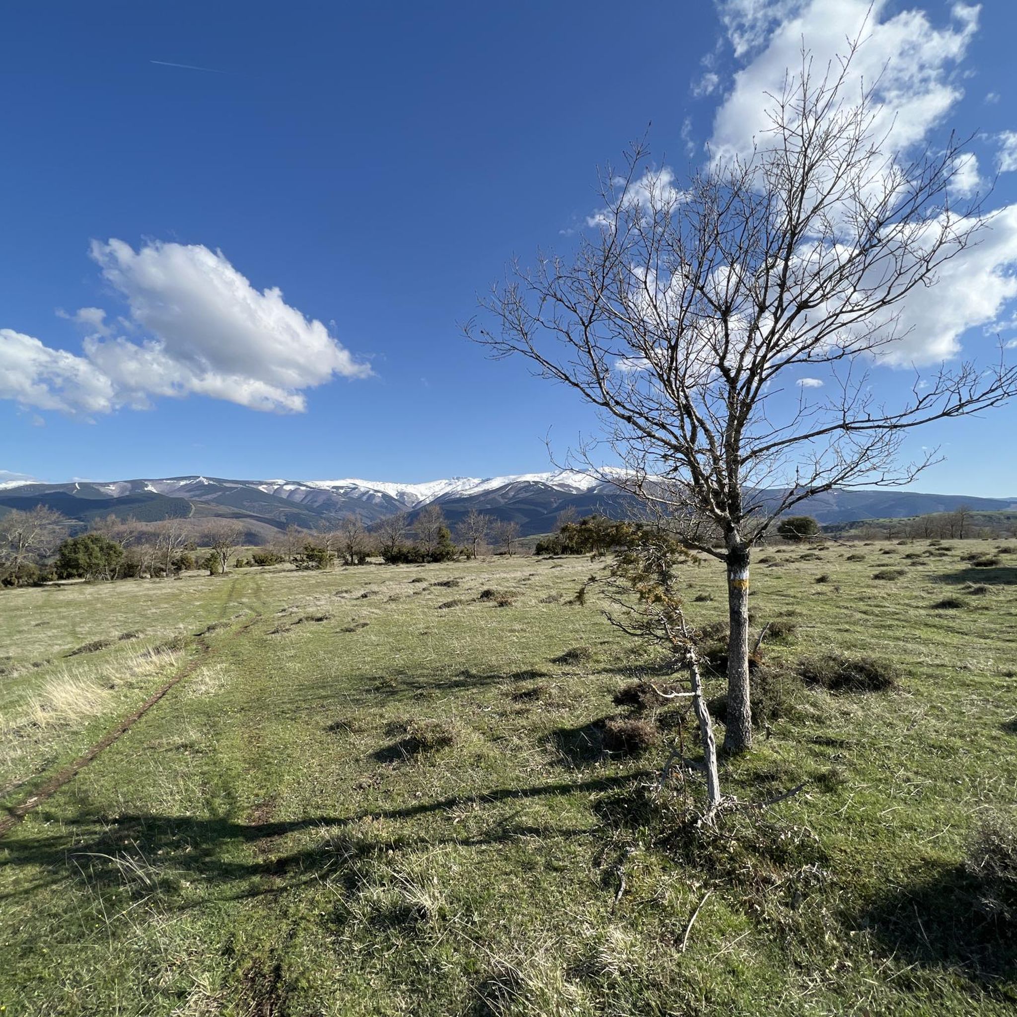
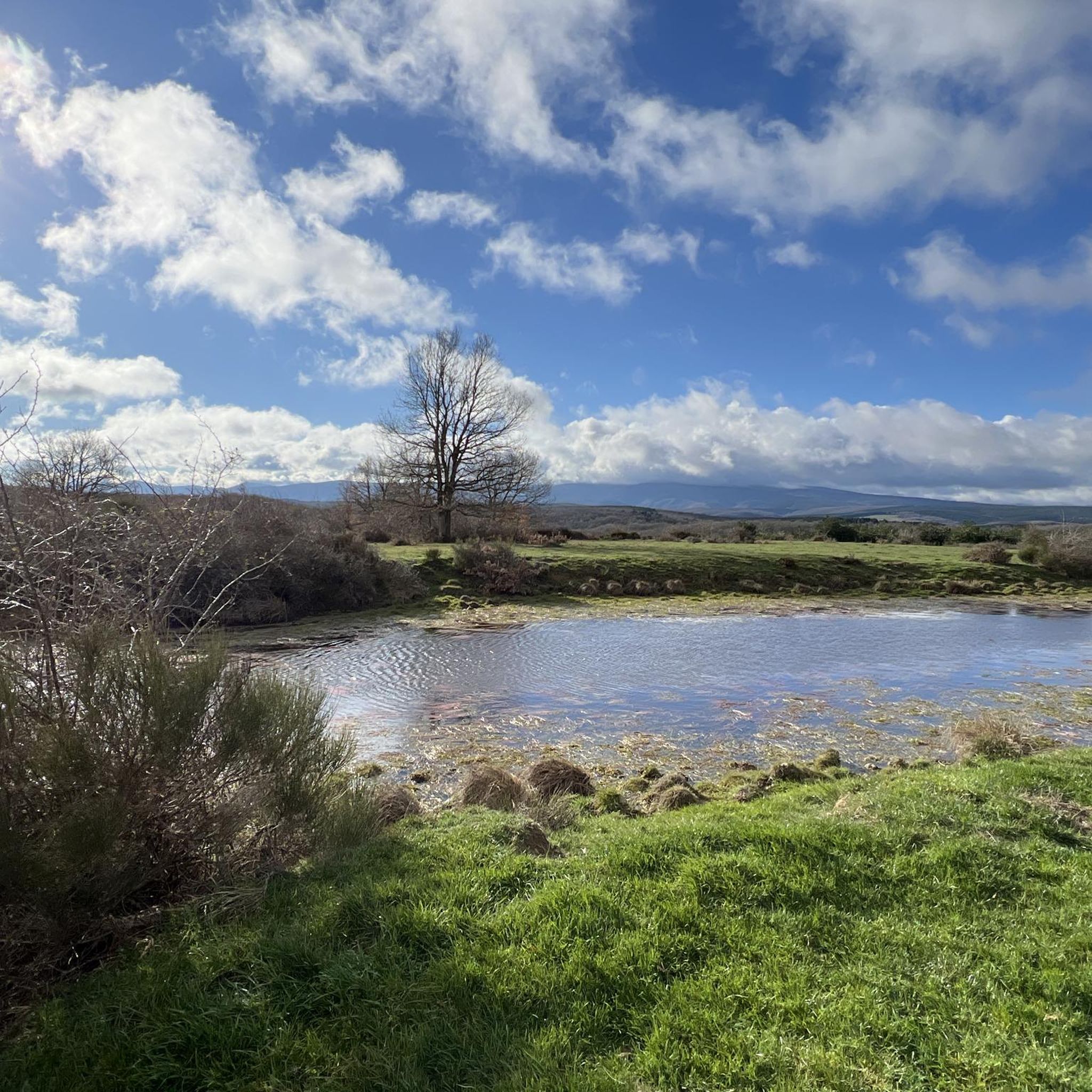
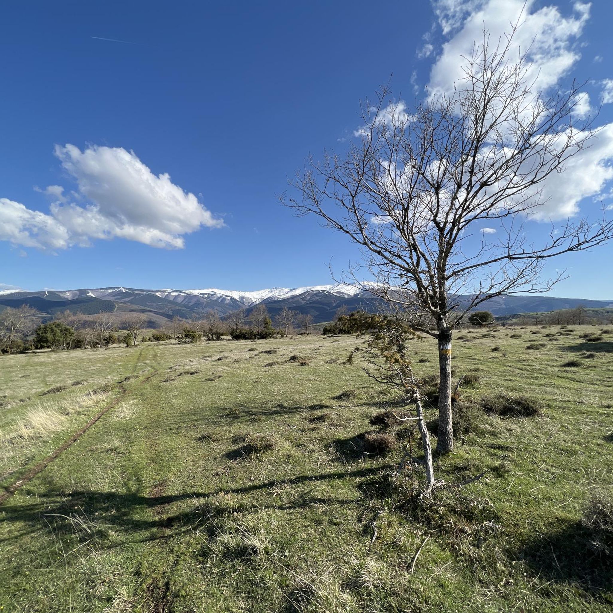
El Puerto del Manquillo is located between the towns of Pineda de la Sierra and Riocavado de la Sierra. The pass is an excellent starting point for excursions and visiting the main peaks of the sierra. The route of the Vía Verde de la Sierra Demanda also passes through the port.
0
0

beautiful climb via the greenway or the road
1
0

Spectacular area for hiking routes
0
1
We spent the weekend camping there and had a great time.
0
0
Nice area for hiking and mountain biking trails
0
0
Nice area for hiking and mountain biking trails
0
0
Nice area for hiking and mountain biking trails
1
0

There is always the solution to difficult points: doing them by road.
0
0
Frequently Asked Questions
How many mountain bike trails are available around Pradoluengo?
There are over 20 mountain bike trails around Pradoluengo, offering a variety of experiences within the Sierra de la Demanda. These include 1 easy, 14 moderate, and 9 difficult routes, catering to different skill levels.
What kind of terrain can I expect on mountain bike trails in Pradoluengo?
The terrain around Pradoluengo is characterized by the rugged Sierra de la Demanda, featuring significant elevation changes and diverse forests of beeches, pines, hollies, and oaks. You'll find a mix of challenging climbs, flowing singletrack, and scenic paths, with the town itself at 962 meters and elevation differences up to 1,000 meters in the municipal area.
Are there any easy mountain bike trails suitable for beginners in Pradoluengo?
Yes, there is at least one easy mountain bike trail available. While many routes offer moderate to difficult challenges, beginners can find suitable options to enjoy the region's natural beauty.
What are some notable natural features or landmarks I might see while mountain biking in Pradoluengo?
Mountain bikers can enjoy stunning natural features and landmarks. The region is known for its diverse forests and the source of the Oropesa River. You might also encounter mountain passes like Alto de la Pradilla, and enjoy expansive views from points such as Cruz De Guirnaldo or Majada De Los Ciervos.
What do other mountain bikers enjoy most about the trails in Pradoluengo?
The mountain bike trails in Pradoluengo are highly rated by the komoot community, with an average score of 4.4 stars from over 10 reviews. Riders often praise the varied terrain, the challenging climbs, and the stunning views from points like Cruz de Guirnaldo, as well as the diverse forest landscapes.
Are there any long-distance or challenging mountain bike routes in the area?
Yes, Pradoluengo offers several challenging routes for experienced riders. For example, the Alarcia – Trigaza Peak loop from Alarcia is a difficult 47.6 km trail with significant elevation changes, typically taking over 5 hours. Another demanding option is the Puerto del Manquillo – Pineda de la Sierra loop from Alarcia, which spans nearly 60 km.
Can I find circular mountain bike routes around Pradoluengo?
Yes, many of the mountain bike routes in the area are designed as loops. For instance, the popular Fuente La Teja – Bonicaparra Shelter loop from Valgañón is a moderate 29.3 km circular trail, and the challenging Cruz de Guirlando loop from Pradoluengo is also a loop covering 39.4 km.
What is the best time of year for mountain biking in Pradoluengo?
While not explicitly stated, the diverse forests of beeches, pines, hollies, and oaks suggest that the region offers beautiful scenery throughout the seasons. The varied terrain is generally accessible for mountain biking for much of the year, though specific conditions may vary with weather.
Are there any mountain passes that can be reached by bike in Pradoluengo?
Yes, the Alto de la Pradilla is a notable mountain pass in the region, located at an altitude of 1,244 meters. It features a 6-kilometer ascent with an average gradient of 5.2%, providing a challenging and rewarding route for cyclists and marking the border between La Rioja and Burgos.
Are there any trails that offer views of the Sierra de la Demanda?
Absolutely. Many trails in the Pradoluengo area provide stunning vistas of the Sierra de la Demanda. For example, the Cruz de Guirlando loop from Pradoluengo leads to expansive views from points like Cruz De Guirnaldo, offering panoramic sights over the mountain range.
What is the difficulty level of most mountain bike trails in Pradoluengo?
The majority of mountain bike trails in Pradoluengo are rated as moderate or difficult. Out of 24 available routes, 14 are moderate and 9 are difficult, indicating that the area is well-suited for riders seeking a challenge, though there is also one easy option.
Most popular attractions around Pradoluengo

Get inspired with the komoot mobile app


Explore more
Browse the best MTB trails in other regions.
