The best walks and hikes around O Saviñao
4.4
(140)
1,006
hikers
26
hikes
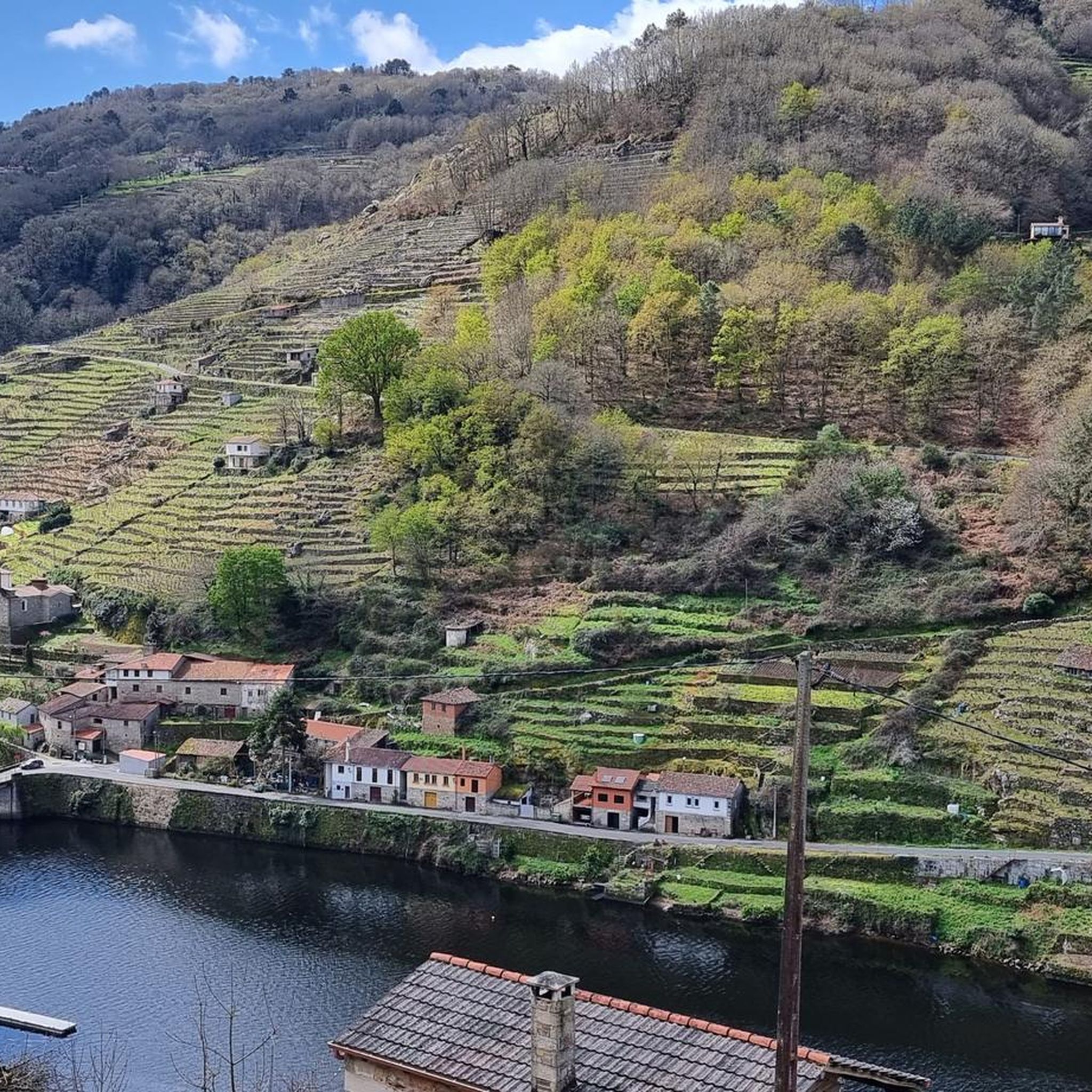
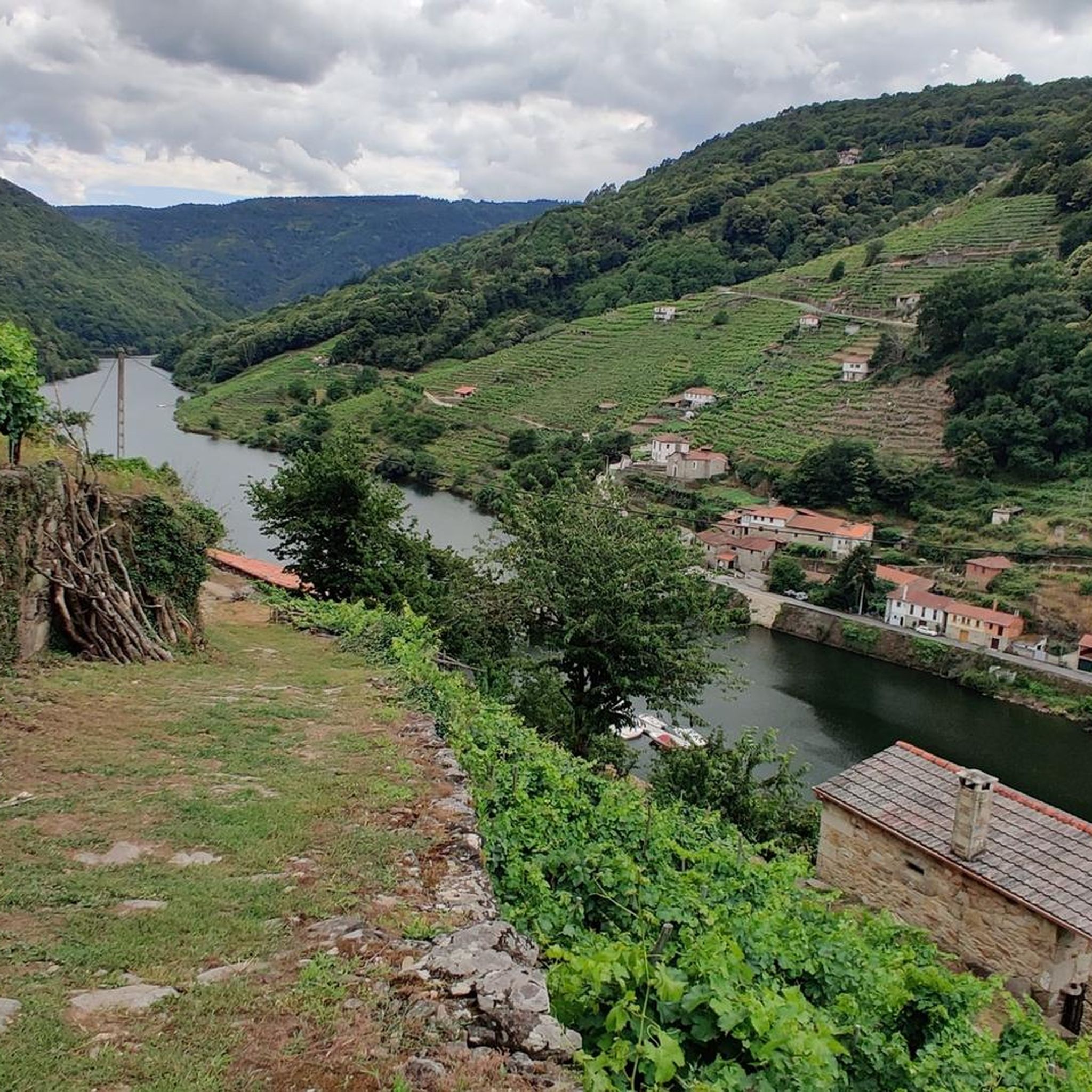
Hiking around O Saviñao offers diverse terrain within the Ribeira Sacra region, characterized by deep river canyons and terraced vineyards along the Miño River. The landscape features varied altitudes, averaging 600 meters above sea level, with routes traversing forests of chestnut and oak. Numerous rivers, including the Sardiñeira and Barrantes, contribute to a lush environment. This topography provides a range of hiking experiences from river valleys to higher grounds.
Best hiking trails around O Saviñao
- The most popular hiking route…
Last updated: October 17, 2026
4.8
(21)
98
hikers
4.92km
01:29
170m
170m
Easy hike. Great for any fitness level. Easily-accessible paths. Suitable for all skill levels.
4.5
(4)
17
hikers
10.3km
02:57
230m
220m
Moderate hike. Good fitness required. Easily-accessible paths. Suitable for all skill levels.

4.6
(8)
99
hikers
3.61km
01:21
140m
140m
Moderate hike. Great for any fitness level. Mostly accessible paths. Sure-footedness required.
4.5
(13)
68
hikers
4.24km
01:36
150m
150m
Moderate hike. Great for any fitness level. Mostly accessible paths. Sure-footedness required.
5.0
(2)
27
hikers
7.28km
02:05
110m
110m
Moderate hike. Good fitness required. Mostly accessible paths. Sure-footedness required.
Get access to more routes and recommendations from other explorers.
Already have an account?
Our route recommendations are based on thousands of hikes, rides, and runs completed by other people on komoot.
Start today with a free account
Your next adventure awaits.

Tips from the Community

Right next to the church, less than a stone's throw away, there is another small sacred monument: supported by a round stone column, which rests on a multi-tiered base at the bottom and ends with a decorated capital at the top, there is a stone crucifix, i.e. a cross with the corpus of Jesus Christ.
3
0

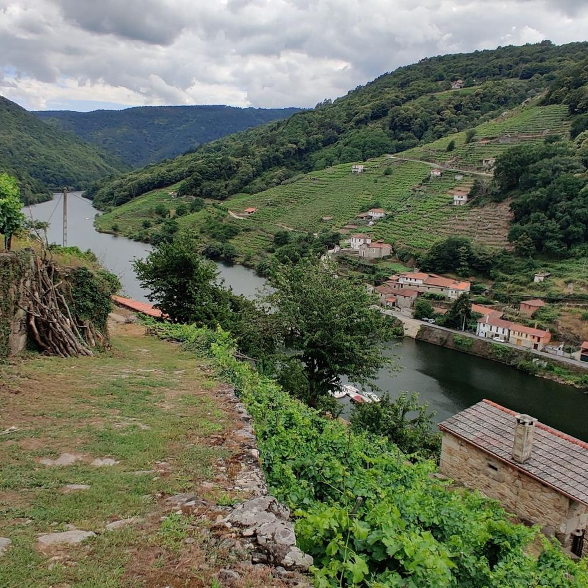
Belesar is notable for its ethnographic and natural heritage, including the Embarcadero de Belesar, which is used by catamarans and has cafe-restaurant services. In addition, the village has a rich history related to the Miño River and the reservoir created by the construction of the Peares reservoir. 😎🌄🚶♀️
18
0
The Belesar Bridge is a significant construction in the Ribeira Sacra region of Galicia. This bridge crosses the Miño River and connects the towns of Chantada and O Saviñao. Originally, there was a Roman bridge at this location, but the Fenosa company built the current bridge on the large and strong pillars of the original, which can still be seen in times of high drought. The village of Belesar, divided on both sides of the Miño River, is known for the beauty of its landscape, its vineyards and as a historical crossing point between the Chantada region and the Tierras de Lemos. In addition, it is a prominent place in the production of cherries and has a pier from where river routes depart along the Miño River. The bridge is also part of the Winter Way to Santiago de Compostela, an alternative route to the traditional French Way that was used by the Romans to avoid mountainous areas during the harshest months of winter. 🚶♀️🌄😎🌉
19
0
It is a recent construction, carried out due to the creation of the Peares reservoir. The church has a rectangular floor plan with a square presbytery to which a rectangular sacristy is added on the right side. The walls are made of masonry and granite ashlar, with gabled and three-pitched roofs1. Inside, it preserves what was the altarpiece of the old parish church, moved to this new building. The altarpiece is in Baroque style and bears the inscription: "SI HIZO Y PINTO SIENDO CURA BERNARDO DE ROCA AÑO DE 1747"⛪🚶♂️🌄🚶♀️
19
0

Perfect view of the Miño River. Some people dare to jump into the river from above 🤩👏
7
0
Beautiful and very well preserved🏘️👌
5
0
Area within La Ribeira Sacra, an impressive destination in Galicia, Spain. It includes the banks of the Cabe, Sil and Miño rivers, and its landscape is simply captivating. It is a natural and cultural treasure worth exploring. Enjoy your visit! 😊
6
0
Frequently Asked Questions
How many hiking trails are available in O Saviñao?
There are over 20 hiking trails in O Saviñao, offering a diverse range of experiences. These include routes through river valleys, terraced vineyards, and forests, catering to various fitness levels.
What kind of terrain can I expect on hikes in O Saviñao?
Hikes in O Saviñao traverse varied terrain, from deep river canyons along the Miño River to terraced vineyards and lush forests of chestnut and oak. The region's average altitude of 600 meters above sea level ensures a mix of ascents and descents, providing diverse landscapes for exploration.
Are there any easy hiking trails suitable for beginners in O Saviñao?
Yes, O Saviñao offers several easy hiking trails perfect for beginners or those seeking a relaxed walk. For example, the Augacaída Waterfall and Castro de Marce – circular from Marce is an easy 3.1-mile route that features a waterfall and an ancient Celtic settlement.
Can I find circular hiking routes in O Saviñao?
Many of the trails in O Saviñao are designed as circular routes, allowing you to start and end at the same point. An example is the Augacaída Waterfall loop from Torre de Marce, which offers a scenic journey through riverine landscapes.
Are there any waterfalls to see on the hiking trails?
Yes, the region is home to beautiful natural features, including waterfalls. The Augacaída Waterfall and Castro de Marce – circular from Marce route specifically features the impressive Augacaída Waterfall.
What historical sites or landmarks can I discover while hiking?
O Saviñao is rich in history. You can explore ancient Celtic settlements known as 'castros,' such as the one featured on the Augacaída Waterfall and Castro de Marce – circular from Marce trail. The area also boasts Romanesque churches and is part of the historic Camino de Santiago via the "Camino de Invierno," with ancient bridges and chapels.
Are there any trails with great viewpoints in O Saviñao?
Absolutely. The unique topography of O Saviñao, with its deep river canyons and terraced vineyards, offers numerous spectacular viewpoints, known as 'miradores.' These provide panoramic vistas of the Miño River and the surrounding Ribeira Sacra landscape. The Castro Candaz Route, for instance, offers views of the Belesar reservoir.
What do other hikers enjoy most about hiking in O Saviñao?
The komoot community highly rates hiking in O Saviñao, with an average score of 4.6 stars from over 100 reviews. Hikers often praise the dramatic river canyons, the beauty of the terraced vineyards, and the diverse forests. The blend of natural beauty with historical sites is also a frequently mentioned highlight.
Are there any routes that pass by the Miño River?
Yes, the Miño River is a central natural feature of O Saviñao, and many routes offer views or follow its banks. The region is part of the Ribeira Sacra, known for its dramatic landscapes along the Miño, including terraced vineyards that descend to the river's edge. The Miño River itself is a significant highlight.
What is the best time of year to go hiking in O Saviñao?
O Saviñao offers hiking opportunities throughout the year, but spring and autumn are particularly pleasant. Spring brings lush greenery and blooming flora, while autumn showcases vibrant fall colors in the vineyards and forests. Summers are warm, ideal for early morning or late afternoon hikes, and winters can be mild, though some trails might be wet.
Are there any trails that feature vineyards?
Yes, O Saviñao is nestled within the Ribeira Sacra, a region famous for its terraced vineyards. Many hiking routes are integrated with these vineyards, especially those along the Miño River, offering unique sensory experiences as you walk through this distinctive agricultural landscape.
Are there any trails that are suitable for families with children?
While specific 'family-friendly' designations aren't always explicit, many of the easier and moderate routes in O Saviñao can be suitable for families. Look for trails with shorter distances and less elevation gain, such as the Augacaída Waterfall and Castro de Marce – circular from Marce, which offers engaging natural and historical points of interest.
Most popular attractions around O Saviñao

Get inspired with the komoot mobile app


Explore more
Browse the best Hikes in other regions.
