The best walks and hikes around Riner
4.5
(62)
787
hikers
110
hikes
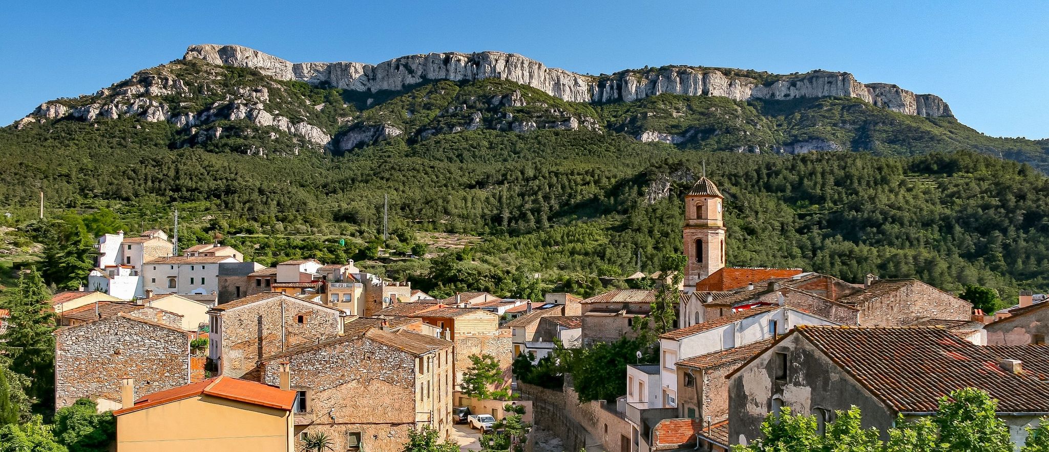
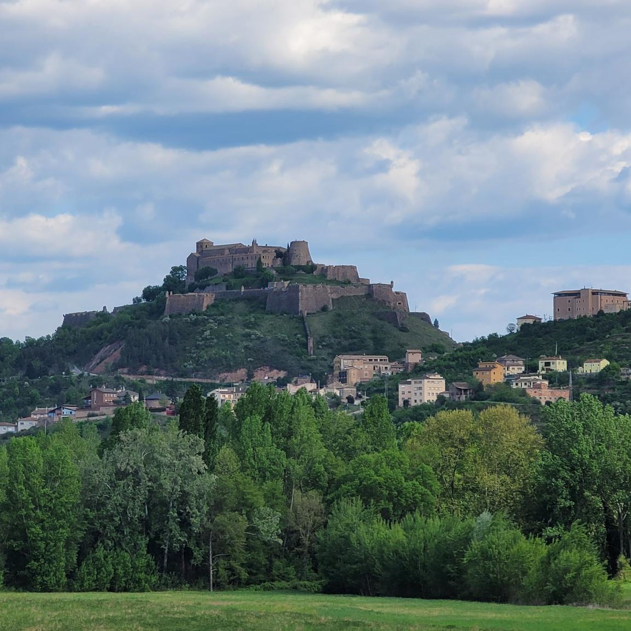
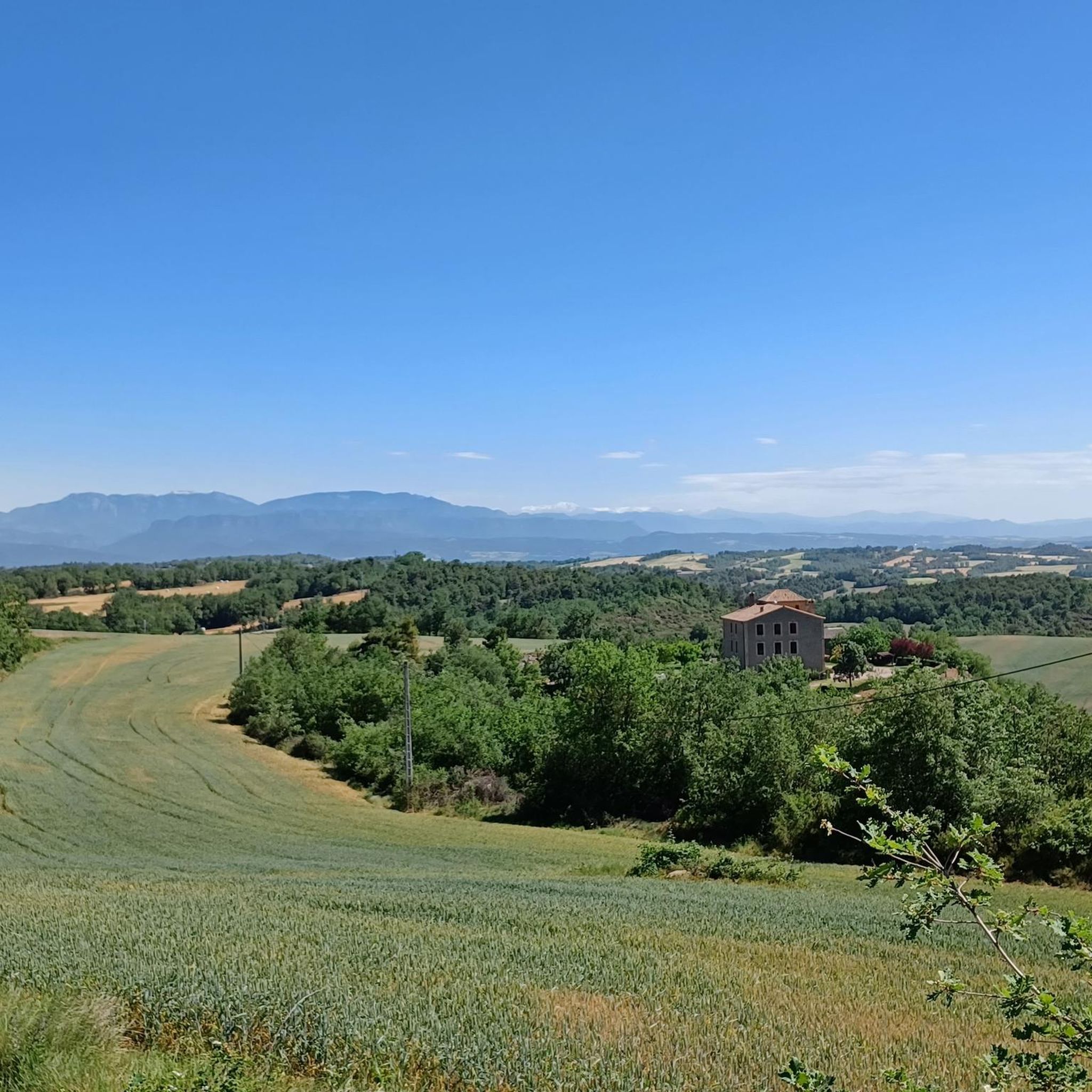
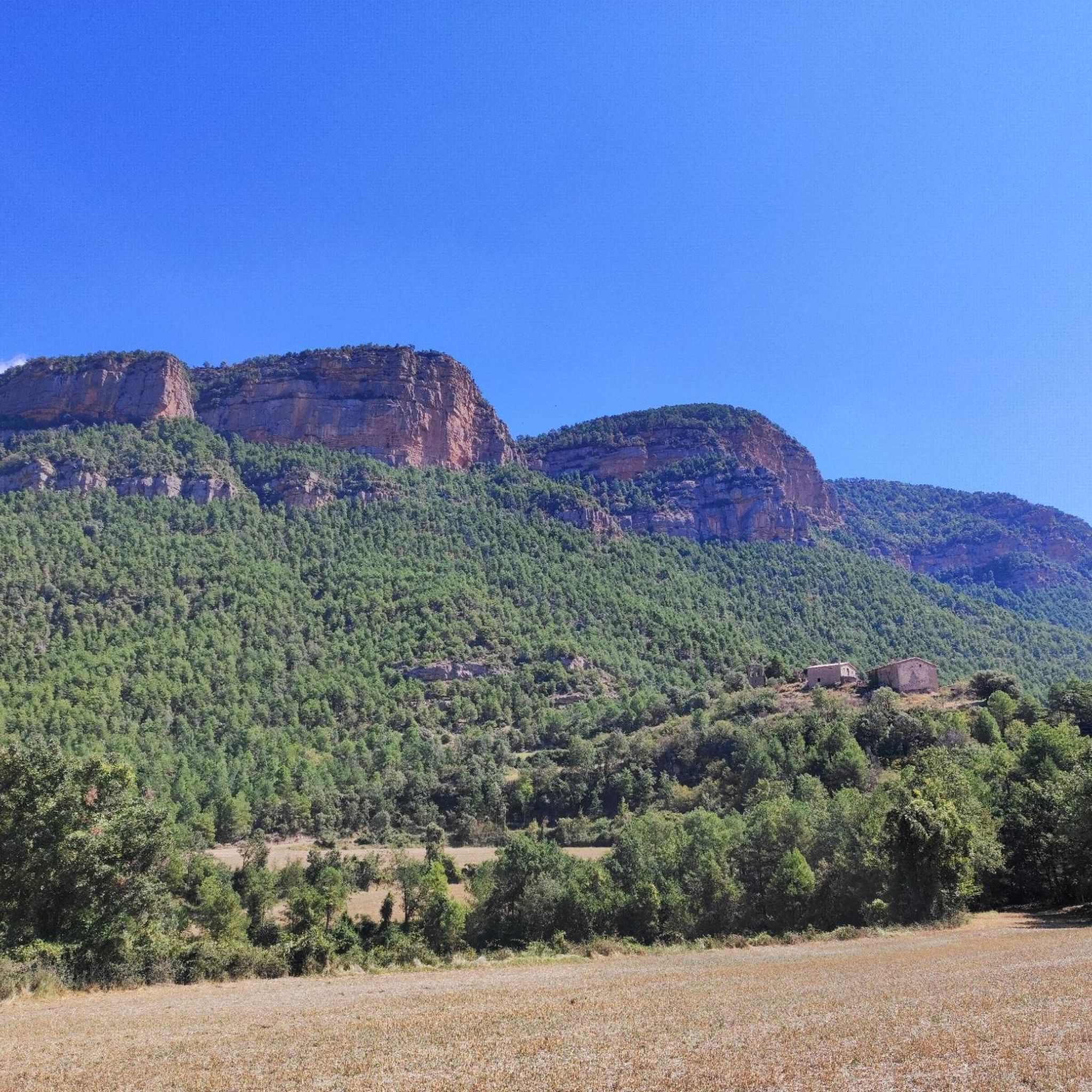
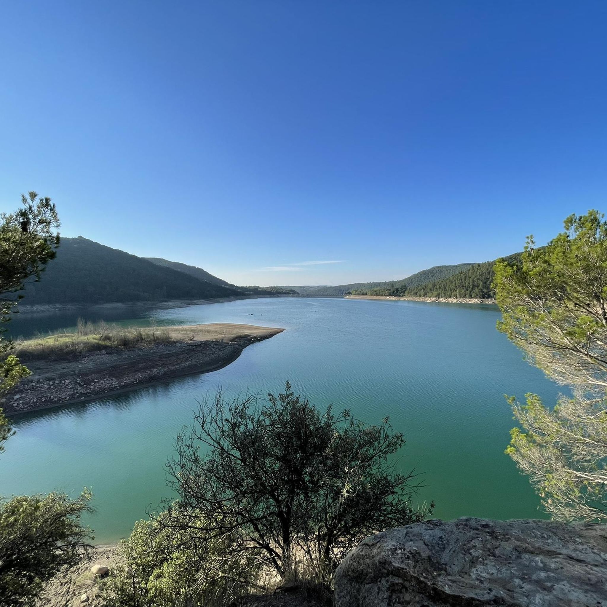
Hiking around Riner is characterized by a landscape of rolling hills, historical sites, and natural water features. The region features routes that pass by ancient castles, sanctuaries, and reservoirs like Embalse de Sant Ponç. Hikers can expect varied terrain, including forested paths and open areas, with moderate elevation changes.
Best hiking trails around Riner
- The most popular hiking route is Madre de la Font y Castellvell — Circular route in Solsonés, a 4.0 miles (6.5 km) trail that takes…
Last updated: August 17, 2026
4.7
(13)
101
hikers
6.54km
01:51
140m
140m
Easy hike. Great for any fitness level. Easily-accessible paths. Suitable for all skill levels.
4.3
(3)
21
hikers
16.8km
04:27
170m
170m
Moderate hike. Good fitness required. Easily-accessible paths. Suitable for all skill levels.

Sign up for free
4.5
(2)
8
hikers
7.56km
02:11
190m
190m
Moderate hike. Good fitness required. Easily-accessible paths. Suitable for all skill levels.
4.5
(2)
2
hikers
7.87km
02:18
220m
220m
Moderate hike. Good fitness required. Mostly accessible paths. Sure-footedness required.
5.0
(3)
28
hikers
8.59km
02:30
190m
190m
Moderate hike. Good fitness required. Mostly accessible paths. Sure-footedness required.
Get access to more routes and recommendations from other explorers.
Sign up for free
Already have an account?
Our route recommendations are based on thousands of hikes, rides, and runs completed by other people on komoot.
Start today with a free account
Your next adventure awaits.
Login or Signup

Other adventures around Riner

Tips from the Community

Remains of an old medieval castle located on a hill with magnificent views over the Cardener valley and the Sant Ponç reservoir. The stones preserve the shape of the walls and evoke the strength of a feudal past. The surroundings are peaceful and full of charm, ideal for a short stop. By mountain bike, you can get there by a track with a gentle slope but with some eroded sections; on the way down, the loose soil can be a problem. Tip: lower the tire pressure and take advantage of the viewpoint to take a photo - the panoramic views are great.
0
0

The tower of the Ardèvol castle is located on top of a small rock, in the center of the town of the same name, next to the parish church of Santa Maria which was the parish church. The administrative center is near the sanctuary of Santa Maria de Pinós, at the top of the Serra de Pinós (931 m). Source: Wikipedia
0
0
Santa Maria de Pinós or Sanctuary of Pinós or Our Lady of Pinós is a church of the municipality of Pinós al (Solsonès) included in the Inventory of the Architectural Heritage of Catalonia. Source: Wikipedia
0
0

Beautiful view of the Solsona Valley and the Pyrenees
1
0


Very close to the Geographical Center of Catalonia.
0
0

We recommend a pizza at Pizzeria la Familia, a crepe at the Moncrep creperie or a cake at the Can Massana patisserie.
1
0
It is the oldest restaurant in Catalonia that has never closed its doors, opening them for the first time in 1524. Stopping for breakfast or lunch there is a must.
0
0
Frequently Asked Questions
How many hiking trails are available around Riner?
Riner offers a diverse network of nearly 90 hiking trails. These routes cater to various skill levels, with a good mix of easy, moderate, and a few more challenging options.
Are there any easy or family-friendly hiking options in Riner?
Yes, Riner has over 30 easy hiking routes, many of which are suitable for families. An excellent choice is the Madre de la Font y Castellvell — Circular route in Solsonés, an easy 4-mile (6.5 km) path that passes historical sites and natural springs, typically taking less than two hours to complete.
Can I find circular hiking routes in Riner?
Absolutely. Many trails in Riner are circular, allowing you to start and end at the same point. For a scenic loop, consider the moderate Embalse de Sant Ponç - Circular Route — Solsonès, which offers beautiful views around the Sant Ponç reservoir.
What kind of landscapes and natural features can I expect to see while hiking in Riner?
Hiking around Riner is characterized by rolling hills, historical sites, and natural water features. You'll encounter forested paths, open areas, and reservoirs like Embalse de Sant Ponç. The terrain generally features moderate elevation changes, offering varied and engaging walks.
Are there any historical landmarks or points of interest along the hiking trails?
Riner is rich in historical landmarks. Many routes pass by ancient castles and sanctuaries. Notable attractions include Castellvell de Olius, the Ardèvol Castle Tower, and the Castle and Church of Sant Martí de Riner. The Torre de Ardèvol and Castillo de Pinós — Circular Route in Solsonès is a great option to explore some of these historical sites.
What do other hikers say about the trails in Riner?
The trails in Riner are highly regarded by the komoot community, boasting an average rating of 4.5 stars from over 50 reviews. Hikers frequently praise the varied terrain, the historical sites encountered along the way, and the scenic beauty of the reservoirs and forested paths.
Are there any trails that feature water bodies or reservoirs?
Yes, the region is known for its natural water features. The Embalse de Sant Ponç - Circular Route — Solsonès is a popular moderate trail that offers extensive views around the Sant Ponç reservoir.
What is the typical duration for a hike in Riner?
Hikes in Riner vary in length and duration. Easy routes, like the Madre de la Font y Castellvell — Circular route in Solsonés, can be completed in under two hours. Moderate trails, such as the Santuari del Miracle to Bassa de l'Alzina Trail, typically take around two to three hours, while longer routes can extend to four hours or more.
Are there any trails that lead to viewpoints?
Yes, several trails offer rewarding viewpoints. For instance, the area around Coll de Busa provides elevated perspectives of the surrounding landscape. You can also find a specific View of Castell Vell d'Olius, which is a highlight in itself.
What is the nearest town or settlement to the Riner hiking trails?
The town of Solsona is a significant settlement near Riner, offering amenities and serving as a potential starting point for hikes. The Plaça de Sant Joan, Solsona – Solsona loop from Solsona is a moderate route that starts and ends in Solsona.
Are there any trails that pass through parks or recreational areas?
Yes, some routes incorporate local parks. For example, the Madre de la Font y Castellvell — Circular route in Solsonés passes by Mare de la Font Park, offering a pleasant blend of natural and recreational spaces.
Most popular attractions around Riner

Get inspired with the komoot mobile app


Explore more
Browse the best Hikes in other regions.
