The best walks and hikes around Cantimpalos
4.6
(9)
72
hikers
20
hikes
Hiking around Cantimpalos offers access to diverse landscapes in the province of Segovia, Spain. The region features varied terrain, including river valleys like the Eresma and Pirón, and is situated near significant natural areas such as the Hoces del Río Duratón Natural Park with its limestone gorges and the pine forests of the Sierra de Guadarrama. These natural features provide a range of hiking experiences for different fitness levels.
Best hiking trails around Cantimpalos
- The most popular hiking route is…
Last updated: October 4, 2026
5
hikers
7.80km
01:59
20m
20m
Hike the easy 4.8-mile (7.8 km) Vía Verde del Eresma Trail, exploring diverse landscapes and old railway history near Hontanares de Eresma.
1
hikers
16.6km
04:19
110m
110m
Hike the Vado del Bustar by the Río Pirón, a 10.3-mile circular route from Carbonero el Mayor with varied terrain and progressive difficulty

4.7
(3)
16
hikers
Moderate hike. Good fitness required. Mostly accessible paths. Sure-footedness required.
4.7
(3)
10
hikers
Moderate hike. Good fitness required. Easily-accessible paths. Suitable for all skill levels.
5.0
(2)
21
hikers
8.96km
02:29
90m
90m
Moderate hike. Good fitness required. Mostly accessible paths. Sure-footedness required.
Get access to more routes and recommendations from other explorers.
Already have an account?
Our route recommendations are based on thousands of hikes, rides, and runs completed by other people on komoot.
Start today with a free account
Your next adventure awaits.

Tips from the Community

Carbonero el Mayor is a municipality and Spanish town in the province of Segovia, in the southern part of the autonomous community of Castilla y León. It appears cited in 1247 under the name Carbonero de Liedos; In 1587 it was mentioned as Carbonero la Mayor and in the 19th century it already appeared with its current name.
4
0
Hontanares de Eresma is a charming municipality and town in the province of Segovia, within the autonomous community of Castilla y León. Hontanares de Eresma is mentioned for the first time in 1247 as “Fontanares” and until the 19th century it was simply called “Hontanares”.
2
0
The Hermitage of Our Lady of Las Vegas, located in Los Huertos, Segovia, is a building with a rich history. The hermitage can be dated to the 11th century, its plan is basilica-type, with three naves divided by pillars and attached columns. The hermitage is located in a picturesque environment, near the banks of the Eresma River and next to the Camino de Santiago.
2
0

Carbonero el Mayor is a town located north of the city of Segovia, in the middle of the plain that goes from the Central System and the great plains of Valladolid.
1
0
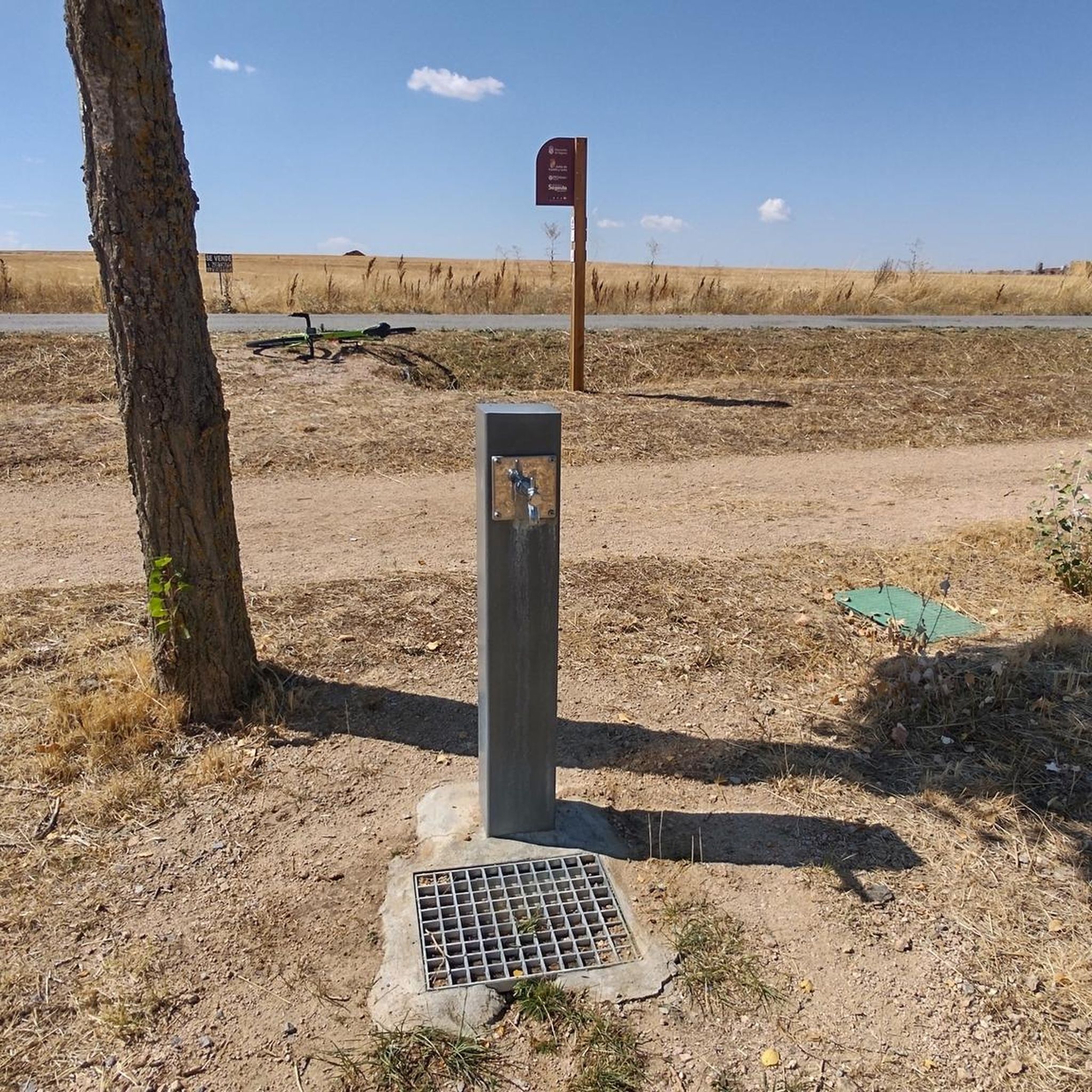
Population center that is divided into two scattered areas, one called Hontanares de Eresma and the other the Estación. This second one was well known since it is where the train station of the center was located and that currently passing through the greenway can still be seen.
1
0
Small hermitage that is located near the Río Eresma and that is surrounded by agricultural fields in the middle of towns on the Segovian plain.
1
0
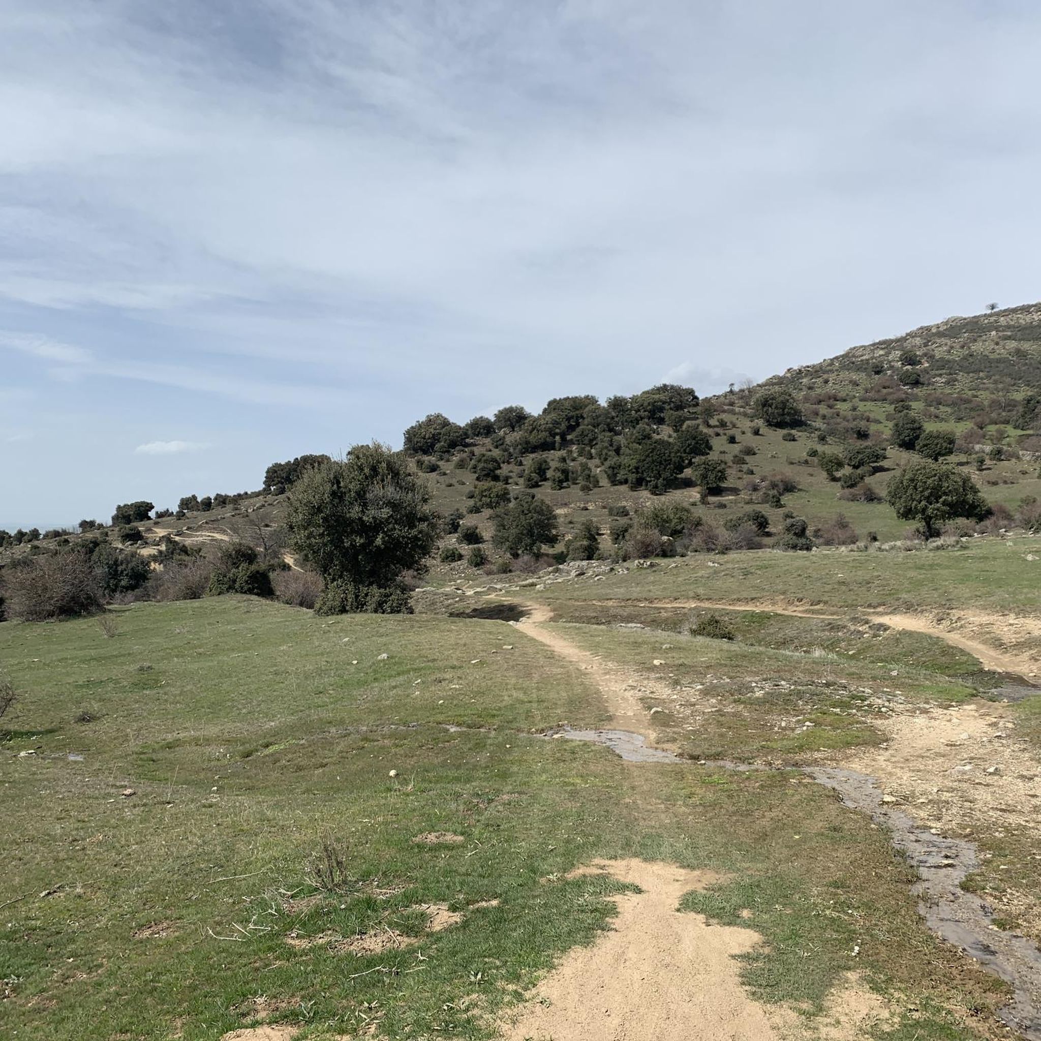
Small hermitage that is located before the town of Peñarrubias de Pirón and is located where the Río Pirón flows. The views of the area are spectacular and on clear days, you can see the entire Sierra de Guadarrama.
0
0

Originally it was called Fontanares due to the abundance of water in its surroundings, probably related to its proximity to the river Eresma from which it receives its surname. Today it is a mostly residential municipality but it retains a peasant spirit due to its location in the Segovian countryside region and its still active agricultural activity.
2
0
Frequently Asked Questions
How many hiking trails are available around Cantimpalos?
There are 13 hiking routes documented around Cantimpalos on komoot. These trails offer a mix of easy and moderate options, with 6 easy routes and 7 moderate routes to explore.
Are there any easy, family-friendly hikes in the Cantimpalos area?
Yes, Cantimpalos offers several easy routes suitable for families. The Vía Verde del Eresma Trail is a particularly good choice, following a greenway path that is accessible for all skill levels. Another easy option is the Cueva de la Vaquera (sur) – Casa de Condesa loop from Peñarrubias de Pirón, which is about 7 km long.
What kind of natural features can I expect to see on hikes near Cantimpalos?
The region around Cantimpalos is characterized by diverse landscapes, including river valleys like the Eresma and Pirón. You'll find open countryside, and the area is close to significant natural parks. The nearby Hoces del Río Duratón Natural Park features dramatic limestone gorges, while the Sierra de Guadarrama offers pine forests and higher peaks.
Are there any circular hiking routes around Cantimpalos?
Yes, there are several circular routes available. For a moderate experience, consider the Carbonero el Mayor and Río Pirón Loop. Another popular moderate circular trail is the Cueva de la Vaquera (sur) – Cueva de los Pedrones loop from Peñarrubias de Pirón, which takes you through a landscape featuring caves. For an easier loop, try the Hiking loop from Espirdo.
What are some interesting landmarks or historical sites to see while hiking in the area?
While hiking around Cantimpalos, you can encounter several points of interest. These include the Old Hontanares de Eresma Station and the Old Yanguas de Eresma Station, remnants of historical railway lines. You might also come across the Ermita de Las Vegas, a religious building, or a Section of the Eresma Valley Greenway, which is part of the Vía Verde. The Zamarramala Pilgrims' Hostel is also nearby.
What is the best time of year to go hiking in Cantimpalos?
Cantimpalos offers pleasant hiking conditions for much of the year. Spring and autumn generally provide mild temperatures and beautiful scenery, making them ideal for exploring the trails. Summer can be warm, so early morning or late afternoon hikes are recommended, while winter offers a different, often quieter, experience.
Are there any long-distance hiking options or natural paths in the region?
Yes, the broader Segovia province, where Cantimpalos is located, features the 'Natural Path of the Western Soriana Royal Cattle Track.' This extensive path stretches nearly 150 kilometers, offering a long-distance hiking experience that traverses various towns and landscapes, often through the lower parts of the Sierra de Guadarrama.
What do other hikers say about the trails in Cantimpalos?
The hiking routes in Cantimpalos are highly rated by the komoot community, with an average score of 4.7 stars. Hikers often praise the varied terrain, from river valleys to open countryside, and appreciate the options available for different ability levels.
Are there any challenging hikes near Cantimpalos?
While the immediate Cantimpalos area primarily offers easy to moderate trails, the proximity to the Sierra de Guadarrama provides opportunities for more challenging hikes. Peaks like Peñalara, the highest in the range, offer more strenuous routes with significant elevation gain for experienced hikers.
Can I spot any wildlife while hiking in the Cantimpalos region?
The diverse natural environment around Cantimpalos and its proximity to natural parks increase the chances of spotting wildlife. The Hoces del Río Duratón Natural Park, for instance, is particularly known for its population of griffon vultures, which can often be seen soaring above the limestone gorges.
Is public transport available to access hiking trails around Cantimpalos?
Information on specific public transport links directly to trailheads is limited. However, Cantimpalos is a town in Segovia, and local bus services typically connect towns within the province. It's advisable to check local bus schedules for routes that might serve villages or starting points of trails outside the main town.
Most popular attractions around Cantimpalos

Get inspired with the komoot mobile app


Explore more
Browse the best Hikes in other regions.
