The best walks and hikes around Alcaudete
4.5
(55)
186
hikers
17
hikes
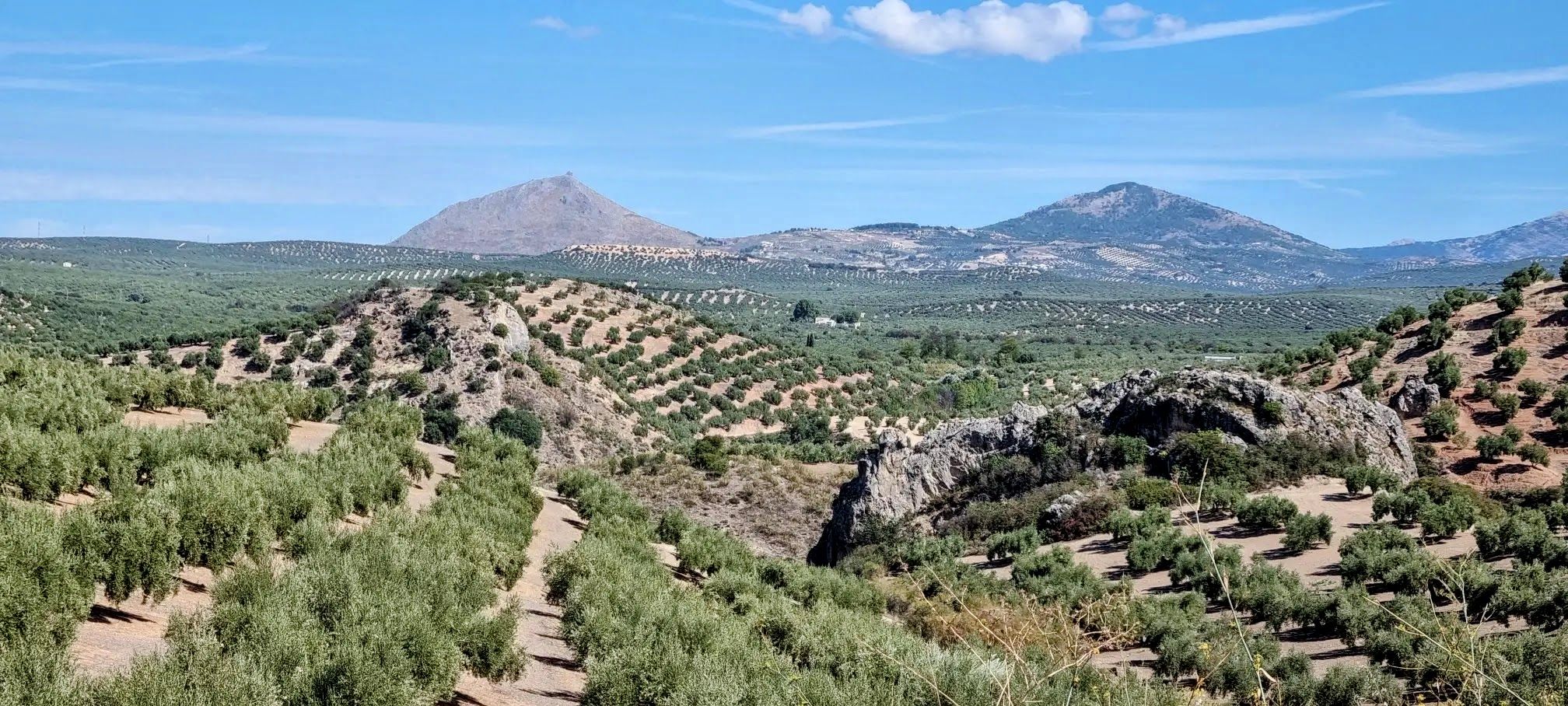
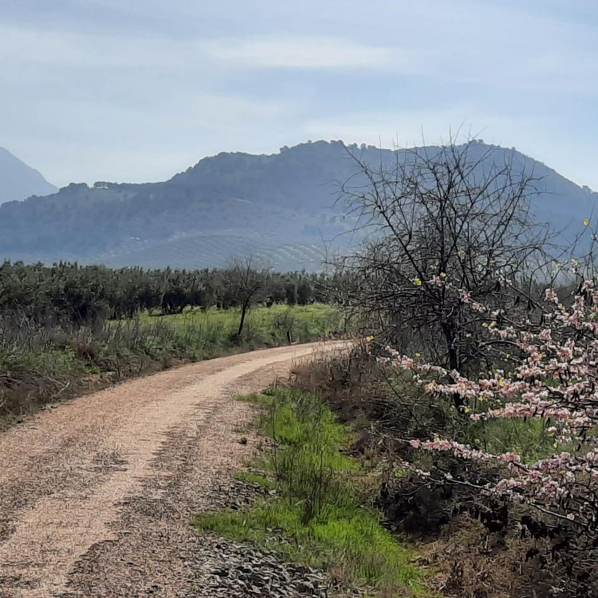
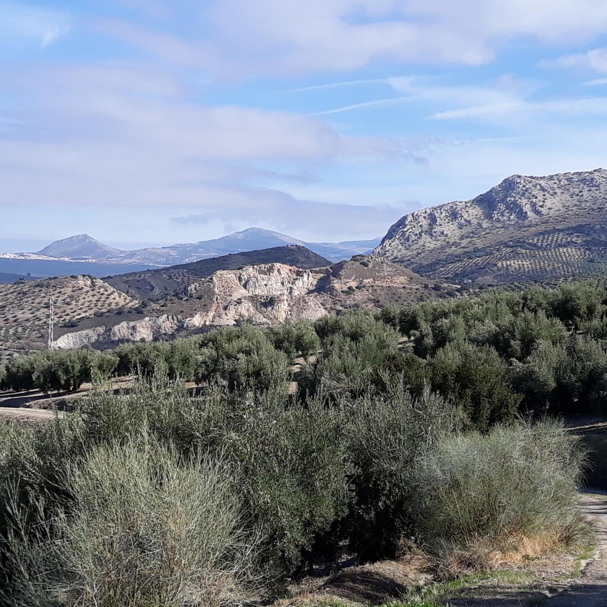
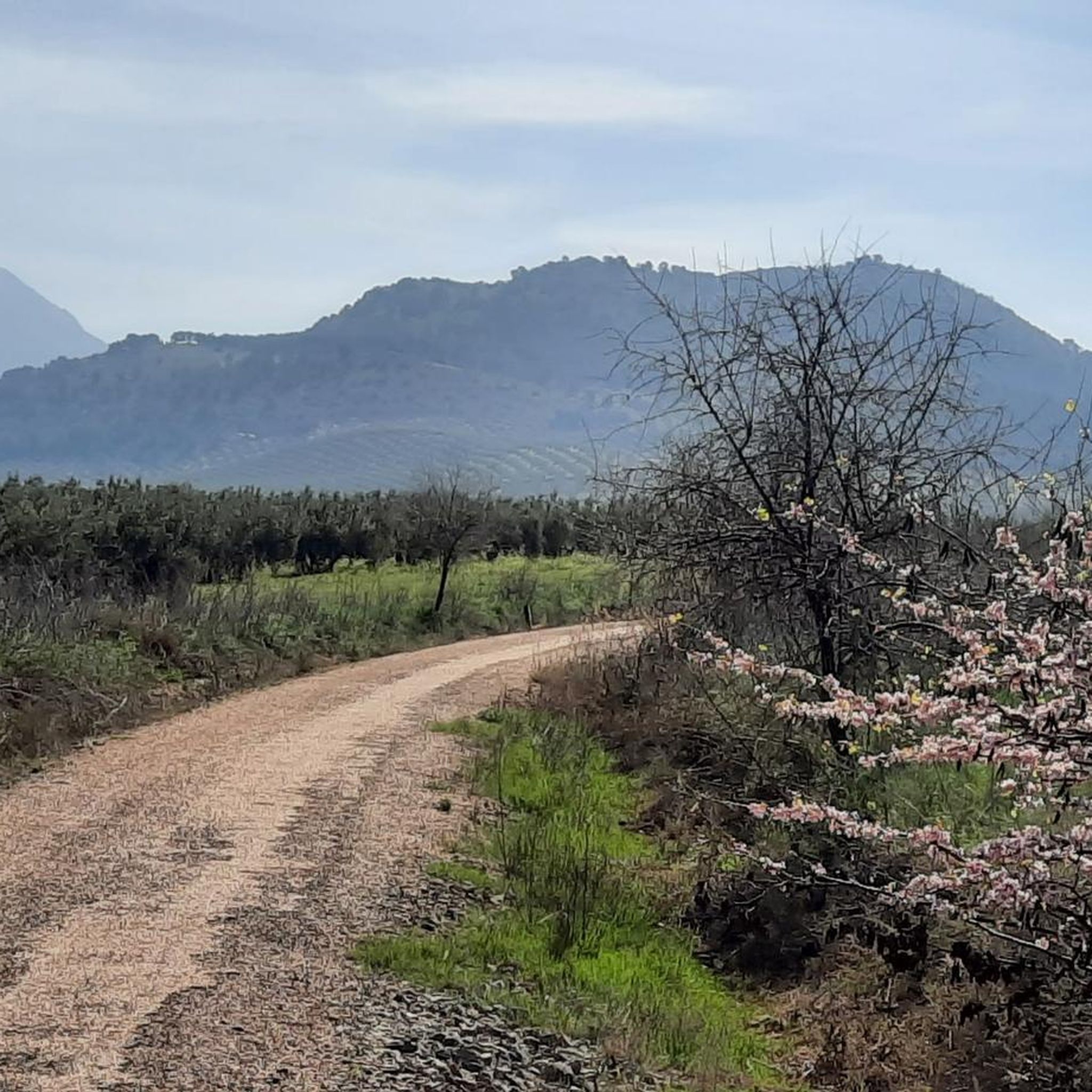
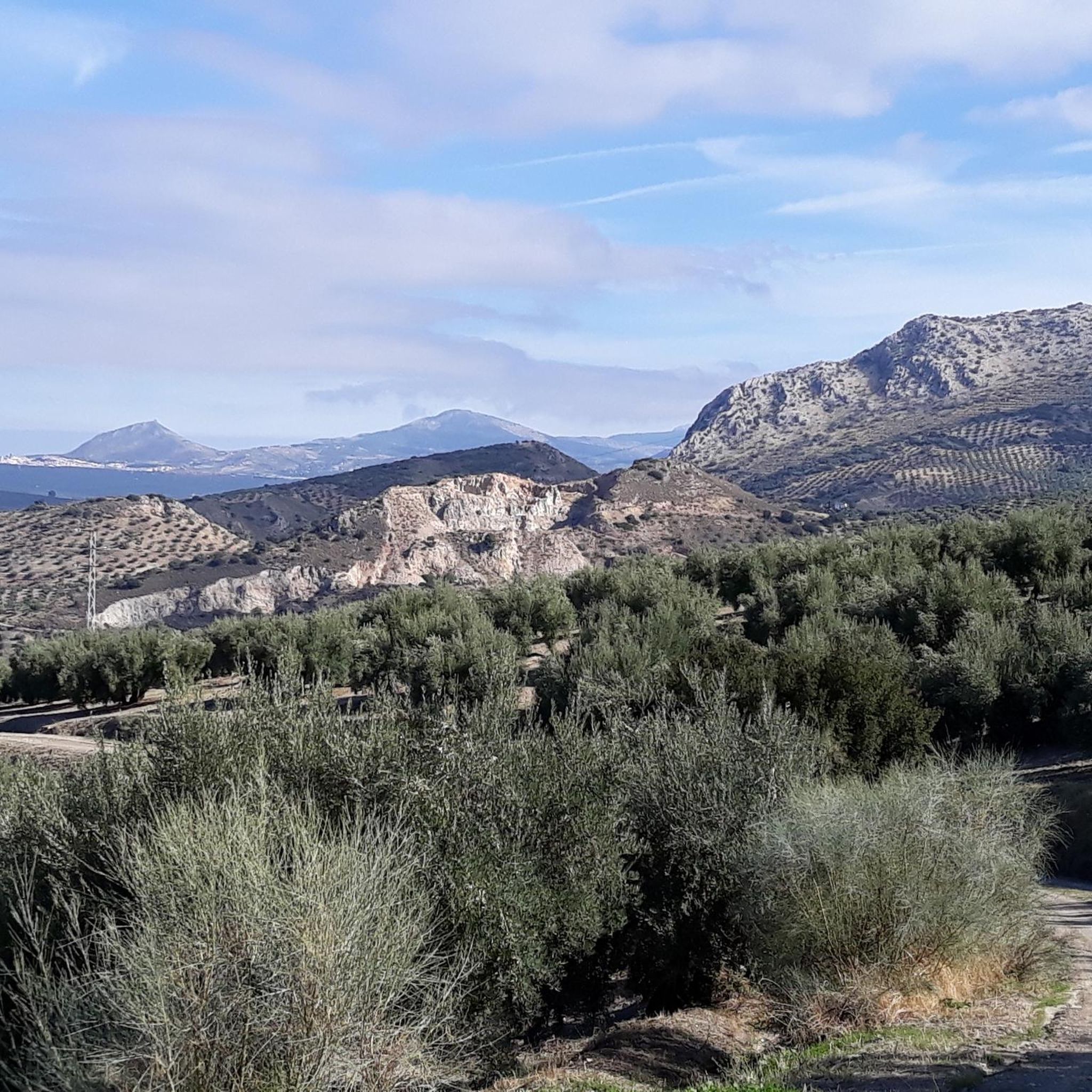
Hiking around Alcaudete offers diverse routes through a landscape characterized by rolling hills, olive groves, and natural water features. The region features several reservoirs and historical sites, providing varied scenery for outdoor activities. Trails often lead through agricultural areas and offer views of the surrounding Andalusian countryside. The terrain is generally accessible, with options ranging from gentle paths to more challenging ascents.
Best hiking trails around Alcaudete
- The most popular hiking route is Cerro de la Cruz and Salto del Caballo Trail, a 5.0 miles (8.1 km) trail that takes 2 hours 26 minutes to complete. This moderate route offers views of local hills and natural features.
- Another top favourite among local hikers is Víboras Reservoir Loop Trail, a moderate 8.9 miles (14.4 km) path. This trail encircles the Víboras Reservoir, providing waterside views and open landscapes.
- Local hikers also love the Castillo de la Encomienda de Víboras - circular from las Casillas, a 5.3 miles (8.5 km) trail leading through historical sites and rolling hills, often completed in about 2 hours 26 minutes.
- Hiking around Alcaudete is defined by rolling hills, reservoirs, and historical landmarks. The network offers options for different ability levels, from easy family friendly hikes to more moderate routes.
- The routes in Alcaudete are highly rated by the komoot community with an average score of 4.4 stars from over 38 reviews. More than 128 hikers have used komoot to explore Alcaudete's varied terrain.
Last updated: October 8, 2026
4.5
(6)
26
hikers
8.06km
02:26
240m
240m
Hike the moderate 5.0-mile Cerro de la Cruz and Salto del Caballo Trail, featuring panoramic views and a stunning 30-meter waterfall.
4.9
(7)
23
hikers
14.4km
03:48
130m
140m
Hike the moderate 8.9-mile (14.4 km) Tour around the Viboras reservoir, offering scenic views of the water and olive groves in Jaén.

2
hikers
8.51km
02:26
200m
200m
Moderate hike. Good fitness required. Easily-accessible paths. Suitable for all skill levels.
3.0
(2)
12
hikers
5.82km
01:42
150m
150m
Easy hike. Great for any fitness level. Easily-accessible paths. Suitable for all skill levels.
4.3
(3)
12
hikers
7.71km
02:04
90m
90m
Moderate hike. Good fitness required. Easily-accessible paths. Suitable for all skill levels.
Get access to more routes and recommendations from other explorers.
Already have an account?
Our route recommendations are based on thousands of hikes, rides, and runs completed by other people on komoot.
Start today with a free account
Your next adventure awaits.



Tips from the Community

It's a vestige awaiting renovation, and despite having undergone some renovations, it remains awaiting definitive support. This former railway station in the city of Martos is a testament to the splendor that the Vía del Aceite (Olive Oil Route) enjoyed during the 20th century, and therefore to the city and all the towns through which the current Vía Verde del Aceite (Olive Oil Green Route) passed. Let's hope that the authorities allocate funds to permanently restore this symbol, which is part of the city, and that it becomes a showcase for cycle tourism travelers who travel along the aforementioned green route.
5
0

The Greenway runs between two roads in Martos; passing through the old station
8
0

The main church of Almedinilla
0
1
Museum of the city's history with archaeological remains. Access is only possible by booking a guided tour.
0
1
Beautiful fountain decorated with a lion's head
0
1
The Colosseum of Almedinilla is a multifunctional, modern building that was modeled on Roman models.
0
1
Currently difficult to access. Extensive construction work is already visible and gives an idea of a beautiful place.
0
1

Along the way you will see ruins of the different flour mills (from the 19th century) that this river moved. There came to be up to ten mills along its bed. Today it feeds the ditches that irrigate the fertile orchards in the surrounding area.
1
1
Frequently Asked Questions
Are there easy hiking trails suitable for beginners or families in Alcaudete?
Yes, Alcaudete offers several easy routes. For instance, the Salto del Caballo Waterfall – Zurreón Waterfall loop from Almedinilla is an easy 3.6-mile (5.8 km) trail that takes about 2 hours to complete, featuring natural water features. Another option is the Zurreón Waterfall – Salto del Caballo Waterfall loop from Almedinilla, which is even shorter at 2.5 miles (4.1 km).
What kind of natural attractions can I expect to see on hikes around Alcaudete?
The region is characterized by rolling hills, olive groves, and natural water features. You can find highlights such as the Vadomojón Reservoir and the Source of the San Juan River. Some trails also lead past waterfalls like the Salto del Caballo and Zurreón.
Are there any circular hiking routes in Alcaudete?
Yes, Alcaudete has several circular routes. A popular choice is the Víboras Reservoir Loop Trail, an 8.9-mile (14.4 km) moderate path offering waterside views. Another is the Castillo de la Encomienda de Víboras - circular from las Casillas, which is 5.3 miles (8.5 km) and passes historical sites.
What historical landmarks can be explored while hiking in Alcaudete?
Alcaudete's trails often lead through areas rich in history. You can explore sites like the Fortaleza de la Mota (Castle of Alcalá la Real) or the Torre del Homenaje of the Castillo de la Villa. The Castillo de la Encomienda de Víboras - circular from las Casillas route specifically highlights historical sites.
What is the typical length and duration of hiking trails in Alcaudete?
Hiking trails in Alcaudete vary in length and duration. Moderate routes like the Cerro de la Cruz and Salto del Caballo Trail are around 5 miles (8.1 km) and take about 2 hours 26 minutes. Longer trails, such as the Víboras Reservoir Loop Trail, can be up to 8.9 miles (14.4 km) and take over 3 hours.
What is the best time of year to go hiking in Alcaudete?
The best time to hike in Alcaudete is typically during the spring (March to May) and autumn (September to November). During these seasons, temperatures are milder, and the landscape is vibrant with spring blooms or rich autumn colors, making for more comfortable hiking conditions than the hot summer months.
Are there any trails that feature waterfalls in the Alcaudete area?
Yes, some trails in the Alcaudete area feature waterfalls. The Salto del Caballo Waterfall – Zurreón Waterfall loop from Almedinilla and the Zurreón Waterfall – Salto del Caballo Waterfall loop from Almedinilla are two routes that specifically highlight these natural cascades.
What do other hikers say about the trails in Alcaudete?
The trails in Alcaudete are highly rated by the komoot community, with an average score of 4.4 stars from over 38 reviews. Hikers often praise the diverse scenery, which includes rolling hills, olive groves, and natural water features, as well as the accessibility of the terrain.
Is it possible to find parking near the trailheads in Alcaudete?
While specific parking information for every trailhead isn't always detailed, Alcaudete is a rural area, and parking is generally available in or near the starting points of trails, especially in smaller villages or designated recreational areas. It's advisable to check local maps or route descriptions for specific parking suggestions.
What kind of wildlife might I encounter on hikes in Alcaudete?
The rural landscape of Alcaudete, with its olive groves and natural areas, supports various wildlife. You might spot common birds of prey, small mammals, and a variety of insects. The reservoirs and water features also attract different bird species, especially during migration seasons.
Are the hiking trails in Alcaudete suitable for winter hiking?
Winter hiking in Alcaudete is generally pleasant, as the climate is mild compared to more northern regions. While temperatures are cooler, heavy snow is rare, making many trails accessible. It's always recommended to check the weather forecast and wear appropriate layers, as mornings can be chilly.
Are there any viewpoints or scenic overlooks along the trails?
Yes, many trails in Alcaudete offer scenic viewpoints due to the region's rolling hills. For example, you can find the Views over the Laguna del Conde and the Laguna Honda Viewpoint, providing expansive vistas of the Andalusian countryside and its natural features.
Most popular routes around Alcaudete
Most popular attractions around Alcaudete

Get inspired with the komoot mobile app


Explore more
Browse the best Hikes in other regions.
