The best mountain hikes around Stužica
4.8
(143)
895
hikers
19
hikes
Mountaineering around Stužica offers challenging routes through a pristine primeval beech forest, part of the UNESCO World Heritage Site in Poloniny National Park. The region is characterized by dense, undisturbed forests, mountainous terrain, and elevations ranging from approximately 620 to 1208 meters above sea level. The landscape includes the Stužica River and culminates at Kremenec, a tri-border peak shared with Poland and Ukraine. This area provides a rigorous outdoor experience for mountaineers.
Best mountaineering routes around Stužica
- The most popular…
Last updated: June 24, 2026
4.6
(7)
57
hikers
8.59km
03:05
480m
480m
Moderate mountaineering route. Good fitness required. Easily-accessible paths. Suitable for all skill levels.
4.5
(2)
27
hikers
7.83km
02:59
520m
530m
Moderate mountaineering route. Good fitness required. Easily-accessible paths. Suitable for all skill levels.

Sign up for free
4.5
(2)
9
hikers
Moderate mountaineering route. Good fitness required. Easily-accessible paths. Suitable for all skill levels.
4.9
(32)
140
hikers
21.2km
06:40
800m
800m
Hard mountaineering route. Very good fitness required. Easily-accessible paths. Suitable for all skill levels.
5.0
(5)
58
hikers
5.10km
01:54
340m
340m
Moderate mountaineering route. Good fitness required. Easily-accessible paths. Suitable for all skill levels.
Get access to more routes and recommendations from other explorers.
Sign up for free
Already have an account?
Our route recommendations are based on thousands of hikes, rides, and runs completed by other people on komoot.
Start today with a free account
Your next adventure awaits.
Login or Signup
Tips from the Community

Beautiful view of Rawki
0
0
The best view point in the Bieszczady Mountains
0
0

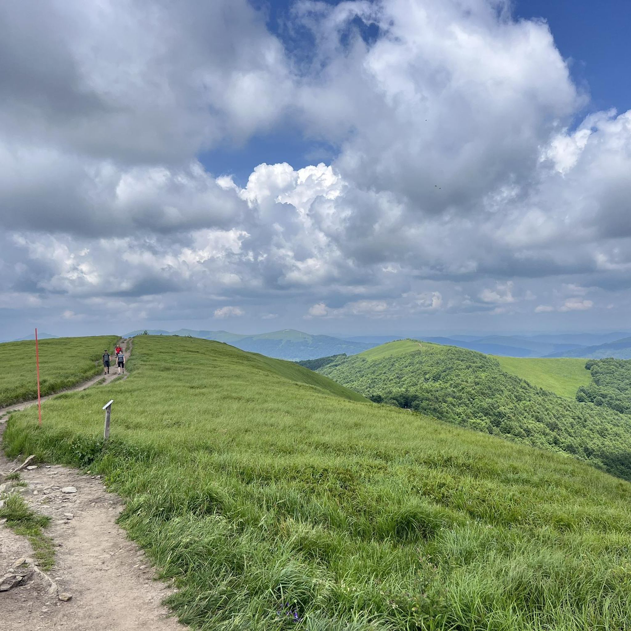
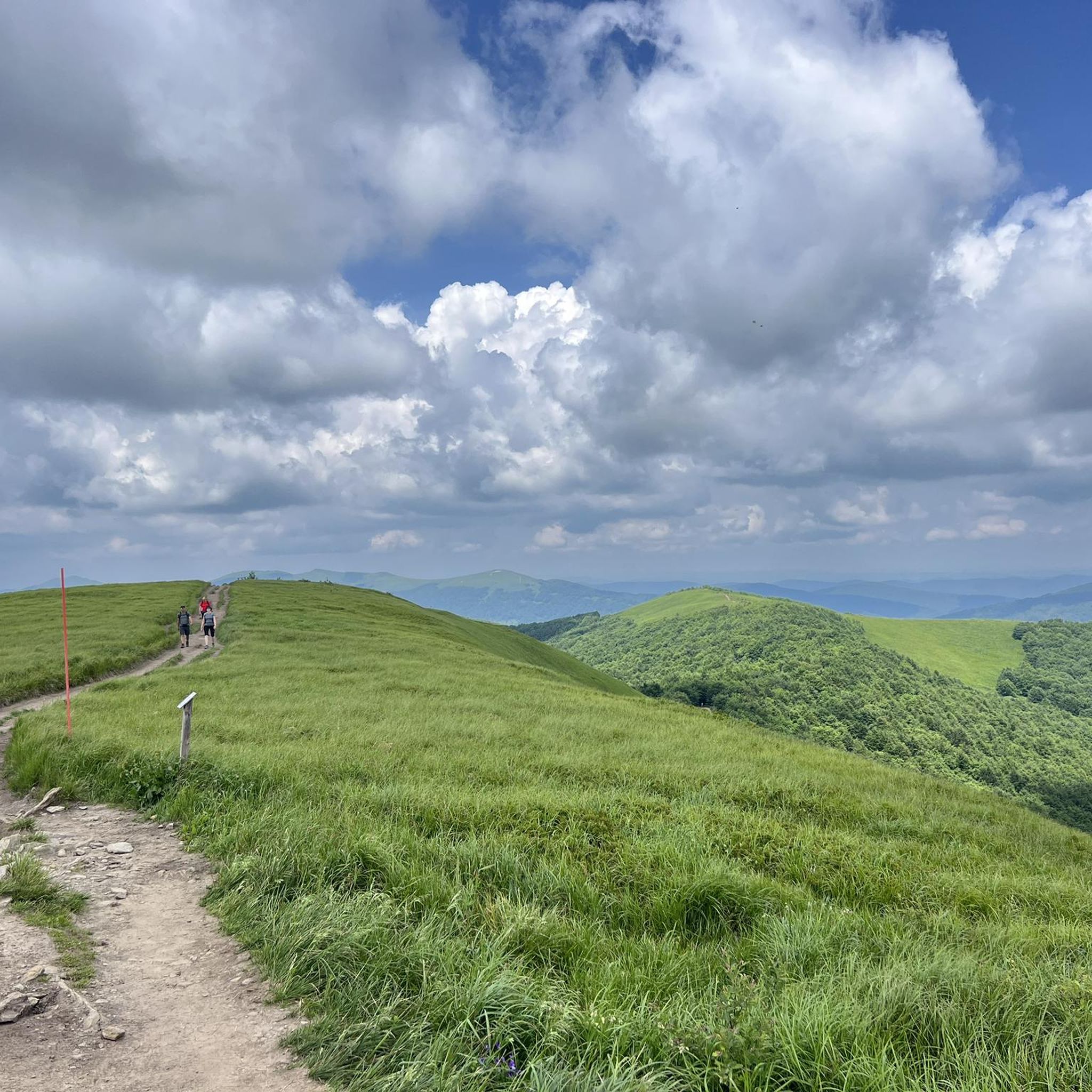
So you've reached Kruhly Wierch, the highest point on Połonina Caryńska (1,297 m). What are those views? From here, you can see the Sanocko-Turczańskie Mountains, Połonina Wetlińska, and the massifs of Mała and Wielka Rawka. A beautiful sight. (There are benches too!)
1
0
This whole area is extraordinary – this mountain pasture offers incredible views of the Bieszczady Mountains. It lies between the Wołosata and Dwernik rivers. From here, it's a short hike to the highest peak in this pasture – Kruhli Wierch (1,297 m). I highly recommend setting off in that direction!
1
0

The view is breathtaking😍
0
0


Beautiful views, in good weather the Tatra Mountains are in the palm of your hand
0
0

For me the old one had that something
0
0
Frequently Asked Questions
What is the general difficulty level of mountaineering routes in Stužica?
Mountaineering in Stužica is generally considered challenging, with routes often classified as 'moderate' to 'difficult'. The terrain demands very good fitness, sure-footedness, and sturdy shoes. Some paths are untouched, requiring navigation around or over fallen trees, and may even require alpine experience due to their strenuous nature.
Are there any routes suitable for beginners in Stužica?
While Stužica is known for its challenging terrain, there are routes classified as 'moderate' that might be more accessible for those with a good level of fitness and some hiking experience. However, true beginner routes are not a primary feature of this region, which caters more to experienced mountaineers.
What kind of terrain can I expect on mountaineering routes in Stužica?
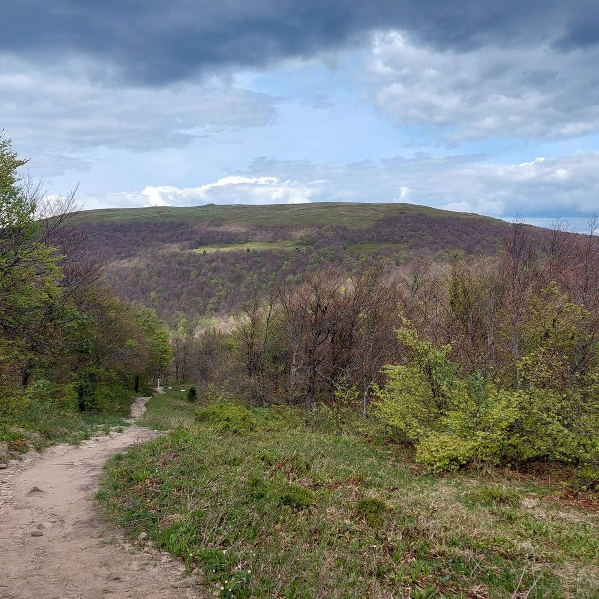
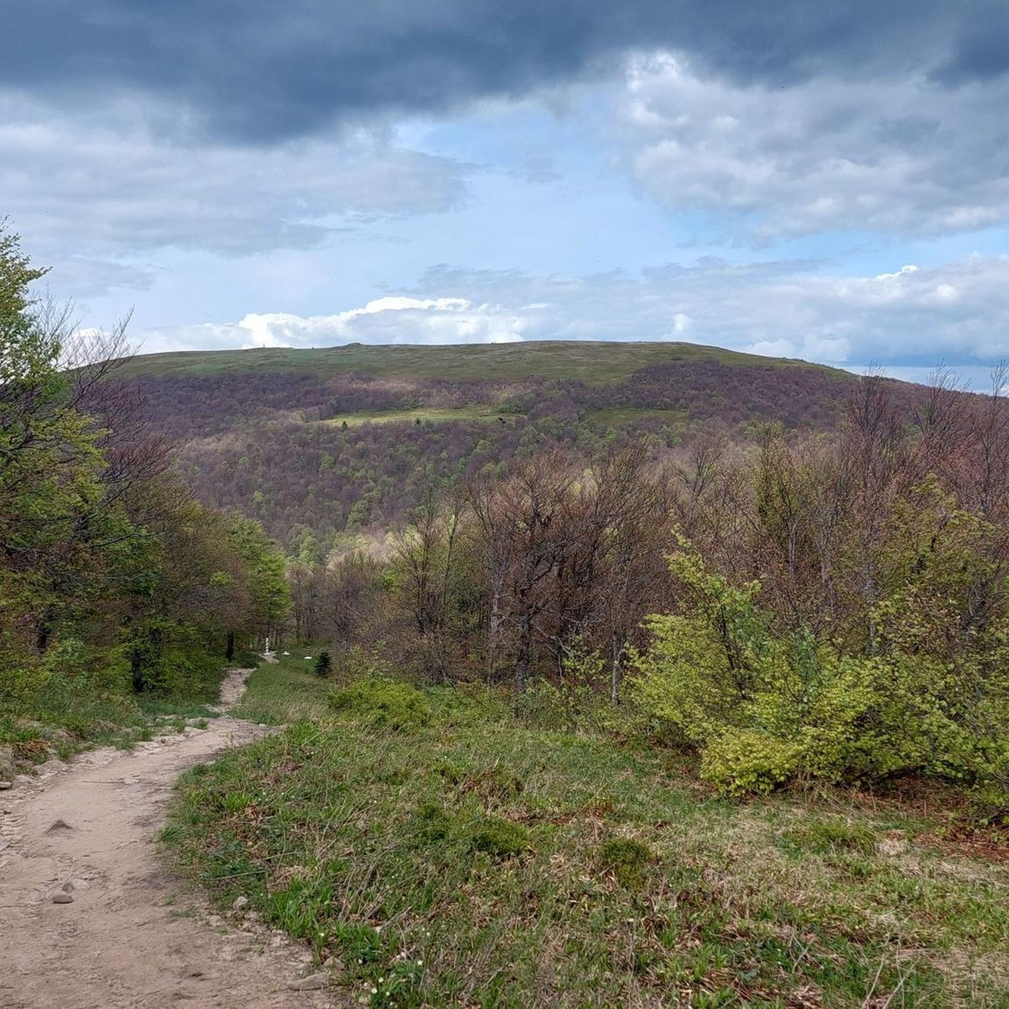
You can expect diverse and often challenging terrain. Routes traverse dense, pristine primeval beech forests, steep shadowy north-facing slopes, and more open south-facing slopes. Paths are frequently untouched, requiring hikers to navigate around or over fallen trees. Elevations range from approximately 620 to 1208 meters above sea level, with significant ascents and descents.
What natural landmarks or points of interest can I see along the mountaineering routes?
The region is rich in natural beauty. You can encounter the Krzemieniec Tri-Border Point, where Slovakia, Poland, and Ukraine meet. Other notable features include the Kamienna Summit, the Small Waterfall in Stužica, and the Stužica National Nature Reserve itself, with its ancient beech forests. You might also cross a Wooden Bridge Over Stream in Stužica Forest.
Can I reach the Kremenec tri-border peak on a mountaineering route?
Yes, Kremenec Peak is a significant landmark in Stužica and is accessible via mountaineering routes. It marks the tri-border point of Slovakia, Poland, and Ukraine, offering a unique destination for hikers seeking to reach this geographical intersection.
Are there any circular mountaineering routes in Stužica?
Yes, Stužica offers several circular mountaineering routes. For example, you could explore the Wielka Rawka – Mała Rawka Peak loop from Bieszczady National Park, the Wyżniańska Pass – Berehy Górne loop from Bieszczady National Park, or the Wyżniańska Pass loop from Bieszczady National Park. These routes allow you to experience the diverse landscape without retracing your steps.
What is the best time of year to go mountaineering in Stužica?
The best time for mountaineering in Stužica is typically during the warmer months, from late spring to early autumn (May to October), when the weather is more stable and trails are clear of snow. This allows for the best experience of the primeval forests and mountainous terrain. Winter mountaineering is possible but requires specialized equipment and experience due to snow and ice conditions.
Is Stužica suitable for family mountaineering trips?
Stužica's mountaineering routes are generally strenuous and challenging, often requiring very good fitness and sure-footedness. While some moderate routes exist, the overall character of the region is geared towards experienced hikers. Families with young children or those seeking easy strolls might find the trails too demanding. It's best suited for families with older, experienced, and fit children.
What do other mountaineers enjoy the most about mountaineering in Stužica?
The area is highly rated by the komoot community, with an average score of 4.8 stars. Reviewers often praise the profound natural silence and the opportunity to experience an undisturbed wilderness. The pristine primeval beech forests, diverse habitats, and the challenging mountainous terrain, including the Kremenec tri-border peak, are frequently highlighted as unique and rewarding aspects of mountaineering in Stužica.
Are there any specific wildlife considerations when mountaineering in Stužica?
Stužica is a UNESCO World Heritage Site known for its diverse habitats and rich biodiversity, including many original Carpathian plants and animals. While specific wildlife encounters are not guaranteed, the undisturbed nature of the forest means you are in a true wilderness. It's always advisable to be aware of your surroundings, respect wildlife, and follow national park guidelines to minimize your impact on this sensitive ecosystem.
How many mountaineering routes are available in Stužica?
There are over 20 mountaineering routes available in Stužica, offering a range of experiences from moderate to difficult. This provides ample choice for those looking to explore the region's unique primeval forests and mountainous landscapes.
Are there any long-distance or multi-day mountaineering options in Stužica?
While individual routes like the Osadzki Peak – Orłowicz Pass loop from Boroło can be quite long, covering over 21 km, the challenging nature of Stužica's terrain means that even single-day routes can be very demanding. For multi-day experiences, you would typically link several routes or explore the wider Poloniny National Park, which borders Poland and Ukraine, offering extensive wilderness opportunities.
Most popular attractions around Stužica

Get inspired with the komoot mobile app


Explore more
Browse the best Mountain Hikes & Routes in other regions.
