The best road cycling routes around Ventrosa
4.4
(15)
285
riders
11
rides
Road cycling routes around Ventrosa are situated in the mountainous region of La Rioja, Spain, within the subregion of Alto Valle del Najerilla. The area features a steep topography with peaks reaching significant elevations, providing challenging climbs and descents. Cyclists encounter a landscape characterized by forests, meadows, and rivers flowing through valleys, offering varied gradients and scenic roads. The Sierra de la Demanda, which includes Ventrosa, is known for its excellent cycling climbs.
Best road cycling routes around Ventrosa
- The…
Last updated: July 12, 2026
4.0
(1)
103
riders
101km
05:44
2,330m
2,330m
This difficult 62.7-mile road cycling route through Alto Najerilla and Sierra Cebollera offers significant climbs and panoramic mountain vie
13
riders
Moderate road ride. Good fitness required. Some segments of this route may be unpaved and difficult to ride.

Sign up for free
31
riders
170km
08:46
3,080m
3,080m
Hard road ride. Very good fitness required. Mostly well-paved surfaces and easy to ride.
5.0
(1)
19
riders
109km
05:31
1,810m
1,810m
Hard road ride. Very good fitness required. Mostly well-paved surfaces and easy to ride.
20
riders
71.6km
04:33
1,990m
1,990m
Hard road ride. Very good fitness required. Mostly well-paved surfaces and easy to ride.
Get access to more routes and recommendations from other explorers.
Sign up for free
Already have an account?
Our route recommendations are based on thousands of hikes, rides, and runs completed by other people on komoot.
Start today with a free account
Your next adventure awaits.
Login or Signup
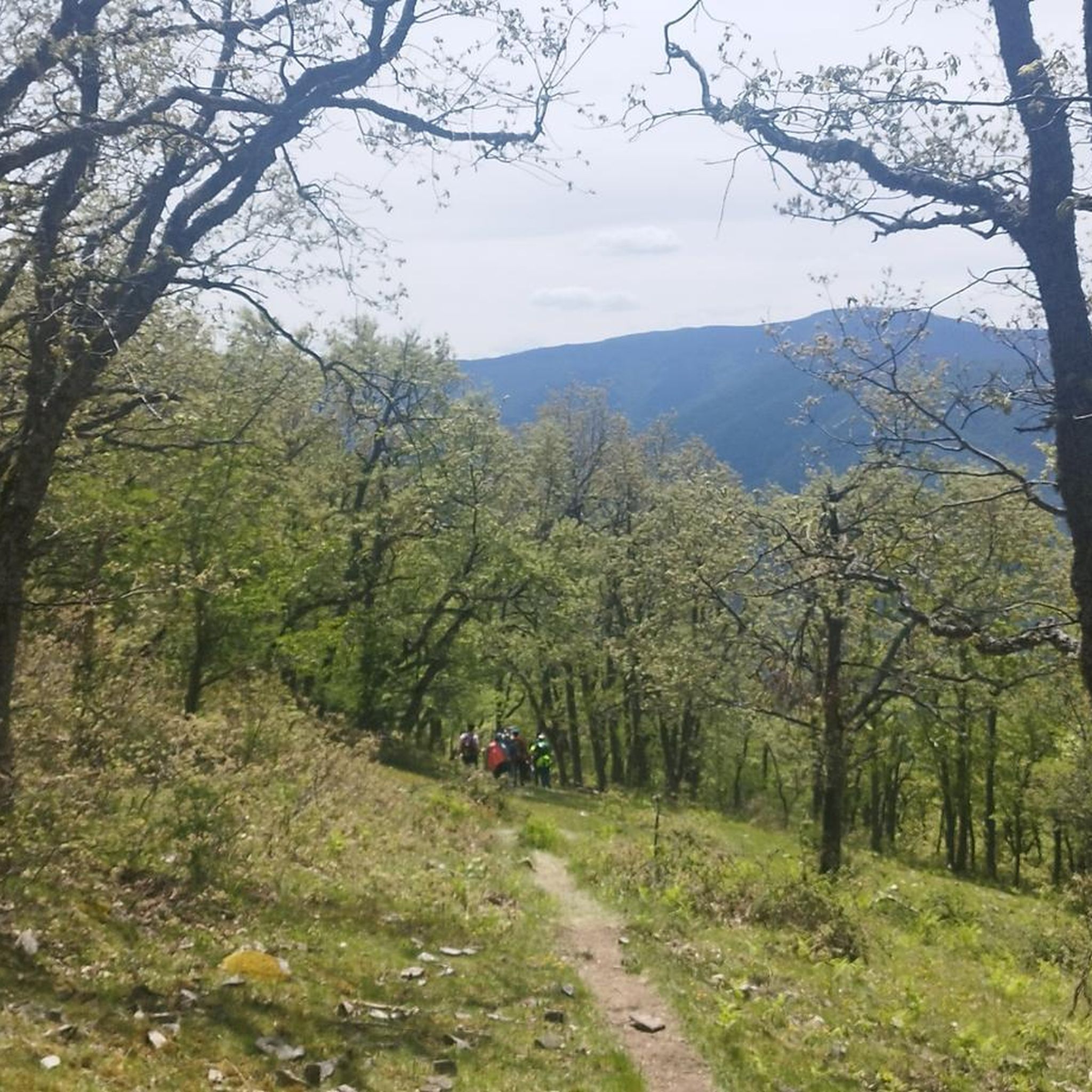
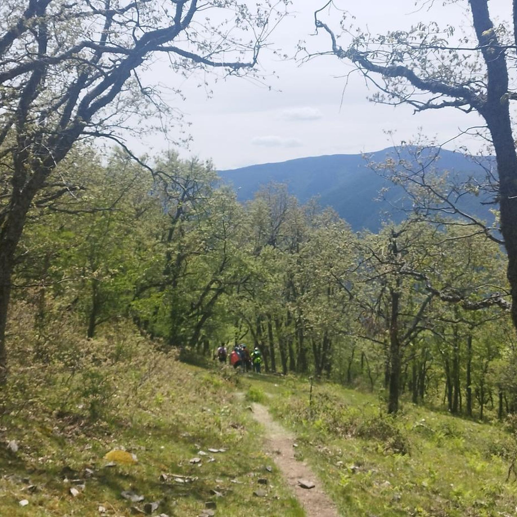
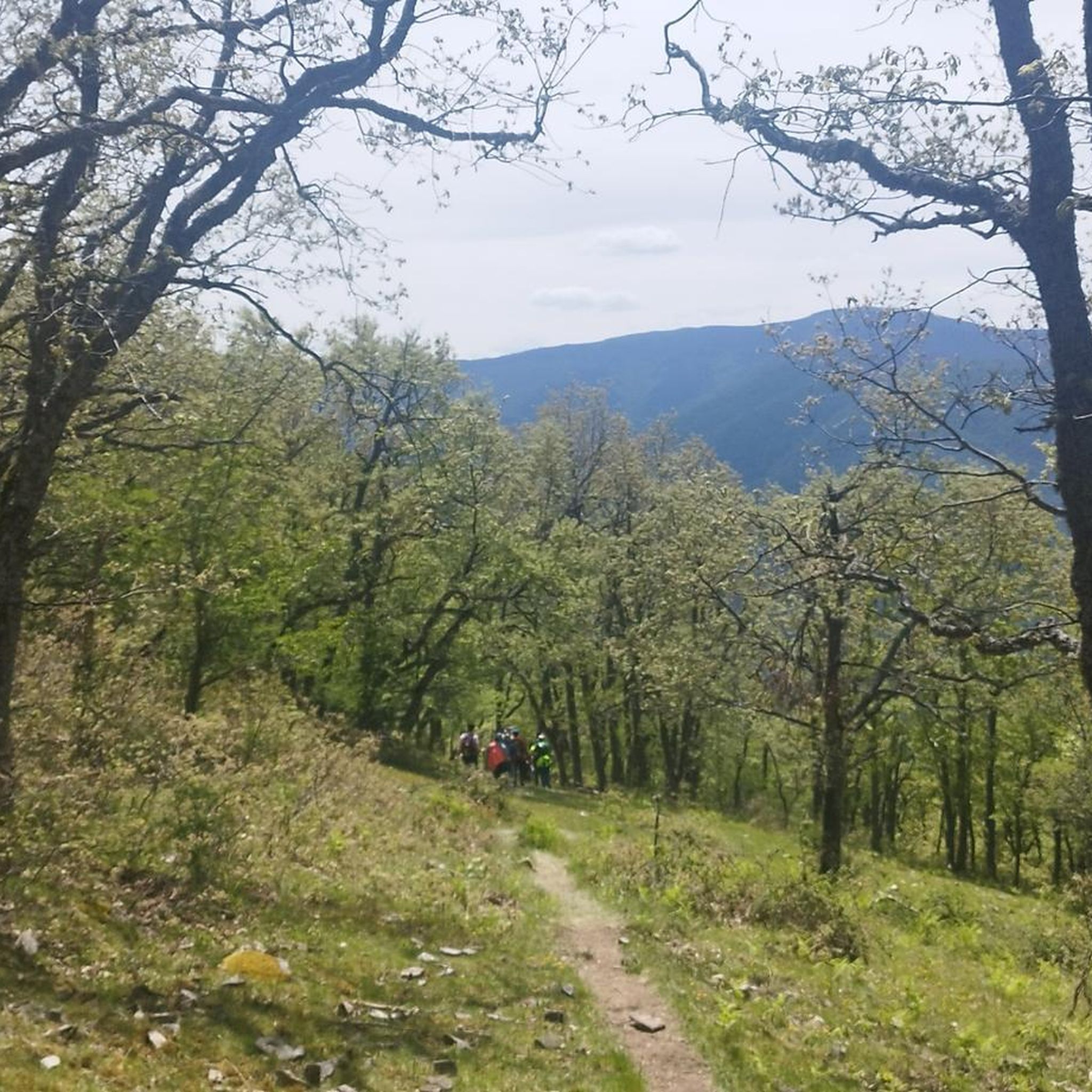
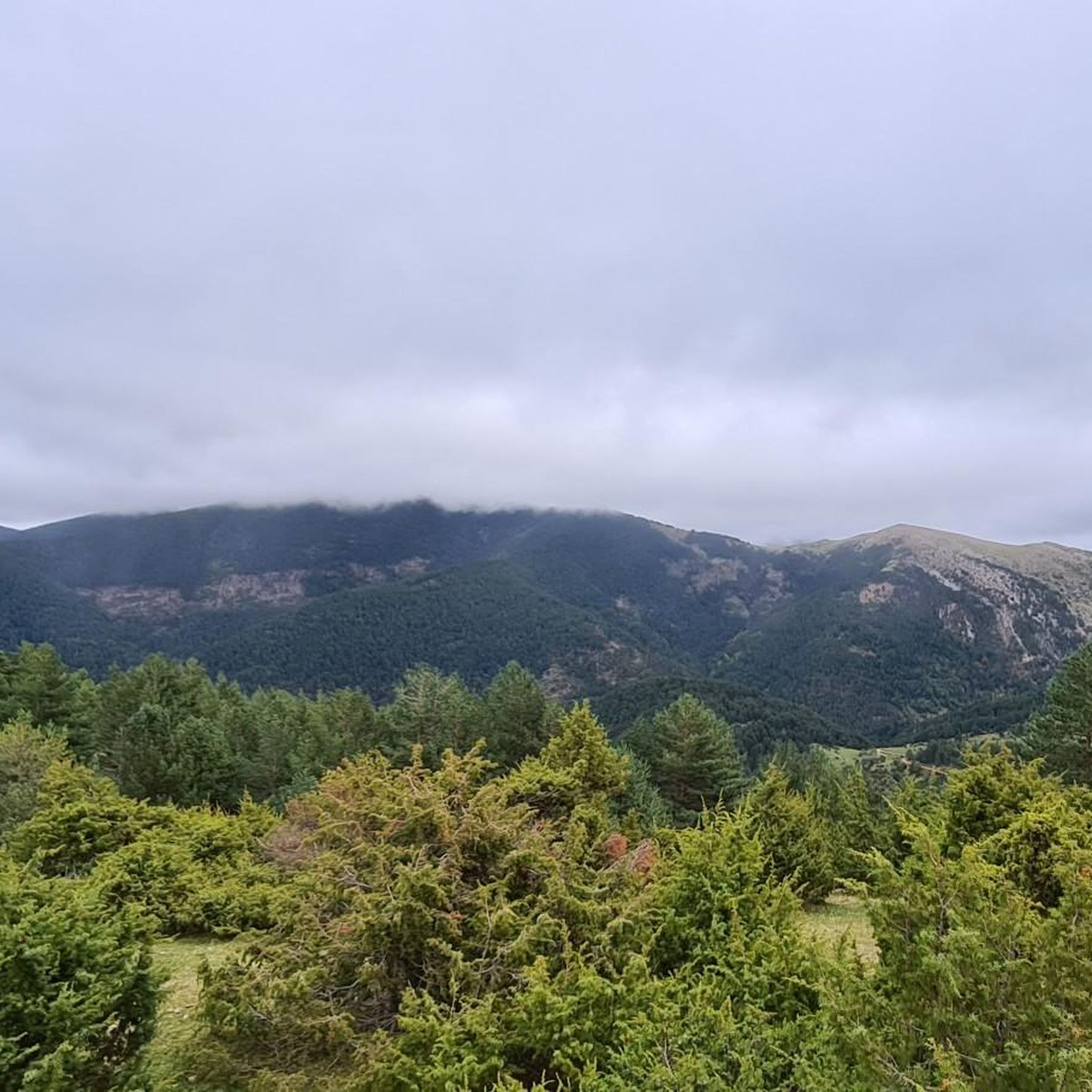
Tips from the Community

Attention, in May 2026 the asphalt is very degraded.
0
0

A recommended area for walking.
0
0
A beautiful place where you can start your routes
0
0

Be careful, the 12% on the return and in the sun are formidable
0
0

Wonderful to cycle on the little-used road along the reservoir.
2
0

The climb up the road to what is called the Black Lagoon of Urbión is a tough climb but well worth it. When you arrive at the top, the views are beautiful and a few meters away you can reach (with the bike loaded on top) the Black Lagoon.
0
0
The population of Montenegro de Cameros is located in a beautiful natural area that makes it a Site of Community Interest as it is located in the Sierra de Urbión and the Sierra de Cebollero, in a unique but isolated enclave!
0
0
Santa Inés is to the north of the province and it begins on its southern slope in the town of Vinuesa. Port of entity and that lasts several kilometers, where in the middle there is a detour to go to the Laguna Negra.
0
0
Frequently Asked Questions
What kind of terrain can I expect on road cycling routes around Ventrosa?
Road cycling around Ventrosa de la Sierra is characterized by a mountainous landscape with significant elevation changes. You'll find challenging climbs and descents through the Alto Valle del Najerilla, part of the Sierra de la Demanda. The routes often wind through beautiful forests, meadows, and along rivers like the Najerilla, offering varied gradients and scenic views.
Are there road cycling routes suitable for beginners in Ventrosa?
The road cycling routes around Ventrosa are predominantly challenging. Out of 14 available routes, 12 are rated as difficult, and 2 are moderate. There are currently no routes specifically categorized as easy. Cyclists should be prepared for significant climbs and descents.
What are some of the most scenic road cycling routes in the Ventrosa area?
Many routes offer breathtaking views. For a challenging ride with diverse scenery, consider the Montenegro, Peña Hincada, and Santa Inés Passes Loop, which covers multiple mountain passes. Another scenic option is Following the Neila River through Canales de la Sierra — Neila Lagoons Natural Park, which offers varied terrain along the river.
Are there any circular road cycling routes available near Ventrosa?
Yes, many of the road cycling routes around Ventrosa are designed as loops. For instance, the demanding Canales de la Sierra – Peña Hincada Pass loop from Ortigosa de Cameros is a long circular route with significant climbs. Another option is the Anguiano – Neila loop from Anguiano.
What kind of points of interest can I find along road cycling routes in Ventrosa?
Beyond the natural beauty of the Sierra de la Demanda, you can encounter various points of interest. Notable mountain passes like Peña Hincada Pass and Santa Inés Pass are often part of the routes. You might also pass by cultural sites such as the Monasterio de Valvanera or natural features like the Waterfall of the Manzanar Ravine.
What do other cyclists say about road cycling in Ventrosa?
The road cycling routes in Ventrosa are highly rated by the komoot community, with an average score of 4.3 stars from over 10 reviews. Cyclists often praise the challenging climbs, the stunning natural landscapes, and the quiet country roads that wind through forests and river valleys.
What is the best time of year for road cycling in Ventrosa?
The region's mountainous character suggests that spring and autumn are ideal for road cycling, offering pleasant temperatures and vibrant scenery. While specific weather data isn't provided, these seasons generally avoid the intense heat of summer and the potential for snow or colder conditions in winter at higher elevations.
Are there any very long and challenging road cycling routes for experienced riders?
Absolutely. For experienced riders seeking a significant challenge, the Canales de la Sierra – Peña Hincada Pass loop from Ortigosa de Cameros is a formidable option, covering nearly 170 km with over 3000 meters of elevation gain. Another demanding route is the Montenegro, Peña Hincada, and Santa Inés Passes Loop, at over 100 km with 2325 meters of ascent.
Can I find any routes that explore the Neila Lagoons Natural Park area?
Yes, the route Following the Neila River through Canales de la Sierra — Neila Lagoons Natural Park is a moderate 65.5 km path that takes you through this beautiful natural park, following the course of the Neila River and offering varied terrain.
Are there any routes that feature multiple mountain passes?
Yes, the region is known for its mountain passes. The Montenegro, Peña Hincada, and Santa Inés Passes Loop is an excellent example, incorporating several significant climbs and descents over multiple passes, making it a challenging and rewarding ride.
What is the overall difficulty level of road cycling in Ventrosa?
Road cycling in Ventrosa is generally considered difficult. The majority of routes (12 out of 14) are rated as difficult, with the remaining two being moderate. This reflects the steep topography and significant elevation changes characteristic of the Alto Valle del Najerilla and Sierra de la Demanda.
Most popular routes around Ventrosa
Most popular attractions around Ventrosa

Get inspired with the komoot mobile app


Explore more
Browse the best Road cycling routes in other regions.
