The best running trails around Villarejo Del Valle
4.7
(3)
158
runners
18
runs
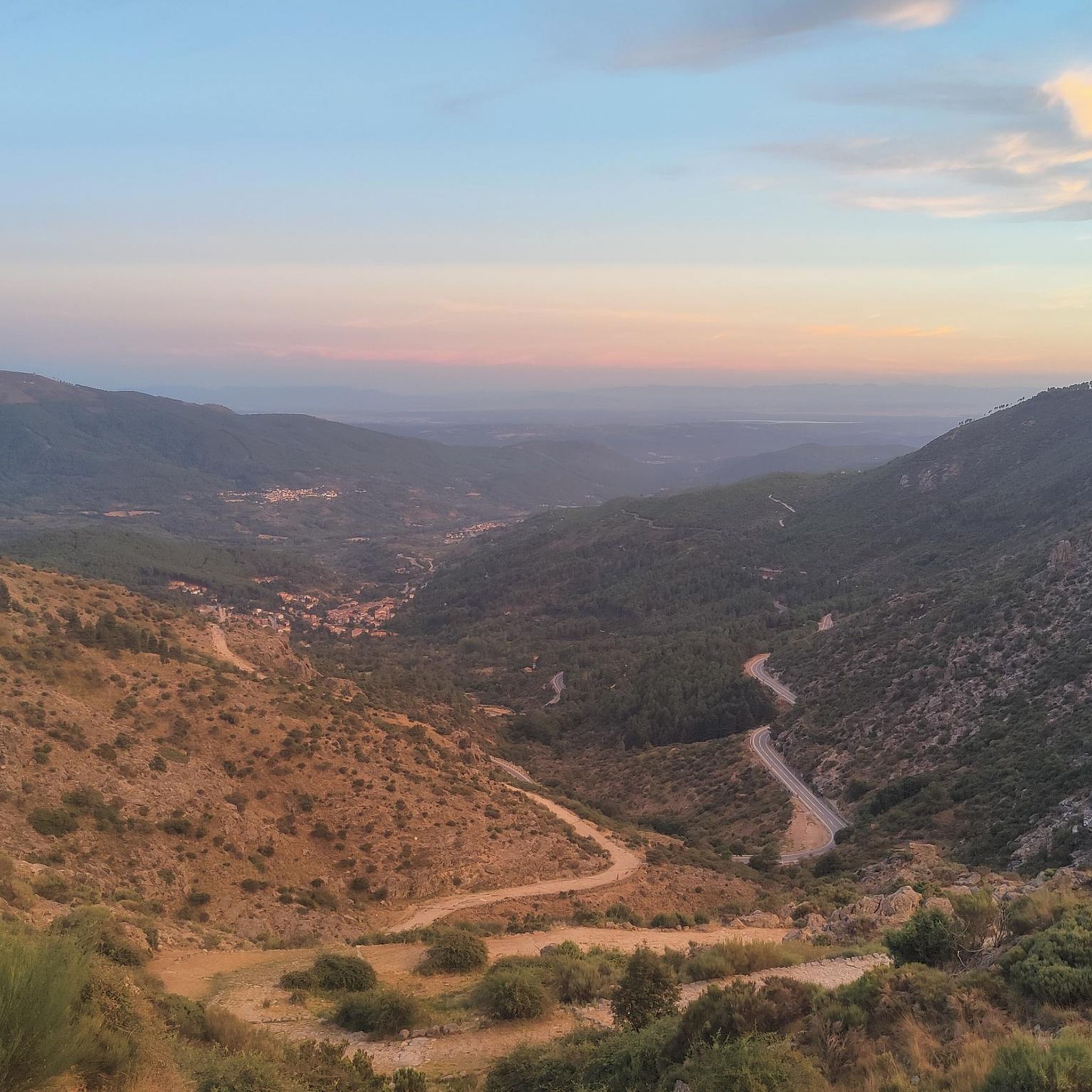
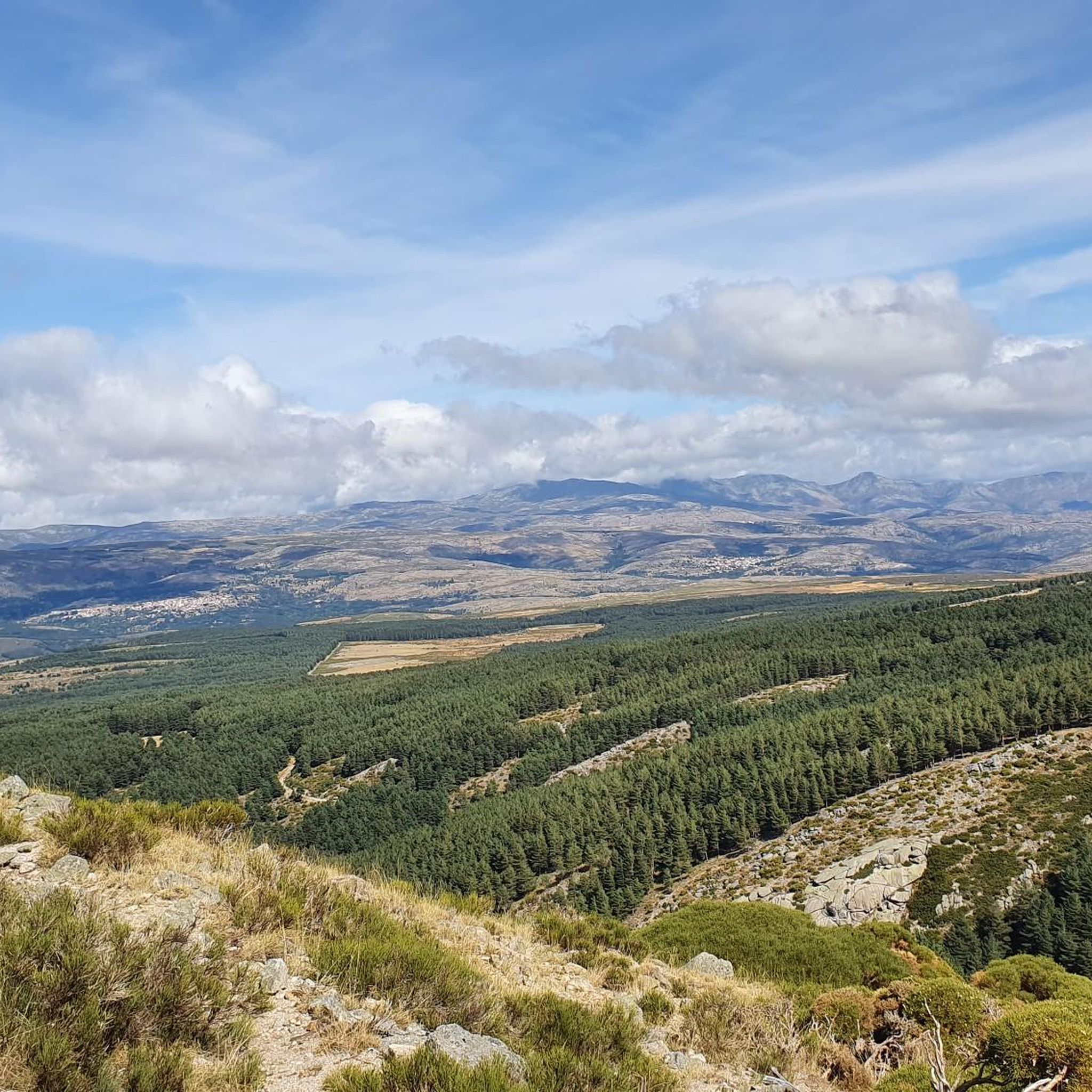
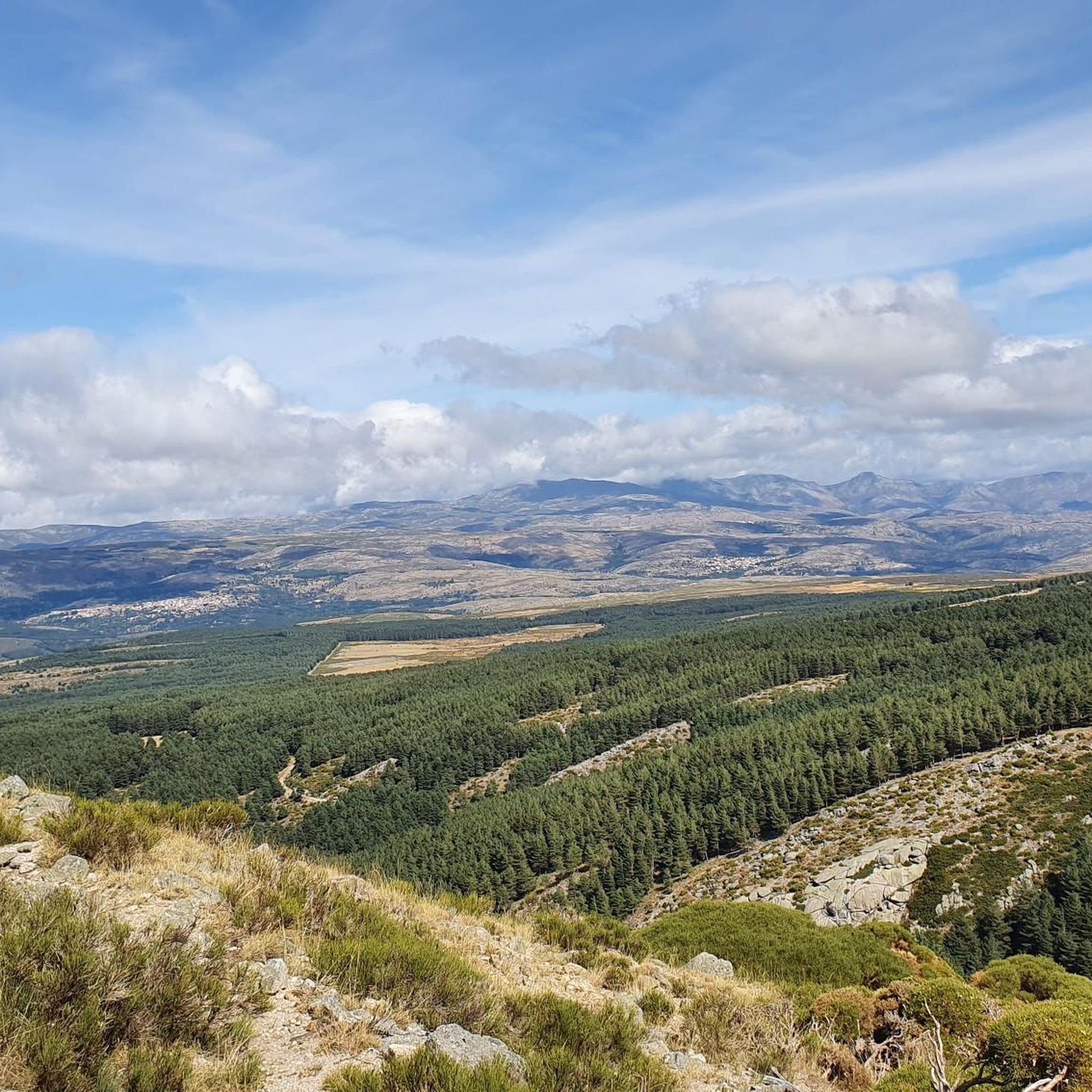
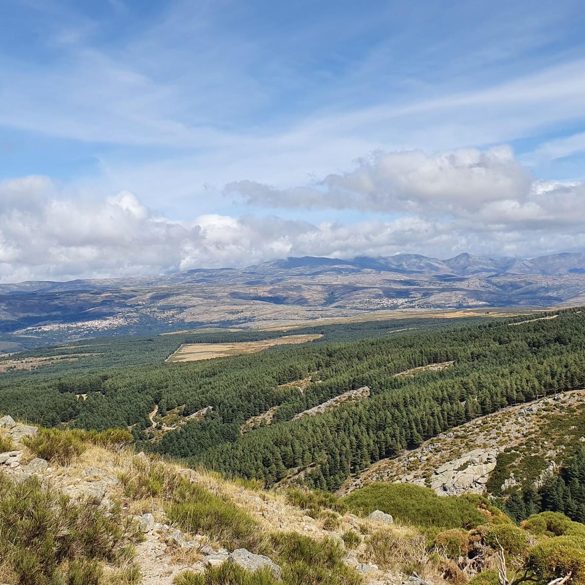
Jogging around Villarejo Del Valle offers routes through mountainous terrain characterized by significant elevation changes and panoramic viewpoints. The region is situated at the foot of El Tolozo peak, within the Barranco de las Cinco Villas, and is part of the Sierra de Gredos Regional Park. This privileged location provides a rich tapestry of natural features, including lush forests and rugged paths, ideal for runners. The trails are predominantly difficult, catering to experienced runners seeking challenging running experiences.
Best jogging…
Last updated: July 15, 2026
14
runners
18.1km
02:44
1,130m
1,130m
Hard run. Very good fitness required. Mostly paved surfaces. Suitable for all skill levels.
12
runners
13.0km
01:55
580m
580m
Hard run. Very good fitness required. Mostly paved surfaces. Suitable for all skill levels.

Sign up for free
11
runners
8.92km
01:12
520m
520m
Hard run. Very good fitness required. Mostly paved surfaces. Suitable for all skill levels.
18
runners
34.2km
04:38
1,140m
1,140m
Hard run. Very good fitness required. Mostly paved surfaces. Suitable for all skill levels.
6
runners
17.6km
02:08
490m
490m
Hard run. Very good fitness required. Mostly paved surfaces. Suitable for all skill levels.
Get access to more routes and recommendations from other explorers.
Sign up for free
Already have an account?
Our route recommendations are based on thousands of hikes, rides, and runs completed by other people on komoot.
Start today with a free account
Your next adventure awaits.
Login or Signup

Other adventures around Villarejo Del Valle

Tips from the Community

Delicious coffee on the terrace of the Puente Seco bar, with views of Torozo, Serranillos and Puerto de Pedro Bernardo
0
0

Stone houses with balconies. One of the jewels of Gredos.
0
0

Mombeltrán Castle is situated in a beautiful spot in the Sierra de Gredos mountains, just south of the Puerto del Pico Pass (altitude 1352 m).
0
0

The Puerto del Pico with its viewing point is one of the classics of the Sierra de Gredos, used frequently in the routes of the Vuelta a España. The viewing point offers beautiful views of the Valle del Barranco or Valle de las Cinco Villas. You can also see the layout of the old Roman road that also went up this valley to access the upper part of the Iberian plateau. The road that goes up to the Puerto del Pico on its southern slope is in perfect condition as it is the national road N-502. It is a fast road so you have to be very careful with cars, especially on holidays and vacations.
1
0

You should definitely stop at the Puerto de Pico pass at an altitude of 1,352 m. There are enough parking spaces. There is also a restaurant on site. The views are spectacular and with a little luck you can see Iberian ibex up here.
1
0

The towns of Santa Cruz del Valle and Lanzahíta are connected by a forest track that coincides with the GR 180 route. This trail is especially pleasant in summer, when the air smells of pine and you can walk accompanied by the sound of cicadas.
1
0
San Esteban del Valle is a picturesque Spanish municipality located in the province of Ávila. It is located in the Tiétar Valley region, at the foot of the Gredos mountain range, which makes it an attractive destination for nature lovers. Among the most notable monuments are: the church of San Esteban Protomártir from the 15th century, the hermitage of San Pedro Bautista and the hermitage of San Andrés, the jurisdictional roll or pillory.
2
0

Located on the southern slope of the Gredos mountain range and in the heart of the Tiétar valley, Cuevas del Valle is one of the most beautiful towns in this mountain range, although it is not as renowned as others. And in this town of medieval origin there are still excellent examples of the traditional architecture of the area and an outstanding historical-artistic heritage that is very well preserved.
0
0
Frequently Asked Questions
Are there easy running routes in Villarejo Del Valle for beginners?
The running routes around Villarejo Del Valle are predominantly difficult, characterized by significant elevation changes and rugged paths. There are currently no easy routes listed in the area, making it more suitable for experienced runners seeking a challenge.
What are some longer distance running trails in Villarejo Del Valle?
For a longer distance run, consider the El Sombrerito – Torozo loop from Cuevas del Valle. This difficult path covers 10.9 miles (17.5 km) and navigates through elevated terrain, offering varied scenery.
Are the running routes in Villarejo Del Valle typically circular?
Yes, many of the popular running routes in Villarejo Del Valle are circular. For instance, the El Sombrerito – Torozo loop from Puerto del Pico and the La Cabrilla – Era de los Pusiamos loop from El Arenal are both excellent examples of circular trails.
What natural sights or viewpoints can I expect on running trails in Villarejo Del Valle?
The region offers stunning mountain views and passes. You can encounter highlights such as the Puerto de Pedro Bernardo, Centenera Pass, and the View of the Sierra de Gredos. Some routes also lead to summits like Pico Torozo.
What is the best season for trail running in Villarejo Del Valle?
Given the mountainous terrain and significant elevation, spring and autumn are generally the best seasons for trail running in Villarejo Del Valle. The weather is milder, and the natural scenery is vibrant. Summer can be very hot, and winter may bring snow and ice to higher elevations, making some trails more challenging or inaccessible.
Are the running trails in Villarejo Del Valle suitable for running with dogs?
While many trails in natural areas are dog-friendly, the rugged and difficult nature of routes in Villarejo Del Valle means you should ensure your dog is fit and accustomed to challenging terrain. Always keep your dog on a leash, especially in areas with wildlife or livestock, and carry enough water for both of you.
How many running routes are available in Villarejo Del Valle?
There are over 15 running routes available around Villarejo Del Valle, primarily catering to experienced runners due to their difficult grading and significant elevation changes.
What do other runners enjoy most about jogging in Villarejo Del Valle?
The area is highly rated by the komoot community, with an average score of 4.7 stars. Runners often praise the challenging mountain passes, elevated viewpoints, and the rugged, varied terrain that defines the running experience here.
Are there any running routes that offer particularly good views?
Yes, routes like the Puerto del Pico Viewpoint loop from Cuevas del Valle are designed to showcase the region's panoramic vistas. Many trails traverse elevated areas, providing expansive views of the surrounding landscape, including the Sierra de Gredos.
Are there any moderate running trails in Villarejo Del Valle?
While most routes are difficult, there are a few moderate options available. These still involve significant elevation but may be less technically demanding than the most difficult trails. It's always recommended to check the route details on komoot before heading out.
What kind of terrain can I expect on the running trails?
Expect mountainous terrain with rugged paths and passes. The routes feature significant elevation changes, making them challenging. You'll encounter varied surfaces typical of mountain trails, so appropriate footwear is essential.
Is public transport available to access the running trails in Villarejo Del Valle?
Access to specific trailheads by public transport can be limited in mountainous regions like Villarejo Del Valle. It's advisable to check local bus schedules for nearby villages or consider driving to the starting points, as many routes begin from small towns or specific passes.
Are there any specific parking areas for trail runners?
While dedicated runner parking isn't always available, trailheads often start from villages or popular mountain passes where roadside parking or small public car parks can be found. For example, routes like the El Sombrerito – Torozo loop from Puerto del Pico typically have parking options near their starting points.
Most popular attractions around Villarejo Del Valle

Get inspired with the komoot mobile app


Explore more
Browse the best Running Trails & Routes in other regions.
