The best walks and hikes around Santa Engracia Del Jubera
4.6
(102)
412
hikers
50
hikes
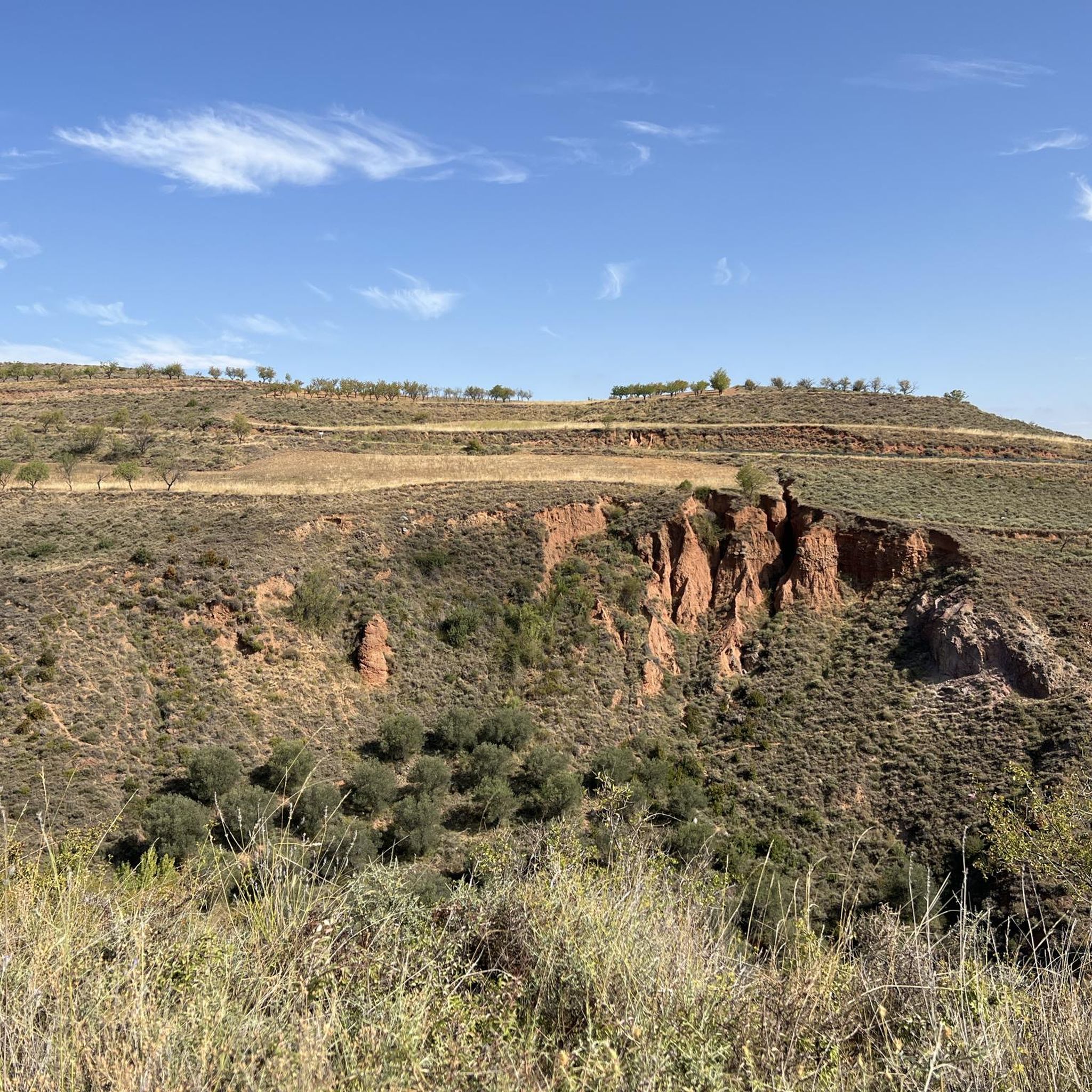
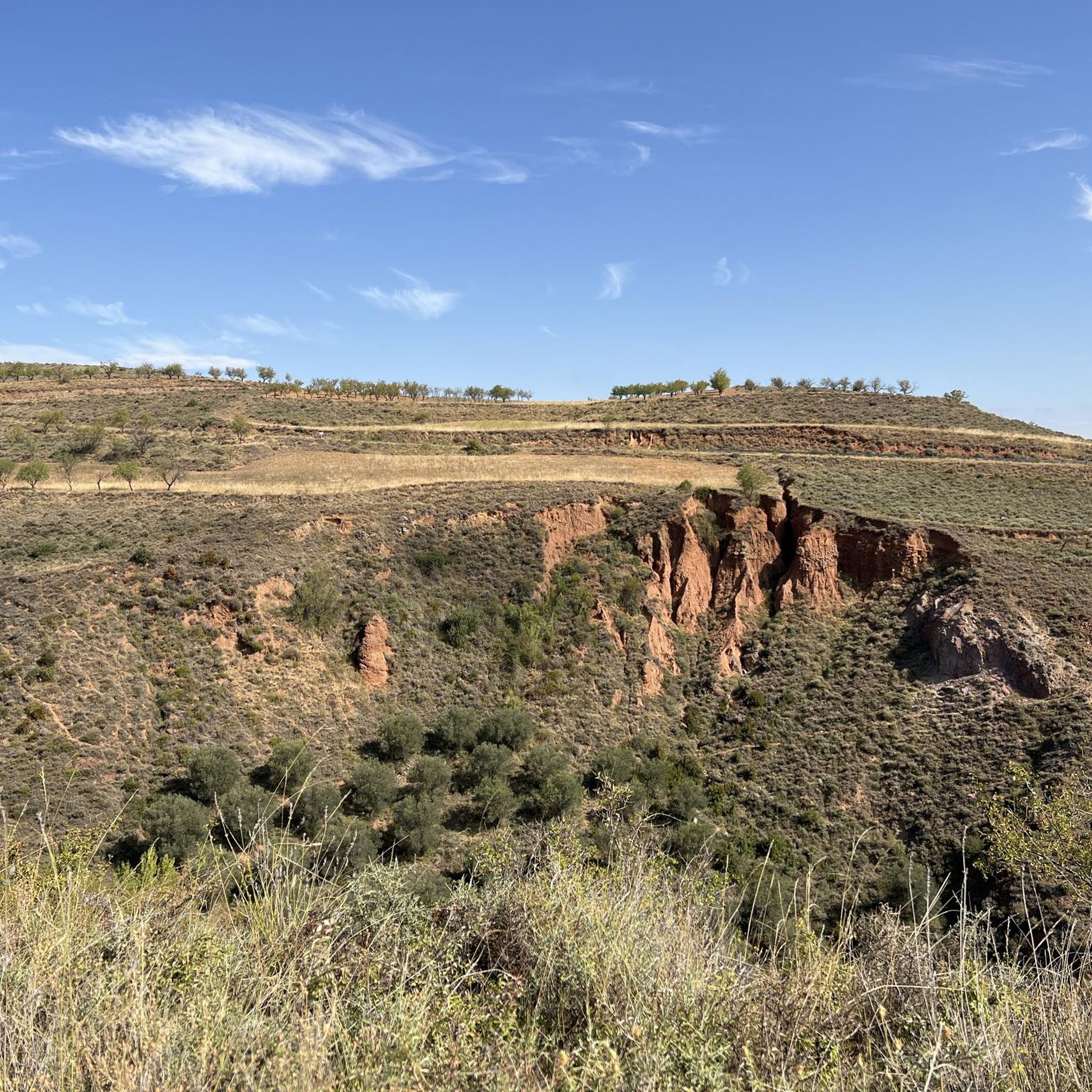
Hiking around Santa Engracia Del Jubera offers diverse terrain within the foothills of the Camero Viejo Mountains in La Rioja. The region is characterized by impressive ravines, steep rock formations, and the deep valley carved by the Jubera River. Much of the area lies within the Biosphere Reserve of the Valleys of Leza, Jubera, Cidacos, and Alhama, providing a preserved natural environment with varied flora and fauna. This landscape includes mid-sized mountains and historical sites like ancient lead mines and…
Last updated: July 7, 2026
4.1
(8)
30
hikers
Moderate hike. Good fitness required. Easily-accessible paths. Suitable for all skill levels.
4
hikers
14.5km
04:22
480m
480m
Moderate hike. Good fitness required. Mostly accessible paths. Sure-footedness required.

Sign up for free
3
hikers
Moderate hike. Good fitness required. Easily-accessible paths. Suitable for all skill levels.
16.2km
04:57
560m
560m
Moderate hike. Good fitness required. Mostly accessible paths. Sure-footedness required.
5.21km
01:27
100m
100m
Easy hike. Great for any fitness level. Easily-accessible paths. Suitable for all skill levels.
Get access to more routes and recommendations from other explorers.
Sign up for free
Already have an account?
Our route recommendations are based on thousands of hikes, rides, and runs completed by other people on komoot.
Start today with a free account
Your next adventure awaits.
Login or Signup
Tips from the Community

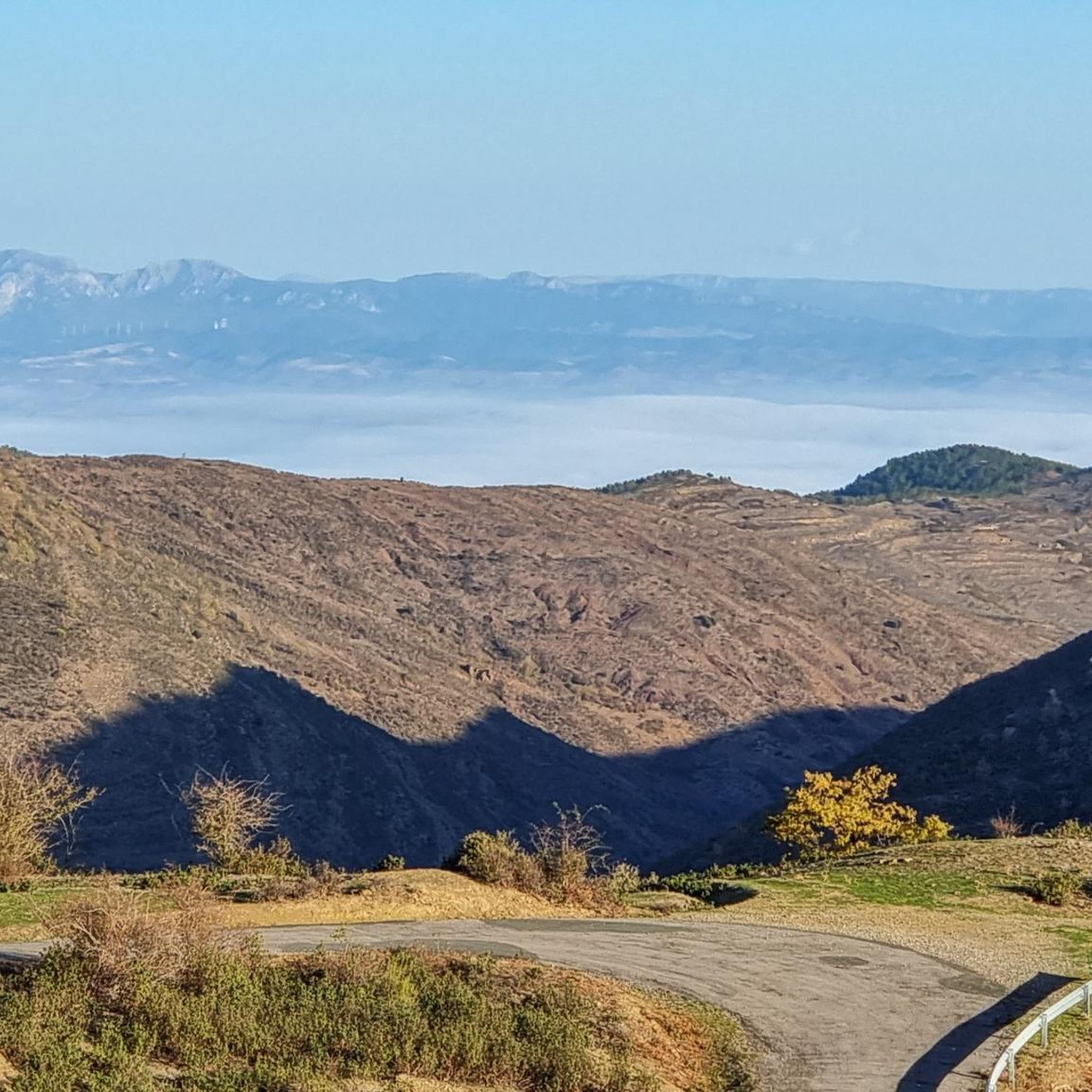
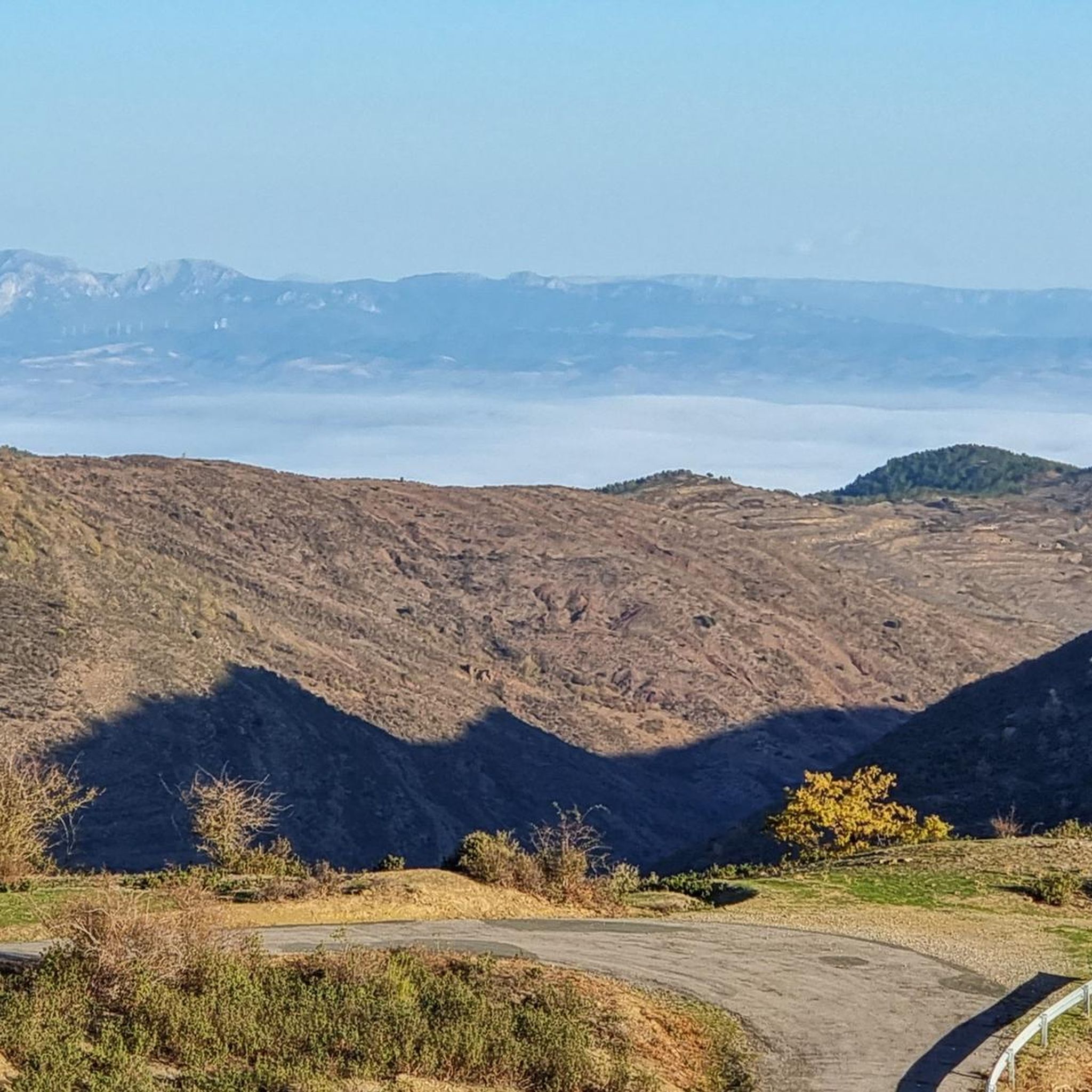
A good viewpoint of the surrounding mountains.
2
0

Beautiful views of the Leza-Jubera valley
0
0
Bridge over the Jubera River at the exit of Robres del Castillo. Built in the 16th century, it was recently restored and appears to be in good condition.
0
0

Walking over the Leza River valley gives you a view of Murillo De Río Leza. Can you see the bell tower of St. Stephen's Church?
0
0
The most notable monument of the town of Murillo de Río Leza, the 16th century church, the Iglesia de San Esteban, is a must-see site.
1
0
The river landscape and views dominate the Murillo de Río Leza. The small town is located at the confluence of the Leza and Jubera rivers, both tributaries of the mighty Ebro.
0
0
Main access bridge over the Jubera River on the LR-259 entrance road to Murillo de Río Leza. There are parking spaces nearby and a good point to start your adventure.
0
0

A small town lost in the mountains above the Jubera river valley. The views over the valley are incredible.
1
0
Frequently Asked Questions
How many hiking trails are available around Santa Engracia Del Jubera?
There are over 50 hiking trails around Santa Engracia Del Jubera, offering a wide range of options for different skill levels and interests. The komoot community has highly rated these routes, with an average score of 4.5 stars.
Are there easy hiking trails suitable for beginners or families?
Yes, Santa Engracia Del Jubera offers several easy hiking trails. For instance, the Murillo de Río Leza route is an easy 5.2 km path with minimal elevation gain, perfect for a relaxed walk. The region has 19 easy routes in total, many of which are suitable for families.
Are there challenging hikes for experienced trekkers?
While most routes are moderate, the region does offer some more challenging options. The landscape is characterized by impressive ravines and steep rock formations, particularly in areas like the Barranco de San Martín, which can provide a more strenuous experience. There is at least one difficult route available for those seeking a greater challenge.
Can I bring my dog on the hiking trails?
Santa Engracia Del Jubera's wild and rural environment, combined with its extensive network of trails, generally makes it a dog-friendly area. However, it's always advisable to check specific trail regulations or local signage, especially within the Biosphere Reserve, and keep your dog on a leash to protect local wildlife.
Are there circular hiking routes available?
Yes, many of the trails around Santa Engracia Del Jubera are circular, allowing you to start and end at the same point. A popular example is The Island in Soto de Cameros, Fountain of the 3 spouts, Vulture Viewpoint – circular route, which is a moderate 8.6 km loop offering diverse scenery. Another option is the Cascada El Gallizo y San Vicente de Robres — circular desde Robres del Castillo.
Are there trails that lead to waterfalls or other natural water features?
Yes, you can find trails that lead to beautiful natural water features. The Cascada El Gallizo y San Vicente de Robres — circular desde Robres del Castillo route, for example, will take you to the Cascada El Gallizo. The Jubera River itself carves a deep valley, providing picturesque scenery and opportunities to explore its course.
Can I explore historical sites while hiking in the area?
Absolutely. The region is rich in history. You can hike to the ruins of Jubera Castle, a 10th-century landmark perched above the Jubera River. Additionally, the Mines Trail explores the ancient lead mines of Jubera, offering a unique glimpse into the region's industrial past.
What kind of natural landscapes and viewpoints can I expect to see?
Santa Engracia Del Jubera is known for its diverse and rugged natural landscape. You'll encounter impressive ravines, steep rock formations, and the deep valley carved by the Jubera River. Much of the area is within the Biosphere Reserve of the Valleys of Leza, Jubera, Cidacos, and Alhama, offering preserved natural environments. Look out for viewpoints like the Vulture Viewpoint mentioned in the The Island in Soto de Cameros route, or the Leza Canyon Viewpoint.
What is the best time of year for hiking in Santa Engracia Del Jubera?
The diverse terrain and protected natural environments make Santa Engracia Del Jubera suitable for hiking across multiple seasons. Spring and autumn offer pleasant temperatures and vibrant scenery. Winter hiking can also be rewarding, especially for birdwatching, as the area is part of a Biosphere Reserve with abundant flora and fauna.
Is parking available at trailheads, and how accessible is the area by public transport?
While specific parking details for every trailhead vary, many routes in rural areas like Santa Engracia Del Jubera typically have designated or informal parking spots near their starting points. Accessibility by public transport can be limited in this rugged region, so planning your journey in advance and considering car travel for reaching trailheads is often recommended.
What other attractions can I visit near the hiking trails?
Beyond the trails, the region offers several points of interest. You can explore historical sites like Clavijo Castle or the Aguas Mansas Castle. For natural wonders, consider visiting the Pladortes Ichnite Site, known for its dinosaur footprints, or the Gollizo Pool (Jubera River) for a refreshing stop.
What do other hikers enjoy most about the trails in Santa Engracia Del Jubera?
The area is highly rated by the komoot community, with an average score of 4.5 stars from over 100 reviews. Hikers often praise the region's diverse terrain, from deep river valleys to steep rock formations, and the opportunity to explore historical mining landscapes. The preserved natural environment within the Biosphere Reserve is also a significant draw.
Most popular routes around Santa Engracia Del Jubera
Most popular attractions around Santa Engracia Del Jubera

Get inspired with the komoot mobile app


Explore more
Browse the best Hikes in other regions.
