The best road cycling routes around Almorox
4.8
(6)
1,520
riders
83
rides
Road cycling routes around Almorox traverse a diverse landscape, characterized by the extensive Almorox Pine Forest to the north and northwest. The region features granitic rock formations and streams, with the Alberche River flowing through the southern municipality. Almorox is situated in the foothills of the Sierra de Gredos, providing varied topography for road cyclists. This geographical position offers routes with both gentle inclines and challenging ascents.
Best road cycling routes around Almorox
- The most popular road cycling route is…
Last updated: July 11, 2026
30
riders
Moderate road ride. Good fitness required. Some segments of this route may be unpaved and difficult to ride.
35
riders
66.5km
03:20
1,060m
1,060m
Hard road ride. Very good fitness required. Mostly well-paved surfaces and easy to ride.

Sign up for free
16
riders
Hard road ride. Very good fitness required. Mostly well-paved surfaces and easy to ride.
8
riders
49.7km
02:39
840m
840m
Moderate road ride. Good fitness required. Some segments of this route may be unpaved and difficult to ride.
8
riders
68.3km
03:41
1,230m
1,230m
Hard road ride. Very good fitness required. Some segments of this route may be unpaved and difficult to ride.
Get access to more routes and recommendations from other explorers.
Sign up for free
Already have an account?
Our route recommendations are based on thousands of hikes, rides, and runs completed by other people on komoot.
Start today with a free account
Your next adventure awaits.
Login or Signup
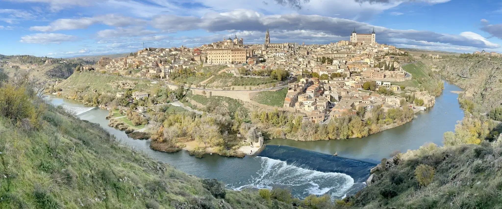
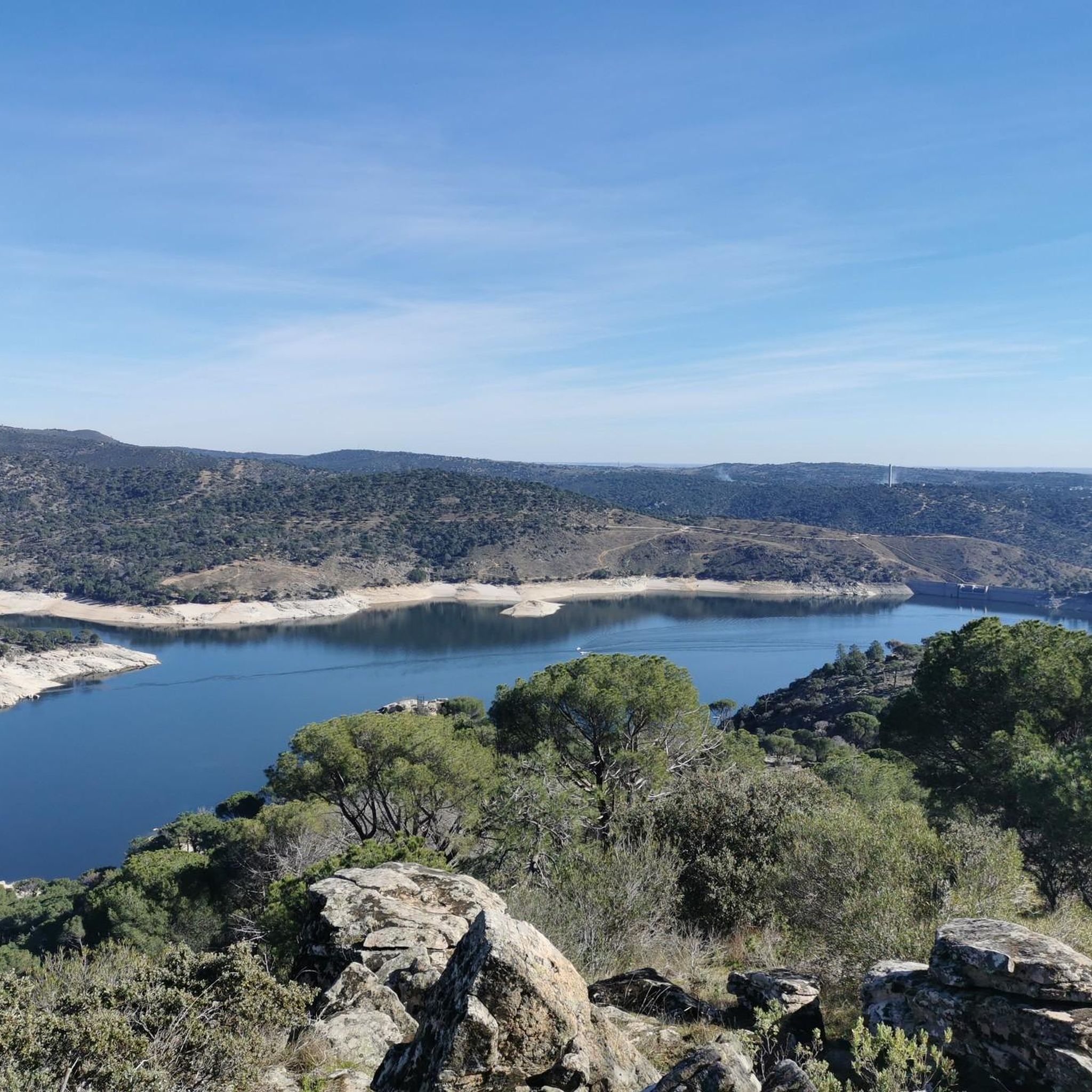
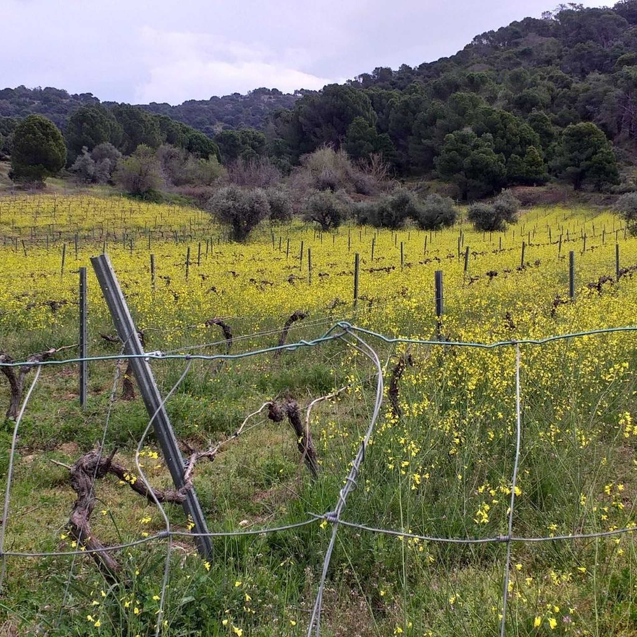
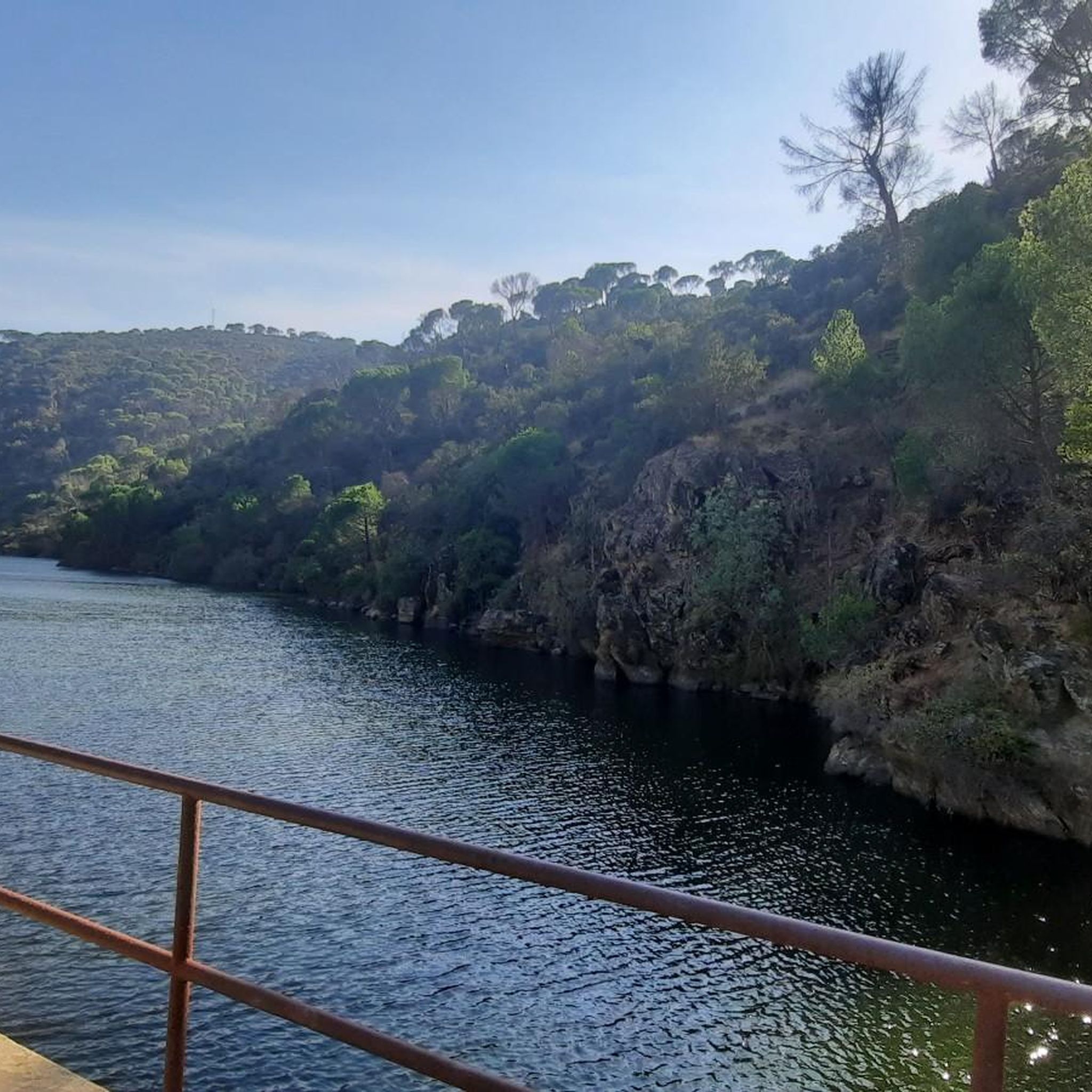


Other adventures around Almorox

Tips from the Community

The place name Pelahustán seems to derive from the activity related to looms and the sale of linen that the population had in the past. In documents from the 18th century, it appears as Pelafustan. According to the dictionary of the Royal Spanish Academy, the concept of pelafustán is equated with that of pelagatos, which in turn means “insignificant or mediocre person, without social or economic position.” The town also had several water mills worked by Salamancan teleworkers. Pelahustán is located at an altitude of 673 meters above sea level and borders the terms of Higuera de las Dueñas in the province of Ávila, Nombela, Nuño Gómez, Garciotum and El Real de San Vicente in the province of Toledo, and Ceniientos in the Community of Madrid 😊
2
0

Cadalso de los Vidrios acquired fame in the 16th and 17th centuries thanks to the fact that its glass factory supplied the royal pharmacy of the monastery of San Lorenzo de El Escorial. In the municipality there are important historical buildings, such as the Renaissance palace of Villena. This town is located at the top of the hillside, which allows you to contemplate the Alberche valley majestically.
1
0
The port of Piélago is located at an altitude of 1,222 meters and is a classic of Toledo cycling. It is located in Real de San Vicente and is a pass between the north and south slopes of the Sierra de San Vicente. Towards the south face there are good views of the Toledo steppe.
0
0
Almendral de la Cañada is a small town on the Toledo slope of the Tiétar valley surrounded by olive and almond groves. It has several bars near the road and a public fountain, ideal for a good stop on the route.
0
0

Small town located in the middle of the Valle del Tiétar and which allows us to see the whole of the Sierra de Gredos on its southern slope.
0
0
Casillas is a municipality that is located in the province of Ávila on the southern slope of the foothills of the Sierra de Gredos, at the beginning of the Tiétar valley.
1
0

Pelahustán is one of those places whose name has several possible origins, and each of the theories tells a part of the history of the town. The most accepted relates the name to the fustan fabric that was produced here, either with linen or with a mixture of silk and cotton. This cloth was coarse and rough and was used by hunters as protection, and the expression "pelar el fustán" existed as a synonym for hunting, but there was also a theory that the town was called Pelafustán with a derogatory character, like where the pelafustanes live ( rascals). On the other hand, a simpler theory is that there was a settler of these lands called Pela Hustán. Nothing to see.
2
0
This fortress of Roman origin was also used by the Arabs and finally taken over by Alfonso VI of Castile. Located at a strategic point next to the Alberche river between Ávila and Toledo, it contains an imposing 22-meter-high keep and a Mudejar palace inside.
0
0
Frequently Asked Questions
How many road cycling routes are available around Almorox?
There are over 80 road cycling routes around Almorox, offering a wide range of options for different skill levels and preferences.
Are there easy road cycling routes suitable for beginners or families in Almorox?
Yes, Almorox offers several easy road cycling routes. For instance, the Detour to Aldea en Cabo – Turnoff to Cenicientos loop from Paredes de Escalona is a shorter, easier option, perfect for a more relaxed ride. The region's greenways, like the repurposed old railway line near the Guadarrama River, also provide smoother, less technical rides.
What kind of terrain can I expect on road cycling routes in Almorox?
Road cycling routes in Almorox feature diverse terrain. You'll find rides through the extensive Almorox Pine Forest, along the tranquil Alberche River, and into the foothills of the Sierra de Gredos. This means a mix of lush green areas, farmland, fragrant forests, and both gentle inclines and challenging ascents with panoramic views.
Are there challenging routes for experienced road cyclists?
Absolutely. For experienced cyclists seeking a challenge, Almorox's proximity to the Sierra de Gredos foothills provides routes with significant elevation changes and demanding climbs. Routes like the Detour to Aldea en Cabo – Cenicientos Historic Center loop from Escalona or the extensive Escalona Castle Palace – Main Square of Pelahustán loop from Ctra. M541 - Cruce de Almorox offer substantial ascents and descents.
What natural features can I see while road cycling in Almorox?
You can explore several notable natural features. The routes often traverse the vast Almorox Pine Forest, characterized by stone pines and granitic rock formations. You'll also encounter the Alberche River, with its beautiful poplar forests and picnic areas, and experience the varied topography of the Sierra de Gredos foothills.
Are there any circular road cycling routes around Almorox?
Yes, many routes around Almorox are designed as loops. For example, the Main Square of Pelahustán – Castle of Escalona loop from Paredes de Escalona is a popular moderate circular route connecting local towns. Another option is the Sendero del Lazarillo – Cenicientos Historic Center loop from Almorox.
What are some interesting landmarks or attractions near the road cycling routes?
Along your rides, you might encounter several points of interest. The Alberche Greenway offers a scenic path, and you can find reservoirs like Picadas Reservoir and San Juan Reservoir Marina. Further afield, you could visit the ancient Toros de Guisando.
What do other road cyclists say about the routes in Almorox?
The road cycling routes in Almorox are highly regarded by the komoot community, holding an average rating of 5.0 stars from over 5 reviews. Cyclists often praise the varied scenery, from pine forests to riverbanks, and the diverse range of routes catering to different abilities.
Are there routes that offer scenic viewpoints?
Yes, especially routes that venture into the Sierra de Gredos foothills. These higher elevation sections often provide panoramic views of the surrounding landscapes, including the extensive pine forests and river valleys. Look for routes with significant elevation gain for the best vistas.
Can I find routes that follow old railway lines or greenways?
Yes, the region features repurposed infrastructure for cycling. An old railway line that once connected Madrid and Almorox has been transformed into a greenway, offering a mostly paved surface that winds through cereal fields and leads to the regional park of the middle course of the Guadarrama River. The Alberche Greenway is another example.
What is the best time of year for road cycling in Almorox?
Almorox is suitable for road cycling for much of the year. Spring and autumn generally offer the most pleasant temperatures for longer rides. Summers can be hot, so early morning or late afternoon rides are recommended, especially when exploring routes with less shade.
Most popular attractions around Almorox

Get inspired with the komoot mobile app


Explore more
Browse the best Road cycling routes in other regions.
