Oberes Lenninger Tal mit Seitentälern
Oberes Lenninger Tal mit Seitentälern
The best mountain hikes around Oberes Lenninger Tal mit Seitentälern
3.7
(3)
42
hikers
16
hikes
Mountaineering routes around Oberes Lenninger Tal mit Seitentälern traverse a landscape characterized by deep valleys, forested hills, and prominent rock formations typical of the Swabian Jura. The region offers a diverse terrain for mountaineers, with routes often leading to scenic viewpoints and historical sites. Elevation gains are moderate, making the area accessible for various skill levels while still providing engaging ascents.
Best mountaineering routes around Oberes Lenninger Tal mit Seitentälern
- The most popular mountaineering route is Auchtert – Mörikefels loop…
Last updated: July 2, 2026
2
hikers
Moderate mountaineering route. Good fitness required. Mostly accessible paths. Sure-footedness required.
5
hikers
12.5km
04:06
570m
570m
Moderate mountaineering route. Good fitness required. Easily-accessible paths. Suitable for all skill levels.

Sign up for free
1
hikers
9.53km
03:07
400m
400m
Moderate mountaineering route. Good fitness required. Easily-accessible paths. Suitable for all skill levels.
5.0
(1)
3
hikers
9.83km
02:45
200m
200m
Moderate mountaineering route. Good fitness required. Easily-accessible paths. Suitable for all skill levels.
5.0
(1)
6
hikers
2.82km
00:55
140m
140m
Easy mountaineering route. Great for any fitness level. Easily-accessible paths. Suitable for all skill levels.
Get access to more routes and recommendations from other explorers.
Sign up for free
Already have an account?
Our route recommendations are based on thousands of hikes, rides, and runs completed by other people on komoot.
Start today with a free account
Your next adventure awaits.
Login or Signup
Popular around Oberes Lenninger Tal mit Seitentälern
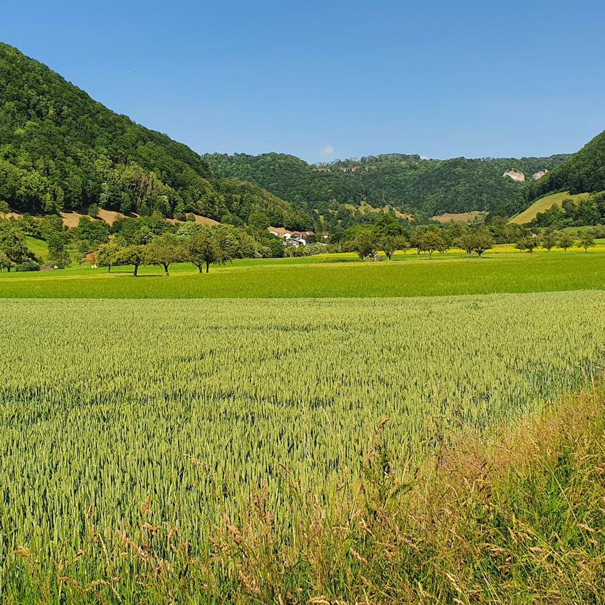
Hiking around Oberes Lenninger Tal mit Seitentälern
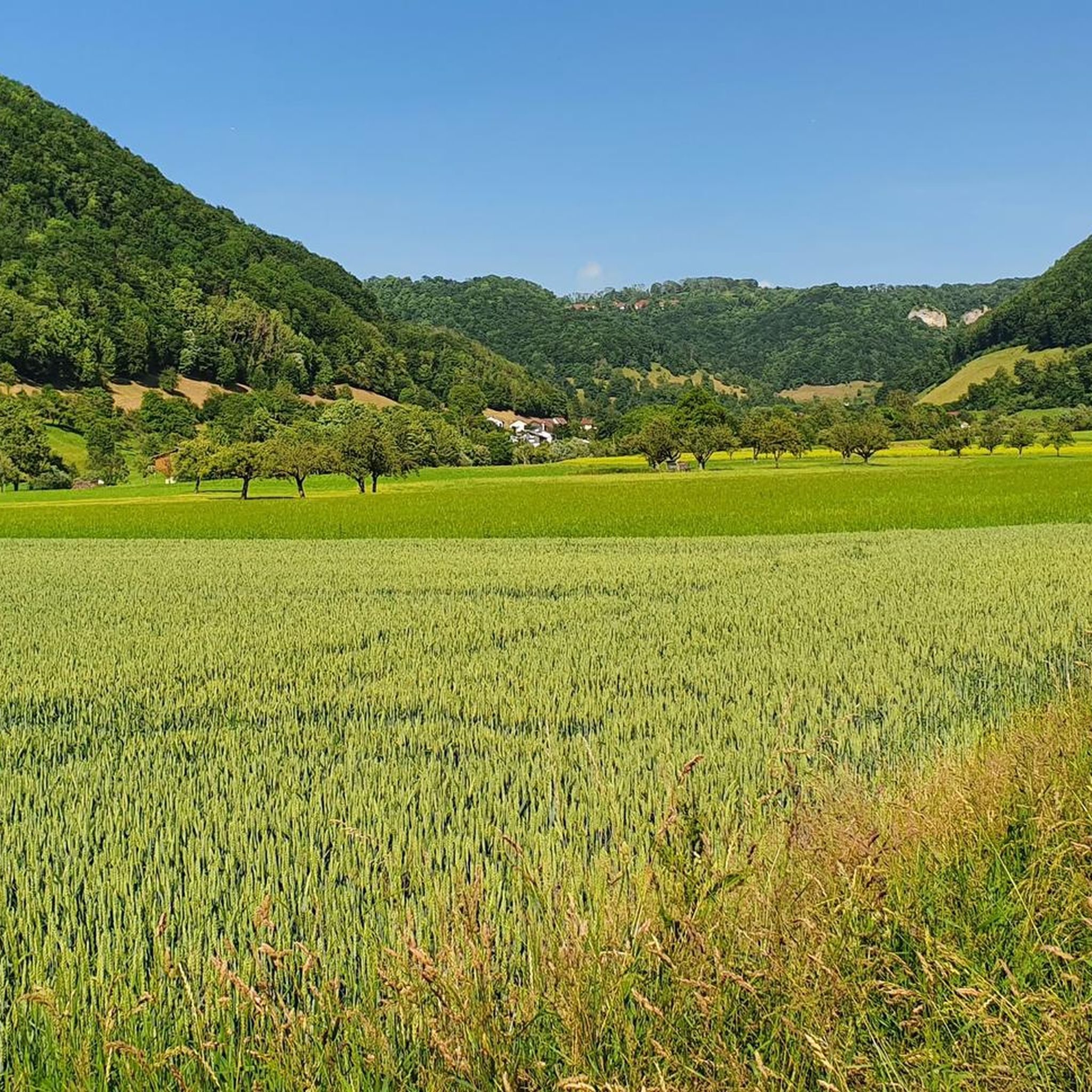
Road Cycling Routes around Oberes Lenninger Tal mit Seitentälern
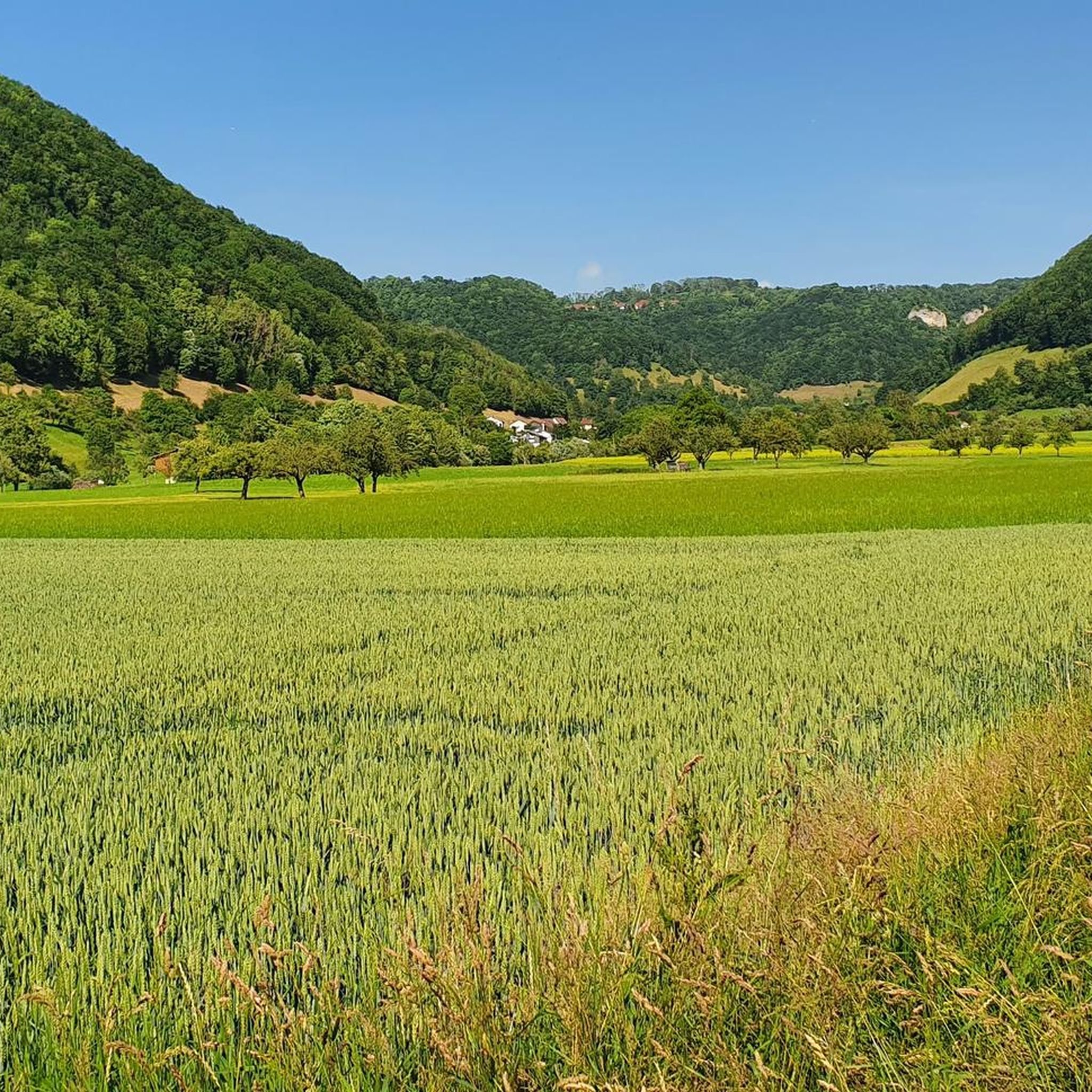
Cycling around Oberes Lenninger Tal mit Seitentälern
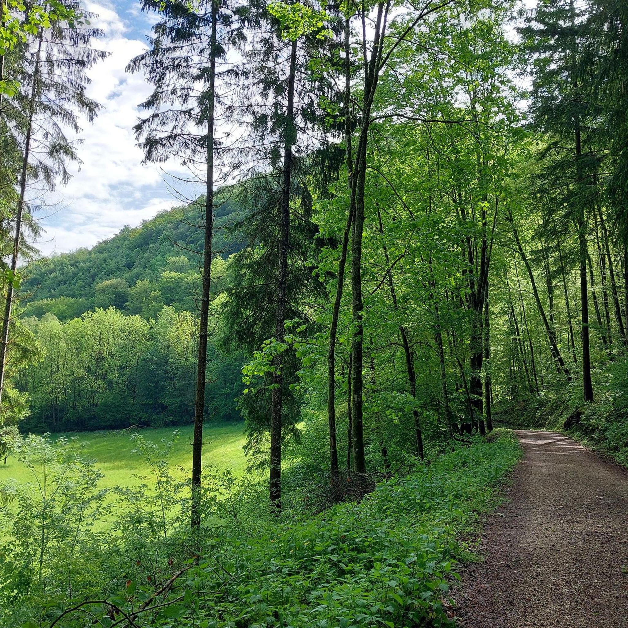
MTB Trails around Oberes Lenninger Tal mit Seitentälern

Gravel biking around Oberes Lenninger Tal mit Seitentälern
Running Trails around Oberes Lenninger Tal mit Seitentälern
Tips from the Community

Here is a quiet bench where you can take a comfortable break
1
0

Beautiful plateau with great views and opportunities for further tours.
0
0

Viewpoint yellow rock with beautiful sunny view and distant view due to the Albtrauf and into the valley
1
0

Great view from the very well restored Rauber ruins
1
0
Viewpoint on Bissingen and a barbecue area can be found here
1
0
Short rest with a great view. Beautifully located. Great spot for further tours...
0
0

Many bridges cross the valley
0
0

The beautiful Zipfelbach Gorge is worth a visit at any time of year. The path leads over several bridges along the Zipfelbach and there is always something to discover.
4
1
Frequently Asked Questions
How many mountaineering routes are available in Oberes Lenninger Tal mit Seitentälern?
There are 17 mountaineering routes documented in Oberes Lenninger Tal mit Seitentälern on komoot. These routes cater to various skill levels, with 2 easy, 12 moderate, and 3 difficult options.
Are there any easy mountaineering routes suitable for beginners or families?
Yes, there are a couple of easy routes perfect for beginners or families. One excellent option is the Teckberg loop from Owen, which is 2.8 km long and takes approximately 55 minutes to complete. It offers a gentle introduction to the region's beautiful landscapes.
What are some challenging mountaineering trails in the area?
For those seeking a challenge, Oberes Lenninger Tal mit Seitentälern offers 3 difficult mountaineering routes. These trails typically feature greater elevation gains and more rugged terrain, providing a rewarding experience for experienced mountaineers.
What kind of natural attractions can I expect to see along the routes?
The region is rich in natural beauty. You might encounter unique geological formations like the Große Schrecke Rock Formation or the fascinating Weiße Lauter Sinter Terraces. Many routes also follow scenic waterways such as Along the Donntalbach.
Are there any circular mountaineering routes in Oberes Lenninger Tal mit Seitentälern?
Many of the mountaineering routes in the region are circular, allowing you to start and end at the same point. An example is the Auchtert – Mörikefels loop from Randecker Maar mit Zipfelbachschlucht, a moderate 5.5 km trail that offers varied terrain and leads to the Mörikefels viewpoint.
What are some notable viewpoints along the mountaineering trails?
The routes often lead to spectacular viewpoints. The Teck Castle – Gelber Fels Viewpoint loop from Bissingen an der Teck offers panoramic vistas, including views from the historic Teck Castle. Another popular spot is the Breitenstein Viewpoint, accessible via the Breitenstein Viewpoint – Rauber Ruins loop from Bissingen an der Teck.
What is the best time of year for mountaineering in this region?
The Swabian Jura, including Oberes Lenninger Tal mit Seitentälern, is generally best for mountaineering from spring through autumn (April to October). During these months, the weather is typically milder, and the trails are clear of snow and ice, offering the most pleasant conditions for exploring the valleys and rock formations.
Are there any historical sites or castles to explore near the routes?
Yes, the region has historical significance. The Teck Castle – Gelber Fels Viewpoint loop from Bissingen an der Teck passes by the impressive Teck Castle. You can also find ruins like the Hofen Castle Ruins, which add a historical dimension to your mountaineering experience.
What do other mountaineers enjoy most about the routes here?
The area is highly rated by the komoot community, with an average score of 5.0 stars. Reviewers often praise the diverse terrain, the scenic valleys, dense woodlands, and the prominent limestone rock formations that characterize the Swabian Jura. The well-maintained paths and rewarding viewpoints are also frequently highlighted.
Are there any caves I can visit in Oberes Lenninger Tal mit Seitentälern?
Yes, the region is known for its caves. You can explore fascinating geological formations such as the Goldloch Cave, Gutenberger Cave, or the Gustav Jakob Cave. These offer a unique underground adventure to complement your surface explorations.
What is the typical elevation gain on mountaineering routes in this area?
Elevation gains in Oberes Lenninger Tal mit Seitentälern are generally moderate. For example, the Source of the Fils – View of Neidlingen Valley loop from Wiesensteig involves an ascent of approximately 199 meters. While providing engaging climbs, the routes are designed to be accessible for various skill levels without overly strenuous ascents.
Most popular routes around Oberes Lenninger Tal mit Seitentälern
Most popular attractions around Oberes Lenninger Tal mit Seitentälern

Get inspired with the komoot mobile app


Explore more
Browse the best Mountain Hikes & Routes in other regions.
