The best running trails around San Román De Cameros
141
runners
23
runs
Jogging around San Román De Cameros offers diverse natural landscapes within the Leza River valley, part of the Biosphere Reserve of the Jubera, Leza, Cidacos, and Alhama valleys. The terrain features varied environments, from technical and rocky areas to lush oak and beech forests, situated on a hillside between river depressions and ravines. This region provides a range of running routes, including paths along the Leza River Canyon and trails leading to panoramic viewpoints on local hills.
Best jogging routes…
Last updated: July 12, 2026
12
runners
6.10km
00:59
360m
360m
Hard run. Very good fitness required. Mostly paved surfaces. Suitable for all skill levels.
10
runners
16.6km
02:28
800m
800m
Hard run. Very good fitness required. Mostly paved surfaces. Suitable for all skill levels.

Sign up for free
9
runners
20.8km
02:43
790m
790m
Hard run. Very good fitness required. Sure-footedness, sturdy shoes and alpine experience required.
5
runners
9.07km
01:15
380m
380m
Hard run. Very good fitness required. Mostly paved surfaces. Suitable for all skill levels.
5
runners
14.7km
02:00
590m
600m
Hard run. Very good fitness required. Mostly paved surfaces. Suitable for all skill levels.
Get access to more routes and recommendations from other explorers.
Sign up for free
Already have an account?
Our route recommendations are based on thousands of hikes, rides, and runs completed by other people on komoot.
Start today with a free account
Your next adventure awaits.
Login or Signup
Popular around San Román De Cameros
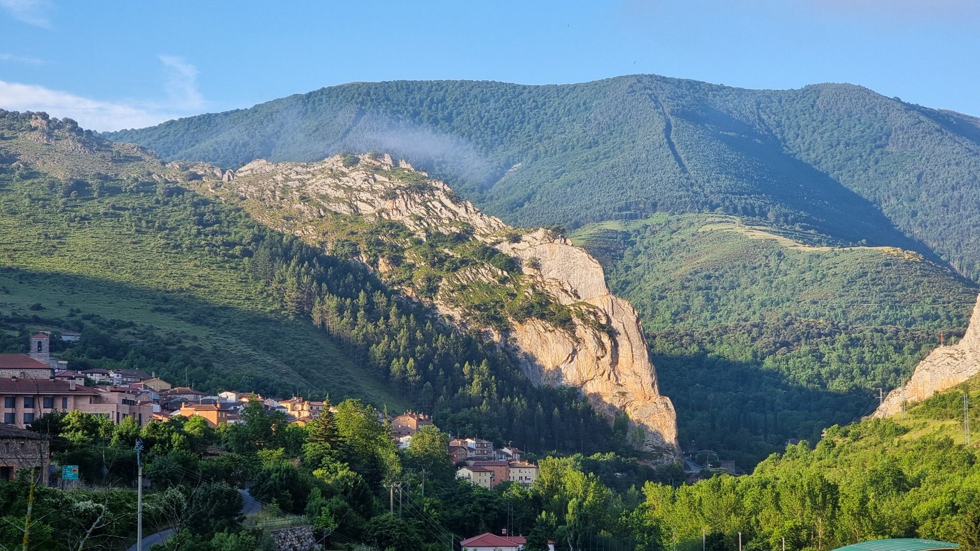
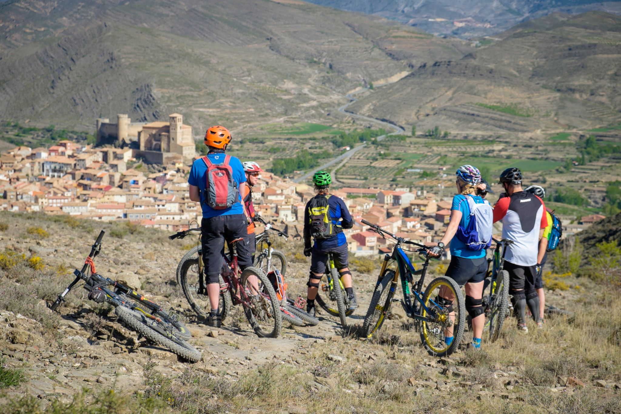
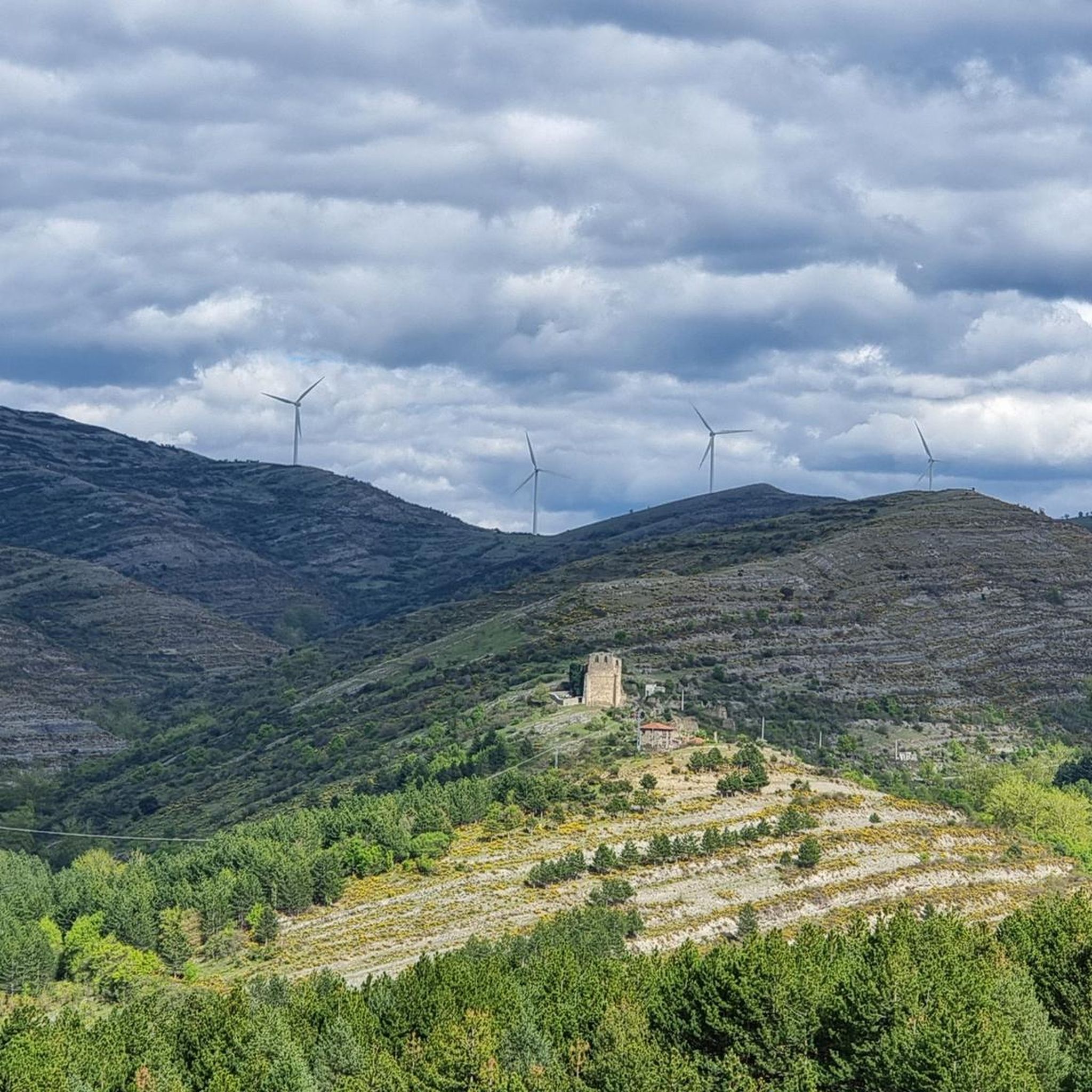
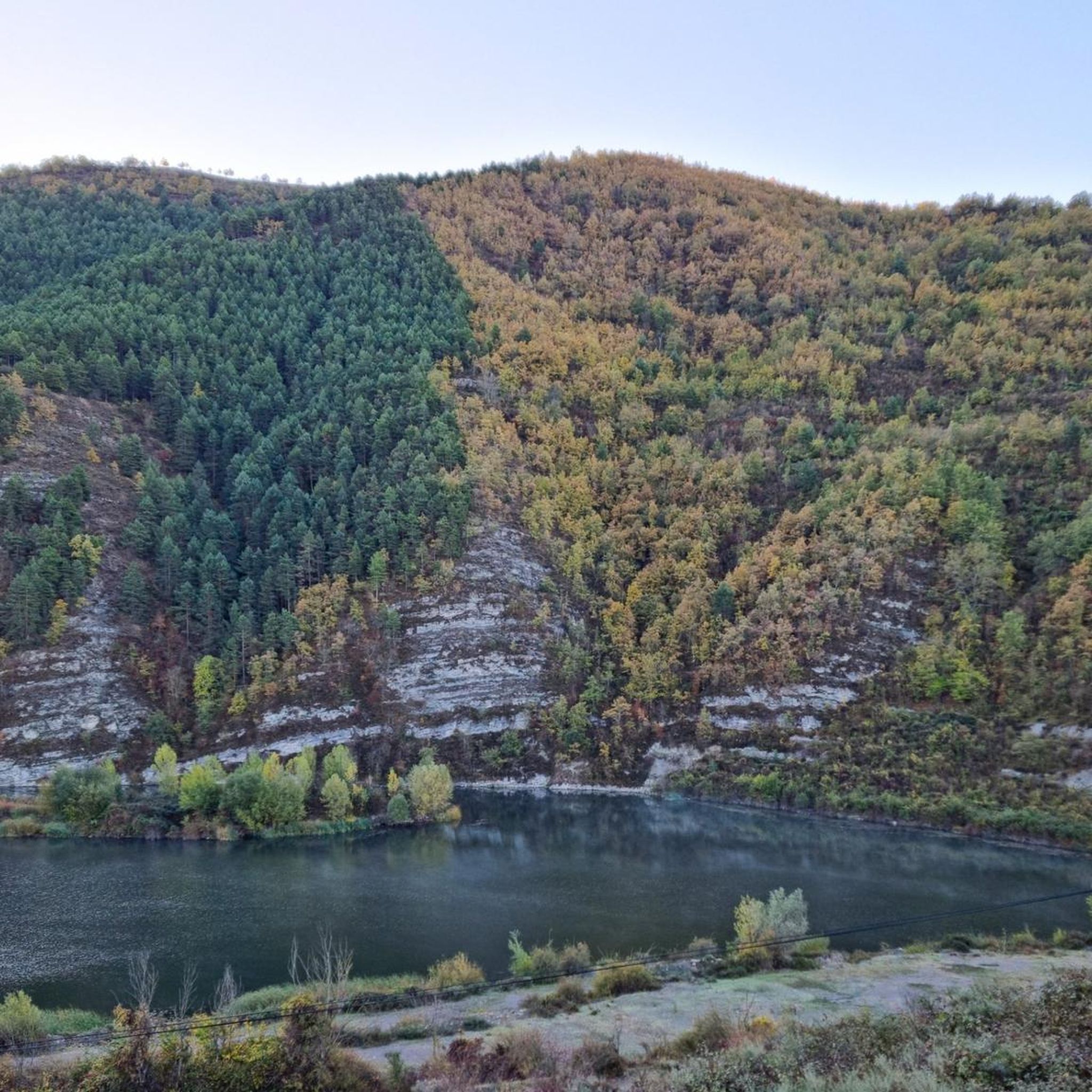


Tips from the Community

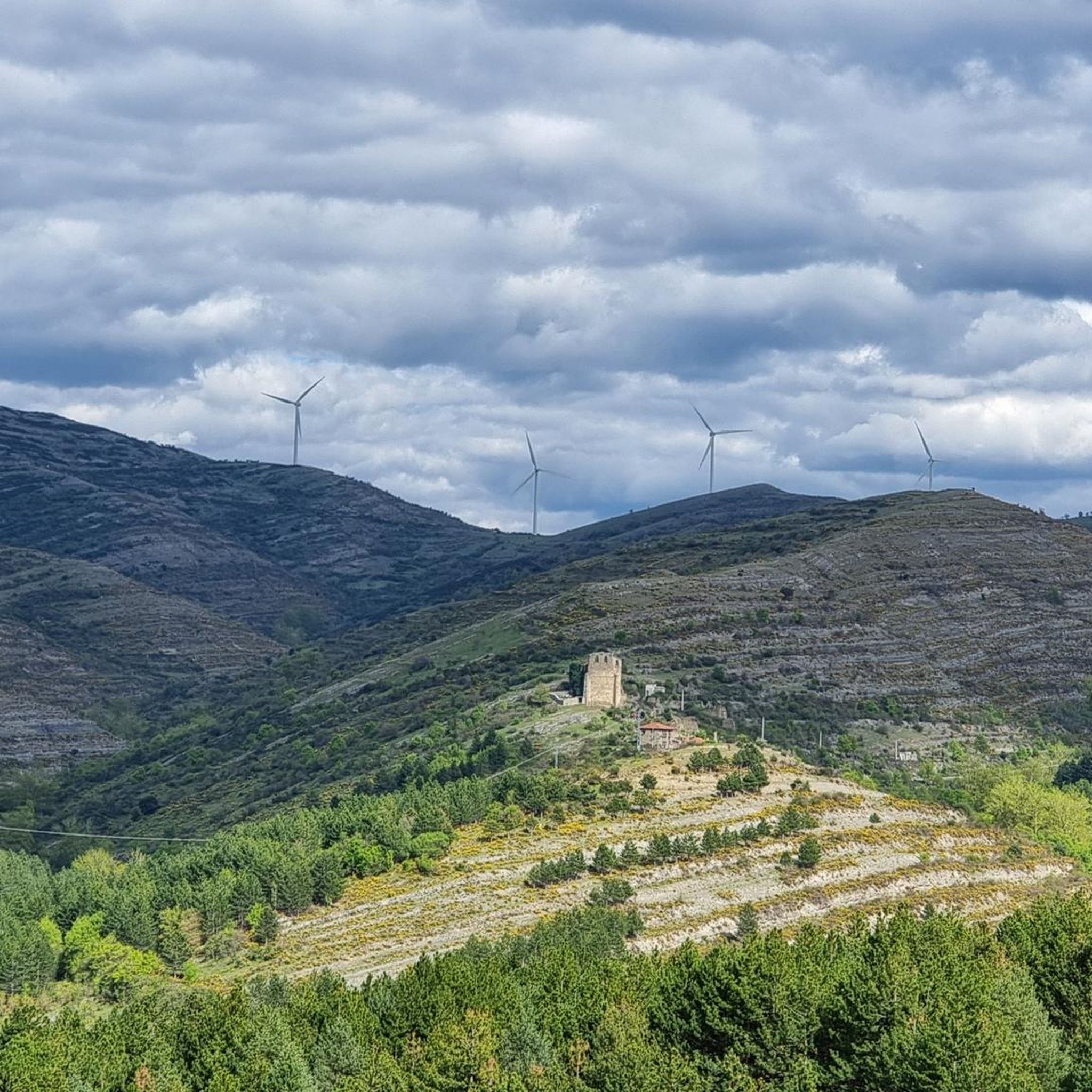
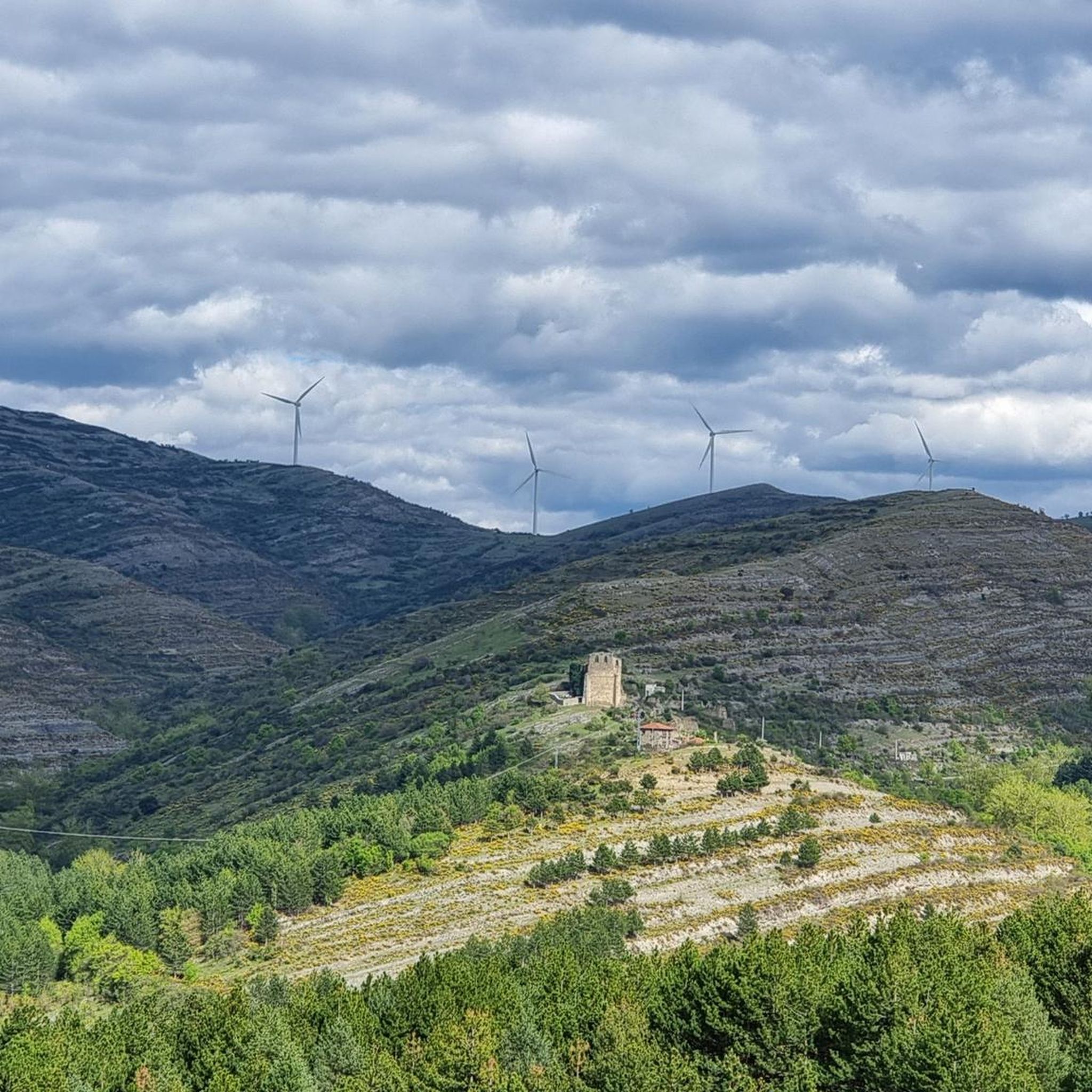
It is more impressive from below than from above, but it is worth the climb.
2
0
Views of Peña Soto, imposing from below.
4
0

Path from the top of Nalda to the road between Nalda and Viguera. Of high difficulty uphill due to the amount of loose stone and rock gardens. 180 ° curves that require a certain level of mastery of the MTB. But it pays off with beautiful views and great woodland passages. Better to do it accompanied by if the flies.
0
0
Path from Viguera to the top of Nalda. High difficulty uphill. It can be done by mountain bike or on foot
0
0
Frequently Asked Questions
How many running routes are available around San Román De Cameros?
There are over 20 running routes available for jogging around San Román De Cameros. These routes offer a variety of distances and elevations, catering to different fitness levels, though most are rated as difficult.
What is the general difficulty level of running trails in San Román De Cameros?
Most of the running trails in San Román De Cameros are rated as difficult, featuring significant elevation gains and varied terrain. For example, the Cruz de Peña Bajenza – Cerro 1800 Trail loop from Viguera is a challenging 10.3-mile route with over 800 meters of elevation gain. There are no easy routes listed in the guide, but a few are considered moderate.
Are there any family-friendly jogging routes in the area?
While many routes are rated as difficult, the diverse terrain around San Román De Cameros includes paths that can be adapted for families. The region offers varied landscapes, from lush oak and beech forests to less challenging walks along the Leza River. For a shorter option, the Peña Bajenza loop from Islallana is 3.7 miles, which might be suitable for active families.
Can I bring my dog on the running trails in San Román De Cameros?
Yes, San Román De Cameros is generally dog-friendly, with many trails suitable for running with your canine companion. The natural environment, including oak and beech forests and river valleys, provides a great setting for dogs. Always ensure your dog is on a leash and that you clean up after them to preserve the natural beauty of the area.
What kind of natural features or landmarks can I expect to see while jogging?
Jogging around San Román De Cameros offers stunning natural beauty. You can explore the impressive Leza River Canyon, enjoy panoramic views from Cerro Santa Bárbara, or discover the tranquil Velilla Meadow. The area is part of the Biosphere Reserve of the Jubera, Leza, Cidacos, and Alhama valleys, ensuring diverse and scenic backdrops for your run. You might also encounter historical sites like dolmens and Celtiberian burial sites.
Are there any circular running routes available?
Yes, many of the running routes around San Román De Cameros are circular, allowing you to start and end in the same location. Examples include the Peña Bajenza loop from Islallana and the Cerro 1800 Trail loop from La Rioja, which offer varied terrain and scenic views.
What is the best time of year to go jogging in San Román De Cameros?
The diverse landscapes of San Román De Cameros make it suitable for jogging throughout much of the year. Autumn is particularly vibrant when the extensive beech and oak forests in nearby Sierra de Cebollera Natural Park burst into color. Summer offers opportunities to swim in the Leza River's pools after a run, but be prepared for warmer temperatures. Spring provides pleasant weather and blooming flora.
Are there any viewpoints along the running trails?
Absolutely! Many trails lead to spectacular viewpoints. Climbing Cerro Santa Bárbara offers fantastic panoramic views of the surrounding area, including the Leza River valley. The Leza River Canyon also has a dedicated viewpoint where visitors can witness its grandeur. These spots provide excellent opportunities to pause and enjoy the scenery during your run.
What do other runners say about jogging in San Román De Cameros?
The running routes in San Román De Cameros are highly rated by the komoot community, with an average score of 1.0 stars from 1 review. Runners often praise the diverse natural landscapes, the challenging terrain, and the tranquility of the Leza River valley and its surrounding forests.
Are there any specific attractions or highlights near the running routes?
Yes, beyond the natural beauty, you can find several points of interest. The Leza River Canyon is a major highlight. You can also explore the village itself with its perfectly restored urban areas and historical elements. For more specific natural features, consider visiting La Isla or the impressive BarrancoDelVal gorge.
Are there options for parking near the trailheads?
While specific parking areas for each trailhead are not detailed, San Román De Cameros is a village well-equipped for outdoor activities. Given its integration into the GR 93 hiking route and its popularity for trail running, it's reasonable to expect parking facilities in or near the village, especially for routes that start from towns like Islallana or Viguera.
Can I access the running routes using public transport?
San Román De Cameros is located in the La Rioja region of Spain. While specific public transport links to every trailhead are not provided, the village itself is accessible. It's advisable to check local bus schedules to San Román De Cameros or nearby towns like Islallana or Viguera, which serve as starting points for several routes, to plan your journey.
Most popular attractions around San Román De Cameros

Get inspired with the komoot mobile app


Explore more
Browse the best Running Trails & Routes in other regions.
