The best road cycling routes around Isarmündung
4.6
(344)
6,079
riders
449
rides
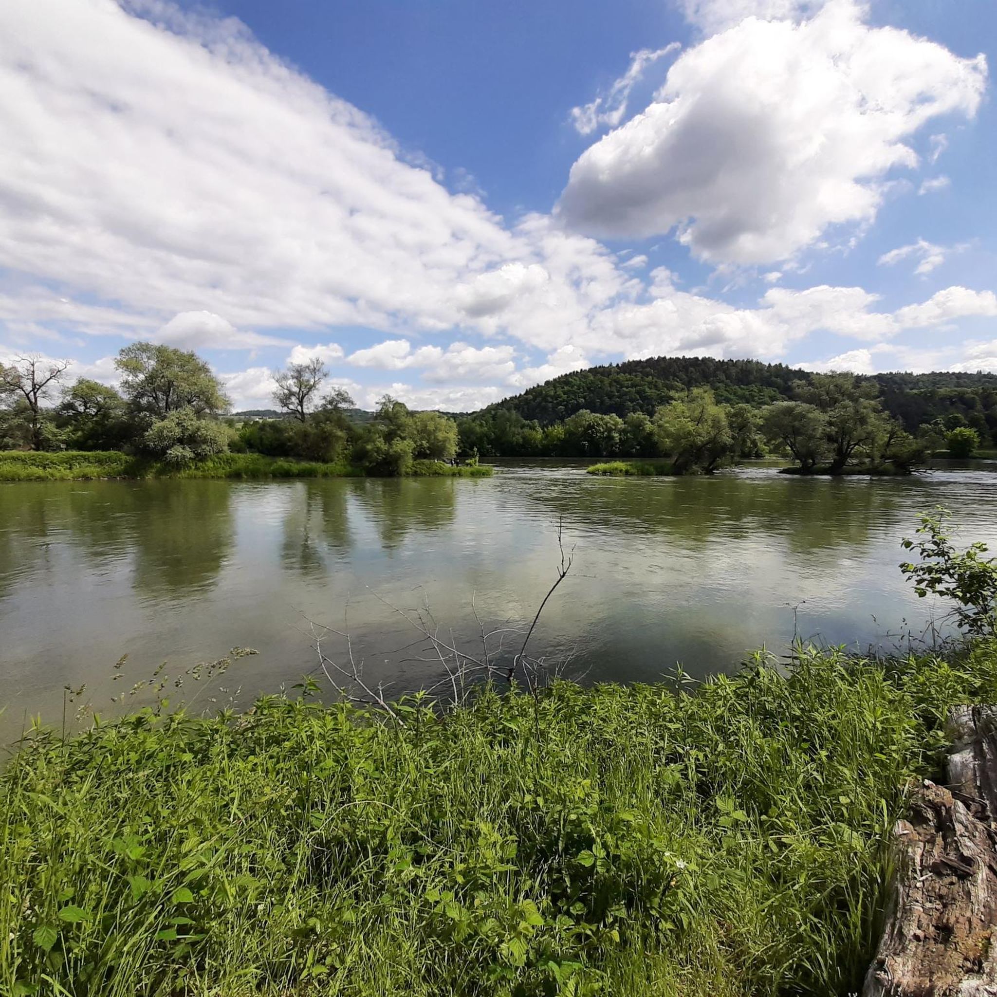
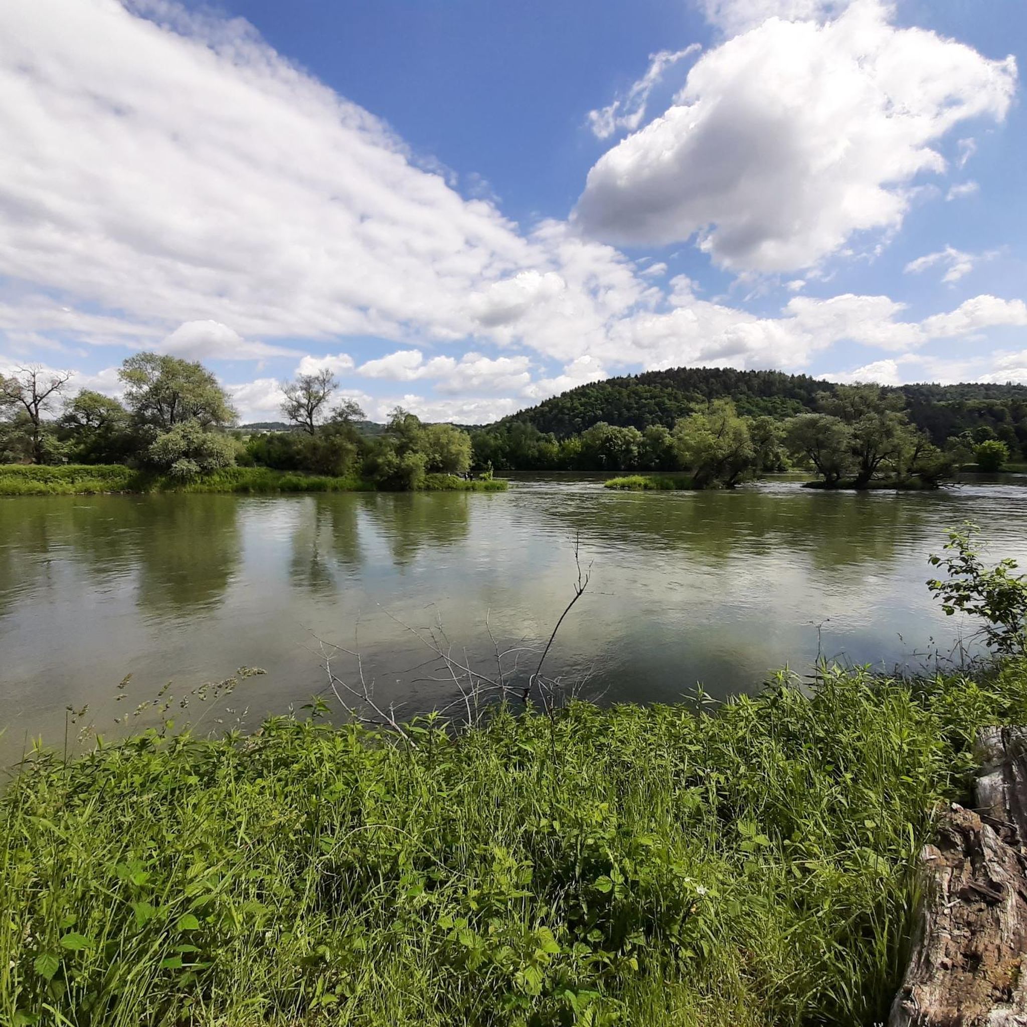
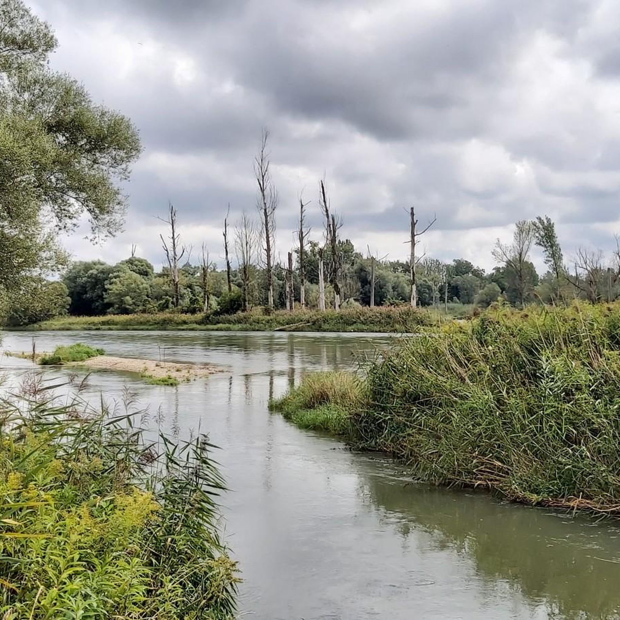
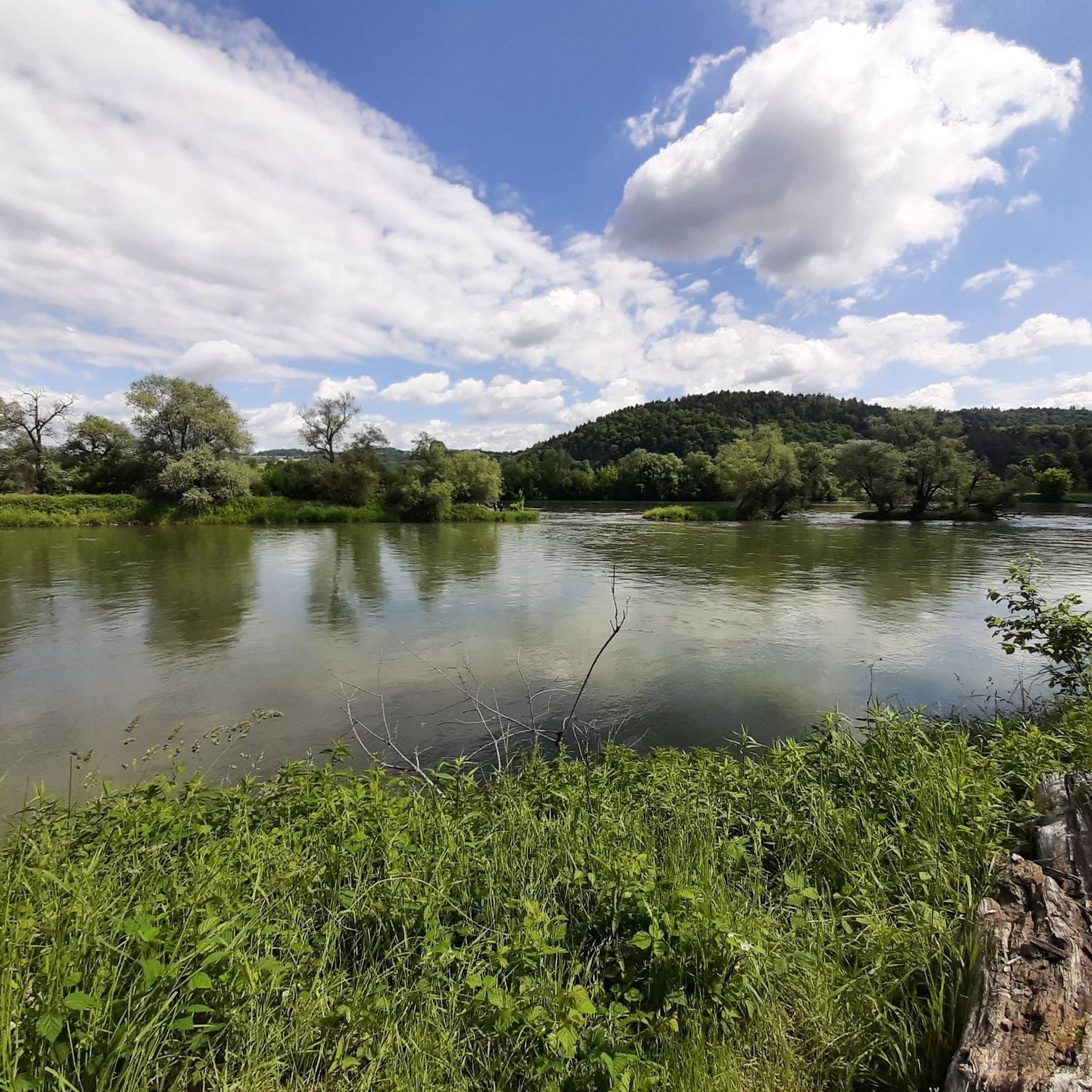
Road cycling around Isarmündung offers routes through a significant nature reserve, characterized by one of Bavaria's last large, near-natural floodplain landscapes. This area features extensive wetlands, tranquil oxbow lakes, and lush riparian forests, providing a unique natural setting. The Isar River, a central feature, transforms from a clear mountain stream to a stately river as it approaches its mouth, with the floodplain forests of the Lower Isar being among the largest in Bavaria. The cycling infrastructure is well-developed, with notably…
Last updated: July 10, 2026
90
riders
Easy road ride. Great for any fitness level. Mostly well-paved surfaces and easy to ride.
5.0
(1)
63
riders
70.5km
03:01
330m
330m
Moderate road ride. Good fitness required. Some segments of this route may be unpaved and difficult to ride.

Sign up for free
4.0
(2)
41
riders
42.9km
01:42
110m
110m
Easy road ride. Great for any fitness level. Mostly well-paved surfaces and easy to ride.
5.0
(3)
36
riders
62.6km
02:51
160m
160m
Moderate road ride. Good fitness required. Mostly well-paved surfaces and easy to ride.
31
riders
55.3km
02:59
930m
930m
Hard road ride. Very good fitness required. Some segments of this route may be unpaved and difficult to ride.
Get access to more routes and recommendations from other explorers.
Sign up for free
Already have an account?
Our route recommendations are based on thousands of hikes, rides, and runs completed by other people on komoot.
Start today with a free account
Your next adventure awaits.
Login or Signup

Tips from the Community

When the Föhn wind blows, you can see the peaks of the Alps here.
1
0

The Catholic Parish Church of the Assumption of Mary in Deggendorf stands on truly historic ground: rising on the foundations of three of its predecessor churches, it is the spiritual center of the city's Catholic parish and its members. Located between Regensburg and Passau, in the small town of Deggendorf, the Parish of the Assumption of Mary looks back on almost a thousand years of history. Incorporating the previous, late-Gothic choir, the present church was built in the 17th century. After a devastating fire 100 years later, reconstruction had to begin again. Since another renovation in 1889, the magnificent church can be entered via a sweeping open staircase. Its interior exudes a bright atmosphere: artistic stucco work is illuminated by the sunlight streaming through the large windows. An elaborate Rococo pulpit with numerous golden ornaments adds splendor to the Assumption of Mary, and the ceiling and wall paintings also contribute to the festive atmosphere. A relief depicting the Flight to Egypt, dating back to the 13th century, has been preserved from what was probably the first Romanesque church. Television has also discovered this wonderful atmosphere, broadcasting a ZDF television service from the parish church. https://www.reservix.de/deggendorf/venue/katholische-pfarrkirche-mariae-himmelfahrt/v14698
3
0

laid back, good chance for low traffic.
0
0


Currently closed due to a construction site (as of July 2023)
0
0


The core is a Romanesque church from the 11th century, the current building from the 17th/18th century
0
0
Wide, well-paved bike path next to the connecting road between Steinfürth and Steinkirchen
1
0
Frequently Asked Questions
How many road cycling routes are available in Isarmündung?
There are over 450 road cycling routes available around Isarmündung, catering to various skill levels. This includes 68 easy routes, 296 moderate routes, and 89 difficult routes, ensuring options for everyone from beginners to experienced cyclists.
What is the general terrain like for road cycling in Isarmündung?
The Isarmündung region is characterized by its notably flat and well-maintained paths, especially along the Isar Cycle Path. You'll primarily cycle through extensive wetlands, tranquil oxbow lakes, and lush riparian forests within a significant nature reserve. While generally flat, some routes may include gentle ascents, particularly those venturing slightly away from the immediate river plains.
What do other cyclists say about road cycling in Isarmündung?
The road cycling routes in Isarmündung are highly rated by the komoot community, with an average score of 4.6 stars from over 380 reviews. Cyclists often praise the serene natural landscapes, the well-maintained paths, and the unique experience of cycling through one of Bavaria's last large, near-natural floodplain areas.
Are there easy road cycling routes suitable for beginners or families in Isarmündung?
Yes, Isarmündung offers 68 easy road cycling routes perfect for beginners or families. These routes are typically flat and can be completed in a shorter time. For example, the Maximilians Bridge Deggendorf – Baden Bridge to Deggendorf loop from Rohr is an easy 13.1-mile (21.0 km) path that is notably flat and can be completed in about 51 minutes.
Are there more challenging road cycling routes with elevation in Isarmündung?
While the immediate floodplain is generally flat, there are 89 difficult road cycling routes available for those seeking more elevation. These routes often venture into areas with more varied topography. For instance, the route View of Ulrichsberg – View of Greising loop from Forstern covers 46.3 miles (74.5 km) with over 790 meters of elevation gain, offering a more demanding ride.
What natural features can I expect to see while road cycling in Isarmündung?
Road cycling in Isarmündung offers a unique opportunity to explore one of Bavaria's last large, near-natural floodplain landscapes. You'll encounter extensive wetlands, tranquil oxbow lakes, and lush riparian forests. A significant highlight is the Isar Confluence, where the Isar River meets the Danube, and the expansive Isar Floodplain Forest at the Isar Mouth.
Are there any interesting landmarks or viewpoints along the road cycling routes?
Yes, beyond the natural beauty, you can discover several points of interest. The ultimate destination for many is witnessing the Mouth of the Isar into the Danube. You might also spot the Isar Observation Tower, offering panoramic views of the river landscape. The unique 'Growing Rock' of Usterling is another geological wonder in the vicinity.
Can I find circular road cycling routes in Isarmündung?
Yes, many of the road cycling routes in Isarmündung are designed as loops, allowing you to start and end at the same point. An example is the popular View of Donaupark Deggendorf – Niederaltaich Abbey loop from Pankofen, a 43.0-mile (69.2 km) route that offers scenic views and returns to your starting location.
What is the best time of year for road cycling in Isarmündung?
The Isarmündung region is generally enjoyable for road cycling from spring through autumn. The paths are well-maintained, and the flat terrain makes it accessible. Spring brings fresh greenery, while autumn offers beautiful foliage. Summer is also pleasant, but it's always advisable to check local weather conditions before heading out.
Are there options for parking or public transport to access the cycling routes?
The Isarmündung area, particularly around Deggendorf, offers various options for parking. Many routes start from towns or villages where parking is available. For public transport, regional buses and trains can connect you to towns near the Isarmündung, from where you can easily access the cycling network. It's recommended to check specific transport schedules and parking availability for your chosen starting point.
Are there any cafes or places to stop for refreshments along the routes?
Yes, as the Isarmündung is a popular area for outdoor activities, you'll find cafes and eateries in the towns and villages bordering the nature reserve, such as Deggendorf and Plattling. These spots provide opportunities for refreshments and breaks during your ride. The Infozentrum Isarmündung also offers facilities and information.
Can I bring my dog on the road cycling trails in Isarmündung?
While the Isarmündung is a nature reserve, many paths are suitable for cycling with dogs, provided they are well-behaved and kept on a leash, especially in sensitive ecological areas. Always be mindful of local regulations and other visitors. The flat, well-maintained paths make it easier for dogs to accompany you, but ensure they are comfortable with the distance and pace.
Most popular routes around Isarmündung
Most popular attractions around Isarmündung

Get inspired with the komoot mobile app


Explore more
Browse the best Road cycling routes in other regions.
