The best MTB trails around Trabanca
4.7
(3)
19
riders
11
rides
Mountain biking around Trabanca offers diverse terrain at the foothills of the Serra da Estrela Natural Park. The region is characterized by a mix of granite and shale formations, providing a dynamic landscape for riders. Mountain bikers can explore verdant valleys and discover various water features, adding to the scenic appeal of the trails. This challenging topography includes both technical descents and climbs, catering to different skill levels.
Best mountain bike trails around Trabanca
- The most popular mountain bike trail…
Last updated: July 7, 2026
5.0
(1)
5
riders
21.1km
01:56
370m
370m
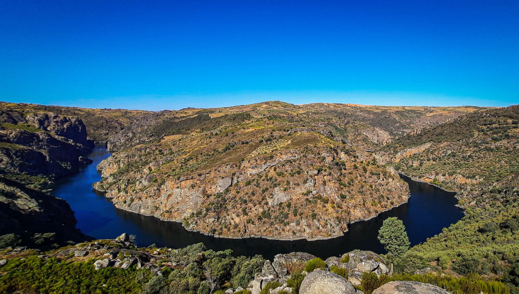
Explore the Gran Meandro del Duero on this 13.1-mile moderate mountain biking route from Fermoselle, with stunning river views.
4.0
(1)
4
riders
37.7km
03:03
590m
590m
Hard mountain bike ride. Good fitness required. Advanced riding skills necessary. Some portions of the route may require you to push your bike.

Sign up for free
1
riders
58.4km
05:04
720m
720m
Hard mountain bike ride. Very good fitness required. Advanced riding skills necessary.
27.2km
02:38
650m
650m
This difficult 16.9-mile mountain biking trail in Parque Natural de Arribes del Duero offers challenging climbs and scenic views.
29.5km
02:15
360m
360m
Experience the Molino del Pasadero BTT Trail, a difficult 18.4-mile mountain biking route with river views in Parque Natural de Arribes del
Get access to more routes and recommendations from other explorers.
Sign up for free
Already have an account?
Our route recommendations are based on thousands of hikes, rides, and runs completed by other people on komoot.
Start today with a free account
Your next adventure awaits.
Login or Signup




Tips from the Community

Very beautiful landscape, a great route. The section is easy to drive on, a relaxed tour to enjoy the area.
1
0

This track of the natural path of the Duero runs through a beautiful landscape with old oak trees and granite masses that peek out of the ground.
1
0

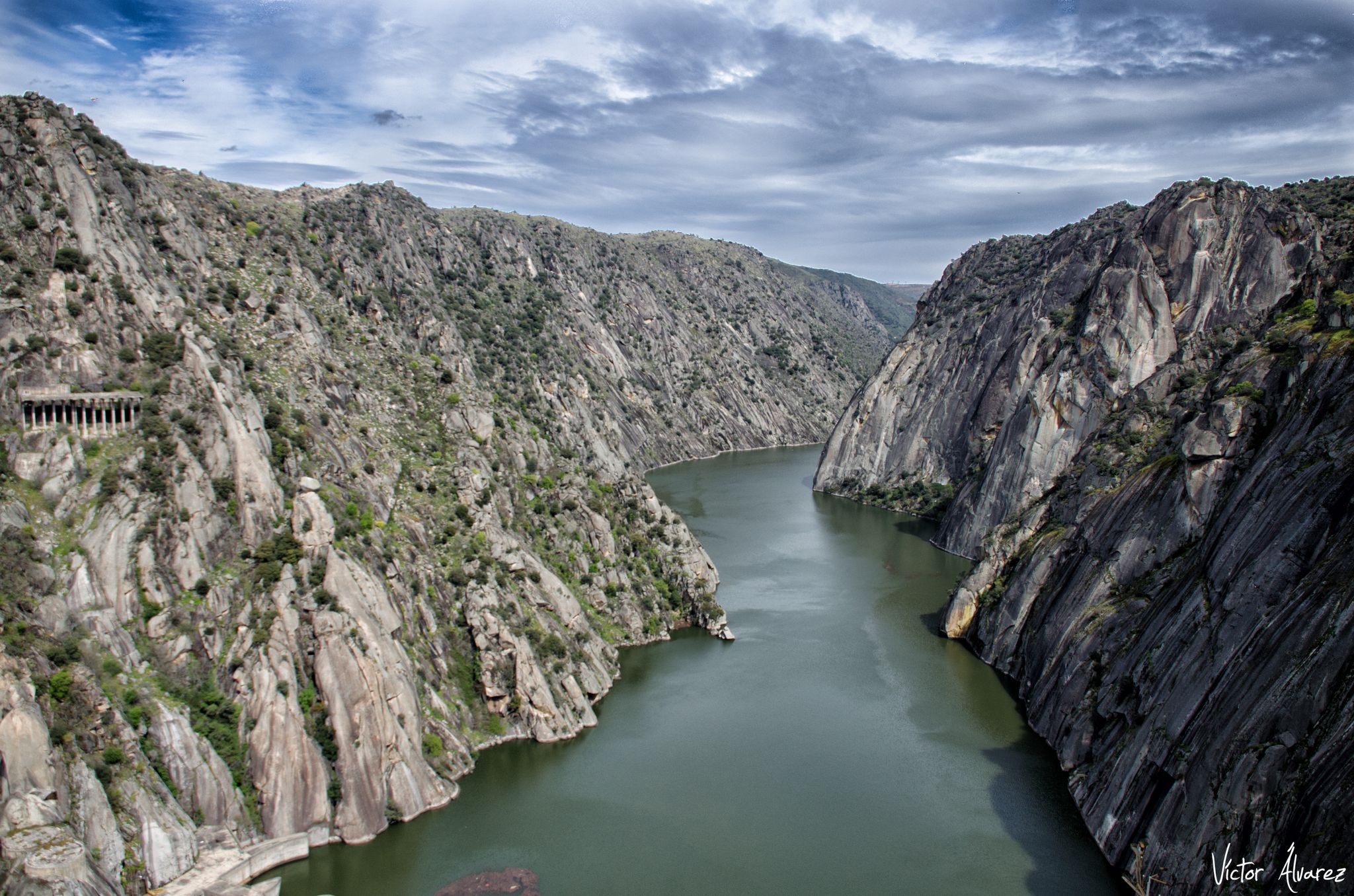
On the border between Portugal and Spain, this spectacular structure of the Bemposta hydroelectric dam on the Douro River.
1
0

Picturesque footpath near the beautiful town of Fornillos de Fermoselle
1
0
Path that runs between Pinilla and Fornillos de Fermoselle along the GR14 and near the long Duero Route. Paths in ideal conditions for mountain bike lovers in the Sayago region.
1
0
From this point on the road we have magnificent views of the artificial lake La Cantera. There is a path that we will see from here to get closer to the water, an ideal place to take a break and enjoy nature during our route.
1
0
Nice picture that we found rolling along the long route of the Duero near the refuge of the Falla del Peine. These stones that we see are granite monoliths, a work of decoration that adorns the path.
1
0
At this point a beautiful path begins and/or ends with spectacular views of the Almendra Reservoir towards the viewpoints (1 and 2) of the imposing dam.
1
0
Frequently Asked Questions
How many mountain bike trails are available around Trabanca?
Trabanca offers a selection of 11 mountain bike trails, catering to various skill levels. You'll find a mix of moderate and difficult routes to explore the region's diverse terrain.
What kind of terrain can I expect on mountain bike trails in Trabanca?
The terrain around Trabanca is characterized by a dynamic mix of granite and shale formations. Riders can expect to navigate through verdant valleys and encounter various water features, providing a challenging and scenic experience at the foothills of the Serra da Estrela Natural Park.
What is the best time of year for mountain biking in Trabanca?
The region is particularly pleasant for mountain biking when wildflowers are in bloom, enhancing the natural beauty of the trails. Generally, the weather during these periods is ideal for outdoor activities, offering comfortable conditions for riding.
Are there challenging mountain bike routes for experienced riders in Trabanca?
Yes, Trabanca offers several challenging routes for experienced mountain bikers. For instance, the Los cañones del Tormes y presa de Almendra — circular desde Fermoselle is a difficult 37.7 km (23.4 miles) path that navigates through canyons and past the Almendra dam. Another demanding option is the Ruta de los Arrieros en Sayago — circular desde Fermoselle, a 58.4 km (36.3 miles) trail through the Sayago region.
What scenic points or landmarks can I see along mountain bike trails in Trabanca?
Mountain bike trails in Trabanca offer access to several scenic points and natural landmarks. You can enjoy panoramic views from various viewpoints like the Staircase Viewpoint, Peña del Cura Viewpoint, and Cerca Viewpoint. The Almendra Reservoir and Salce Beach – Almendra Reservoir are also notable water features you might encounter.
Are there any circular mountain bike routes in Trabanca?
Yes, several mountain bike routes in Trabanca are circular. Examples include the difficult Los cañones del Tormes y presa de Almendra — circular desde Fermoselle and the Ruta de los Arrieros en Sayago — circular desde Fermoselle, both offering a complete loop experience.
What do other mountain bikers enjoy most about mountain biking in Trabanca?
The mountain bike trails in Trabanca are highly rated by the komoot community, with an average score of 4.7 stars. Riders often praise the region's varied terrain, which includes granite and shale formations, lush valleys, and challenging topography, offering options for different ability levels.
Are there any moderate difficulty mountain bike trails in Trabanca?
Yes, there are moderate difficulty mountain bike trails available. A popular choice is the Duero Trail, a 21.1 km (13.1 miles) route that offers scenic views along the Duero river and takes approximately 1 hour 56 minutes to complete.
Are there any natural features to explore while mountain biking in Trabanca?
Absolutely. Trabanca's mountain biking routes often lead through diverse natural features, including verdant valleys and various water features. The region's unique geological formations of granite and shale also contribute to a visually interesting and varied landscape.
Are there any trails that pass by reservoirs or lakes?
Yes, some trails offer views of or pass near significant water bodies. For example, the difficult Los cañones del Tormes y presa de Almendra — circular desde Fermoselle route navigates past the Almendra dam and reservoir, providing impressive water views.
What is the elevation gain like on mountain bike trails in Trabanca?
The elevation gain on mountain bike trails in Trabanca varies depending on the route. For instance, the Duero Trail has an elevation gain of approximately 372 meters, while more challenging routes like the Ruta de los Arrieros en Sayago — circular desde Fermoselle can involve over 700 meters of ascent.
Are there any mountain bike trails suitable for a full day's ride?
Yes, several trails are long enough for a full day's adventure. The Ruta de los Arrieros en Sayago — circular desde Fermoselle, at 58.4 km (36.3 miles), typically takes around 5 hours to complete, making it an excellent option for an extended ride.
Most popular routes around Trabanca
Most popular attractions around Trabanca

Get inspired with the komoot mobile app


Explore more
Browse the best MTB trails in other regions.
