The best walks and hikes around Orellana De La Sierra
4.1
(5)
23
hikers
7
hikes
Hiking around Orellana De La Sierra offers diverse landscapes, situated at the foot of the Sierra de Pela and bordering the vast Orellana Reservoir. The terrain features hard quartzite cliffs, red earth slopes, and fertile peneplains, transitioning through Mediterranean scrubland, dehesas, and pine and oak woodlands. The region is part of the Natura 2000 network, designated for its ecological significance and birdlife.
Best hiking trails around Orellana De La Sierra
- The most popular hiking route is Puente Cogolludo from Orellana…
Last updated: July 5, 2026
2
hikers
Moderate hike. Good fitness required. Easily-accessible paths. Suitable for all skill levels.
4.7
(3)
5
hikers
8.92km
02:37
250m
240m
Moderate hike. Good fitness required. Easily-accessible paths. Suitable for all skill levels.

Sign up for free
Hard hike. Very good fitness required. Easily-accessible paths. Suitable for all skill levels.
3.5
(2)
5
hikers
20.9km
05:48
390m
390m
Hard hike. Very good fitness required. Easily-accessible paths. Suitable for all skill levels.
6
hikers
4.95km
01:20
60m
60m
Easy hike. Great for any fitness level. Easily-accessible paths. Suitable for all skill levels.
Get access to more routes and recommendations from other explorers.
Sign up for free
Already have an account?
Our route recommendations are based on thousands of hikes, rides, and runs completed by other people on komoot.
Start today with a free account
Your next adventure awaits.
Login or Signup
Popular around Orellana De La Sierra
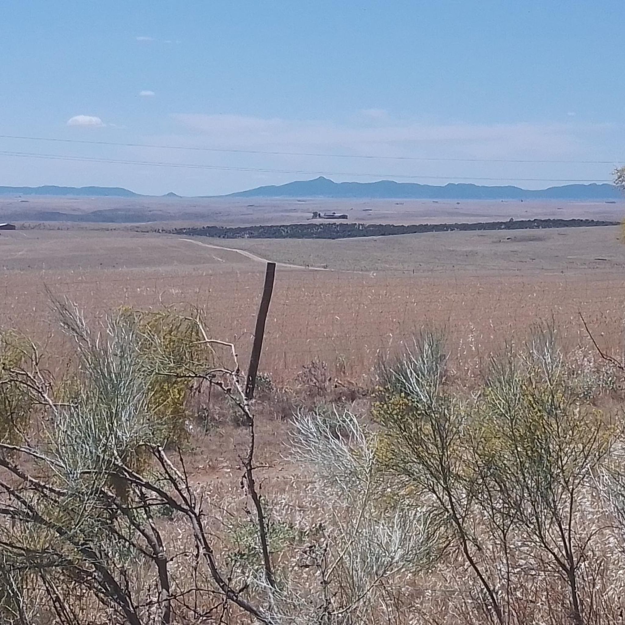
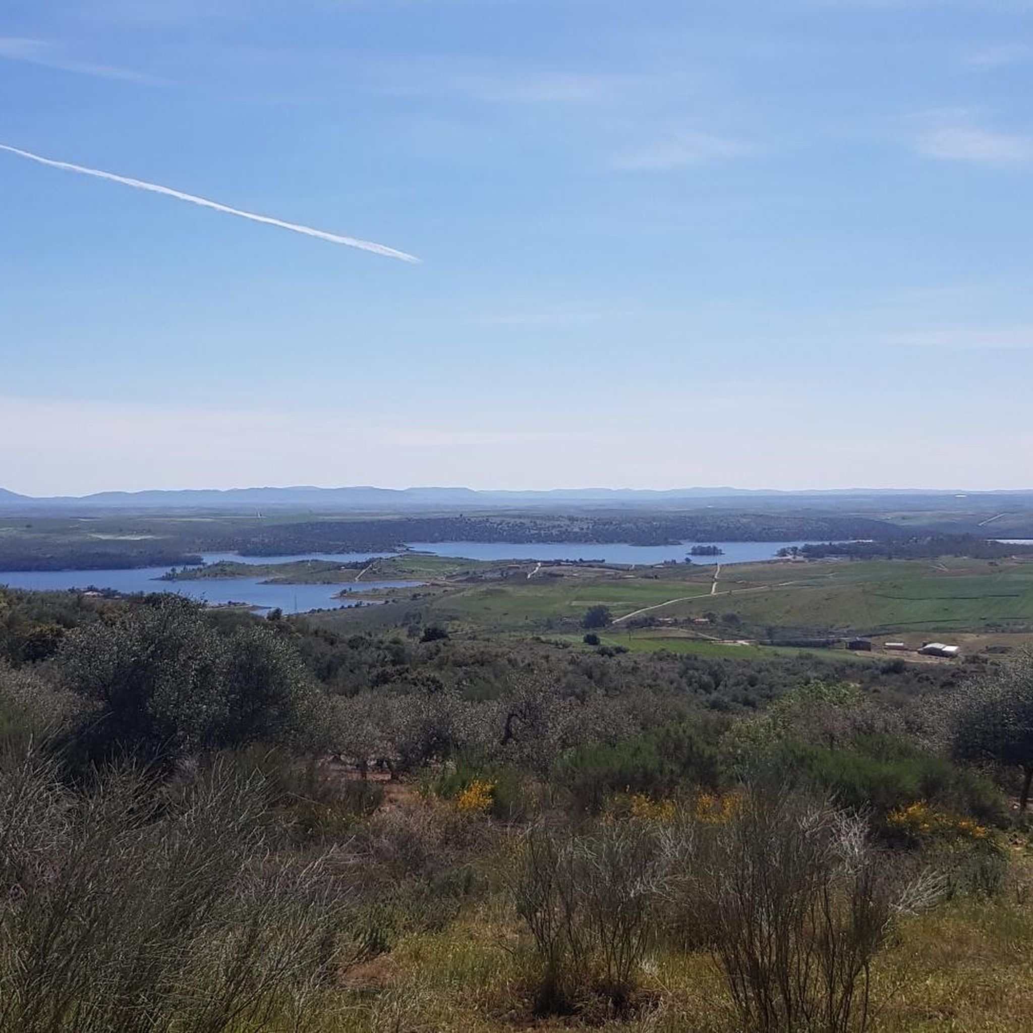
Tips from the Community

The Camino de las Tres Cruces in Navalvillar de Pela is a very attractive hiking route within the La Siberia Extremeña region, ideal for enjoying natural landscapes, panoramic views and local heritage.
2
0
It's a historic bridge located over the Guadiana River, near the pre-Roman ruins of Lacimurga. It's part of the Senda de los Embalses (Reservoirs Path), a popular hiking and nature trail.
5
0

A picturesque bridge over the Orellana reservoir, which ends with a tunnel excavated in the rock. Beautiful views.
1
1

Orellana de la Sierra is a town that is located in the middle of the Sierra de Pela, covered by its northern slope but elevated above the rest of the land. It is a good population to see the whole of the Orellana Reservoir.
0
1
Navalvillar de Pela is the gateway to the region of La Siberia on the route that comes from Villanueva de la Serena. In ancient times it belonged to Trujillo, in Cáceres, and its inhabitants are known as 'peleños'.
23
0
Mirador de Las Torretas is located near the Cerro de las Tres Cruces peak and the town of Navalvillar de Pela
11
0
Roman Villa of Lacimurga. These ruins are located in the place known as Cogolludo. It is a very pleasant place, next to the Guadiana river.
13
0
This town, popularly known as Orellanita, is connected, according to some legends, with Roman times, specifically with a Roman legion called Aurelia, supposedly based in this place, from which the place name Aureliana would have arisen and, from it, Orellana. In its medieval times it is located in the population privilege granted by Enrique II to Alvar García Bejarano, owner of the castle of the Bejaranos and who would change his title to that of Orellana.
13
0
Frequently Asked Questions
How many hiking trails are available around Orellana De La Sierra?
There are over 8 hiking routes available around Orellana De La Sierra. These trails offer a variety of experiences, from easy strolls to more challenging treks, exploring the diverse landscapes of the region.
What is the best time of year to go hiking in Orellana De La Sierra?
The optimal time for hiking in Orellana de la Sierra is during spring and autumn. During these seasons, temperatures are pleasant, making it ideal to explore the region's diverse landscapes without the extreme heat of summer or the cooler, potentially wetter conditions of winter.
Are there easy hiking trails suitable for beginners in Orellana De La Sierra?
Yes, Orellana De La Sierra offers several easy hiking options. For instance, the Playa de Orellana loop from Orellana la Vieja is an easy 3.1-mile (5.0 km) trail that takes about 1 hour 19 minutes to complete, perfect for a relaxed walk near the reservoir.
Where can I find more challenging hikes around Orellana De La Sierra?
For those seeking a challenge, the region provides difficult routes that delve deeper into the landscape. A demanding option is the Orellana de la Sierra Village – Playa de Orellana loop from Orellana la Vieja, a 12.9-mile (20.8 km) trail with significant elevation changes, offering a rigorous experience for regular hikers.
What natural features or landmarks can I expect to see on hikes in this region?
Hiking in Orellana de la Sierra allows you to experience a rich variety of natural features. You'll encounter the vast Orellana Reservoir, often called Extremadura's 'inland sea,' and the mountainous backdrop of the Sierra de Pela. The trails traverse diverse habitats including Mediterranean scrubland, dehesas (oak meadows), and quartzite cliffs. You might also spot historical elements like the ancient Puente Cogolludo bridge.
Are there any circular hiking routes in Orellana De La Sierra?
Yes, there are circular routes available. One notable option is the Orellana la Vieja from Playa de las Casetas – circular by the Embalse and Canal de Orellana. This moderate 10.3-mile (16.5 km) path allows you to explore the surroundings of the Orellana Reservoir and its canal in a loop.
What kind of terrain will I encounter on the hiking trails?
The terrain around Orellana De La Sierra is quite varied. You'll hike through hard, gray quartzite cliffs, red earth slopes, and fertile peneplains. The routes also pass through Mediterranean scrubland, pastures, jarares (rockrose bushes), dehesas (oak meadows), and shaded pine and oak woodlands, reflecting the region's diverse ecological richness.
What do other hikers enjoy most about hiking in Orellana De La Sierra?
The hiking routes in Orellana De La Sierra are highly rated by the komoot community, with an average score of 4.1 stars. Reviewers often praise the diverse landscapes, the stunning views of the Orellana Reservoir, and the opportunity to explore both natural beauty and historical sites like the Puente Cogolludo.
Are there any historical or cultural points of interest to explore while hiking?
Beyond its natural beauty, the region offers several points of historical and cultural interest. You can encounter the ruins of the Roman city of Lacimurga, and in Orellana de la Sierra village itself, explore structures like the Castle and Palace of the Orellana. The historic Puente Cogolludo is also a significant landmark along some routes.
Is Orellana de la Sierra a good destination for birdwatching during a hike?
Yes, Orellana de la Sierra is an excellent destination for birdwatching. The area, particularly around the Orellana Reservoir and Sierra de Pela, is part of the Natura 2000 network and designated as a Special Protection Area for Birds (SPA). Hikers often have the chance to spot species like golden eagles, black storks, and griffon vultures.
Are there any trails that offer views of the Orellana Reservoir?
Many trails in the region offer spectacular views of the Orellana Reservoir. For example, the Las Torretas from Navalvillar de Pela – round trip via Sierra de Pela provides scenic vistas as it winds through the Sierra de Pela, overlooking the vast 'inland sea'.
Can I find trails that are part of longer-distance paths?
Yes, Orellana de la Sierra is connected to longer-distance routes. The nearby town of Orellana la Vieja is a strategic stop on the Guadiana Natural Path. Stage 24 of this path introduces hikers to the Orellana surroundings, crossing the Cogolludo bridge and passing through Orellana de la Sierra, showcasing the region's landscape transition.
Most popular routes around Orellana De La Sierra
Most popular attractions around Orellana De La Sierra

Get inspired with the komoot mobile app


Explore more
Browse the best Hikes in other regions.
