The best running trails around Pazuengos
4.5
(4)
613
runners
50
runs
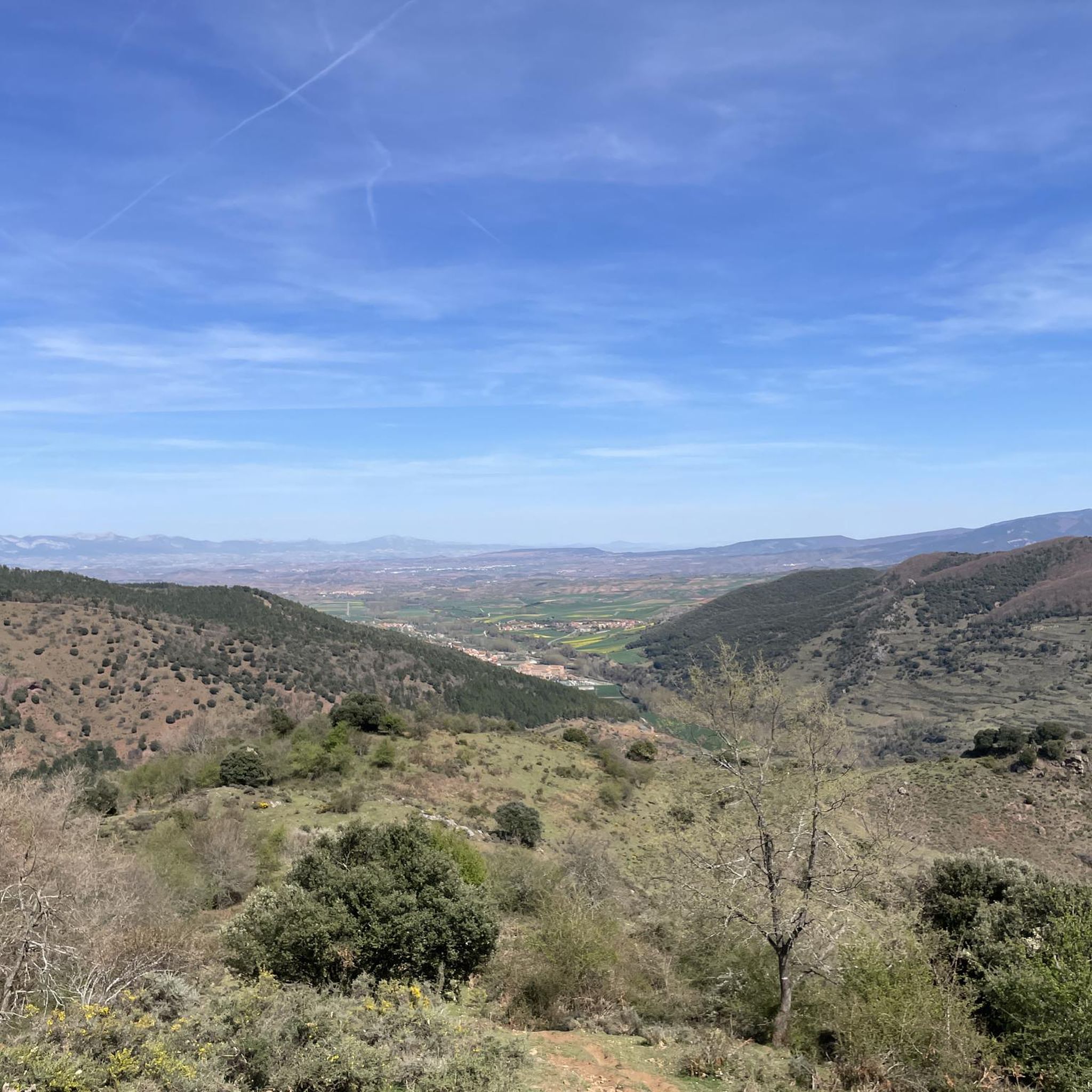
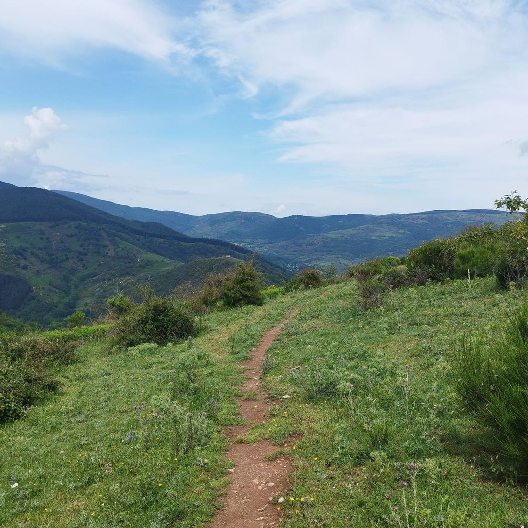
Jogging routes around Pazuengos offer diverse and striking natural landscapes, situated at the foot of Monte San Lorenzo. The region features mountainous terrain with peaks like Cabeza Parda and extensive forests of beech and oak, providing varied physical challenges and shaded paths. The Calabazares River flows through the area, offering flatter sections alongside water. Trails present a mix of surfaces, from forest paths to more established tracks.
Best jogging routes around Pazuengos
- The most popular jogging route is The Sampol…
Last updated: July 4, 2026
11
runners
Hard run. Very good fitness required. Mostly paved surfaces. Suitable for all skill levels.
20
runners
Hard run. Very good fitness required. Mostly accessible paths. Some sure footedness required.

Sign up for free
7
runners
18.9km
02:37
760m
760m
Hard run. Very good fitness required. Mostly paved surfaces. Suitable for all skill levels.
6
runners
14.3km
02:01
620m
620m
Hard run. Very good fitness required. Mostly paved surfaces. Suitable for all skill levels.
7
runners
11.1km
01:09
80m
80m
Moderate run. Good fitness required. Mostly paved surfaces. Suitable for all skill levels.
Get access to more routes and recommendations from other explorers.
Sign up for free
Already have an account?
Our route recommendations are based on thousands of hikes, rides, and runs completed by other people on komoot.
Start today with a free account
Your next adventure awaits.
Login or Signup

Tips from the Community

The Monastery of San Millán de la Cogolla is a place of great importance in the La Rioja region of Spain. Founded in the 6th century AD by Saint Millán, this monastery has a rich history and a special connection with the Castilian language.
3
0
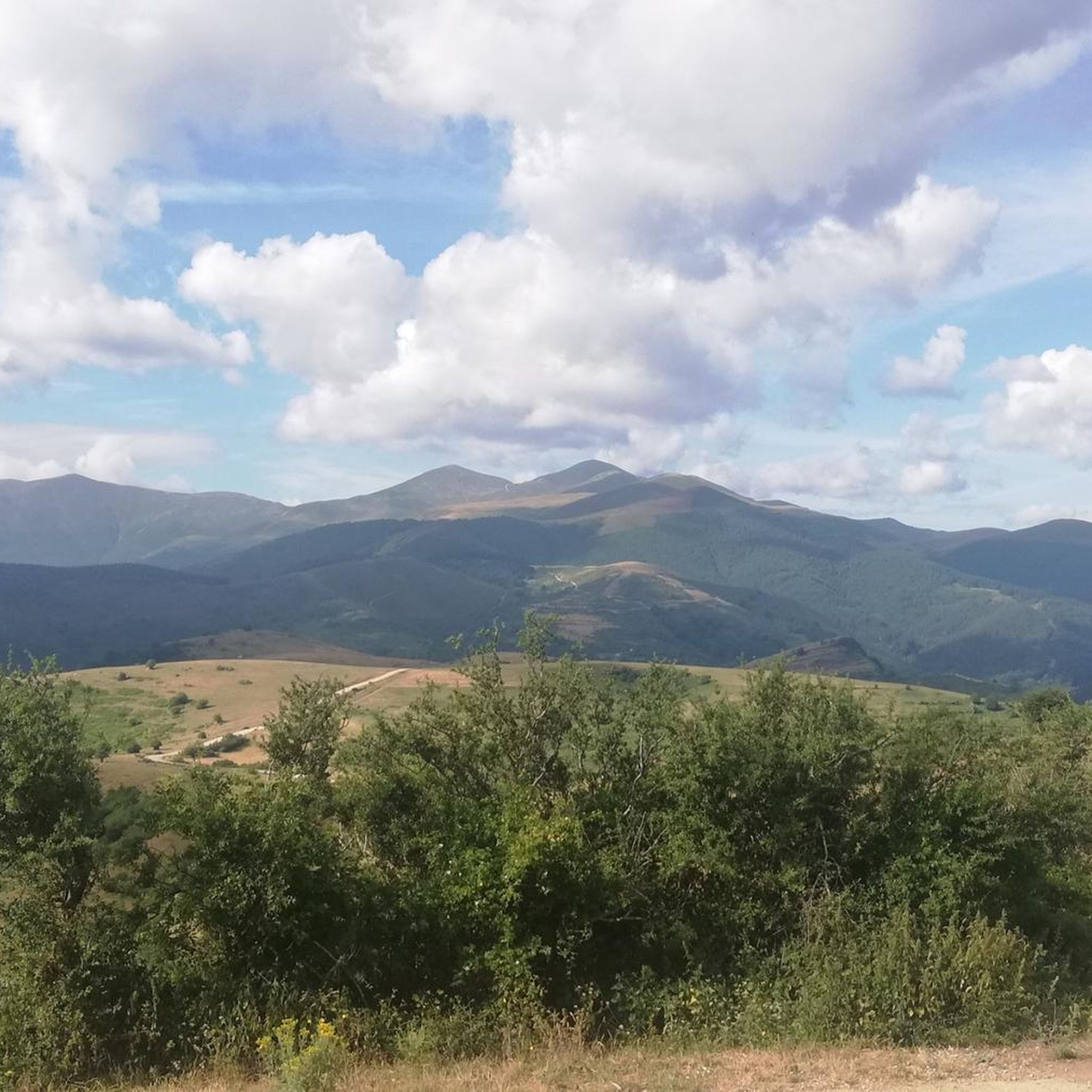
The Cumbres de la Demanda are a series of peaks located in the Sierra de la Demanda, which stretches between La Rioja, Burgos, and Soria. The route covers several of the highest peaks, including Pico San Millán (2,132 meters), the highest in the province of Burgos.
1
0
The Seven Bridges Route in Ezcaray is one of the most beautiful hiking trails in La Rioja. The route follows the course of the stream, crossing it several times on small wooden bridges. A spectacular forest that looks like something out of a fairy tale.
1
0
The Monastery of San Millán de la Cogolla is a place of great importance in the region of La Rioja, Spain. Founded in the 6th century AD. by San Millán, this monastery has a rich history and a special connection with the Spanish language.
8
0

The "Rioja Escorial". A spectacular monastery in the middle of a valley at the foot of the roof of La Rioja, Mount San Lorenzo.
0
1
Declared a World Heritage Site by UNESCO, the environment is wonderful. Access in private vehicles is prohibited. To go up you have to take a bus from the Yuso Monastery. Hours at https://monasteriodesanmillan.com/
0
1

The complex is made up of two independent monasteries. On the one hand, San Millán de Suso, the oldest, was founded by San Millán himself. On the other, San Millán de Yuso, created centuries later by his followers. Within its walls many legends have been formed throughout the centuries.
1
0

Good views of the mountains from the Vía Verde del Oja. The layout follows the old railway path through 2 stages. The path that runs along the old railway is 26 km long and a junction of 12 km with Haro has been conditioned, called the Oja-Tirón Green Route.
1
0
Frequently Asked Questions
How many running routes are available around Pazuengos?
There are over 45 running routes available in the Pazuengos area. These trails offer diverse experiences through mountainous terrain and lush forests.
Are there running trails for all skill levels in Pazuengos?
Pazuengos primarily offers challenging running experiences. While there are 8 moderate routes, the majority (39) are rated as difficult, often featuring significant elevation changes through mountainous terrain. Beginners might find some sections demanding.
What kind of natural landscapes can I expect on the running routes in Pazuengos?
The running routes in Pazuengos wind through diverse and striking natural landscapes. You'll encounter mountainous terrain, including peaks like Cabeza Parda, and extensive forests of beech and oak, providing shaded paths. The Calabazares River also flows through the area, offering relatively flatter sections alongside flowing water.
Are there any notable landmarks or attractions along the running trails?
Yes, several routes pass by significant landmarks. For instance, the Monastery of Suso loop from San Millán de la Cogolla leads you near the historic San Millán de la Cogolla Monastery and the Suso and Yuso Monasteries. The Monasterio de Valvanera is also a key attraction in the region, often serving as a starting or ending point for trails like the Path of Valvanera.
What do other runners enjoy most about the trails in Pazuengos?
The running routes in Pazuengos are highly rated by the komoot community, with an average score of 4.5 stars. Runners often praise the challenging ascents, the immersive experience within dense beech and oak forests, and the stunning mountainous scenery, especially around Monte San Lorenzo.
Are there any circular running routes in the area?
Yes, many of the routes around Pazuengos are circular, allowing you to start and finish at the same point. Examples include The Sampol Little Airplane – Summit of La Picota (El Hermoso) loop from Santurde de Rioja and the Monte San Lorenzo loop from Estación de esquí de Valdezcaray.
Can I bring my dog on the running trails in Pazuengos?
While many natural areas in La Rioja are dog-friendly, it's always best to check local regulations for specific trails, especially those passing through protected areas or private land. Generally, dogs are welcome on leash on most public trails, but always ensure they are under control and that you clean up after them.
Are there any family-friendly running options in Pazuengos?
Given the predominantly difficult rating of many routes, Pazuengos is more suited for experienced runners. However, some sections along the Calabazares River or parts of the GR-93 trail might offer gentler terrain for families looking for a less strenuous walk or jog. Always check the route details for elevation and distance before heading out with children.
What is the best time of year for running in Pazuengos?
The varied terrain and forests make Pazuengos enjoyable across seasons. Spring and autumn offer pleasant temperatures and vibrant foliage. Summer provides shaded paths in the extensive beech and oak forests, though higher elevations can be warm. Winter running is possible, but be prepared for potentially muddy or snowy conditions, especially on higher mountain paths.
Are there options for parking near the running trailheads?
Parking availability varies by trailhead. For routes starting from villages or popular attractions like the Valvanera Monastery, you will typically find designated parking areas. For more remote trailheads, roadside parking might be an option. It's advisable to check the specific route details on komoot for parking information before your run.
Are there any long-distance running trails in the Pazuengos region?
Yes, Pazuengos is a key point along the GR-93 trail network, a long-distance path that offers extensive opportunities for longer runs. The Path of Valvanera, a 9.6 km route, also provides a substantial and scenic option through forests and along rivers.
What kind of trail surfaces can I expect while running?
The trails around Pazuengos offer a mix of surfaces. You'll encounter natural forest paths, which can be soft, mossy, or muddy in shaded areas, as well as more established tracks. This variety provides different levels of impact and engagement for runners.
Most popular attractions around Pazuengos

Get inspired with the komoot mobile app


Explore more
Browse the best Running Trails & Routes in other regions.
