The best road cycling routes around Ojacastro
4.4
(68)
1,828
riders
55
rides
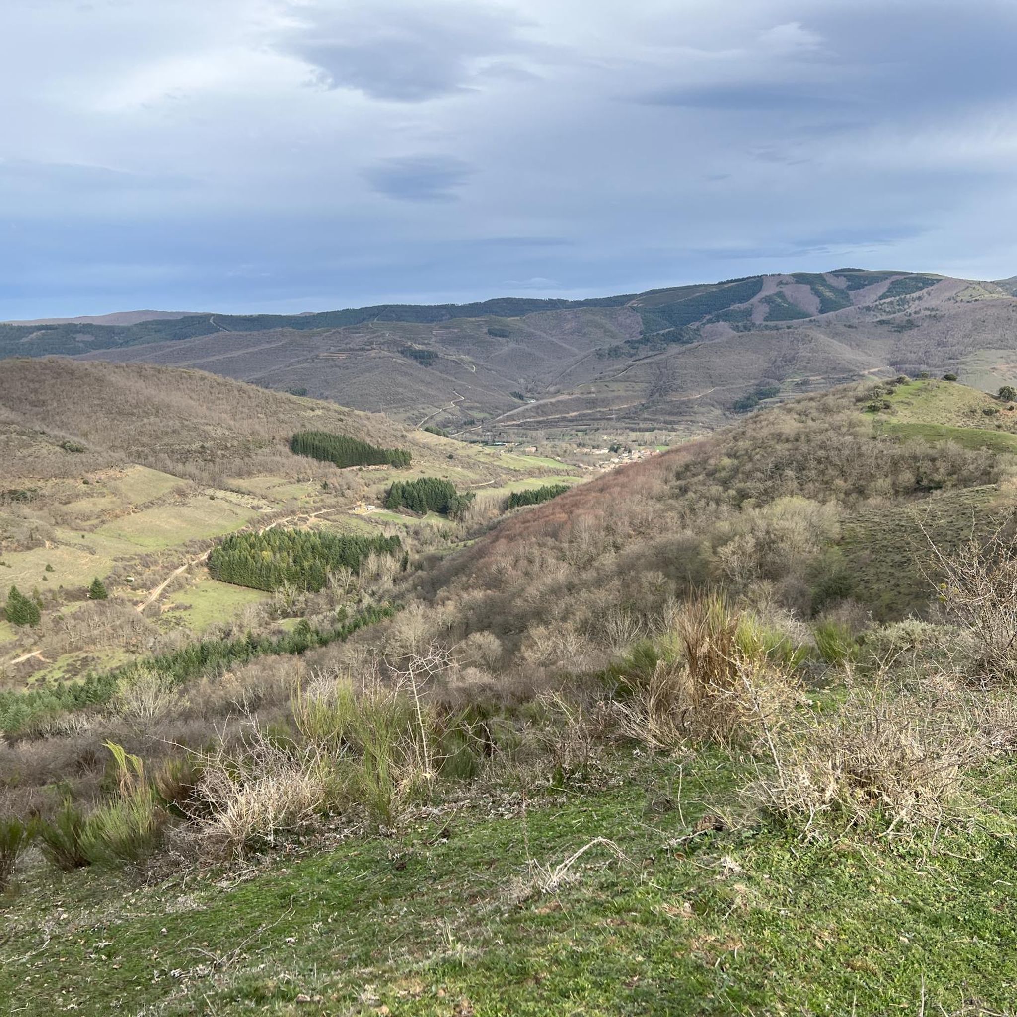
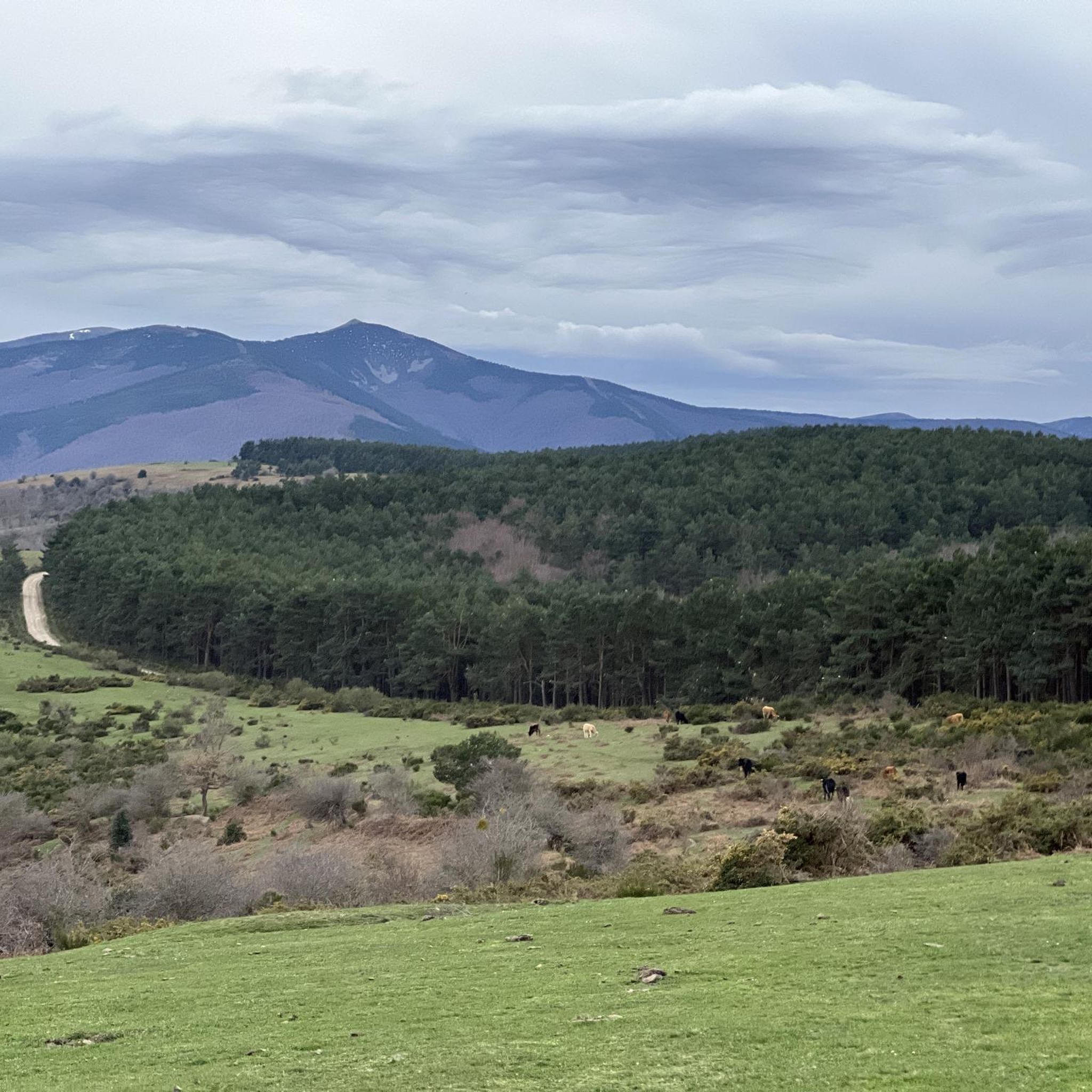
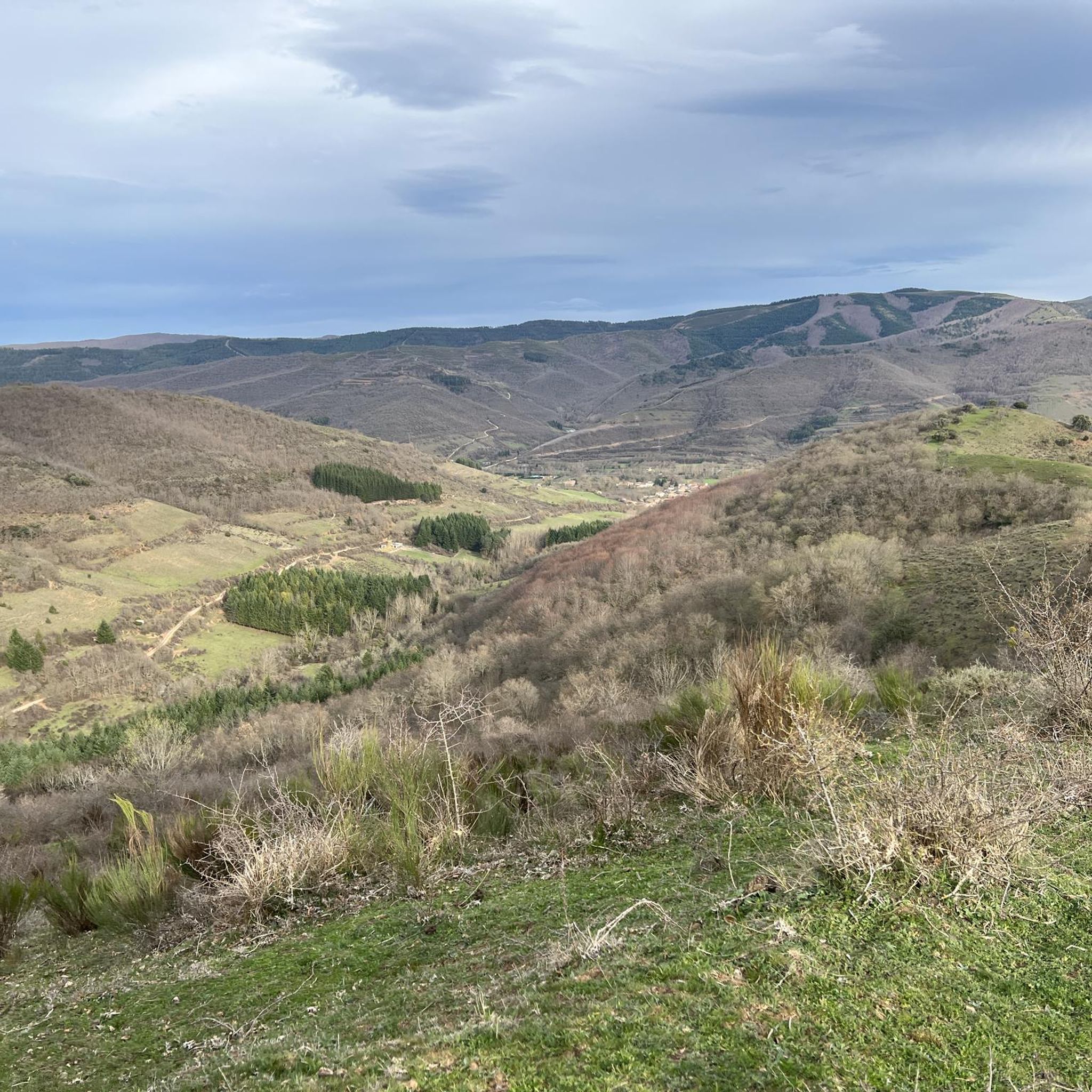
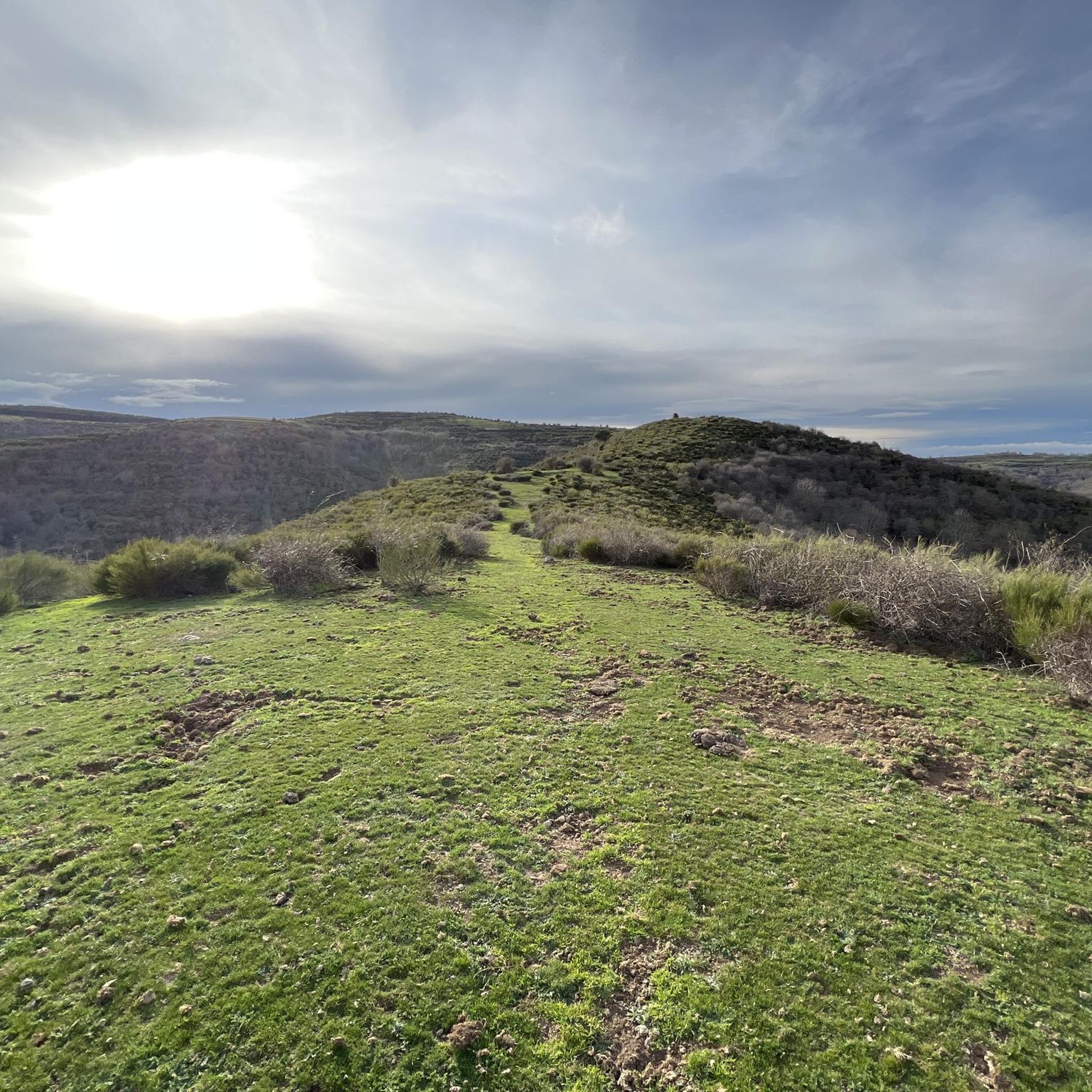
Road cycling around Ojacastro offers diverse terrain in the Oja Valley, nestled at the northern border of the Demanda Mountains. This region, situated at an altitude of 729 meters, features a mix of challenging mountain roads and tranquil routes through verdant agricultural landscapes. Cyclists encounter rural scenery, including the Oja River and its greenway, providing varied gradients and scenic backdrops. The area's elevation changes and natural beauty make it suitable for different road cycling preferences.
Best road cycling routes around Ojacastro
- The most popular road cycling route is Alto de Pradilla – Cruz de la Demanda Pass loop from Ezcaray, a 46.4 miles (74.6 km) trail that takes 4 hours 18 minutes to complete. This difficult route features significant elevation gain through mountainous terrain.
- Another top favourite among local road cyclists is Alto de Pradilla – Plaza del Quiosco de Ezcaray loop from Ezcaray, a moderate 13.7 miles (22.1 km) path. This route offers a balanced ride through the scenic surroundings of Ezcaray.
- Local road cyclists also love the Plaza del Quiosco de Ezcaray – Bar Restaurant La Estación loop from Ezcaray, a 35.7 miles (57.4 km) trail leading through the Oja Valley, often completed in about 2 hours 38 minutes.
- Road cycling around Ojacastro is defined by the Oja Valley, the foothills of the Demanda Mountains, and agricultural landscapes. The network offers options for easy, moderate, and difficult routes, catering to various ability levels.
- The routes in Ojacastro are highly rated by the komoot community with an average score of 4.7 stars from more than 30 reviews. More than 1800 road cyclists have used komoot to explore Ojacastro's varied terrain.
Last updated: October 20, 2026
3.7
(6)
205
riders
74.3km
04:16
1,670m
1,670m
Hard road ride. Very good fitness required. Mostly well-paved surfaces and easy to ride.
2.4
(14)
71
riders
43.5km
02:11
630m
630m
Moderate road ride. Good fitness required. Some segments of this route may be unpaved and difficult to ride.

4.0
(2)
34
riders
50.4km
02:54
1,150m
1,150m
Hard road ride. Very good fitness required. Mostly well-paved surfaces and easy to ride.
24
riders
21.8km
01:09
430m
430m
Moderate road ride. Good fitness required. Mostly well-paved surfaces and easy to ride.
31
riders
79.9km
03:21
480m
480m
Moderate road ride. Good fitness required. Mostly well-paved surfaces and easy to ride.
Get access to more routes and recommendations from other explorers.
Already have an account?
Our route recommendations are based on thousands of hikes, rides, and runs completed by other people on komoot.
Start today with a free account
Your next adventure awaits.

Tips from the Community

hot very hot this pass
0
0

town in La Rioja, a step away from Haro and Casalarreina. good roads with little traffic
1
0

Fresneda de la Sierra Tirón is a small town in Burgos, located in the heart of the Sierra de la Demanda, very close to La Rioja. It is an attractive destination for hikers due to its mountainous surroundings and the proximity of places like Pozo Negro, a turquoise glacial lagoon in the shadow of Otero Peak. The town preserves historical remains and traditions, with the Church of the Assumption and hermitages as points of interest. From here, trails depart to peaks such as Otero, Cabeza Aguílez, and Torocuervo, ideal for enjoying panoramic views and beech and oak forests.
1
0

The pilgrimage route repeatedly involves crossing valleys and rivers like the Rio Oja – as here at Santo Domingo de la Calzada. The bridges are sometimes relatively modern, sometimes medieval, and sometimes even older.
1
0

It crosses the Oja River, connecting different parts of the city. Built in the 12th century by Saint Dominic de la Calzada to facilitate the passage of pilgrims on the Camino de Santiago. The stone bridge features several arches, a fine example of medieval engineering.
2
0
The Cathedral of Santo Domingo de la Calzada, also known as the Cathedral of El Salvador, is an impressive monument located in the town of Santo Domingo de la Calzada. The cathedral was built between the 12th and 13th centuries, combining Romanesque and Gothic styles. A unique feature is its free-standing tower, separated from the main body of the cathedral.
8
0

The place impresses not only with the cathedral and the bell tower, but also with its historic old town
2
0

The perfect stop to replenish your energy after a bike ride (or walking, or skiing...) around Ezcaray
0
0
Frequently Asked Questions
What kind of terrain can I expect on road cycling routes around Ojacastro?
Road cycling around Ojacastro offers a diverse mix of terrain. You'll find challenging mountain roads in the foothills of the Demanda Mountains, as well as more tranquil routes through the verdant agricultural landscapes of the Oja Valley. The region is situated at an altitude of 729 meters, providing varied gradients and scenic backdrops for your rides.
Are there road cycling routes suitable for beginners in Ojacastro?
Yes, Ojacastro offers routes for various ability levels, including easy options. While many routes feature elevation changes, there are 8 easy routes available. For a moderate ride through scenic surroundings, consider the Alto de Pradilla – Plaza del Quiosco de Ezcaray loop from Ezcaray, which is 13.7 miles (22.1 km) long.
What are some challenging road cycling routes in the Ojacastro area?
For experienced cyclists seeking a challenge, Ojacastro has 16 difficult routes. A notable option is the Alto de Pradilla – Cruz de la Demanda Pass loop from Ezcaray. This route spans 46.4 miles (74.6 km) and features significant elevation gain through mountainous terrain, typically taking around 4 hours 18 minutes to complete.
Are there any circular road cycling routes around Ojacastro?
Yes, many of the road cycling routes around Ojacastro are designed as loops. For example, the Plaza del Quiosco de Ezcaray – Bar Restaurant La Estación loop from Ezcaray is a 35.7 miles (57.4 km) circular trail through the Oja Valley. Another option is the Alto de Pradilla – Plaza del Quiosco de Ezcaray loop from Ezcaray, a moderate 13.7 miles (22.1 km) loop.
What cultural or natural attractions can I see along road cycling routes in Ojacastro?
The region offers several points of interest. You can encounter natural features like the Arboleda del Sur – Horse Chestnut Trees of Ezcaray or the Mostajo of the Cárdenas River. Culturally, the nearby Monastery of San Millán de Yuso and Suso, and the Cathedral of Santo Domingo de la Calzada are significant sites. Ojacastro itself features a 16th-century parish church of San Julián and Santa Basilisa.
Is Ojacastro a good destination for family-friendly road cycling?
While many routes involve elevation, the presence of the Oja Greenway suggests options for more relaxed, family-friendly rides with gentler gradients. The area's rural scenery and charming villages also make it pleasant for families to explore by bike. Look for routes described as 'easy' or those that specifically mention greenways.
What is the best time of year for road cycling in Ojacastro?
The warmer months are generally ideal for road cycling in Ojacastro. During this time, the roads leading to higher elevations, such as those near the Valdezcaray ski resort, become excellent for cycling. The verdant agricultural landscapes are also at their most beautiful, offering pleasant conditions for rides through the Oja Valley.
Are there places to eat or stay that are cycling-friendly in Ojacastro?
Yes, the area around Ojacastro is increasingly recognizing cycling tourism. You can find cycling-friendly accommodations that may offer services like secure bike storage or repair facilities. The charming town of Ezcaray, just minutes from Ojacastro, also provides various options for cafes, pubs, and restaurants to refuel after your rides.
How do other road cyclists rate the routes in Ojacastro?
The road cycling routes in Ojacastro are highly regarded by the komoot community, with an average score of 4.7 stars from over 30 reviews. More than 1800 road cyclists have used komoot to explore the varied terrain, often praising the diverse landscapes and well-maintained paths.
Where can I find parking for road cycling routes in Ojacastro?
While specific parking locations aren't detailed, Ojacastro and nearby Ezcaray are cycling-friendly areas. It's common to find parking in or near the main villages, especially close to trailheads or town centers, from where many routes begin. Look for designated parking areas in Ezcaray or Ojacastro before starting your ride.
Can I reach Ojacastro by public transport with my bike?
Information on specific public transport options for bikes to Ojacastro is not readily available. However, in Spain, regional buses often have limited space for bikes, sometimes requiring prior booking or specific times. It's advisable to check with local bus operators for their bike policies and schedules if you plan to use public transport.
Are there any routes that follow the Oja River or its greenway?
Yes, Ojacastro is located directly within the Oja Valley, and routes often follow the course of the Oja River. The 'Vía Verde del Oja' (Oja Greenway) is a disused railway line converted into a path, offering gentle gradients through attractive landscapes. The Bar Restaurant La Estación – Greenway of the Oja River loop from Ezcaray is a moderate 46.7 miles (75.2 km) route that incorporates the greenway.
Most popular attractions around Ojacastro

Get inspired with the komoot mobile app


Explore more
Browse the best Road cycling routes in other regions.
