The best road cycling routes around Breitingen
4.5
(275)
2,348
riders
256
rides
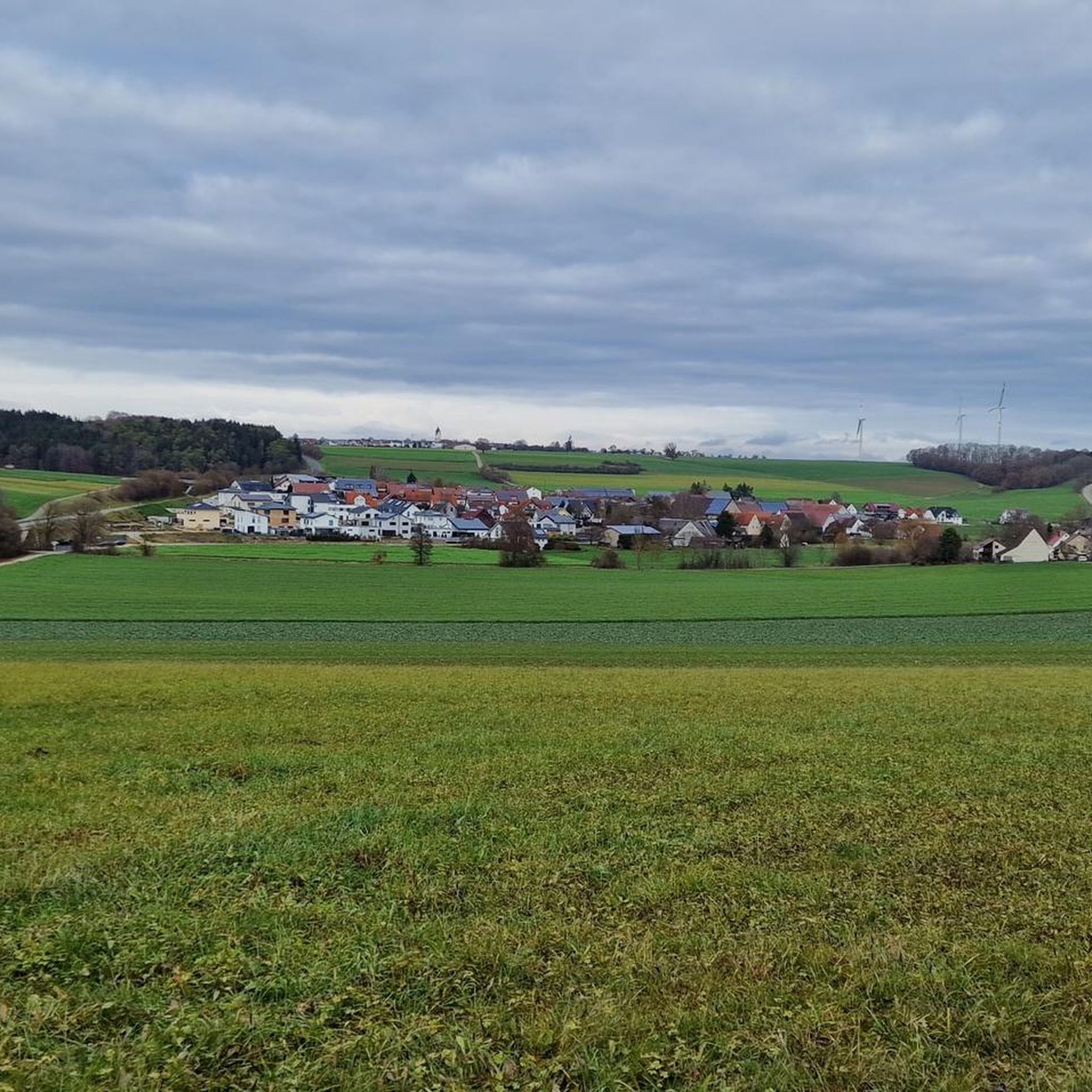
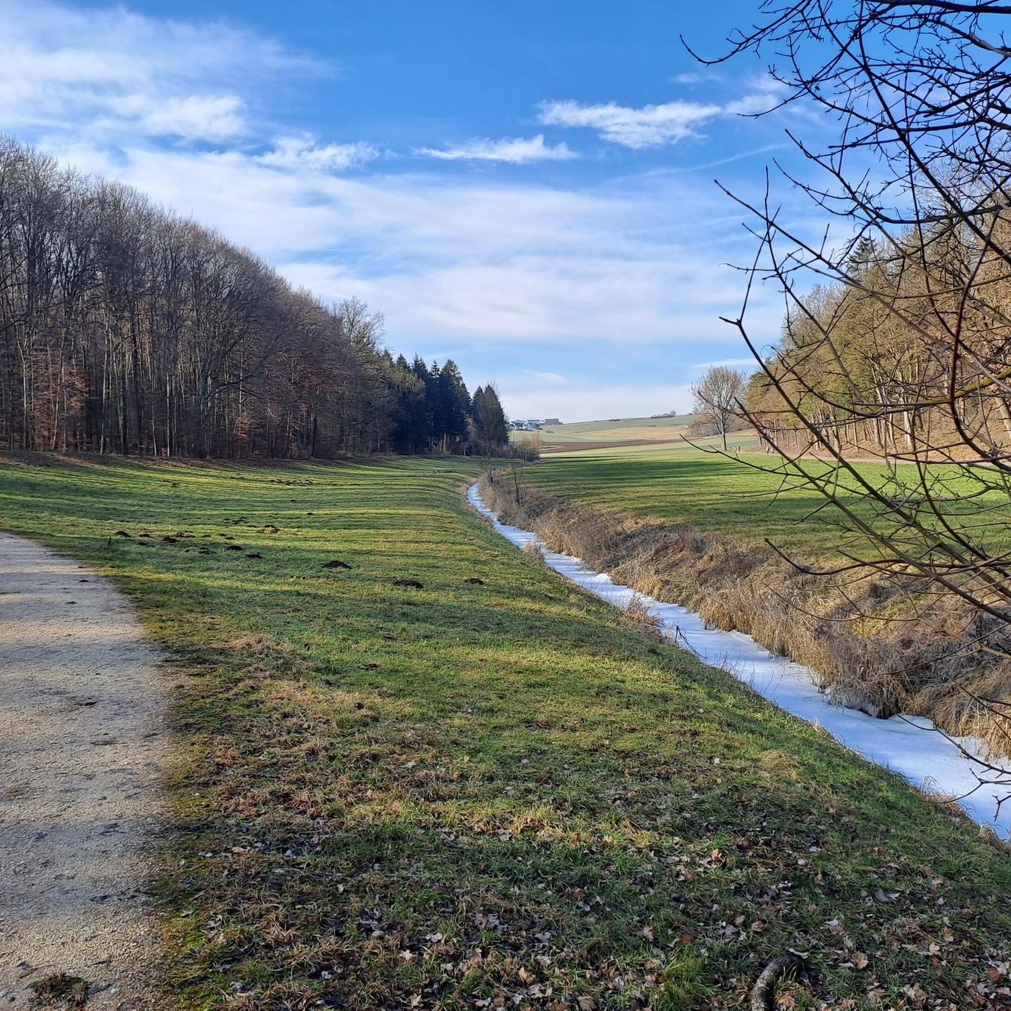
Road cycling routes around Breitingen traverse the Lonetal valley, a landscape shaped by the ancient Lone river and characterized by Jurassic rock formations. The terrain features a mix of meadows, forests, and the river itself, which can be dry in sections. While the region offers diverse cycling opportunities, some routes within the valley may include unpaved sections. The broader network of regional cycle paths provides varied terrain for road cyclists.
Best road cycling routes around Breitingen
- The most popular road…
Last updated: June 28, 2026
4.3
(9)
84
riders
49.6km
02:13
320m
320m
Moderate road ride. Good fitness required. Some segments of this route may be unpaved and difficult to ride.
3.7
(7)
31
riders
44.8km
01:59
320m
320m
Moderate road ride. Good fitness required. Mostly well-paved surfaces and easy to ride.

Sign up for free
19
riders
25.9km
01:15
260m
260m
Easy road ride. Great for any fitness level. Mostly well-paved surfaces and easy to ride.
5.0
(2)
19
riders
38.6km
01:46
390m
390m
Moderate road ride. Good fitness required. Mostly well-paved surfaces and easy to ride.
15
riders
64.3km
03:09
630m
630m
Moderate road ride. Good fitness required. Some segments of this route may be unpaved and difficult to ride.
Get access to more routes and recommendations from other explorers.
Sign up for free
Already have an account?
Our route recommendations are based on thousands of hikes, rides, and runs completed by other people on komoot.
Start today with a free account
Your next adventure awaits.
Login or Signup
Tips from the Community

Quite dark here, turn on the light, otherwise you'll overlook obstacles during the day!
0
0

Here there is, in addition to good beer and sausage salad, also a CHARGING STATION for bicycles (6 Schuko)
0
0


As usual near the city, it's a bit crowded, especially on weekends. But it's nice here.
0
0

Really well paved, we encountered lots of (very fast!!) cars coming towards us towards the end of the working day, so we had to be careful!
0
0


Great view of the Danube and Ulm
0
0
Frequently Asked Questions
How many road cycling routes are available around Breitingen?
There are over 240 road cycling routes around Breitingen, offering a wide range of options for different skill levels. You'll find routes categorized as easy, moderate, and difficult to suit your preference.
What is the typical terrain like for road cycling in the Breitingen area?
The terrain around Breitingen is primarily defined by the Lonetal valley, featuring a mix of meadows, forests, and the meandering Lone river. While many sections are well-paved, some routes, particularly within the Lonetal valley itself, may include unpaved forest paths. The broader network of regional cycle paths often provides more consistent asphalt surfaces suitable for road bikes.
Are there road cycling routes suitable for beginners or families in Breitingen?
Yes, Breitingen offers several easy road cycling routes perfect for beginners or families. For example, the Eiselauer Weg – Ascent to Witthau loop from Holzkirch is an easy 25.9 km route with moderate elevation, providing a pleasant ride through the landscape.
What kind of elevation can I expect on road cycling routes near Breitingen?
Elevation varies significantly across routes. Easy routes might have around 260 meters of ascent, while moderate routes can feature 300-400 meters of climbing. For a more challenging experience, routes like the Schonderhöhe Climb loop from Westerstetten offer over 730 meters of elevation gain, providing a good workout for experienced riders.
When is the best time of year to go road cycling in Breitingen?
The spring, summer, and early autumn months are generally the best for road cycling in Breitingen. During these seasons, the weather is typically mild, and the natural beauty of the Lonetal valley, with its meadows and forests, is at its peak. Always check local weather forecasts before heading out.
What natural landmarks or attractions can I see while road cycling in the Lonetal valley?
The Lonetal valley is rich in natural wonders. You can encounter impressive Jurassic rock formations, remnants of an ancient coral reef. Notable natural attractions include the Fohlenhaus Caves, a unique sponge reef formation, and the Lonetopf (Source of the Lone River) in Urspring. Many routes also pass by the Lone Lake Adventure Playground.
Are there any historical sites or cultural points of interest along the road cycling routes?
Yes, the Lonetal valley is renowned for its prehistoric significance. You can explore sites like the Stone Age Human Sculpture at Lonesee. The region is also home to UNESCO World Heritage Ice Age caves, such as Bocksteinhöhle and Vogelherdhöhle, which are significant archaeological discoveries, though some may require a short detour from main cycling paths.
What do other cyclists appreciate about road cycling in Breitingen?
The road cycling routes around Breitingen are highly rated by the komoot community, with an average score of 4.6 stars from over 200 reviews. Cyclists often praise the diverse terrain, the scenic beauty of the Lonetal valley, and the variety of routes available, from easy loops to more challenging climbs.
Are there circular road cycling routes around Breitingen?
Yes, many of the road cycling routes around Breitingen are designed as loops, allowing you to start and end at the same point. Examples include the View of the Danube River – Eiselauer Weg loop from Westerstetten and the Nau Canal in Langenau – Martinskirche Langenau loop from Westerstetten, offering convenient circular tours.
Where can I find parking for road cycling routes in Breitingen?
Parking is generally available in and around Breitingen, particularly at the starting points of popular routes or in nearby towns like Westerstetten and Holzkirch, which serve as common access points for many tours. Look for designated parking areas or public parking lots in these locations.
Can I reach the road cycling routes around Breitingen using public transport?
While Breitingen itself is a smaller community, the broader region is connected by public transport. You may be able to reach nearby towns that serve as starting points for routes via regional bus services or train connections, though direct access to all trailheads might require some planning. It's advisable to check local public transport schedules for specific connections.
Are there cafes or places to stop for refreshments along the road cycling routes?
Yes, many road cycling routes around Breitingen pass through or near villages and towns where you can find cafes, bakeries, or traditional German Gasthäuser (inns) for refreshments. Planning your route with potential stops in mind will enhance your cycling experience.
Are there road cycling routes that avoid heavy car traffic?
While it's challenging to find entirely car-free road cycling routes, many paths in the Lonetal valley and the broader regional network utilize dedicated cycle paths or quieter country roads. The Cycle path through the Lone Valley is a good example, though some sections might include unpaved surfaces.
Most popular attractions around Breitingen

Get inspired with the komoot mobile app


Explore more
Browse the best Road cycling routes in other regions.
