The best walks and hikes around Villarroya De La Sierra
4.8
(4)
36
hikers
13
hikes
Hiking around Villarroya De La Sierra offers diverse terrain within the Iberian System, at the foot of the Sierra de la Virgen. This region in Zaragoza, Aragon, Spain, features mountainous landscapes with prominent peaks and the contrasting fluvial environment of the Ribota river valley. Hikers can explore elevated points like Peña de Guzmán (1,352 meters) and Alto de Cabrera (1,433 meters), which provide panoramic views. The area's distinctive landscapes are ideal for outdoor activities.
Best hiking trails around Villarroya De…
Last updated: July 12, 2026
4.0
(1)
1
hikers
Easy hike. Great for any fitness level. Easily-accessible paths. Suitable for all skill levels.
5.0
(1)
3
hikers
14.1km
05:04
840m
840m
Hard hike. Very good fitness required. Mostly accessible paths. Sure-footedness required.

Sign up for free
5
hikers
5.44km
01:37
150m
160m
Easy hike. Great for any fitness level. Easily-accessible paths. Suitable for all skill levels.
7
hikers
8.48km
02:18
110m
110m
Moderate hike. Good fitness required. Easily-accessible paths. Suitable for all skill levels.
5.0
(1)
6
hikers
Moderate hike. Good fitness required. Easily-accessible paths. Suitable for all skill levels.
Get access to more routes and recommendations from other explorers.
Sign up for free
Already have an account?
Our route recommendations are based on thousands of hikes, rides, and runs completed by other people on komoot.
Start today with a free account
Your next adventure awaits.
Login or Signup
Popular around Villarroya De La Sierra
Tips from the Community

A charming place with a lot of history is the one that we find perched on top of the rock in the town of Illueca. It is the Castle - Palace of Pope Luna (who was born here) that stands out from afar. They make very interesting guided tours (prior reservation) based on the history of the palace itself and of Papa Luna. There is restaurant and hotel service
2
0
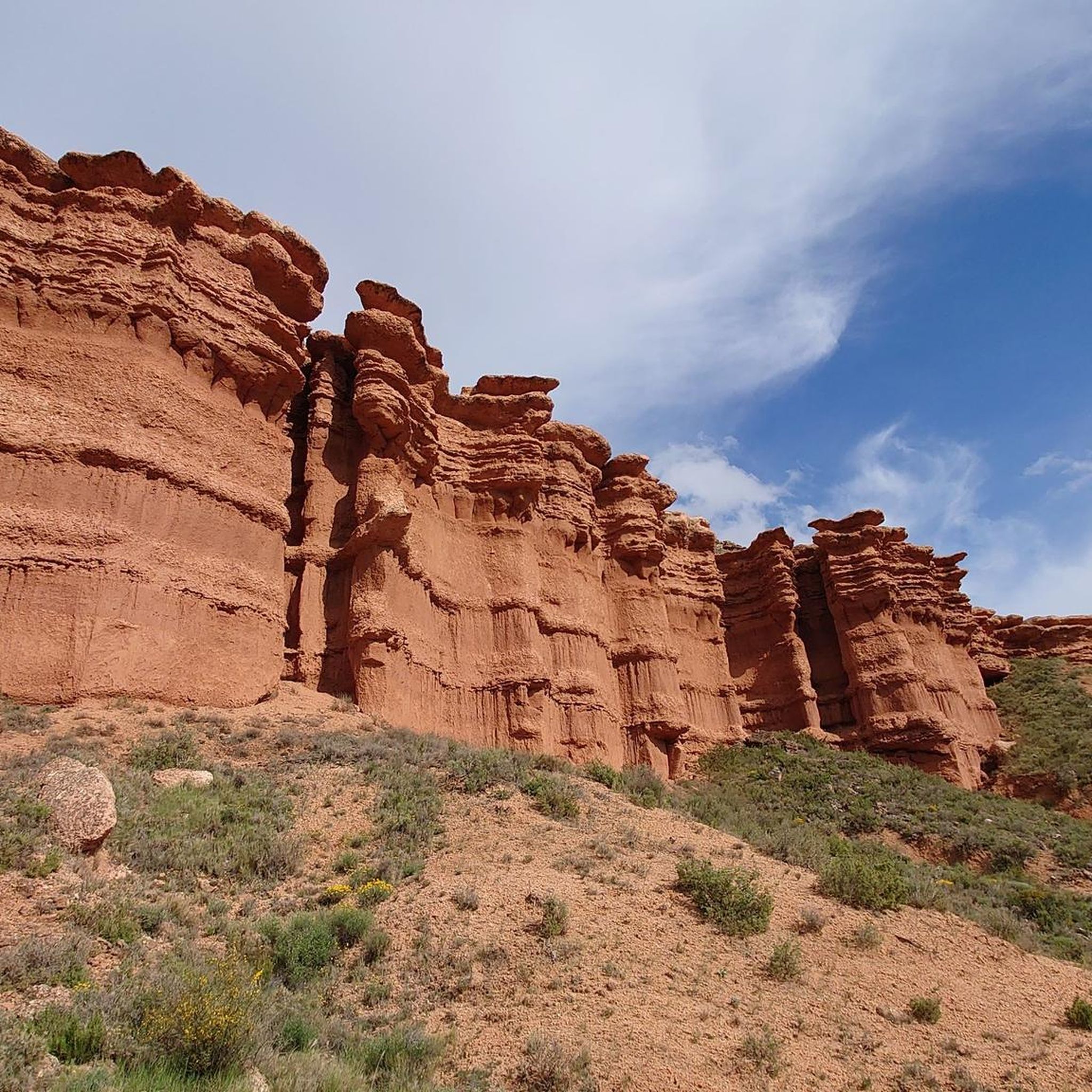
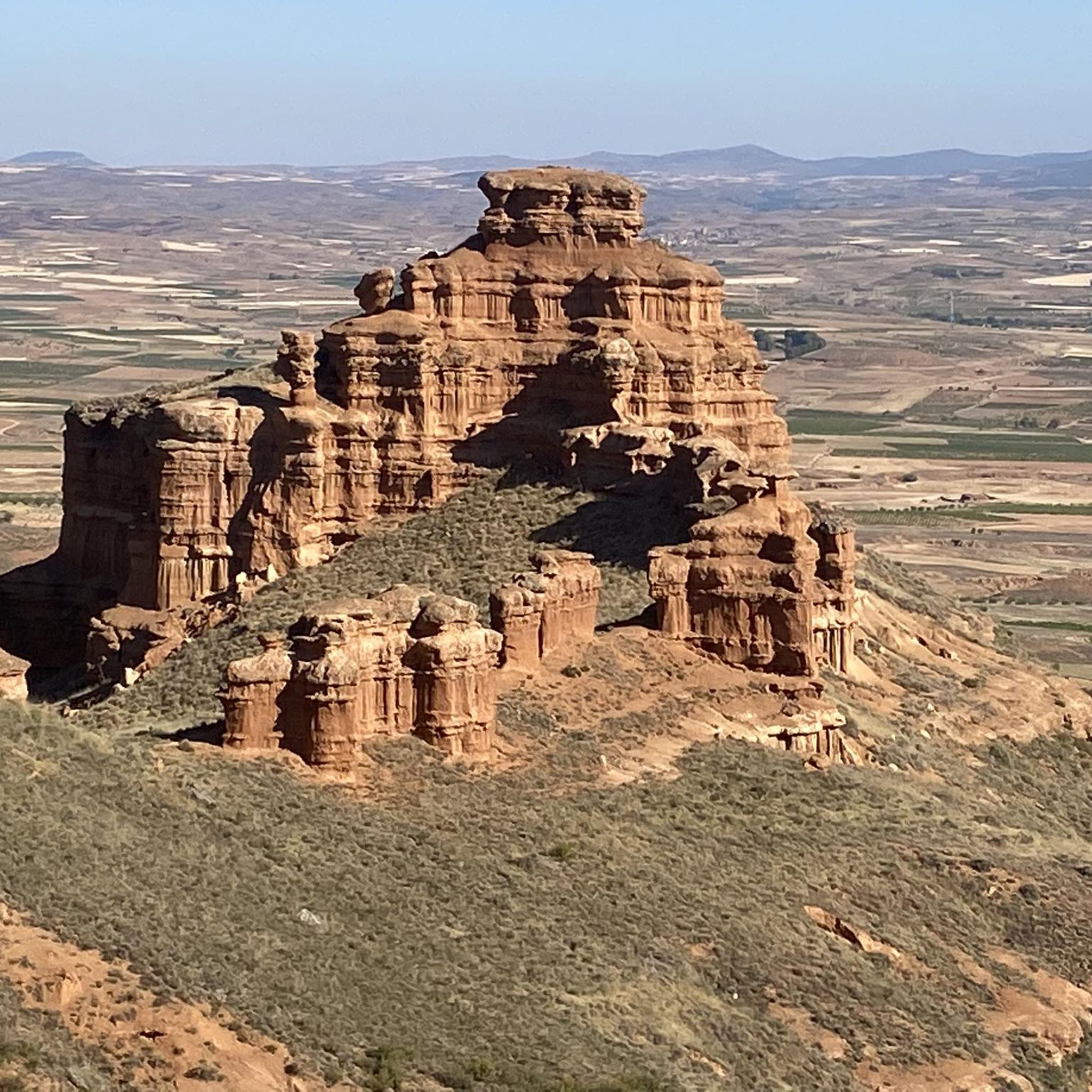
We are in the Sierra de Armantes, in a place shaped by wind and water. We would not say that we are in Zaragoza! What a beautiful print and what contrasts of colors, apart from some impressive views. It will remind us of the Far West, what's more, in Zaragoza they call it the Bilbilitano Far West.
4
1
Located at an altitude of 1,433 meters, we find the cairn at the top of Alto de Cabrera, with a panoramic view of the Sierra de la Virgen.
2
0
At 1,412 meters above sea level is the rocky peak of Peña del Café. 1 km away is what separates us from Peña Guzmán, both located in the Sierra de la Virgen.
1
0
Located at an altitude of 1,352 meters, we are in Peña de Guzmán with magnificent views between Mingoaranda and Peña del Café, all located in the Sierra de la Virgen.
1
0
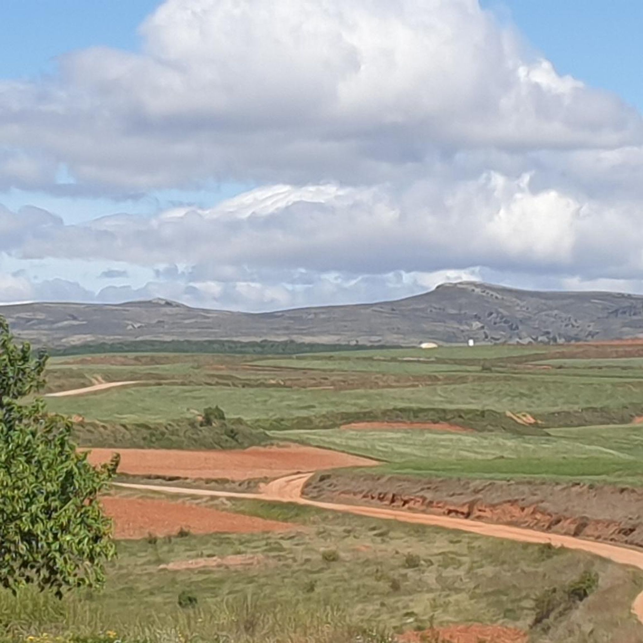
Beautiful image that the narrow river Manubles gives us when it is crossed near the Barranco de las Parras
2
0
Views of the set of reddish rock towers located under the Cerrado pass that we can see from the path next to the Manubles River
1
0
Good views from the San Blas viewpoint to see the Moorish town along the Manubles River that give us a beautiful picture. We can park the car at the El Mirador bar and easily access the viewpoint.
1
0
Frequently Asked Questions
What types of hiking trails can I find around Villarroya De La Sierra?
Villarroya De La Sierra offers a diverse range of hiking trails, from easy paths through local countryside to challenging ascents in the Sierra de la Virgen. The region features mountainous terrain, prominent peaks like Peña de Guzmán and Alto de Cabrera, and the contrasting fluvial environment of the Ribota river valley. You'll find options suitable for various fitness levels.
Are there any easy hiking routes suitable for beginners or families?
Yes, there are several easy routes. For instance, the Moros - La Cerrada - Peirón de San Roque - Moros — circular by the SL-Z 22 is a 3.1-mile (4.9 km) trail that leads through the local countryside. Another easy option is The Castles – Cruz de Armantes loop from Los Llanos de Muñoz, which is 6.1 km long.
What are the more challenging hiking options in the area?
For those seeking a challenge, the Papa Luna Route is a difficult 8.8-mile (14.1 km) trail with significant elevation gain within the Sierra de la Virgen, taking approximately 5 hours to complete. This route offers a demanding experience with rewarding views.
What kind of scenic views can I expect on the trails?
Hikers can expect breathtaking panoramic vistas from elevated points within the Sierra de la Virgen. Peaks like Peña de Guzmán (1,352 meters) and Alto de Cabrera (1,433 meters) offer extensive views. The region is also known for its distinctive and evocative landscapes, sometimes likened to the 'Bilbilitano Far West', and the picturesque San Blas Viewpoint overlooking the Manubles River.
Are there any circular hiking routes available?
Yes, several circular routes are available. A popular choice is the Moros - La Cerrada - Peirón de San Roque - Moros — circular by the SL-Z 22. Another option is the Virgen de la Sierra – Collado de la Cruz de Piedra loop from Viñas Bajas, a moderate 8.9-mile (14.4 km) path with varied scenery.
What do other hikers say about the trails in Villarroya De La Sierra?
The trails in Villarroya De La Sierra are highly rated by the komoot community, with an average score of 4.7 stars from around 3 reviews. Hikers often praise the varied terrain and the opportunities to explore both mountainous landscapes and river valleys.
What are some notable natural attractions or landmarks to see while hiking?
The region boasts several natural attractions. You can explore the unique Far West Bilbilitano Rock Formations, ascend to Cruz de Armantes, or reach Pico Cabrera (1,433 m) – Sierra de la Virgen for expansive views. The Castillejos Viewpoint (Sierra de Armantes) also offers great scenic spots.
Is Villarroya De La Sierra a good destination for hiking with dogs?
While specific regulations for dogs on trails are not detailed, Aragon generally welcomes dogs on trails, often requiring them to be on a leash. Given the natural and varied terrain, many routes could be suitable for well-behaved dogs. Always ensure your dog is under control and respect local signage regarding pet access.
What is the best time of year to go hiking in Villarroya De La Sierra?
The Iberian System, where Villarroya De La Sierra is located, offers pleasant hiking conditions during spring and autumn when temperatures are milder. Summer can be hot, especially at lower elevations, while winter may bring colder temperatures and potentially snow at higher altitudes in the Sierra de la Virgen. For the most comfortable experience, consider hiking in the shoulder seasons.
Are there any trails that offer significant elevation gain for a good workout?
Absolutely. The Papa Luna Route is specifically noted for its significant elevation gain, making it an excellent choice for hikers looking for a strenuous workout. The mountainous terrain of the Sierra de la Virgen generally provides ample opportunities for ascents.
How many hiking routes are available in total around Villarroya De La Sierra?
There are 8 hiking routes available around Villarroya De La Sierra, catering to various difficulty levels from easy to difficult.
Most popular routes around Villarroya De La Sierra
Most popular attractions around Villarroya De La Sierra

Get inspired with the komoot mobile app


Explore more
Browse the best Hikes in other regions.
