The best running trails around Brand
4.4
(531)
3,797
runners
416
runs
Jogging routes around Brand are set within the Brandnertal valley, characterized by majestic Alpine scenery, lush forests, and the Rätikon mountains. The region features varied terrain, from gentle paths along the Alvierbach stream to more challenging ascents through meadows and woodlands. This area provides a diverse network of trails suitable for various running preferences.
Best jogging routes around Brand
- The most popular jogging route is Running loop from Wathlingen-Nienhagen, a 3.3 miles (5.3 km) trail that takes 33 minutes…
Last updated: June 26, 2026
5.0
(1)
6
runners
5.25km
00:33
10m
10m
Moderate run. Good fitness required. Mostly paved surfaces. Suitable for all skill levels.
22
runners
4.94km
00:31
0m
0m
Easy run. Great for any fitness level. Mostly paved surfaces. Suitable for all skill levels.

Sign up for free
3.1
(88)
10
runners
4.93km
00:31
10m
10m
Easy run. Great for any fitness level. Mostly paved surfaces. Suitable for all skill levels.
12
runners
9.24km
00:58
20m
20m
Moderate run. Good fitness required. Mostly paved surfaces. Suitable for all skill levels.
5
runners
4.77km
00:29
0m
0m
Easy run. Great for any fitness level. Mostly paved surfaces. Suitable for all skill levels.
Get access to more routes and recommendations from other explorers.
Sign up for free
Already have an account?
Our route recommendations are based on thousands of hikes, rides, and runs completed by other people on komoot.
Start today with a free account
Your next adventure awaits.
Login or Signup
Tips from the Community

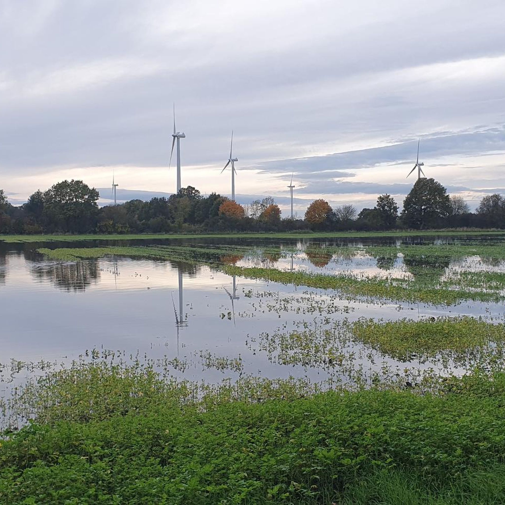
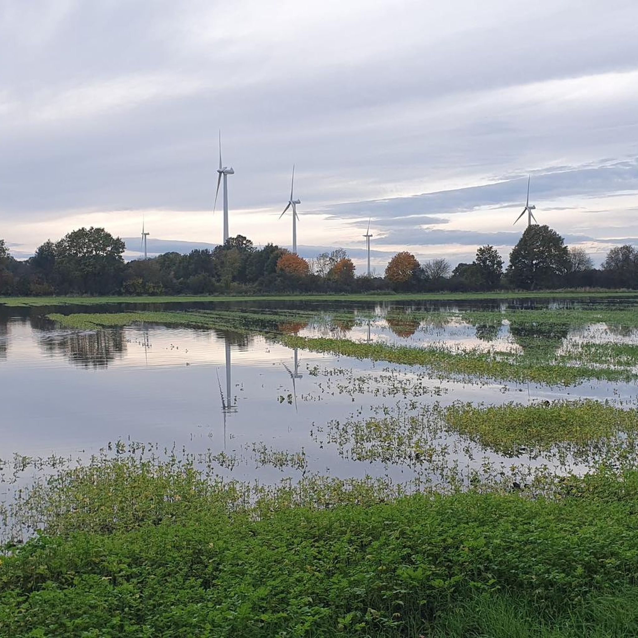
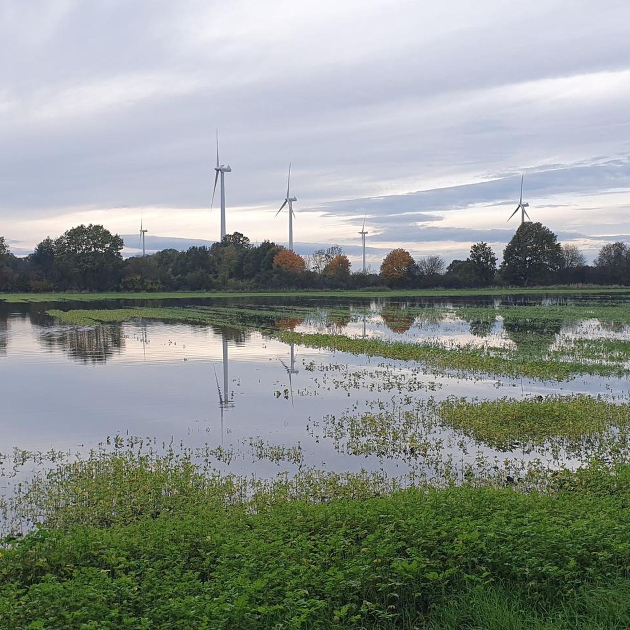
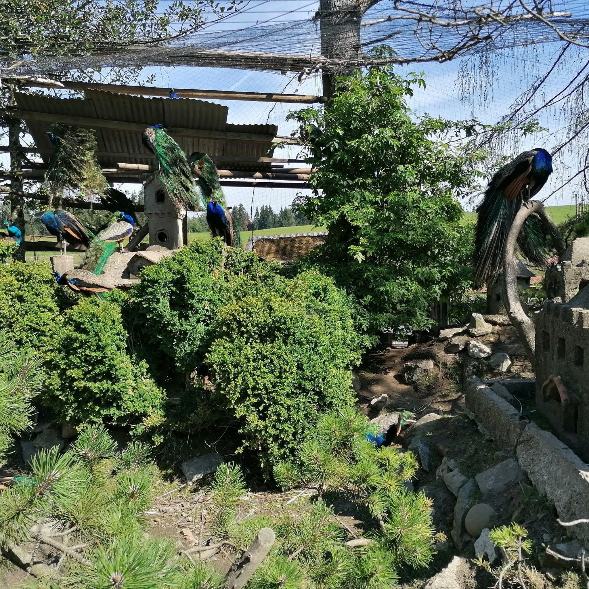
Even though this body of water is probably something artificially created (see 'Alte Thöse'), nature has reclaimed a lot here, so a short stop to admire is worthwhile. To stay in the forest between Wathlingen and Hänigsen, there isn't much else you can do, as @Watho96 correctly mentioned in his highlight [www.komoot.com/de-de/highlight/4791781?ref=whd] about the supposedly most direct path past the spoil heap.
0
0
In any case, the better way than the L311, unless you have a racing bike under you. ...although the L311 isn't fun with it at the moment either...
0
0

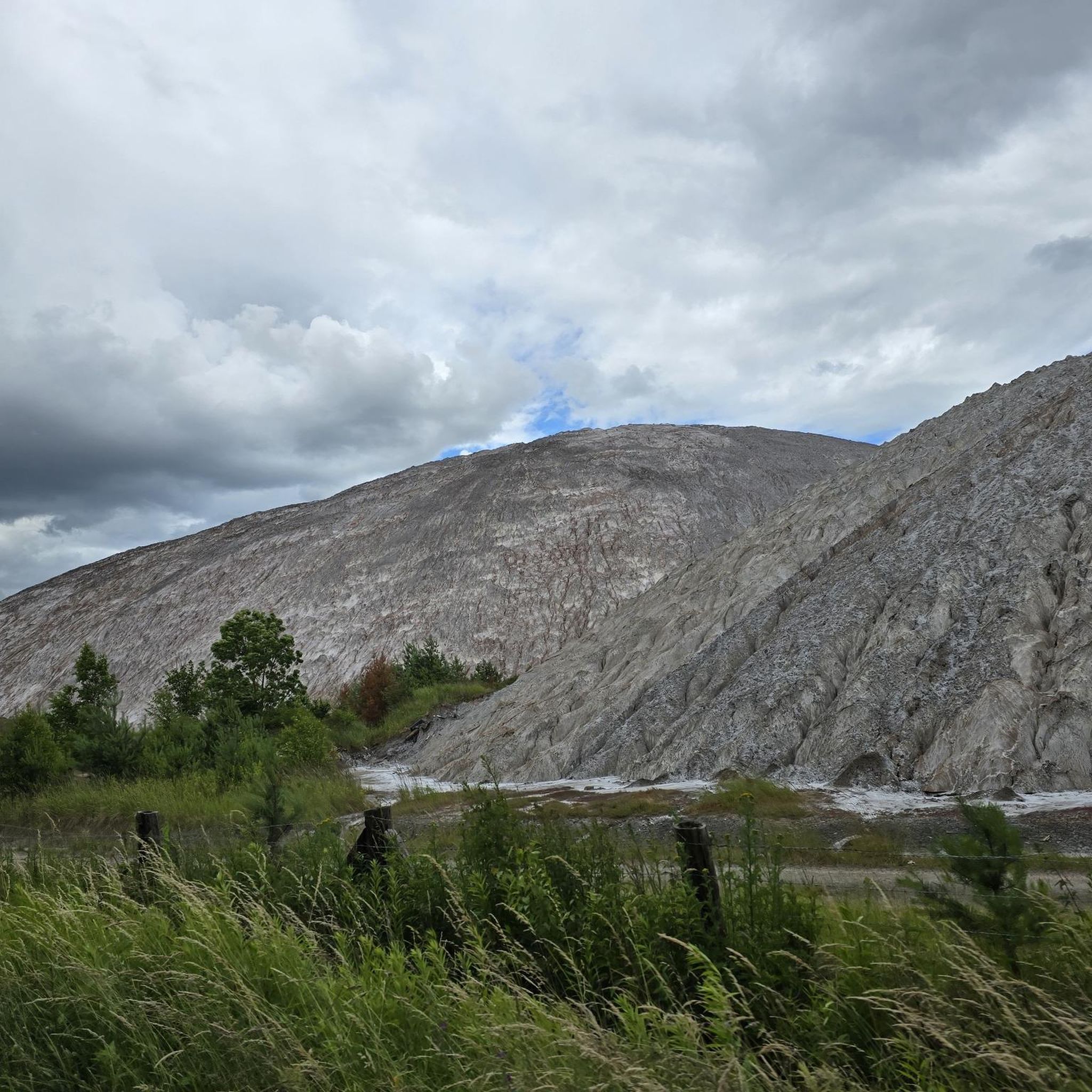
The Riedel potash plant is a former potash mine near Hänigsen. It was the world's deepest mine for potash salt. The Riedel shaft was sunk between 1905 and 1908 (770 m). Funding began in 1909. In 1907/08 a mine siding railway was built from Burgdorf via Sorgensen and Weferlingsen to Hänigsen. In 1928 it was temporarily closed. In the years 1937 to 1945 the mine was part of the army ammunition production facility and underground dump, the Hänigsen Army Ammunition Facility. On June 18, 1946, the explosion accident in Hänigsen occurred here. In 1949 the shaft tube received new installations and potash production was resumed. The mine remained in operation until 1997. The production of potash was stopped in 1996 and that of rock salt in 1997. The bottom is at a depth of 1525 meters. Plans for an underground toxic waste dump were scrapped. The 650 and 750 m level probably still contains old weapons waste (detonators, grenades, combat agent Excelsior (10-chloro-9,10-dihydroacridarsin, Blaukreuz) and its precursor merodanoic acid). The rainwater from the site and the heap seepage water (around 10,000 m³/year) is led into the Thöse. The flooding of the mine is scheduled to be completed in 2028. The BUND criticizes this measure. The miners' association, founded in 1908, still exists today.
1
0
Frequently Asked Questions
How many running routes are available in Brand?
Brand offers an extensive network with over 400 running routes. These trails cater to various preferences, ranging from easy strolls to challenging mountain runs, all set within the stunning Alpine scenery of the Brandnertal valley.
Are there running routes suitable for beginners or families in Brand?
Yes, Brand provides numerous options for all fitness levels. There are 72 easy routes, perfect for beginners or a relaxed family run. The region's nature trails, such as the 4km Natursprünge-trail, also offer interactive and educational experiences amidst nature, making them great for families.
What kind of terrain can I expect on the running trails in Brand?
The running trails in Brand offer a diverse range of terrain. You can find everything from gentle paths along the Alvierbach stream and paved surfaces to more demanding trail running through lush forests, over meadows, and rocky ascents in the Rätikon mountains. This variety allows runners to choose routes that match their preferred intensity and training goals.
Are there any scenic viewpoints or natural attractions along the running routes in Brand?
Absolutely! Many trails offer panoramic views of the Brandnertal, the Schesaplana, and the surrounding Rätikon peaks. You can also run past the impressive Kesselfall waterfall, or explore the area around the beautiful Lünersee Lake. Additionally, you might encounter highlights like the Pond in Brand Nature Reserve or The Four Chestnut Trees.
Can I access running trails in Brand using public transport or cable cars?
Yes, public transport and cable cars often provide convenient access to higher elevations, allowing you to start your runs at various points. This makes it easier to enjoy descents or high-altitude routes without needing to run the entire ascent, enhancing the accessibility of many trails.
What do other runners enjoy most about the trails in Brand?
The running routes in Brand are highly rated by the komoot community, with an average score of 4.5 stars from nearly 400 reviews. Runners frequently praise the majestic Alpine scenery, the well-signposted trail network, and the diverse terrain that offers both challenging ascents and serene forest paths.
Are there any circular running routes in Brand?
Yes, Brand features many circular running routes. For example, the Running loop from Nienhagen is an easy 4.3 km option, while the Brand Forest – Alte Thöse Pond loop from Wathlingen offers a moderate 9.3 km experience through varied landscapes.
Are dogs allowed on the running trails in Brand?
While the region is generally dog-friendly, it's always recommended to check specific trail regulations or local signage regarding dogs, especially in nature reserves or protected areas. Many trails through forests and meadows are suitable for running with dogs, provided they are kept on a leash.
What is the best time of year for running in Brand?
Brand, situated over 1,000 meters above sea level, offers excellent running conditions from late spring through early autumn. During these months, the weather is generally pleasant, and the trails are clear of snow, allowing full access to the diverse network. Winter running is also possible on cleared paths, but many higher-altitude trails will be snow-covered.
Are there running routes that pass by water features like streams or lakes?
Yes, the region is rich in water features. The Alvierbach stream flows through the valley, originating from Lünersee, and routes like the 'Trail run through the Seetal' follow it, leading past the impressive Kesselfall waterfall. The stunning Lünersee Lake itself also has a trail around it, offering breathtaking views.
Where can I find parking near the running trails in Brand?
Brand offers various parking options, particularly near trailheads and village centers. Many popular starting points for running routes, including those with access to cable cars or specific attractions, typically have designated parking areas. It's advisable to check local signage for parking availability and any associated fees.
Can I find challenging trail running options in Brand?
Absolutely. For those seeking a challenge, Brand offers 37 difficult routes amidst the Rätikon mountains. These trails often feature significant elevation changes and varied terrain, including rocky ascents, providing an invigorating experience for advanced trail runners. The Schesaplana, the highest peak in the Rätikon range, offers challenging options for experienced runners.
Most popular routes around Brand
Most popular attractions around Brand

Get inspired with the komoot mobile app


Explore more
Browse the best Running Trails & Routes in other regions.
