The best walks and hikes around Gascueña De Bornova
4.7
(8)
46
hikers
7
hikes
Hiking around Gascueña De Bornova offers diverse landscapes within the Sierra Norte de Guadalajara, nestled in the Bornova river valley. The region features rugged mountainous terrain, including the Sierra del Alto Rey, and lush riverine environments with native vegetation. Oak forests, rockrose, and heather characterize the flora, while the Bornova river and its tributaries create fertile areas. The area provides varied panoramic views that change seasonally.
Best hiking trails around Gascueña De Bornova
- The most popular hiking route is Viewpoint…
Last updated: October 17, 2026
5.0
(1)
9
hikers
9.63km
02:38
150m
150m
Hike 6.0 miles (9.6 km) to the Bear Cave viewpoint from Prádena de Atienza, exploring diverse landscapes and traditional architecture.
4
hikers
16.4km
05:30
630m
640m
Hard hike. Very good fitness required. Mostly accessible paths. Sure-footedness required.

25.5km
07:18
550m
550m
Hard hike. Very good fitness required. Mostly accessible paths. Sure-footedness required.
4.3
(3)
16
hikers
Hard hike. Very good fitness required. Easily-accessible paths. Suitable for all skill levels.
4.0
(1)
4
hikers
8.97km
02:44
200m
200m
Moderate hike. Good fitness required. Mostly accessible paths. Sure-footedness required.
Get access to more routes and recommendations from other explorers.
Already have an account?
Our route recommendations are based on thousands of hikes, rides, and runs completed by other people on komoot.
Start today with a free account
Your next adventure awaits.



Tips from the Community

What to see 🧭 “El País de la Plata” Interpretation Center Interactive museum about local mining, open Saturdays and Sundays from 12:00 to 14:00. General admission approx. €2, free for residents and children under 14. ⛪ Santa Cecilia Parish Church 19th-century building constructed during the mining boom, with a single nave and a simple transept. 🏗️ Mining and Industrial Heritage More than 200 shafts/mines, such as Santa Catalina, Santa Teresa, Mala Noche, Fuerza, etc. Remains of ore-washing facilities like San Carlos, ruined industrial sites, and power plants.
4
0
A village in the Sierra Norte of Guadalajara, at an altitude of approximately 1,084 meters. Its origins are medieval, possibly predating the Bronze Age. The name derives from the Arabic Hisn al-Ancina (“castle of the holm oak”). In 1844, the discovery of silver triggered a “silver rush,” transforming Hiendelaencina into a major 19th-century mining district, with up to 200 mines and a population that reached 5,000. A parish church dedicated to Saint Cecilia was built between 1848 and 1851, financed with funds from the mining town.
4
0

On the Cañamares River
0
0

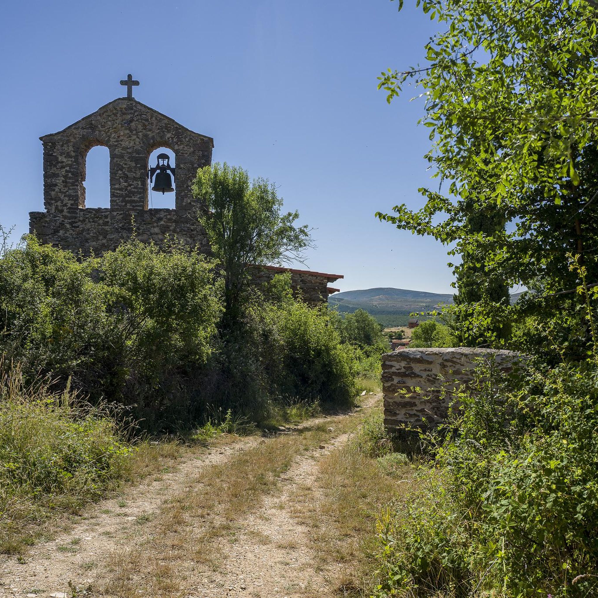
Beautiful and quiet town of Architecture between Negra and Dorada. With the famous Pera Galena River (Pelagallinas), with very cool waters in summer. You can start routes to La Junta de los Ríos with the Bornova, Climb the Alto Rey or head towards the Cueva del Oso. In any case you can enjoy Great Tranquility.
1
0
It is near the Climb to the High King. It is a Rope of Rocks that rises from the Pera Galena River (Pelagallinas) to the Summit.
1
0
It is a passing place between La Peña de Los Rollos and La Peña de Los Gavilanes on the climb to Alto Rey from El Collado de Mediodía.
1
0
It is located on the climb to Alto rey from El Collado del Mediodía.
1
0
The People Call the Peak of La Ermita 1,858 meters Alto Rey. But El Geodésico is located on another nearby and slightly lower peak 1,844 meters in altitude. The geodesic was actually knocked down by a storm and is one meter lower.
1
0
Frequently Asked Questions
How many hiking trails are available around Gascueña De Bornova?
There are 8 hiking trails around Gascueña De Bornova, offering a variety of experiences. These include 5 moderate routes and 3 more challenging options.
What kind of landscapes can I expect to see while hiking here?
The region offers diverse landscapes, from the rugged mountainous terrain of the Sierra del Alto Rey to lush riverine environments along the Bornova river. You'll encounter oak forests, rockrose, heather, and poplars, with panoramic views that change beautifully with the seasons.
Are there any circular hiking routes in the area?
Yes, there are several circular routes. One notable option is the Pico del Alto Rey — circular via the old path of Alto Rey from Bustares, a difficult 16.4 km path ascending to the Sierra del Alto Rey. Another is the Embalse de Pálmaces from Hiendelaencina — circular via the Camino del Cid, which is a longer 25.5 km trail through varied landscapes.
What historical sites or points of interest can I explore along the trails?
You can explore routes leading to the ruins of "La Constante," an ancient 19th-century silver transformation factory near the Bornova river. The area also features traditional "Arquitectura Dorada" or "Arquitectura Negra" villages. Nearby attractions include the Castle of Atienza and the village of Hiendelaencina, known for its historical significance.
What is the best season for hiking in Gascueña De Bornova?
Gascueña de Bornova offers beautiful landscapes throughout the year. Spring brings vibrant yellow piorno serrano flowers covering hillsides, while autumn showcases rich colors in the oak forests. The diverse scenery makes it an appealing destination in most seasons, though checking local weather is always recommended.
What kind of wildlife might I encounter on the trails?
The diverse flora and well-preserved natural environment are home to various wildlife. Hikers might spot birds, deer, wildcats, and even otters in the crystalline waters of the Bornova river and its tributaries.
Are there any trails with great viewpoints?
Yes, the region offers stunning panoramic views. "El Asomadero" is specifically mentioned as providing breathtaking views of the entire area. The Viewpoint to the Bear Cave from Prádena de Atienza route also offers specific views towards the Cueva del Oso.
Are there any long-distance paths that pass through the Gascueña De Bornova area?
Yes, the historical and tourist route known as the "Camino del Cid" includes a stage (Atienza-Hiendelaencina) that passes near Gascueña de Bornova, offering opportunities for longer treks.
What do other hikers say about the trails in Gascueña De Bornova?
The trails in Gascueña De Bornova are highly rated by the komoot community, with an average score of 4.7 stars from more than 5 reviews. Hikers often praise the varied terrain, from mountainous ascents to serene riverine paths, and the well-preserved natural environment.
Are there any specific natural features like rivers or forests to look out for?
Absolutely. The River Bornova runs through the municipal area, creating lush riverine landscapes. You'll also find extensive oak forests (robledal de roble melojo or rebollo), rockrose, heather, and unique geological formations, including natural Scots pine forests at higher elevations.
What are the difficulty levels of the hiking trails?
The trails around Gascueña De Bornova cater to different abilities. There are 5 moderate routes, such as the Hiendelaencina – Hiendelaencina Silver Mines loop from Hiendelaencina, and 3 more difficult options, including the challenging ascent to Alto Rey Peak (1,858 m).
Is Gascueña De Bornova suitable for family-friendly walks?
While specific family-friendly routes are not detailed, the region offers varied rural paths connecting towns with diverse landscapes of mountains, pastures, and riverbanks. These less crowded environments can be suitable for families looking for leisurely strolls, depending on the chosen path's length and elevation.
Most popular routes around Gascueña De Bornova
Most popular attractions around Gascueña De Bornova

Get inspired with the komoot mobile app


Explore more
Browse the best Hikes in other regions.
