The best cycling routes around Riofrío Del Llano
4.8
(6)
78
riders
11
rides
Touring cycling routes around Riofrío Del Llano are characterized by elevated terrain within the province of Guadalajara, Castile-La Mancha. The area is situated at an elevation of 1,018 meters (3,340 feet), offering varied gradients for cyclists. It integrates into historic routes like the Ruta de la Lana and features diverse natural landscapes, including oak forests, pine trees, and alpine meadows. Proximity to the Sierra Norte de Guadalajara Natural Park provides additional cycling opportunities through protected areas.
Best touring cycling routes…
Last updated: July 11, 2026
2
riders
Hard bike ride. Very good fitness required. Mostly paved surfaces. Suitable for all skill levels.
2
riders
Moderate bike ride. Good fitness required. Mostly paved surfaces. Suitable for all skill levels.

Sign up for free
1
riders
42.0km
02:52
480m
480m
Cycle the difficult 26.1-mile El Destierro - Camino del Cid Loop from Atienza, exploring historical sites and diverse Castilian landscapes.
Moderate bike ride. Good fitness required. Mostly paved surfaces. Suitable for all skill levels.
4.8
(6)
29
riders
108km
07:13
1,360m
1,360m
Hard bike ride. Very good fitness required. Mostly paved surfaces. Suitable for all skill levels.
Get access to more routes and recommendations from other explorers.
Sign up for free
Already have an account?
Our route recommendations are based on thousands of hikes, rides, and runs completed by other people on komoot.
Start today with a free account
Your next adventure awaits.
Login or Signup
Popular around Riofrío Del Llano


Tips from the Community

very nice and recommendable.
0
0

At the bar, very nice, they have an affordable daily menu
0
0

Nice area for hiking and mountain biking trails
0
0
Nice area for hiking and mountain biking trails
0
0
Good place to stop, get some water or go into the bar for a drink. Abundant tapas.
0
0
Fountain, shops and at least a couple of bars make Romnillos a good stop on the Camino del Cid
0
0

Frequently Asked Questions
How many touring cycling routes are available around Riofrío Del Llano?
There are 12 touring cycling routes around Riofrío Del Llano. These routes offer a variety of experiences, from moderate paths to more challenging climbs, catering to different skill levels.
What kind of terrain can I expect on touring cycling routes in Riofrío Del Llano?
The region features elevated terrain with varied gradients, including both challenging climbs and scenic routes. You'll encounter a mix of paved and unpaved surfaces, traversing oak forests, pine trees, and expansive alpine meadows. Some sections of the historic Ruta de la Lana, which passes through the area, can be quite steep, while others offer gentler gradients.
Are there any family-friendly touring cycling routes in Riofrío Del Llano?
While many routes in the area are rated as difficult due to significant elevation changes, there are 4 moderate routes that might be more suitable for families with some cycling experience. For example, the Imón y Riba de Santiuste desde Atienza — circular por las Salinas de Alto Alcolea offers a moderate circular journey.
What are some notable landmarks or attractions I can see along the cycling routes?
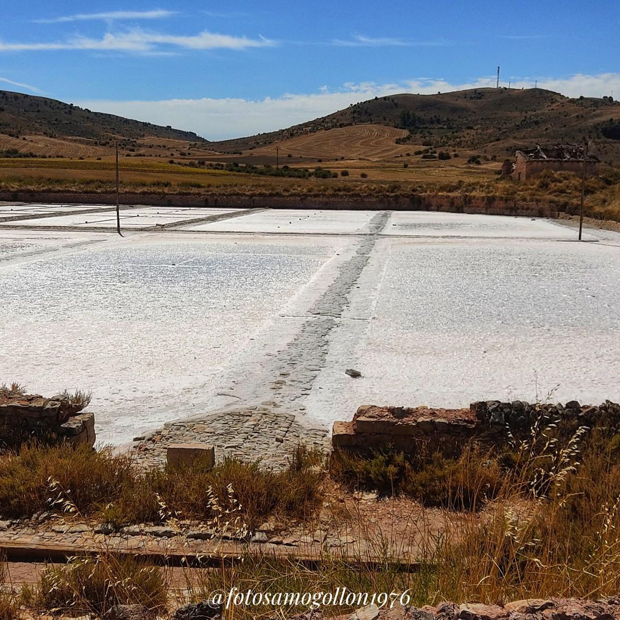
Cycling routes in the area often pass by significant historical and natural sites. You might encounter the historic town of Atienza, known for its monumental complex and the impressive Castle of Atienza. Other points of interest include the Salinas de Imón and various reservoirs like the Cañamares River Reservoir and Pálmaces Reservoir.
Are there any circular touring cycling routes available?
Yes, several routes are circular, offering convenient starting and ending points. Examples include the popular Hiendelaencina from Atienza — circular by the rural path Cañamares – Pradena, the Imón y Riba de Santiuste desde Atienza — circular por las Salinas de Alto Alcolea, and the Barcones from Atienza — circular through the Saladares of the Cuenca del Río Salado.
What is the best time of year for touring cycling in Riofrío Del Llano?
Given the elevated terrain and diverse landscapes, spring and autumn generally offer the most pleasant conditions for touring cycling. These seasons provide milder temperatures and beautiful scenery, avoiding the intense heat of summer and potential snow or colder conditions in winter. Some paths may become muddy during rainy seasons, making a mountain or gravel bike ideal.
What do other touring cyclists enjoy most about cycling in Riofrío Del Llano?
The area is highly rated by the komoot community, with an average score of 4.8 stars from 6 reviews. Cyclists often praise the diverse terrain, the peaceful environment due to low population density, and the picturesque views of oak forests, pine trees, and alpine meadows. The integration into historic routes like the Ruta de la Lana also adds to the appeal.
Are there any specific permits required for cycling in the Sierra Norte de Guadalajara Natural Park?
The Sierra Norte de Guadalajara Natural Park is a protected area. While general cycling on established routes and roads is usually permitted, it's advisable to check with local authorities or the park's official website for any specific regulations or permits required for certain trails, especially if you plan to venture into more sensitive areas like the Hayedo de Tejera Negra Natural Park.
Where can I find parking facilities for my bike near the routes?
Many touring cycling routes in the Riofrío Del Llano area, particularly those starting from nearby towns like Atienza, offer parking options. While specific dedicated cycling parking facilities might be limited in smaller villages, you can typically find parking in the main squares or designated areas within these towns. It's recommended to check the starting points of individual routes for more precise parking information.
Can I reach Riofrío Del Llano by public transport with my bike?
Public transport options to Riofrío Del Llano are generally limited, especially for carrying bikes. While there might be local bus services connecting to larger towns in the Guadalajara province, their capacity for bicycles can vary. There are no direct train stations in Riofrío Del Llano. Planning to arrive by car is often the most convenient option for cyclists bringing their own equipment.
Are there places to eat or stay in Riofrío Del Llano or nearby for cyclists?
Riofrío Del Llano is a quaint and quiet municipality. While it may have limited amenities, nearby historic towns like Atienza, a significant point on the Ruta de la Lana, offer more options for cafes, restaurants, and accommodation. It's a good idea to plan your route to pass through these larger villages for refreshment stops or overnight stays.
What is the longest touring cycling route in the area?
The longest touring cycling route listed is the Sigüenza Cathedral – Sigüenza Castle loop from Cerro Grande, which covers approximately 107.9 km (67 miles) and involves a substantial elevation gain, making it a challenging full-day ride.
Most popular routes around Riofrío Del Llano
Most popular attractions around Riofrío Del Llano

Get inspired with the komoot mobile app


Explore more
Browse the best Cycling routes in other regions.
